
| 
| |
|
|
All photographs displayed on this page were taken by the
Webmaster (Cameron Bevers), unless specifically noted otherwise. Historical photographs are
arranged in approximate chronological order, while present day photographs (Year 2000 to date)
are arranged by location from east to west. Click on any thumbnail to see a larger image!
Please note that all photographs displayed on this
website are protected by copyright. These photographs must not be reproduced, published,
electronically stored or copied, distributed, or posted onto other websites without
my written permission. If you want to use photos from this website, please
email me first for permission. Thank-you!
|
|---|
|
Present Day Secondary Highway 542 Photographs
Left - Approaching the Hwy 542 Junction on Hwy 6, facing north towards Manitowaning. See an
Enlarged Photo Here. (Photograph taken on August 15, 2016 - © Cameron Bevers) Right - Facing south along Hwy 6 from the Hwy 542 Junction. See an Enlarged Photo Here. (Photograph taken on August 15, 2016 - © Cameron Bevers) 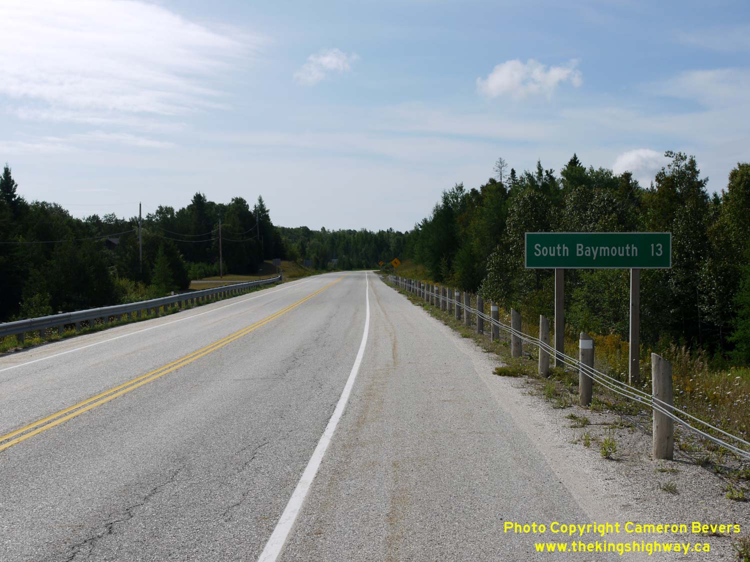
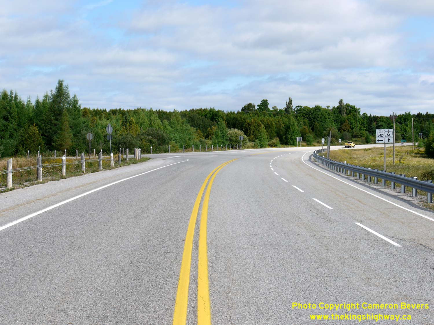
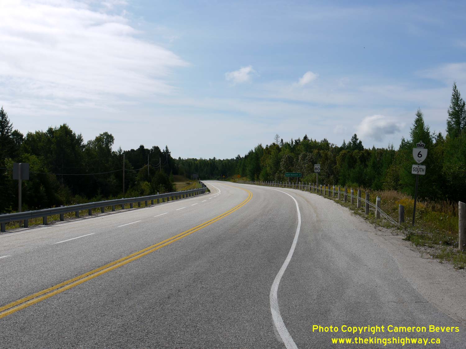
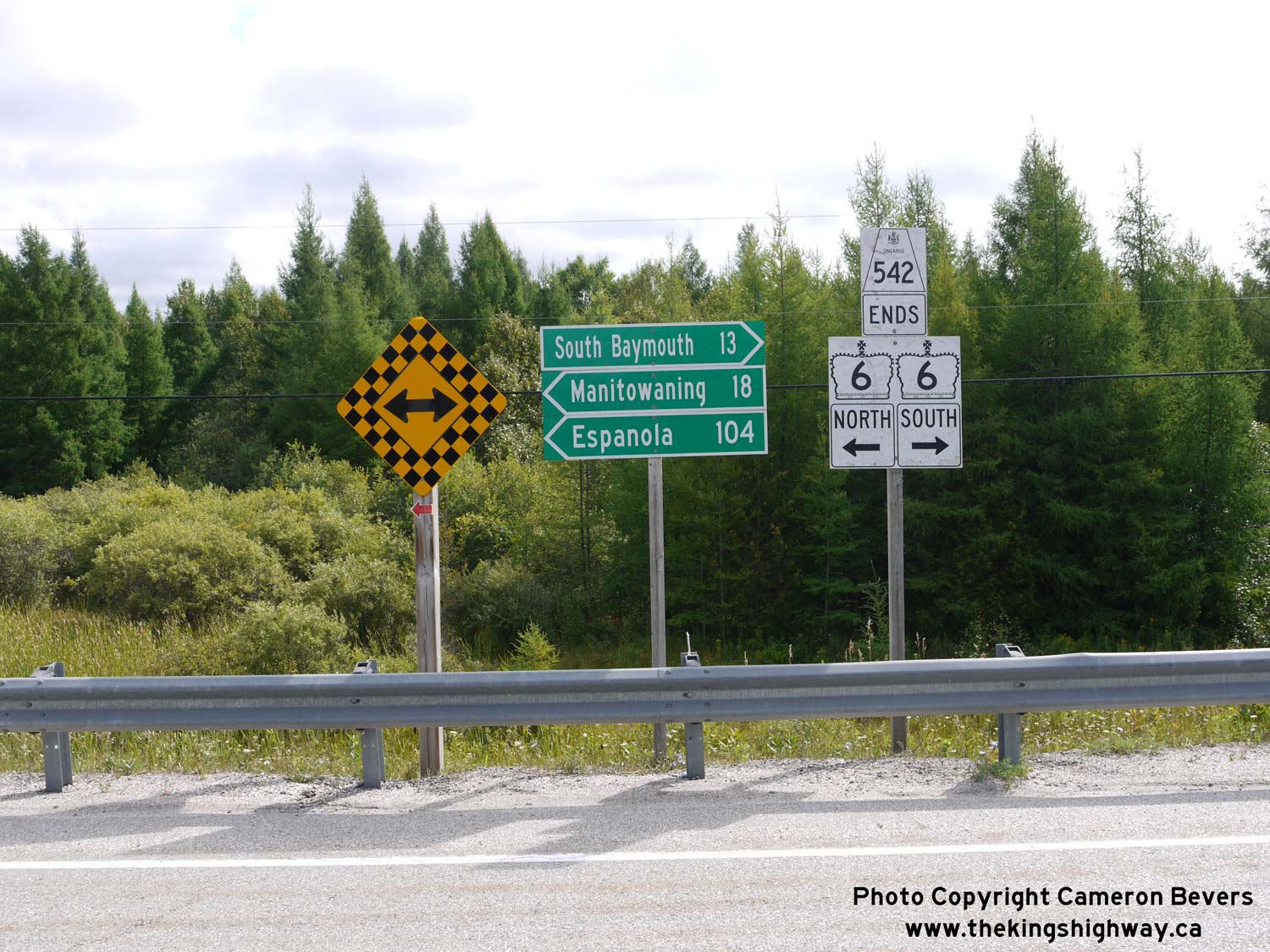
Left - Distance guide sign on southbound Hwy 6 at the Hwy 542 Junction. See an
Enlarged Photo Here. (Photograph taken on August 15, 2016 - © Cameron Bevers) Right - Facing north along Hwy 6 at the Hwy 542 Junction. This is one of only two highway junctions along Hwy 6 on Manitoulin Island. The other highway junction is located at the north end of Manitoulin Island, where Hwy 6 intersects with Hwy 540 within the Town of Little Current. See an Enlarged Photo Here. (Photograph taken on August 15, 2016 - © Cameron Bevers) 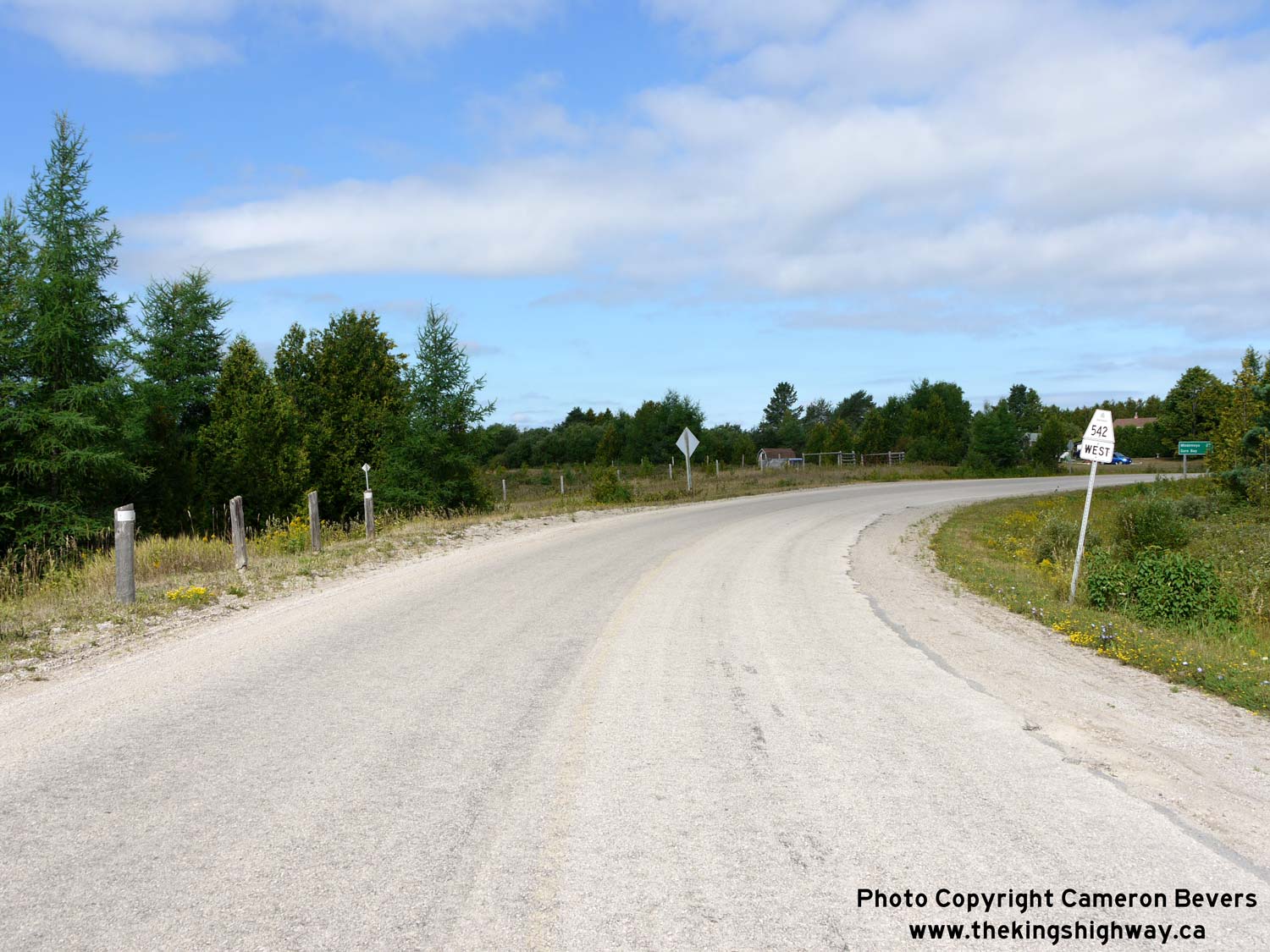
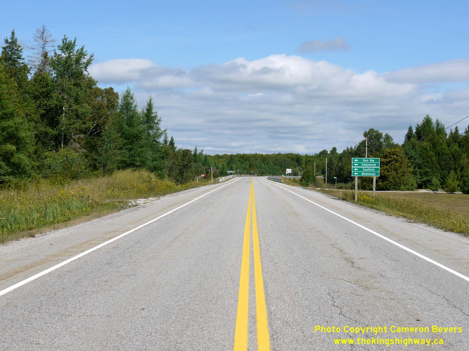
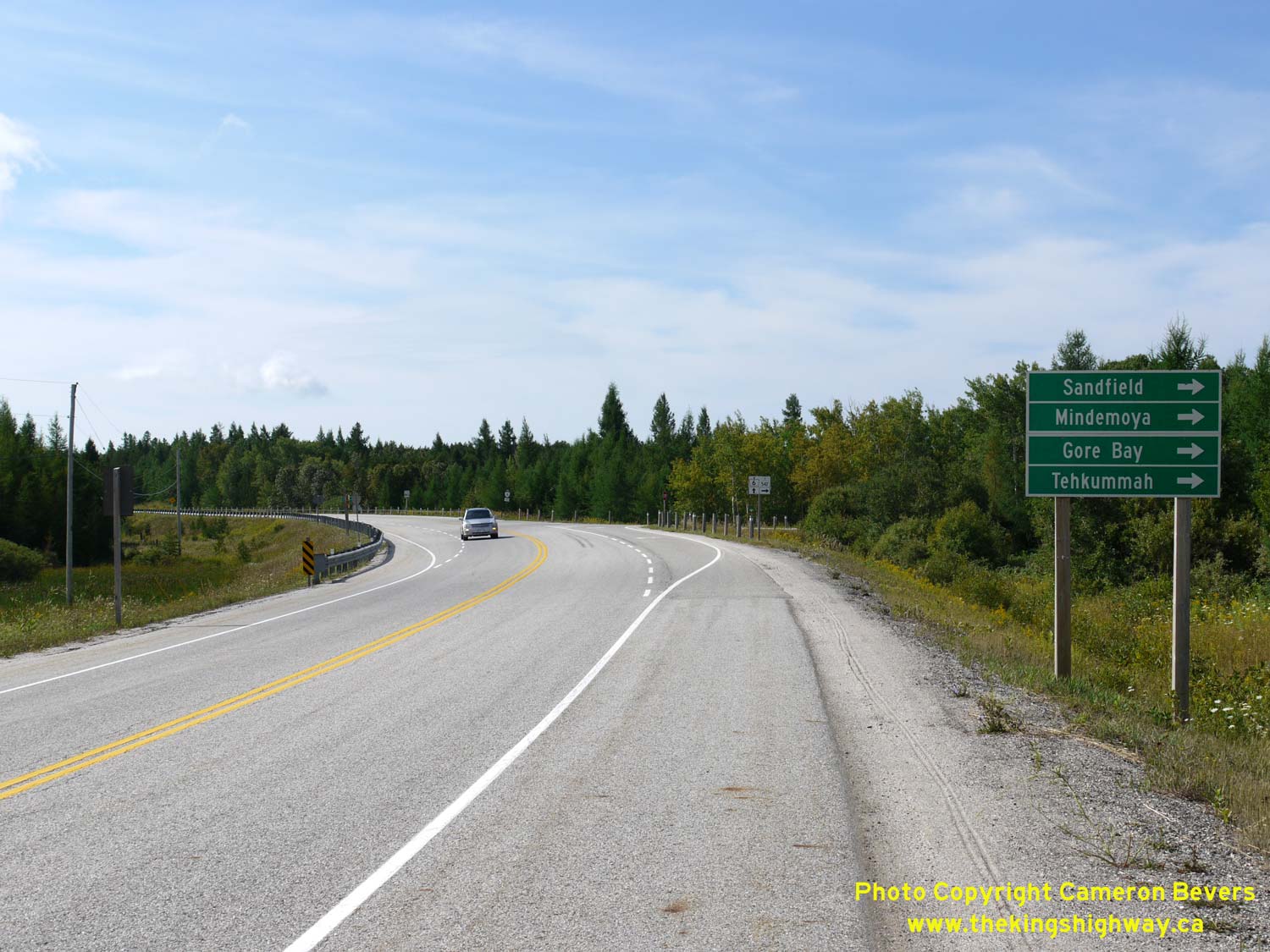
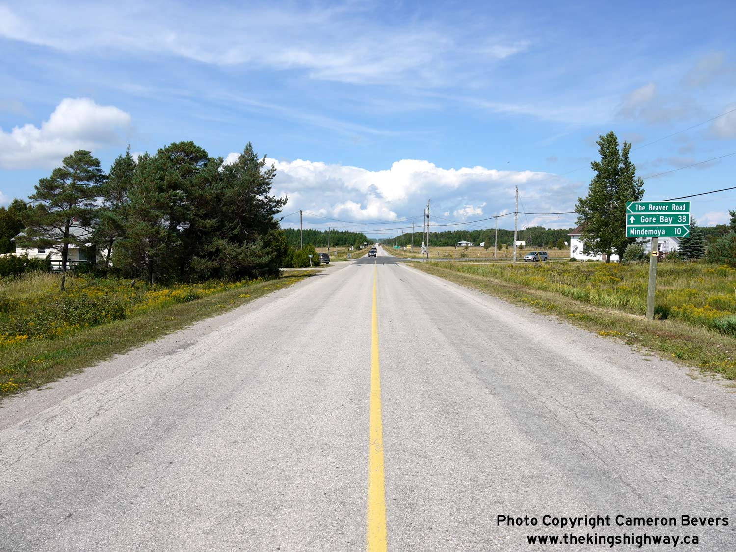
Left - Facing west along Hwy 542 from the Hwy 6 Junction. Hwy 542 heads northwesterly to Gore Bay, via Sandfield and Mindemoya. See an
Enlarged Photo Here. (Photograph taken on August 15, 2016 - © Cameron Bevers) Right - Approaching the eastern terminus of Hwy 542 at the Hwy 6 Junction, about 13 km north of South Baymouth. See an Enlarged Photo Here. (Photograph taken on August 15, 2016 - © Cameron Bevers) 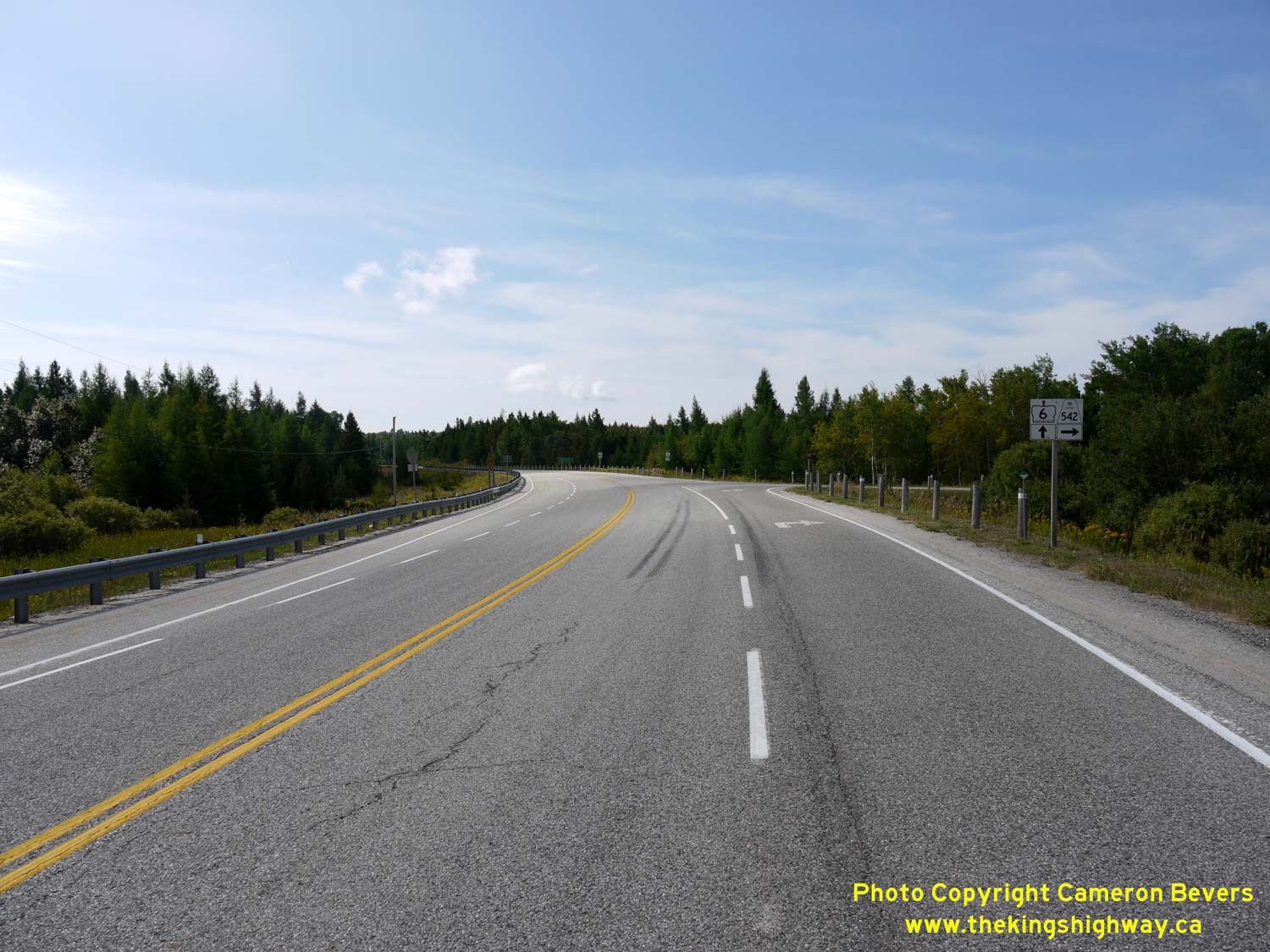
Left - Facing south along Hwy 6 at the Hwy 542 Junction. This highway junction was rebuilt in 1969. When Hwy 542 was first established in 1956, the
two highways intersected at the crossroads, located about 200 metres to the northwest of the current highway junction. See an
Enlarged Photo Here. (Photograph taken on August 15, 2016 - © Cameron Bevers) Right - Junction assembly at the eastern terminus of Hwy 542 at the Hwy 6 Junction. See an Enlarged Photo Here. (Photograph taken on August 15, 2016 - © Cameron Bevers) 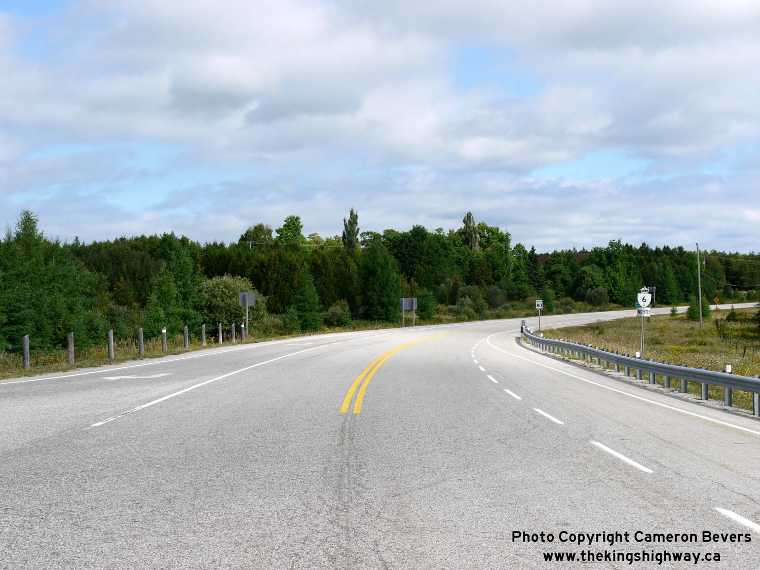
Left - Facing north along Hwy 6 towards Manitowaning from the Hwy 542 Junction. See an
Enlarged Photo Here. (Photograph taken on August 15, 2016 - © Cameron Bevers) Right - Approaching the Hwy 542 Junction on Hwy 6, facing south. See an Enlarged Photo Here. (Photograph taken on August 15, 2016 - © Cameron Bevers) 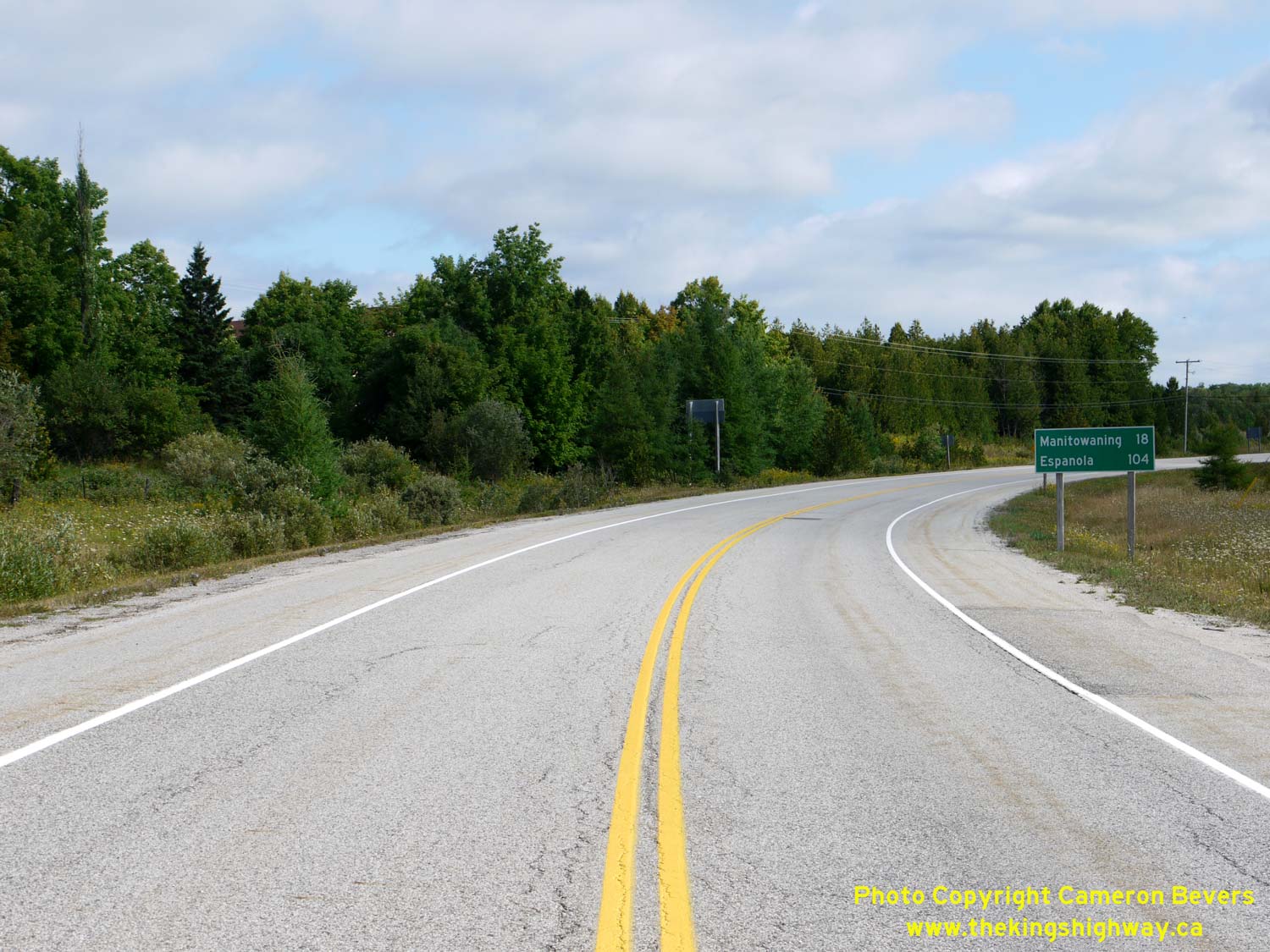

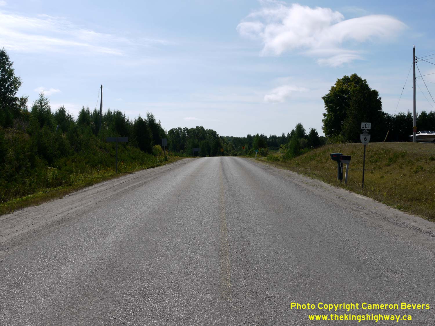
Left - Distance guide sign on northbound Hwy 6 at the Hwy 542 Junction. See an
Enlarged Photo Here. (Photograph taken on August 15, 2016 - © Cameron Bevers) Right - Facing west along Hwy 542 towards Sandfield from the Old Hwy 68 Junction. During reconstruction of this intersection in the late 1960s, Hwy 68 (now Hwy 6) was realigned to the south in order to eliminate an awkward "Y" Junction at Hwy 542. See an Enlarged Photo Here. (Photograph taken on August 15, 2016 - © Cameron Bevers) 

Left - Approaching the Hwy 542A Junction on Hwy 542 near Tehkummah, facing west. These two highways intersect about 1 km west of the Hwy 6 Junction. See an
Enlarged Photo Here. (Photograph taken on August 15, 2016 - © Cameron Bevers) Right - Facing west along Hwy 542 towards Sandfield at the Hwy 542A Junction. The small community of Tehkummah lies about 2 km southwest of Hwy 542 at the end of Hwy 542A. See an Enlarged Photo Here. (Photograph taken on August 15, 2016 - © Cameron Bevers) 

Left - Junction sign assembly on westbound Hwy 542 at the Hwy 542A Junction near Tehkummah. See an
Enlarged Photo Here. (Photograph taken on August 15, 2016 - © Cameron Bevers) Right - Facing east along Hwy 542 towards Hwy 6 from the Hwy 542A Junction. See an Enlarged Photo Here. (Photograph taken on August 15, 2016 - © Cameron Bevers) 

Left - Fingerboard guide signs and junction sign assembly at the eastern terminus of Hwy 542A at the Hwy 542 Junction. See an
Enlarged Photo Here. (Photograph taken on August 15, 2016 - © Cameron Bevers) Right - Facing west along Hwy 542A towards Tehkummah from the Hwy 542 Junction. See an Enlarged Photo Here. (Photograph taken on August 15, 2016 - © Cameron Bevers) 

Left - Facing east along Hwy 542 at the Hwy 542A Junction. Eastbound traffic can either continue east to the Hwy 6 Junction which lies about 1 km ahead, or turn
right onto Hwy 542A to Tehkummah. A township road extends west from Tehkummah to the much larger community of Providence Bay, located on the north shore of Lake
Huron. See an Enlarged Photo Here. (Photograph taken on August 15, 2016 - © Cameron Bevers) Right - Approaching the Hwy 542A Junction on Hwy 542, facing east. Note the small fingerboard guide sign pointing to Tehkummah at right. See an Enlarged Photo Here. (Photograph taken on August 15, 2016 - © Cameron Bevers) 

Left - Facing west along Hwy 542 towards Mindemoya from the Hwy 542A Junction near Tehkummah. See an
Enlarged Photo Here. (Photograph taken on August 15, 2016 - © Cameron Bevers) Right - View of Hwy 542 approaching Townline Road near Tehkummah, facing west. See an Enlarged Photo Here. (Photograph taken on August 15, 2016 - © Cameron Bevers) 

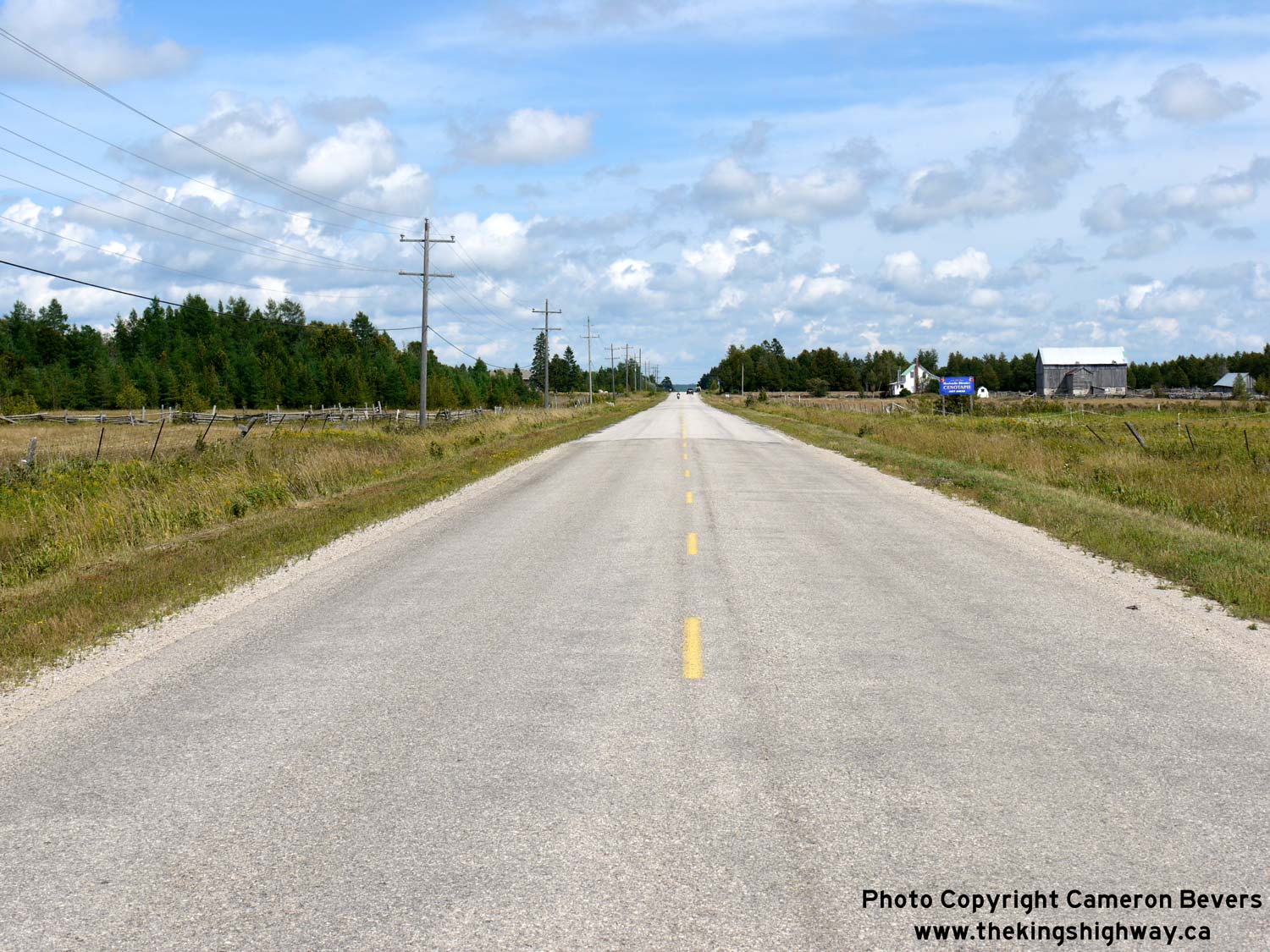
Left - Facing west along Hwy 542, about 2 km east of Sandfield. See an
Enlarged Photo Here. (Photograph taken on August 15, 2016 - © Cameron Bevers) Right - Eastern entrance to Sandfield on Hwy 542, facing west towards Mindemoya. See an Enlarged Photo Here. (Photograph taken on August 15, 2016 - © Cameron Bevers) 

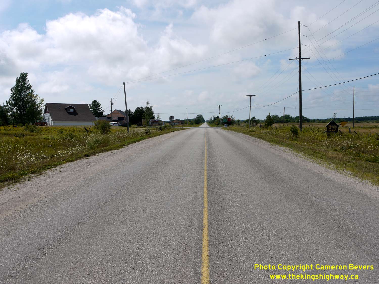
Left - Facing west along Hwy 542 at Sandfield. This is the only community located along Hwy 542 east of Mindemoya. See an
Enlarged Photo Here. (Photograph taken on August 15, 2016 - © Cameron Bevers) Right - Manitou River Bridge on Hwy 542, facing west towards Mindemoya. See an Enlarged Photo Here. (Photograph taken on August 15, 2016 - © Cameron Bevers) 

Left - A scenic view of the lazy Manitou River, facing south from the Sandfield Bridge on Hwy 542. See an
Enlarged Photo Here. (Photograph taken on August 15, 2016 - © Cameron Bevers) Right - Facing east along Hwy 542 at the Manitou River Bridge at Sandfield. See an Enlarged Photo Here. (Photograph taken on August 15, 2016 - © Cameron Bevers) 

Left - Side view of the Manitou River Bridge on Hwy 542 at Sandfield. This three-span concrete structure was completed in 1966. See an
Enlarged Photo Here. (Photograph taken on August 15, 2016 - © Cameron Bevers) Right - Scenic view of Lake Manitou from the roadside park on Hwy 542 at Sandfield. Manitoulin Island is known for its scenic, crystal-clear inland lakes. See an Enlarged Photo Here. (Photograph taken on August 15, 2016 - © Cameron Bevers) 

Left - Abandoned section of Hwy 542 about 4 km west of Sandfield. This former section of Hwy 542 is now an ATV trail. See an
Enlarged Photo Here. (Photograph taken on August 15, 2016 - © Cameron Bevers) Right - Another view of the abandoned section of Hwy 542. This section of Hwy 542 was bypassed during a highway improvement project which was carried out in 1985. See an Enlarged Photo Here. (Photograph taken on August 15, 2016 - © Cameron Bevers) 

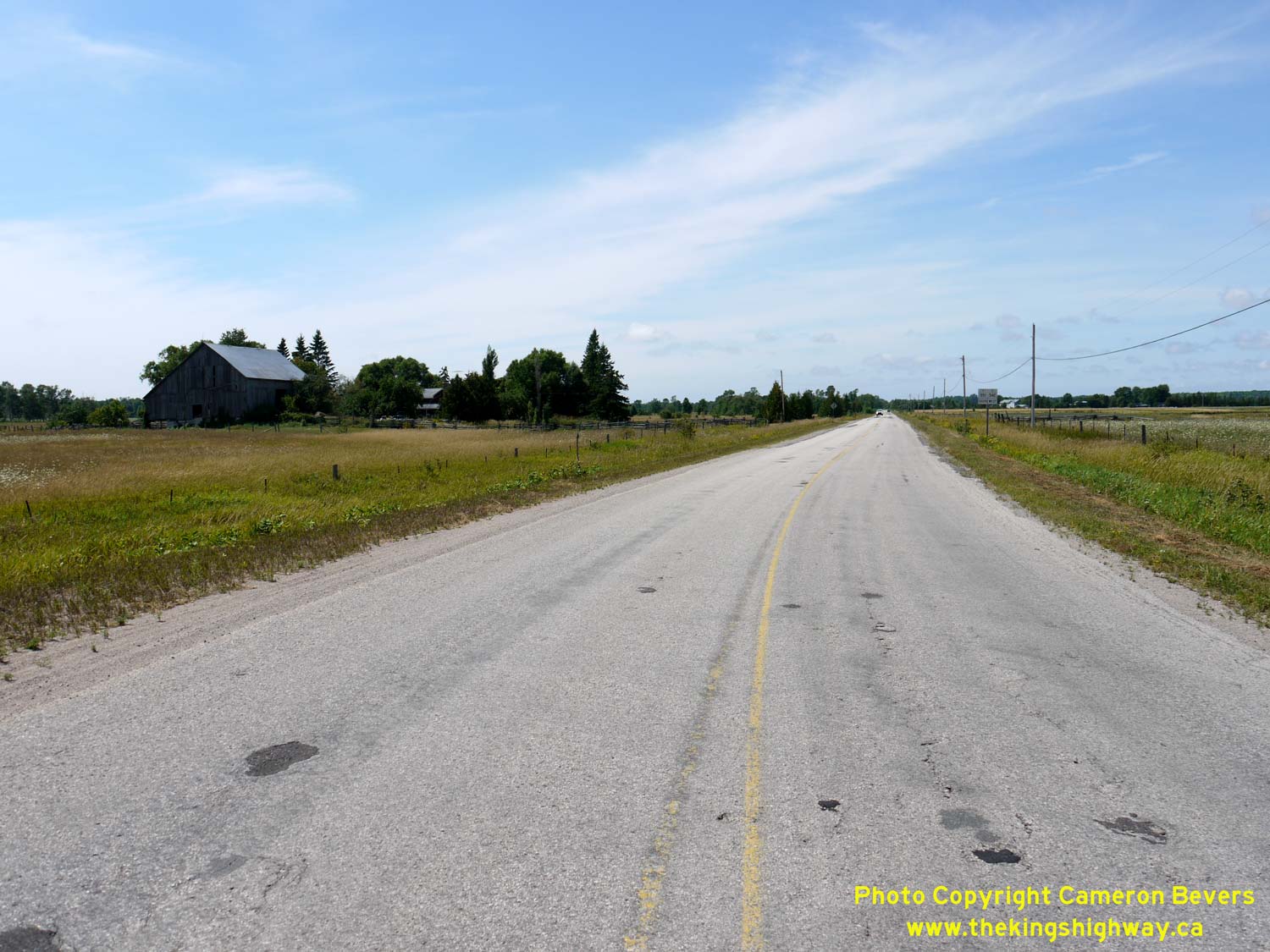
Left - Hwy 542 rounds the north shore of Big Lake between Sandfield and Mindemoya. Land surveyors in the 19th Century set aside a 66-foot "Shore Road
Allowance" alongside many of Ontario's lakes and rivers, in order to ensure public access to lakefront lots which may have otherwise been inaccessible. Many of
Manitoulin Island's highways follow these old Shore Road Allowances. Motorists are thus treated to numerous lakeside views along Hwy 542 and other highways on
Manitoulin Island. Note the red van on Hwy 542 just to the right of the barn. See an
Enlarged Photo Here. (Photograph taken on August 15, 2016 - © Cameron Bevers) Right - A public boat launch exists along Hwy 542 at Big Lake, about 8 km east of Mindemoya. See an Enlarged Photo Here. (Photograph taken on August 15, 2016 - © Cameron Bevers) 

Left - Facing east along Old Hwy 542 (Coventry Road) beside Big Lake. This section of Hwy 542 was bypassed by a new highway on an improved alignment in 1968.
See an Enlarged Photo Here. (Photograph taken on August 15, 2016 - © Cameron Bevers) Right - Another view of Old Hwy 542 (Coventry Road) near Big Lake, about 7 km east of Mindemoya. Jurisdiction over this former section of Hwy 542 was transferred from the Ministry of Transportation and Communications (MTC) to the Township of Sandfield in 1979. See an Enlarged Photo Here. (Photograph taken on August 15, 2016 - © Cameron Bevers) 

Left - Facing east along Hwy 542 towards Sandfield from the eastern entrance to Mindemoya. See an
Enlarged Photo Here. (Photograph taken on August 15, 2016 - © Cameron Bevers) Right - Eastern entrance to Mindemoya on Hwy 542. Mindemoya is the largest community in the central part of Manitoulin Island. See an Enlarged Photo Here. (Photograph taken on August 15, 2016 - © Cameron Bevers) 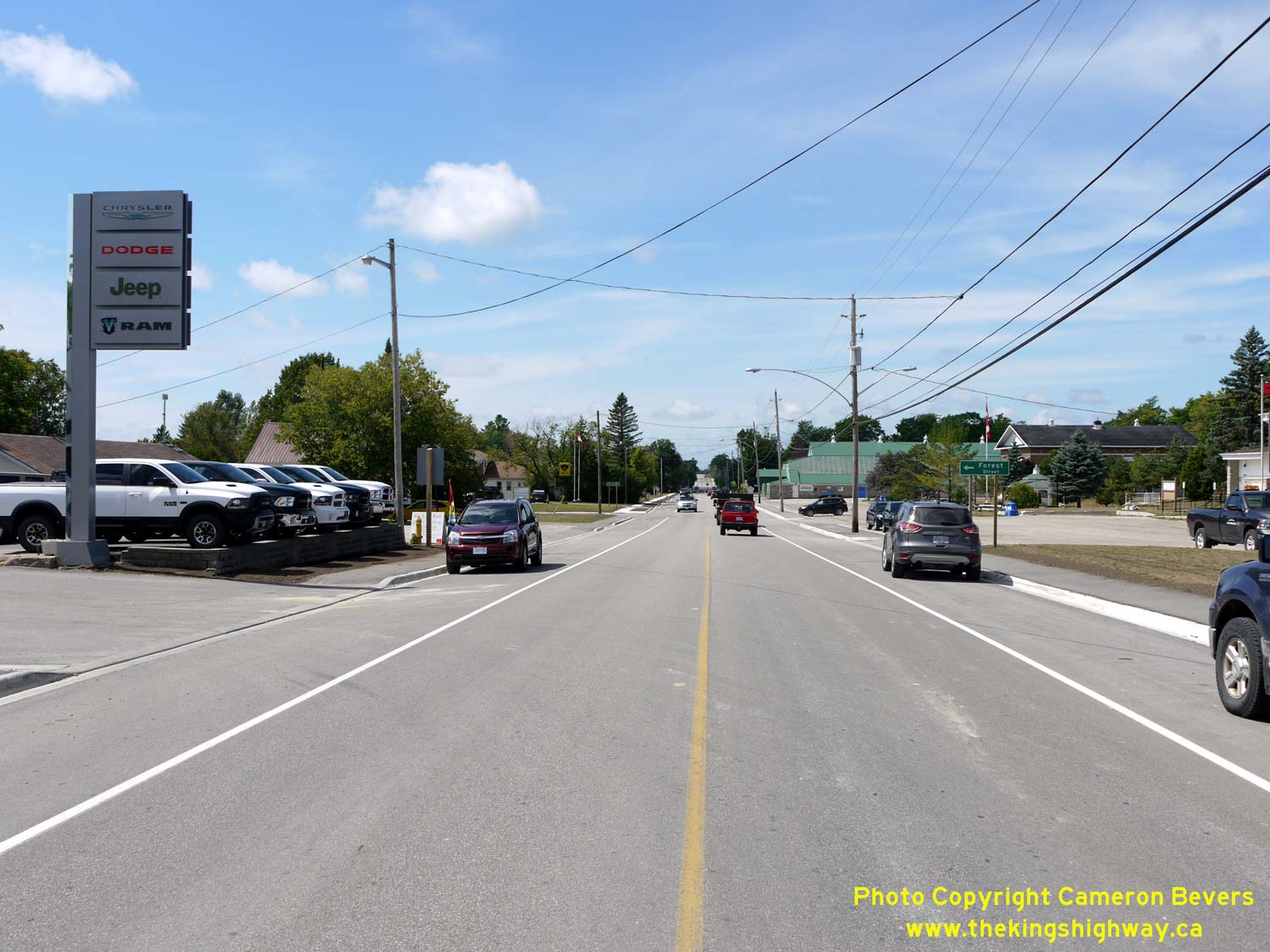
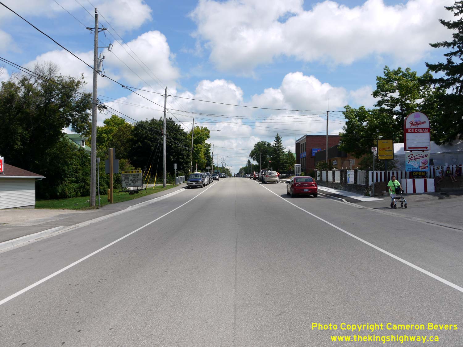
Left - View of Hwy 542 (King Street) in Mindemoya, facing west near Forest Street. See an
Enlarged Photo Here. (Photograph taken on August 15, 2016 - © Cameron Bevers) Right - Facing east along Hwy 542 (King Street) from the Hwy 551 North Junction in Mindemoya. See an Enlarged Photo Here. (Photograph taken on August 15, 2016 - © Cameron Bevers) 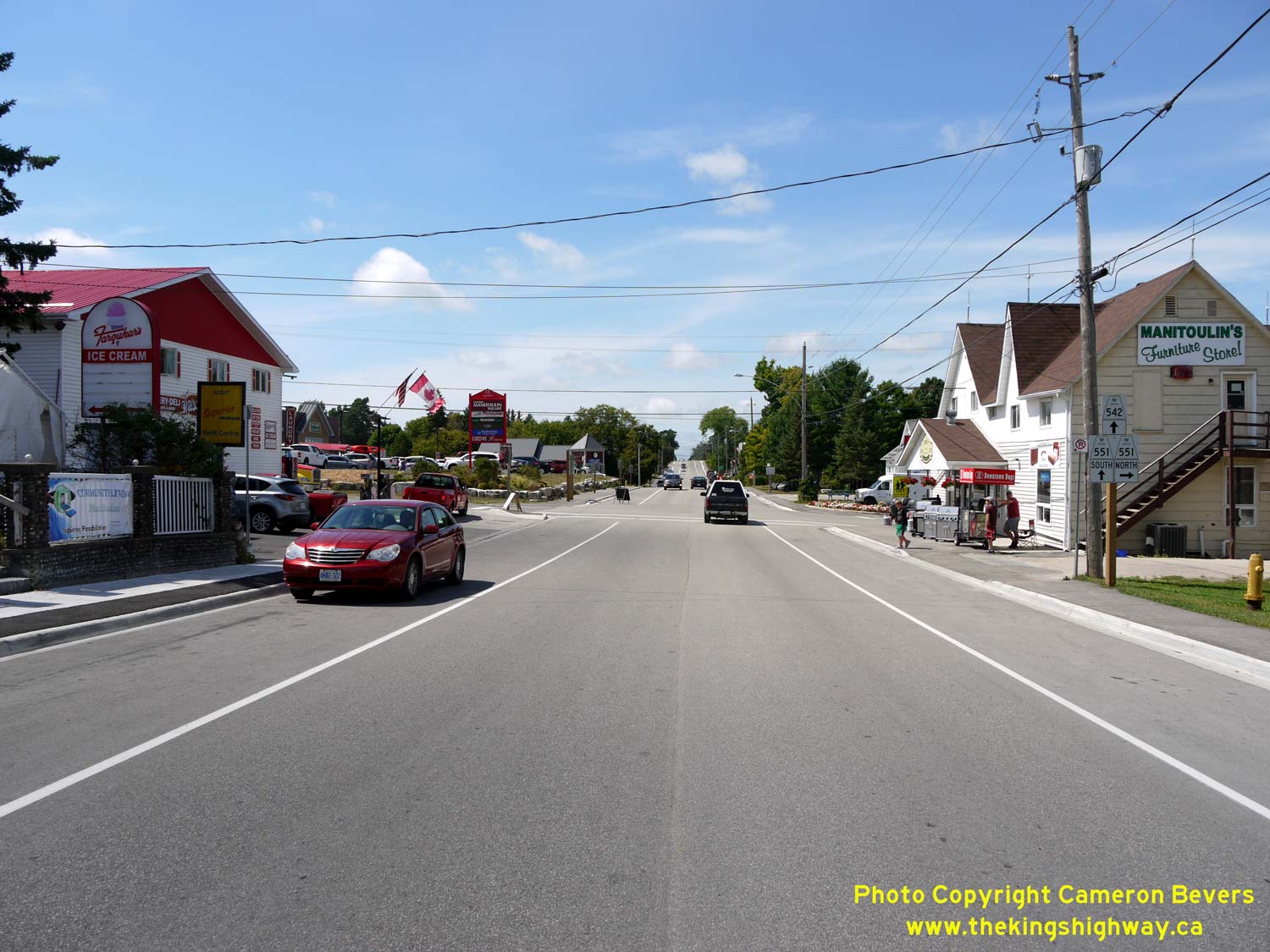
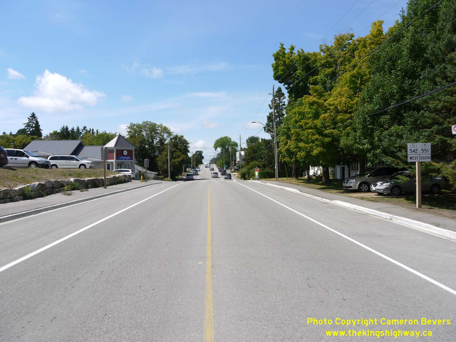
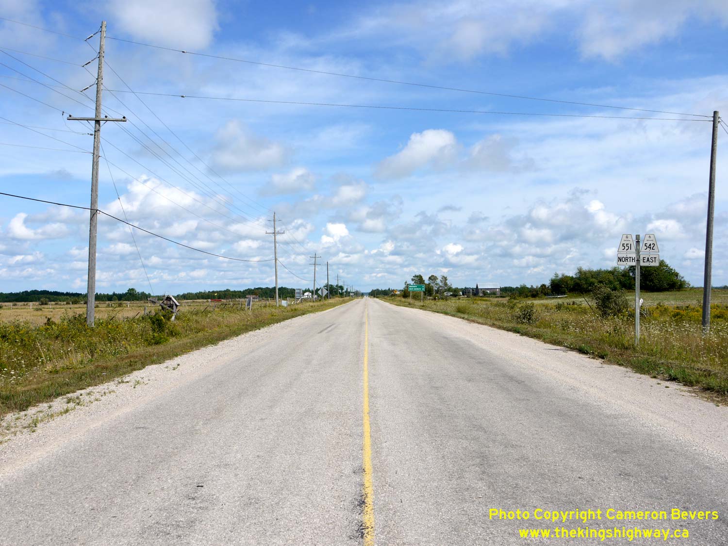
Left - Approaching the Hwy 542 & Hwy 551 North Junction in Mindemoya, facing west towards Gore Bay. See an
Enlarged Photo Here. (Photograph taken on August 15, 2016 - © Cameron Bevers) Right - Junction sign assembly on westbound Hwy 542 approaching the Hwy 551 North Junction. As the signs indicate, Hwy 542 & Hwy 551 begin an overlapped route in Mindemoya. These two highways have shared a concurrent route between Mindemoya and Dryden's Corners ever since the two highways were first established in 1956. See an Enlarged Photo Here. (Photograph taken on August 15, 2016 - © Cameron Bevers) 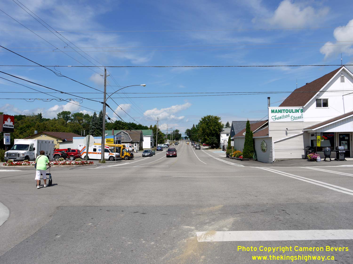
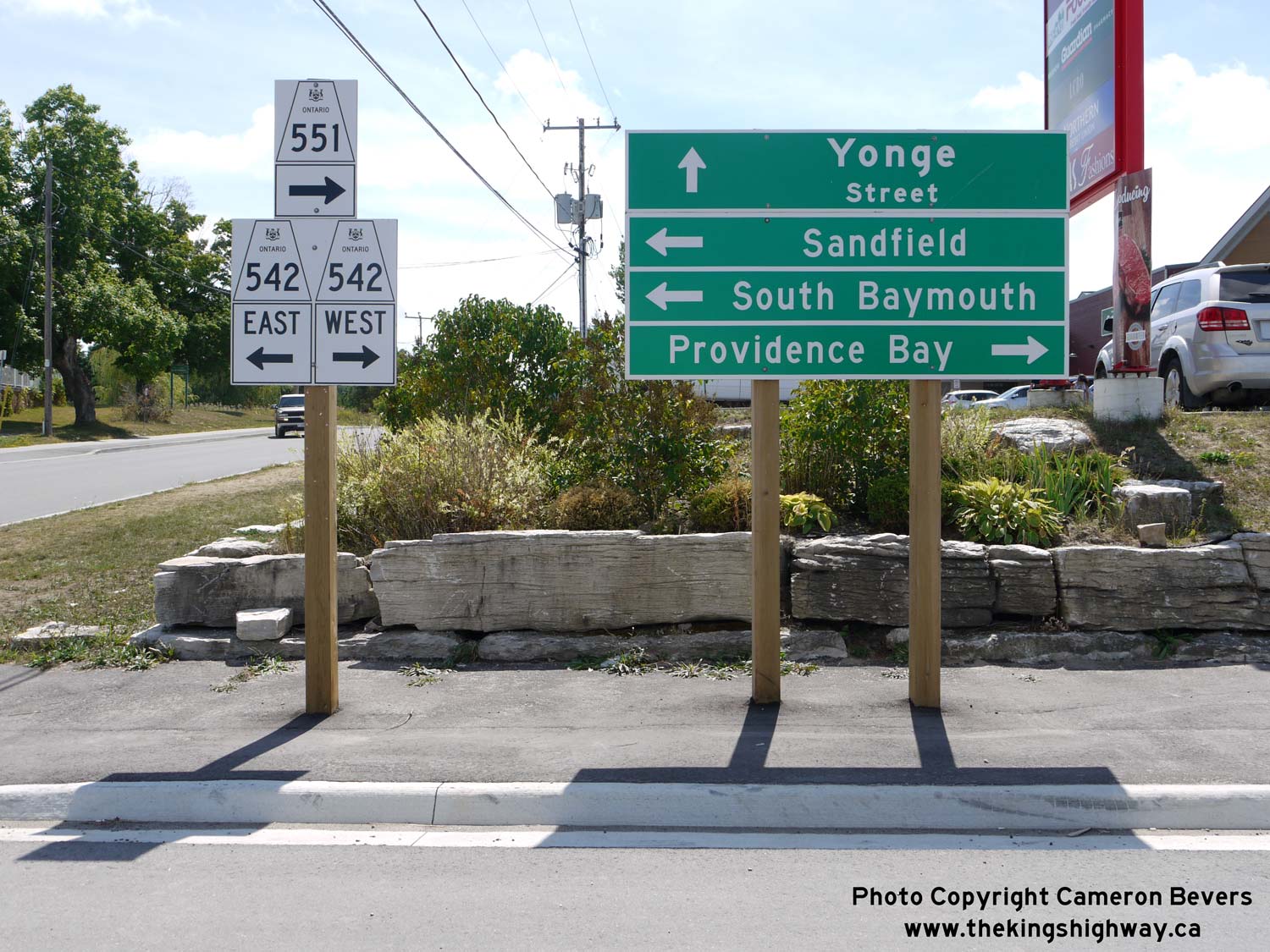
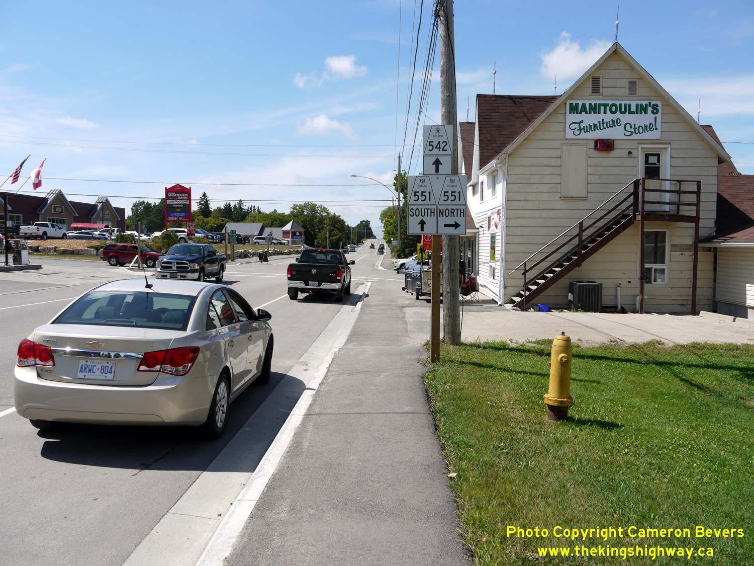
Left - View of Yonge Street (Hwy 551 North) at King Street (Hwy 542) in Mindemoya, facing north. The two highways meet in the centre of the village. See an
Enlarged Photo Here. (Photograph taken on August 15, 2016 - © Cameron Bevers) Right - Junction sign assembly and destination guide signs at the Hwy 542 & Hwy 551 North Junction in Mindemoya. See an Enlarged Photo Here. (Photograph taken on August 15, 2016 - © Cameron Bevers) 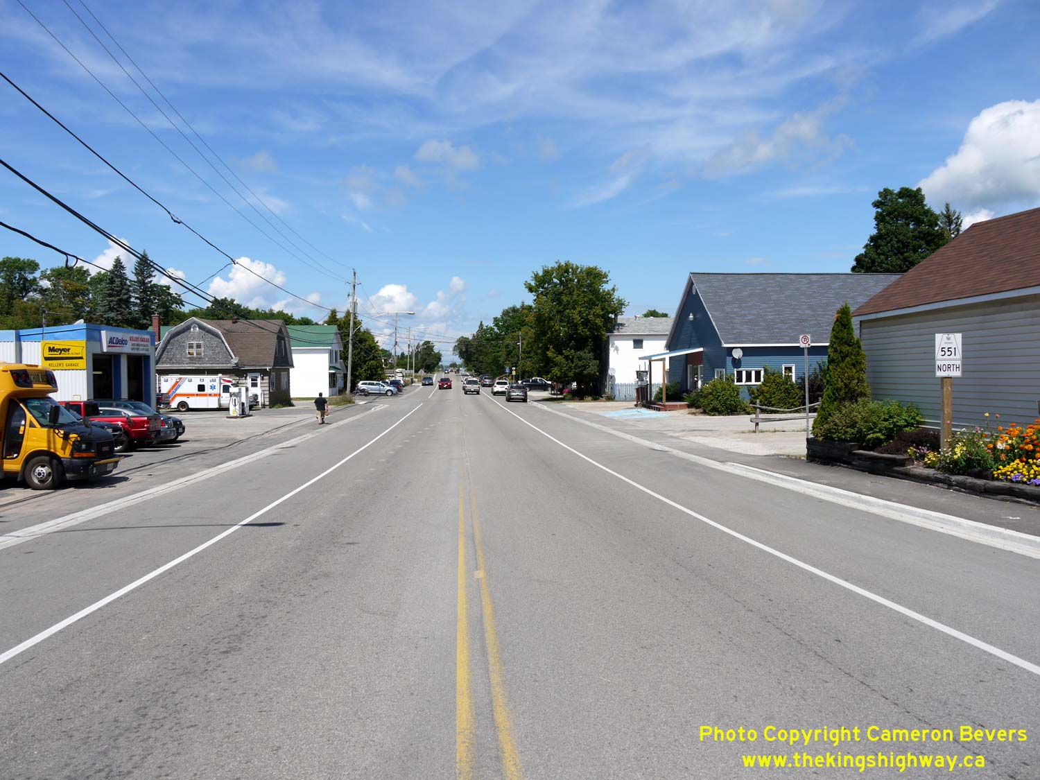
Left - Facing north along Yonge Street (Hwy 551 North) from King Street (Hwy 542) in Mindemoya. Hwy 551 heads north from Mindemoya to M'Chigeeng (West Bay),
where it connects with Hwy 540 half-way between Little Current and Gore Bay. See an
Enlarged Photo Here. (Photograph taken on August 15, 2016 - © Cameron Bevers) Right - Approaching the Hwy 542 & Hwy 551 North Junction in Mindemoya, facing south. At King Street, Hwy 551 turns right and heads west concurrently with Hwy 542 for about 10 km to Dryden's Corners. From there, Hwy 551 resumes its route south to Providence Bay, where the highway comes to an end beside Lake Huron. See an Enlarged Photo Here. (Photograph taken on August 15, 2016 - © Cameron Bevers) 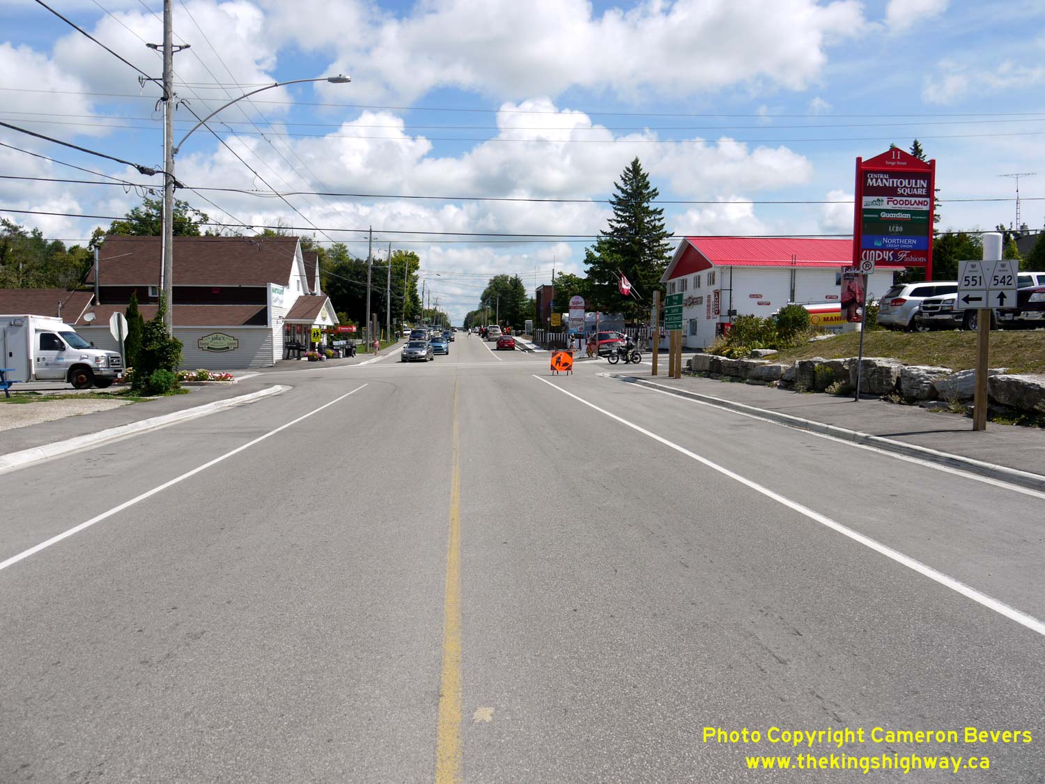
Left - Approaching the Hwy 542 & Hwy 551 North Junction in Mindemoya, facing east. At Yonge Street, the overlapped route of Hwy 542 & Hwy 551 comes to
an end. Hwy 542 continues east towards Sandfield, while Hwy 551 resumes its route north towards M'Chigeeng (West Bay). See an
Enlarged Photo Here. (Photograph taken on August 15, 2016 - © Cameron Bevers) Right - Facing west towards Dryden's Corners along King Street (Hwy 542 & Hwy 551) from Yonge Street in Mindemoya. See an Enlarged Photo Here. (Photograph taken on August 15, 2016 - © Cameron Bevers) 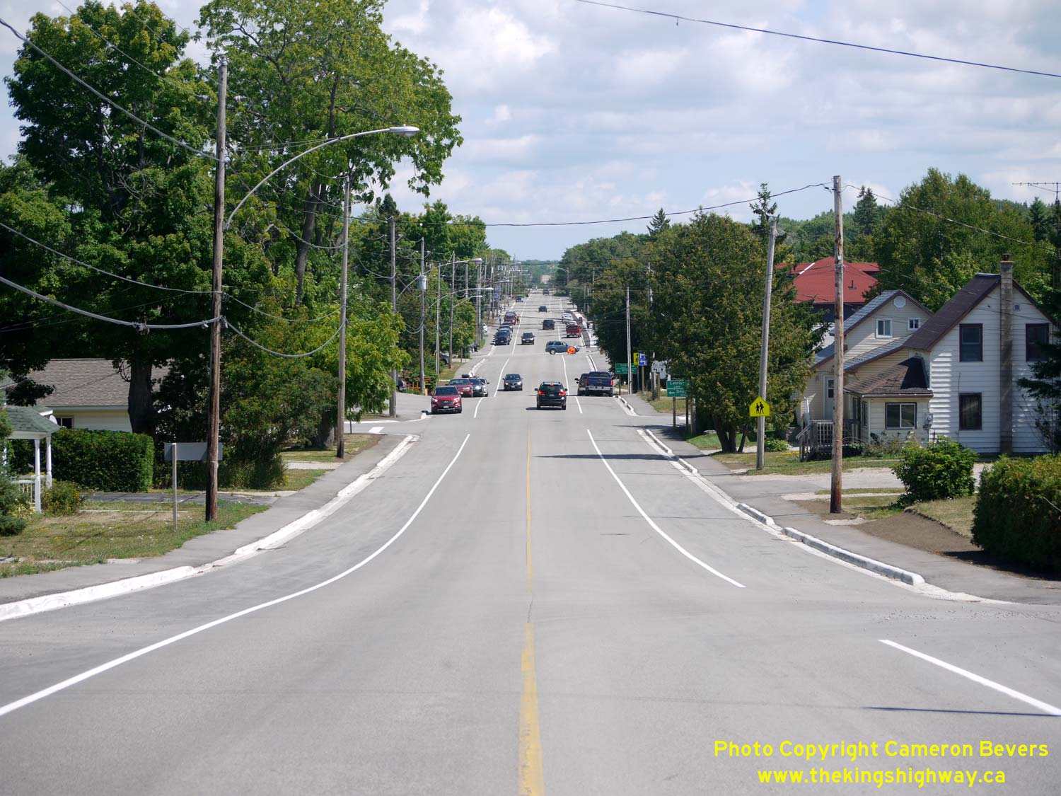
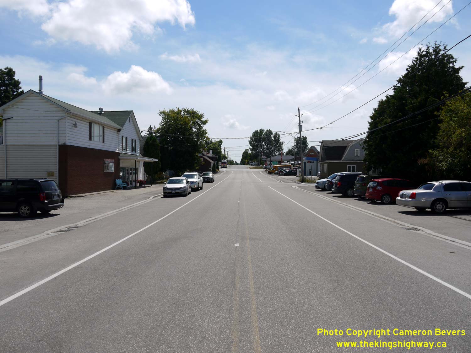
Left - Facing east along King Street (Hwy 542 & Hwy 551) from Nixon Street in Mindemoya. See an
Enlarged Photo Here. (Photograph taken on August 15, 2016 - © Cameron Bevers) Right - Distance guide sign on westbound Hwy 542 & Hwy 551 near the western entrance to Mindemoya. See an Enlarged Photo Here. (Photograph taken on August 15, 2016 - © Cameron Bevers) 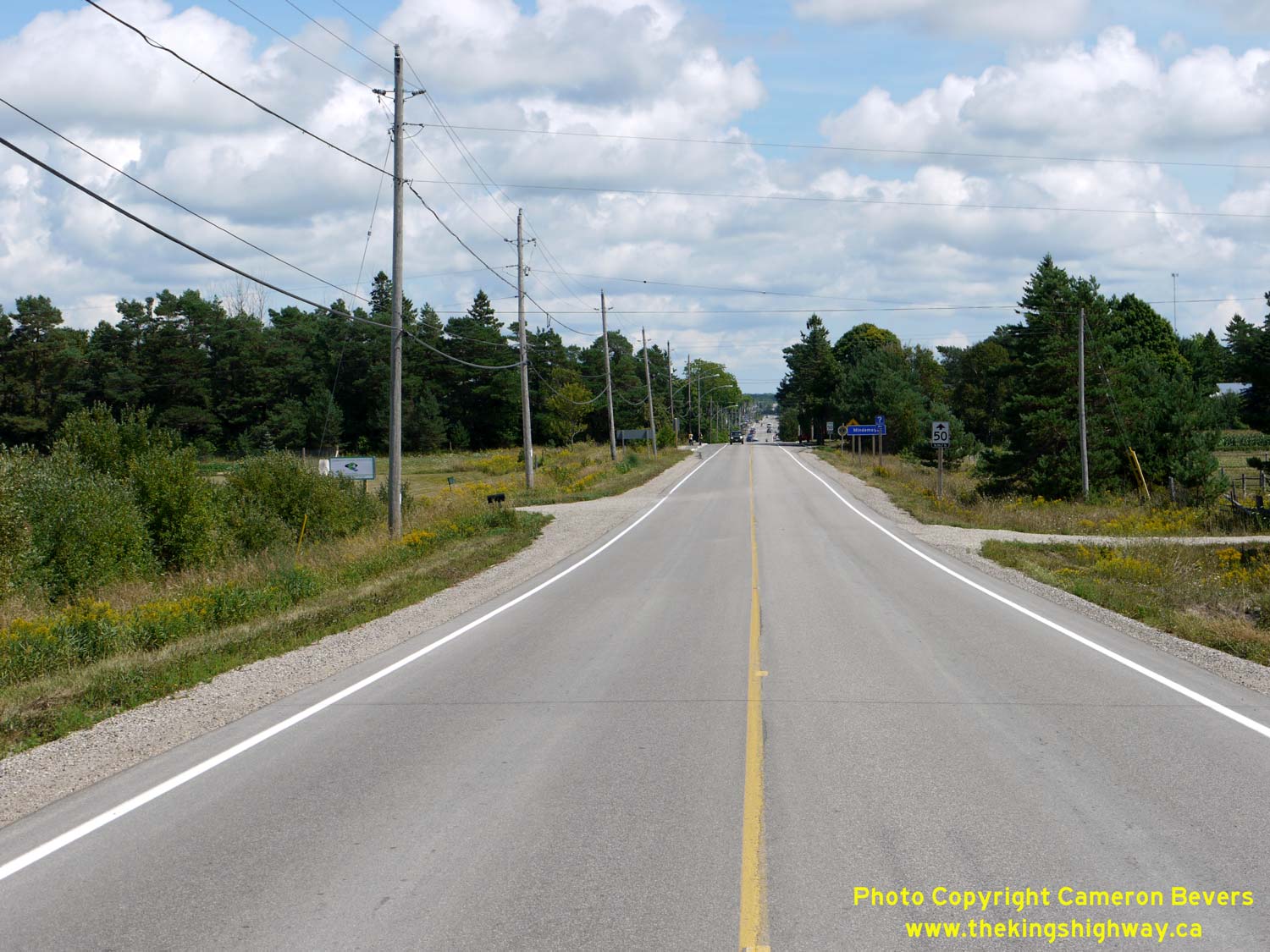
Left - Facing east along Hwy 542 & Hwy 551 approaching the western entrance to Mindemoya. See an
Enlarged Photo Here. (Photograph taken on August 15, 2016 - © Cameron Bevers) Right - Facing west along Hwy 542 & Hwy 551 from McAllister Road, located about 4 km west of Mindemoya. See an Enlarged Photo Here. (Photograph taken on August 15, 2016 - © Cameron Bevers) 
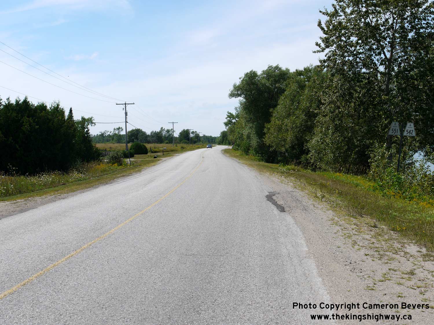
Left - Dual Hwy 542 & Hwy 551 route markers near Mindemoya Lake. It is a very uncommon occurrence to have an overlapped route between two Ontario Secondary
Highways. Typically, Secondary Highways are local (and often dead-end) highways, which seldom continue for enough of a distance that they would ever run concurrently
with another route. See an Enlarged Photo Here. (Photograph taken on August 15, 2016 - © Cameron Bevers) Right - Facing west along Hwy 542 & Hwy 551 approaching Mindemoya Lake. See an Enlarged Photo Here. (Photograph taken on August 15, 2016 - © Cameron Bevers) 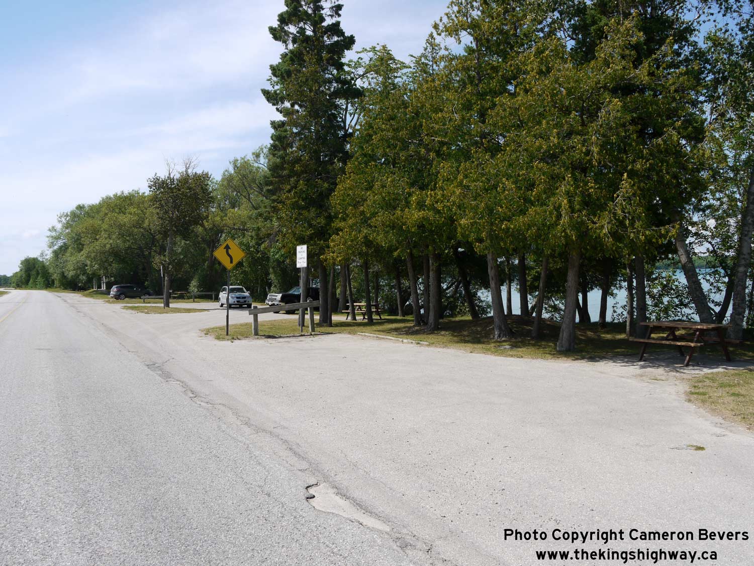
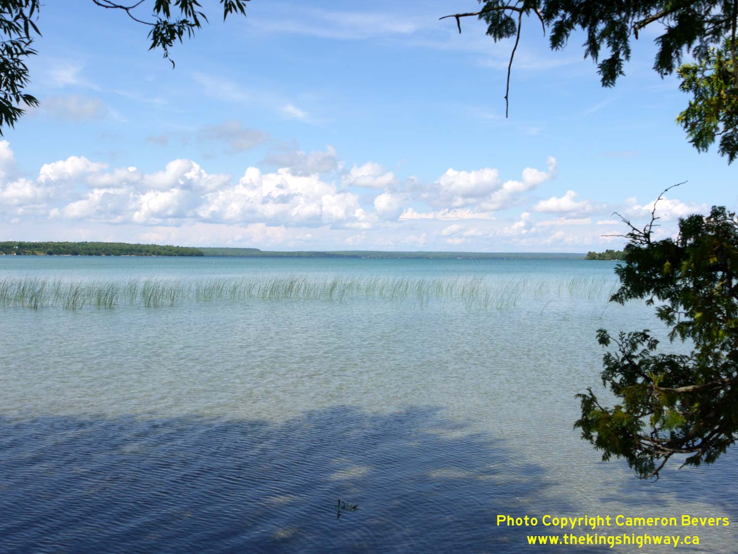
Left - Roadside park along Hwy 542 & Hwy 551 at Mindemoya Lake, located about 6 km west of Mindemoya. This small but popular park is situated on a narrow
strip of land sandwiched between the highway and the southern shore of Mindemoya Lake. The park features several picnic tables, parking and toilets. See an
Enlarged Photo Here. (Photograph taken on August 15, 2016 - © Cameron Bevers) Right - Scenic view of Mindemoya Lake from the roadside park on Hwy 542 & Hwy 551. See an Enlarged Photo Here. (Photograph taken on August 15, 2016 - © Cameron Bevers) 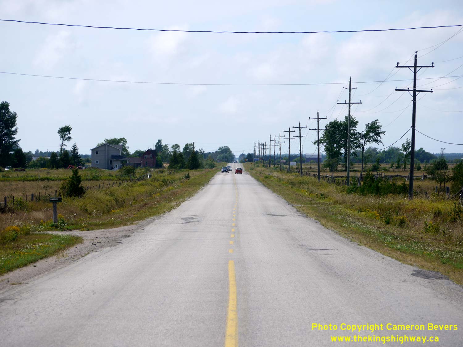
Left - Facing west along Hwy 542 & Hwy 551 near Monument Corners, about 8 km west of Mindemoya. See an
Enlarged Photo Here. (Photograph taken on August 15, 2016 - © Cameron Bevers) Right - View of Hwy 542 & Hwy 551 between Monument Corners and Dryden's Corners, facing east towards Mindemoya. See an Enlarged Photo Here. (Photograph taken on August 15, 2016 - © Cameron Bevers) 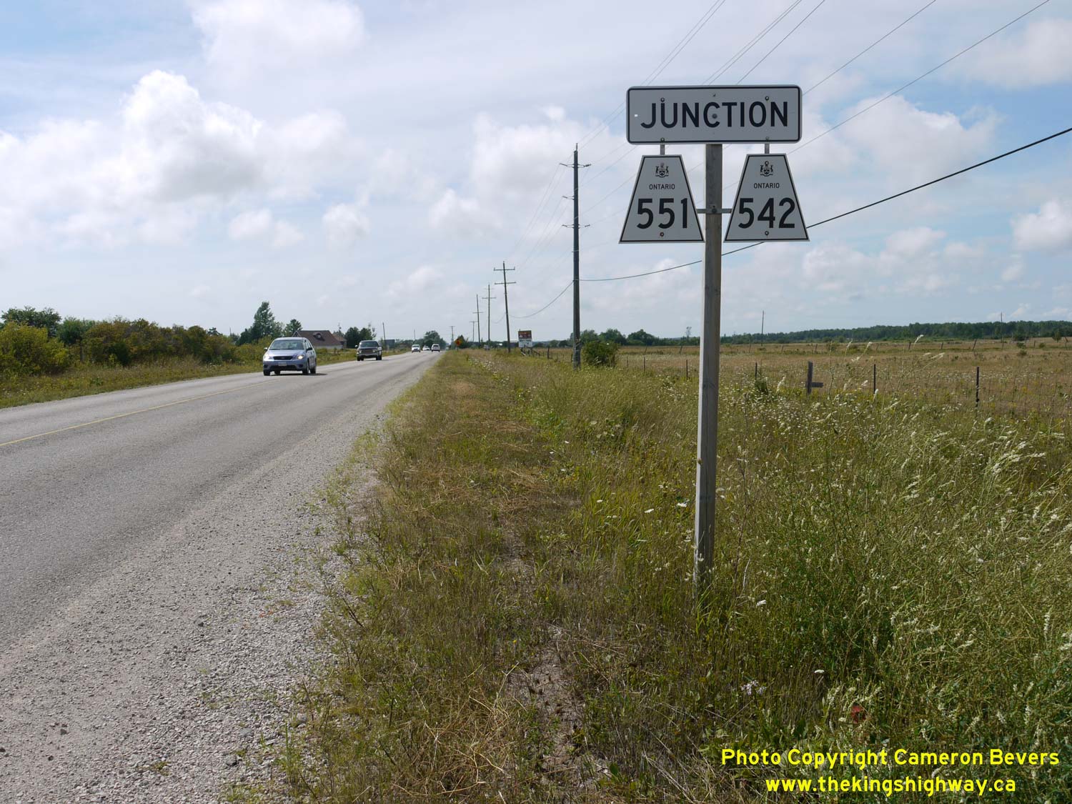
Left - Junction assembly on westbound Hwy 542 & Hwy 551 approaching Dryden's Corners. See an
Enlarged Photo Here. (Photograph taken on August 15, 2016 - © Cameron Bevers) Right - Approaching the Hwy 542 & Hwy 551 South Junction at Dryden's Corners, facing west. See an Enlarged Photo Here. (Photograph taken on August 15, 2016 - © Cameron Bevers) 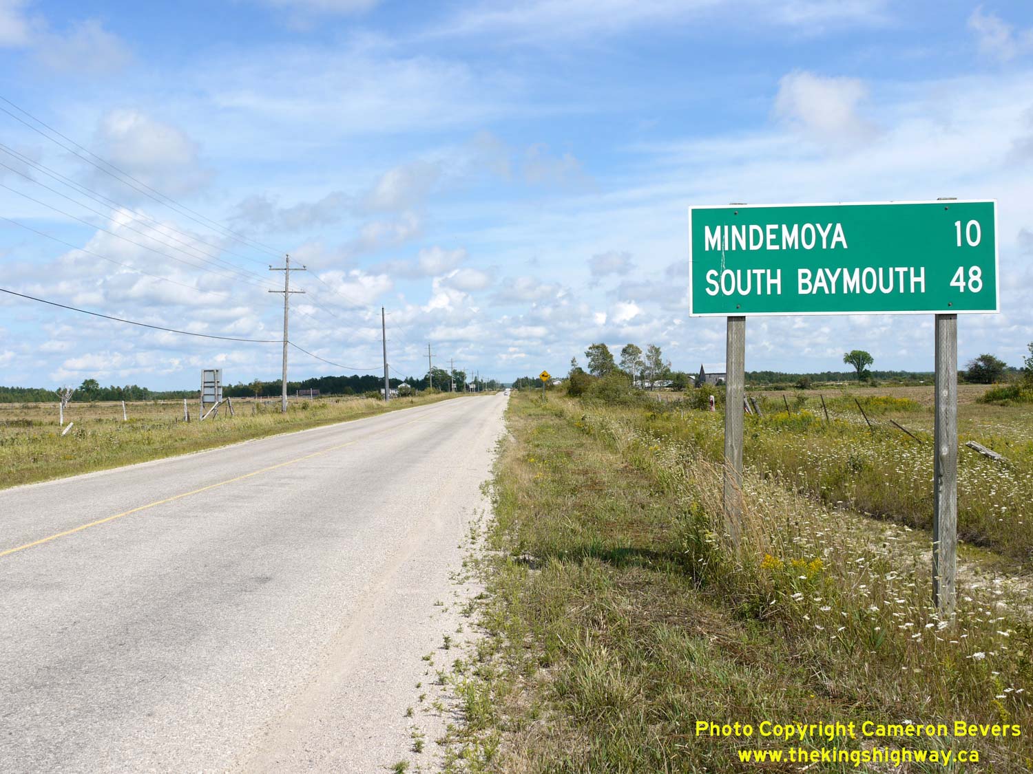
Left - Distance guide sign on eastbound Hwy 542 & Hwy 551 at Dryden's Corners. See an
Enlarged Photo Here. (Photograph taken on August 15, 2016 - © Cameron Bevers) Right - Facing east along Hwy 542 & Hwy 551 towards Mindemoya from Dryden's Corners. See an Enlarged Photo Here. (Photograph taken on August 15, 2016 - © Cameron Bevers) 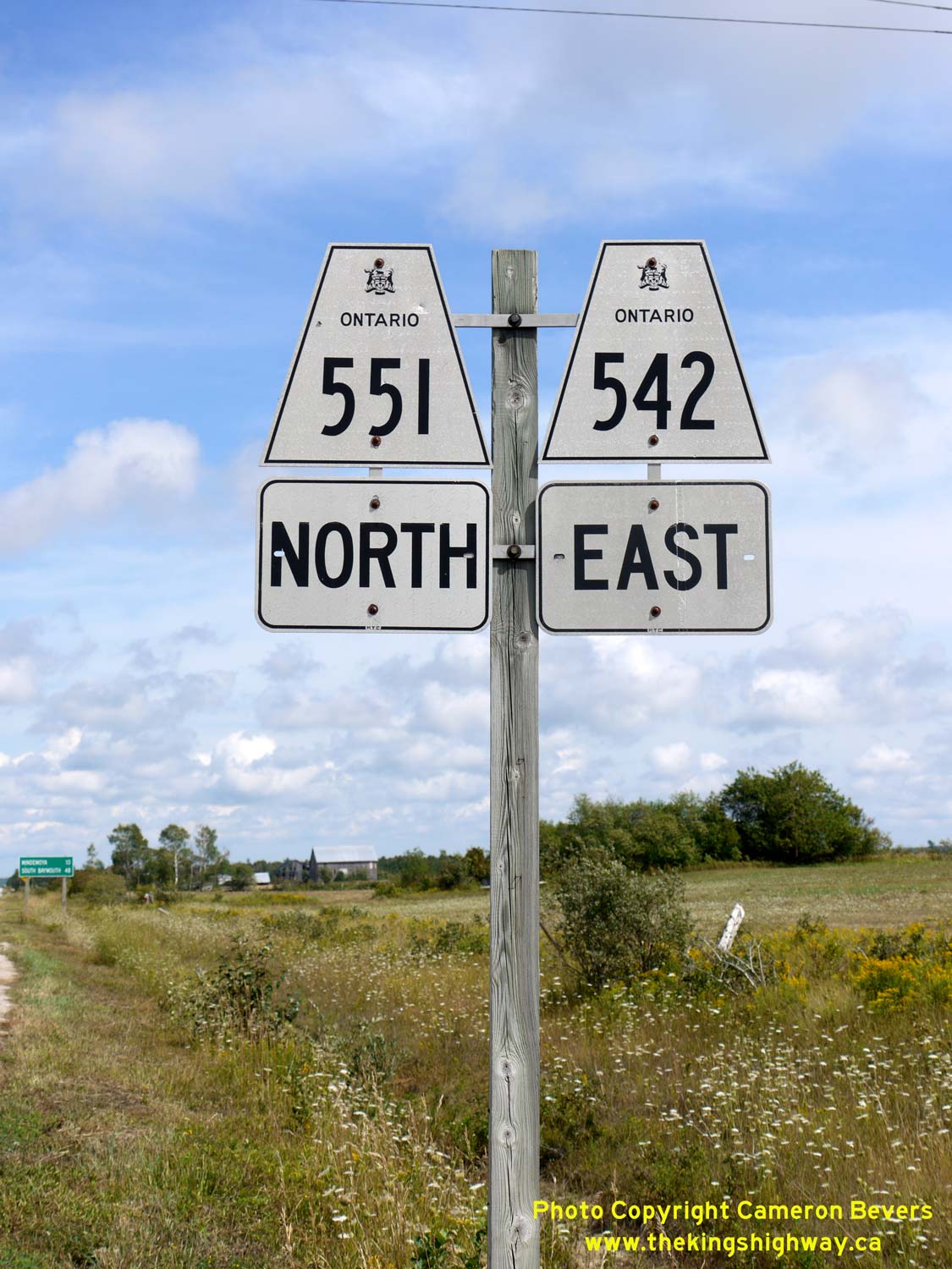
Above - Dual Hwy 542 & Hwy 551 route marker assembly at the start of the overlapped route at Dryden's Corners. See an
Enlarged Photo Here. (Photograph taken on August 15, 2016 - © Cameron Bevers) 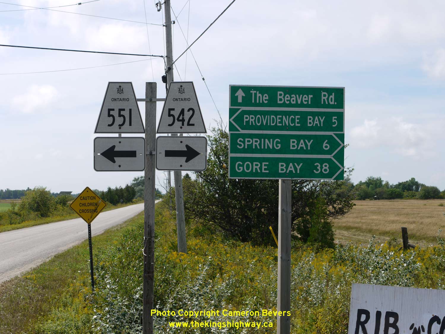
Left - Fingerboard guide signs and junction sign assembly at the Hwy 542 & Hwy 551 South Junction at Dryden's Corners. After sharing an overlapped route
for about 10 km, Hwy 542 & Hwy 551 part ways at Dryden's Corners. Hwy 551 turns left and resumes its route south towards Providence Bay, while Hwy 542 turns
right and continues west towards Gore Bay. See an Enlarged Photo Here. (Photograph taken on August 15, 2016 - © Cameron Bevers) Right - Facing west along Hwy 542 towards Gore Bay from the Hwy 551 South Junction at Dryden's Corners. See an Enlarged Photo Here. (Photograph taken on July 2, 2005 - © Cameron Bevers) 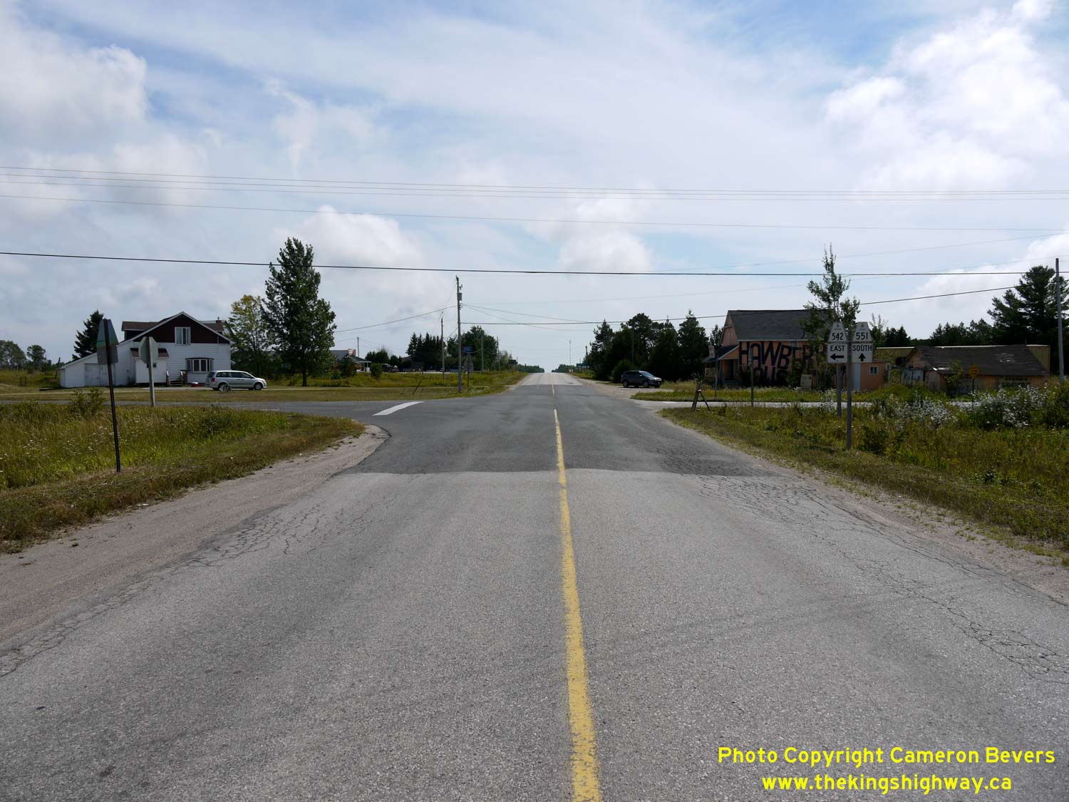
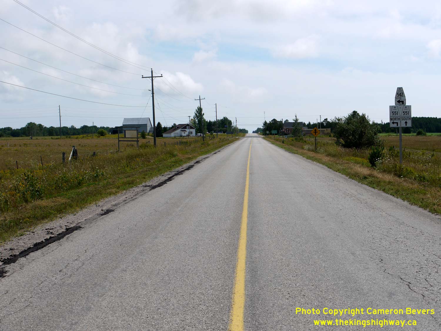
Left - Approaching the Hwy 542 & Hwy 551 South Junction at Dryden's Corners, facing south towards Providence Bay. See an
Enlarged Photo Here. (Photograph taken on August 15, 2016 - © Cameron Bevers) Right - Junction sign assembly on eastbound Hwy 542 approaching the Hwy 551 South Junction at Dryden's Corners. See an Enlarged Photo Here. (Photograph taken on August 15, 2016 - © Cameron Bevers) 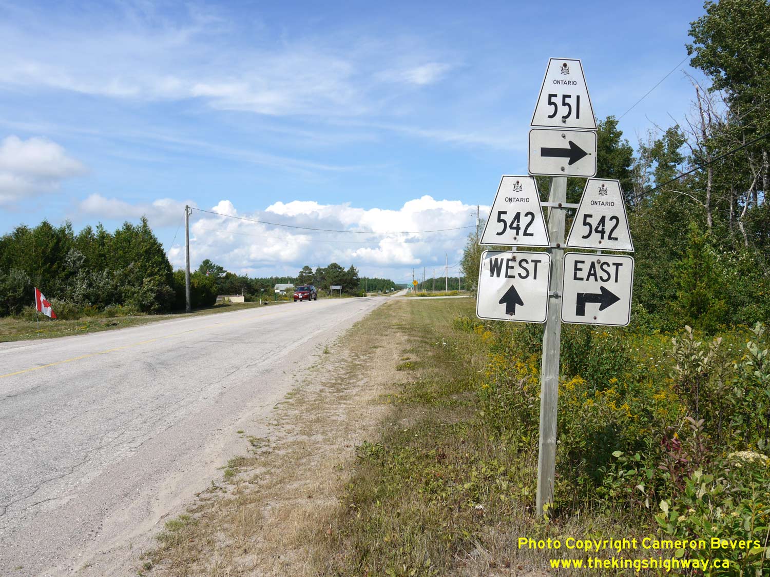
Left - Junction sign assembly on northbound Hwy 551 approaching the Hwy 542 Junction at Dryden's Corners. See an
Enlarged Photo Here. (Photograph taken on August 15, 2016 - © Cameron Bevers) Right - Fingerboard guide signs on northbound Hwy 551 at Dryden's Corners. See an Enlarged Photo Here. (Photograph taken on August 15, 2016 - © Cameron Bevers) 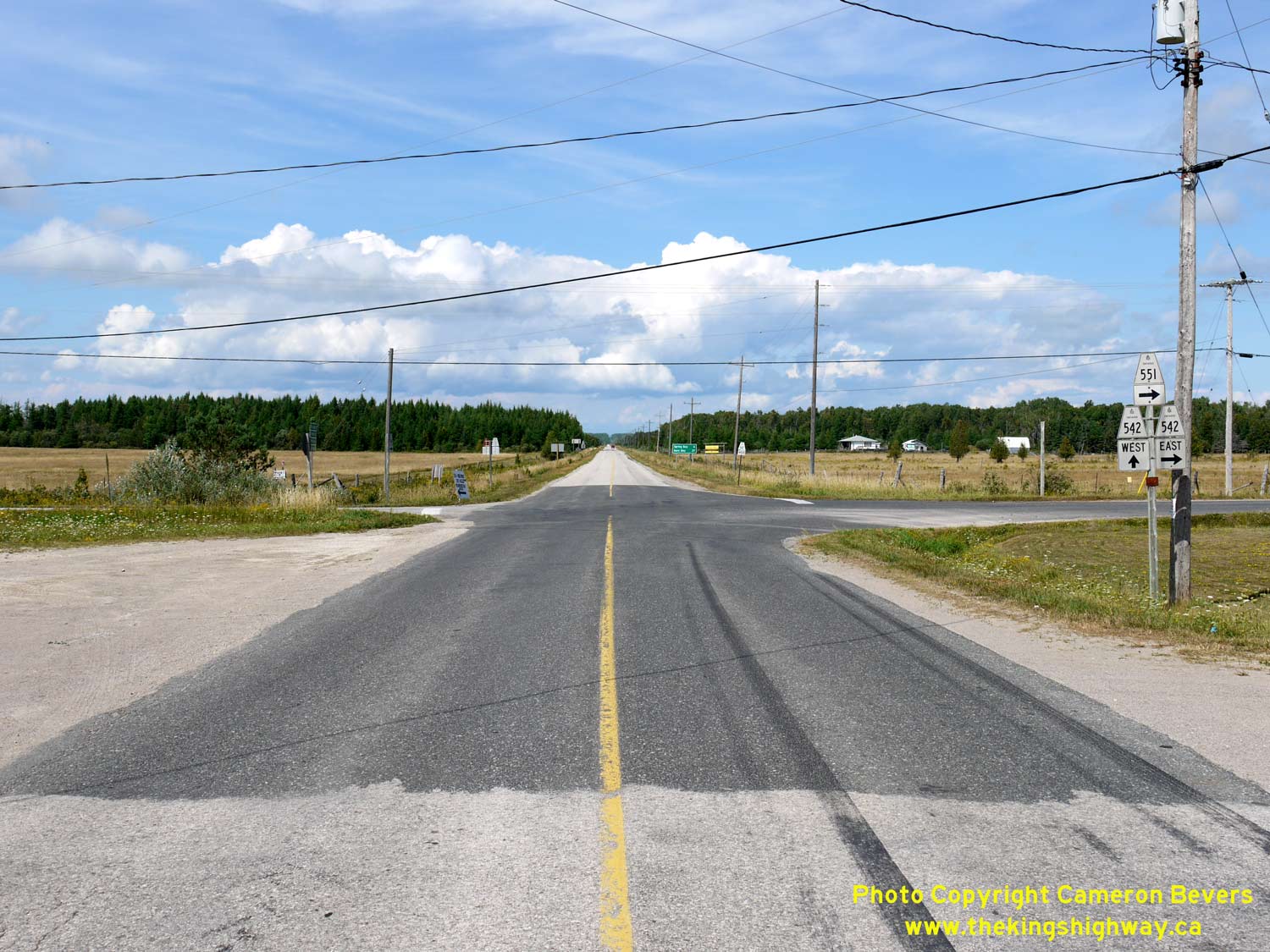
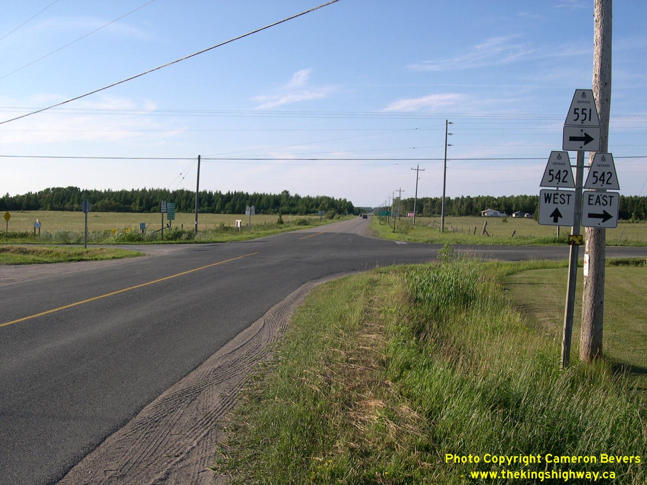
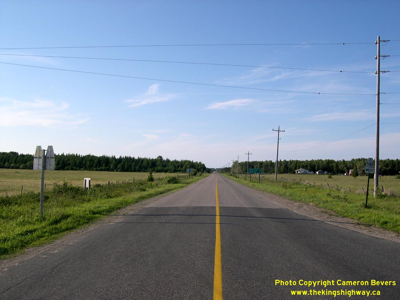
Left - Hwy 542 & Hwy 551 Junction at Dryden's Corners, facing north. From here, traffic can either continue straight ahead towards Spring Bay and Gore Bay
via Hwy 542 West, or turn right and head east via Hwy 542 East & Hwy 551 to Mindemoya. See an
Enlarged Photo Here. (Photograph taken on August 15, 2016 - © Cameron Bevers) Right - Junction sign assembly at the Hwy 542 & Hwy 551 Junction at Dryden's Corners, facing north. See an Enlarged Photo Here. (Photograph taken on July 2, 2005 - © Cameron Bevers) 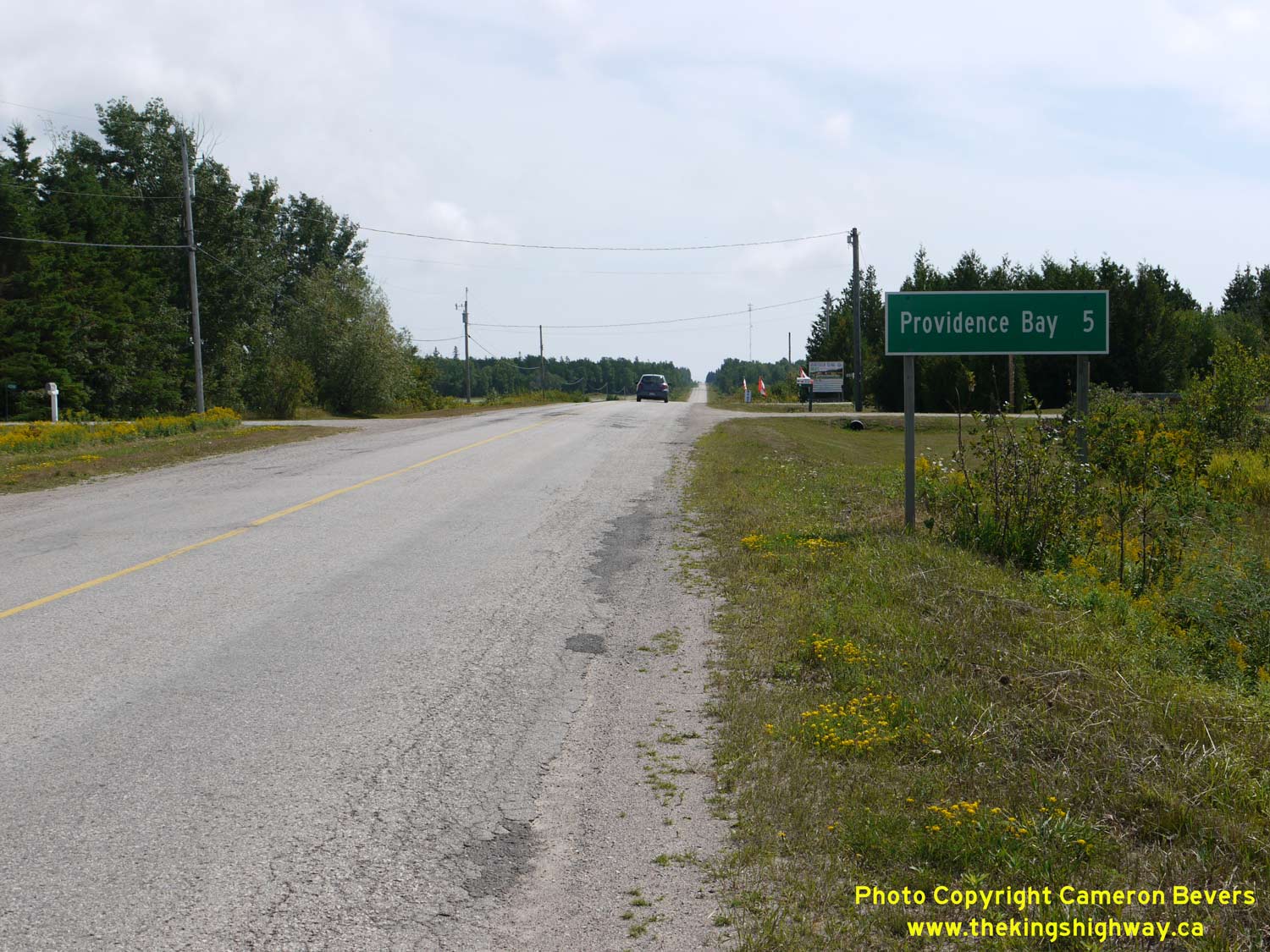
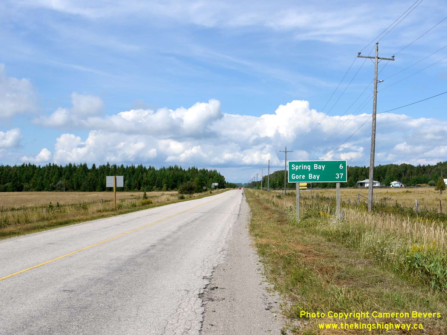
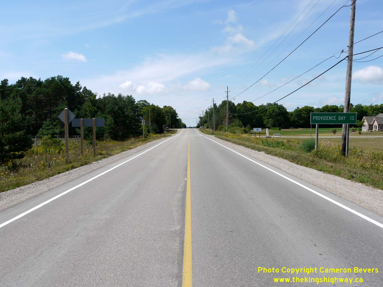
Left - Distance guide sign on southbound Hwy 551 at Dryden's Corners. The highway reaches its southern terminus in Providence Bay, located about 5 km ahead. See
an Enlarged Photo Here. (Photograph taken on August 15, 2016 - © Cameron Bevers) Right - Distance guide sign on westbound Hwy 542 at Dryden's Corners. See an Enlarged Photo Here. (Photograph taken on August 15, 2016 - © Cameron Bevers) 
Above - Route marker on eastbound Hwy 542 near Gore Bay. See an
Enlarged Photo Here. (Photograph taken on July 2, 2005 - © Cameron Bevers) 

Left - Facing east along Hwy 540 from the Hwy 540B & Hwy 542 Junction in Gore Bay. See an
Enlarged Photo here. (Photograph taken on July 2, 2005 - © Cameron Bevers) Right - Junction sign assembly on southbound Hwy 540B approaching the Hwy 540 & Hwy 542 Junction in Gore Bay. Interestingly, Hwy 542 is not indicated on this sign assembly, even though Hwy 540B ends only a few hundred metres to the south. See an Enlarged Photo here. (Photograph taken on July 2, 2005 - © Cameron Bevers) 

Left - Facing west along Hwy 540 at the Hwy 540B & Hwy 542 Junction in Gore Bay. Hwy 542 begins at this intersection at left and heads southeast across
Manitoulin Island to Mindemoya. Ultimately, Hwy 542 connects to Hwy 6 near South Baymouth. Hwy 540 continues straight ahead towards Meldrum Bay, while the eastern leg
of Hwy 540B begins its loop through Gore Bay at right. Hwy 540B connects back to Hwy 540 about 1 km ahead, just west of Gore Bay. See an
Enlarged Photo here. (Photograph taken on July 2, 2005 - © Cameron Bevers) Right - Junction sign assembly at the Hwy 540, Hwy 540B & Hwy 542 Junction in Gore Bay. Hwy 542 reaches its western terminus at this intersection, but the road continues straight ahead into Gore Bay as Hwy 540B. Manitoulin Island's main east-west highway, Hwy 540, is the through highway at this intersection. Hwy 540 connects Little Current to Meldrum Bay. See an Enlarged Photo here. (Photograph taken on July 2, 2005 - © Cameron Bevers) 

Left - Facing north along Hwy 540B from the Hwy 540 & Hwy 542 Junction. Gore Bay's town centre lies about 2 km north of Hwy 540. See an
Enlarged Photo here. (Photograph taken on July 2, 2005 - © Cameron Bevers) Right - Junction sign assembly on westbound Hwy 542 approaching the Hwy 540 & Hwy 540B Junction in Gore Bay. See an Enlarged Photo here. (Photograph taken on July 2, 2005 - © Cameron Bevers) 

Left - Junction sign assembly at the Hwy 540, Hwy 540B & Hwy 542 Junction in Gore Bay, facing southbound traffic. See an
Enlarged Photo here. (Photograph taken on July 2, 2005 - © Cameron Bevers) Right - Approaching the Hwy 540, Hwy 540B & Hwy 542 Junction in Gore Bay, facing east towards Little Current. See an Enlarged Photo here. (Photograph taken on July 2, 2005 - © Cameron Bevers)
More Secondary Highway 542 Photographs Coming Soon!
|
|---|
Links to Adjacent Highway Photograph Pages:
Back to Secondary Highway 541 Photos /
Secondary Highway 542 History /
On to Secondary Highway 544 Photos
Ontario Highway History - Main Menu / Back to List of Highways / Main Photograph Index Page Website contents, photos & text © 2002-2026, Cameron
Bevers (Webmaster) - All Rights Reserved / Contact Me
|
|---|