
| 
| |
|
|
This page contains present day photos (Year 2000 to date) of Ontario's King's Highway 61, arranged by location from the
Canada-United States Boundary at Pigeon River northerly to Thunder Bay. All photographs displayed on this page were taken by the Webmaster (Cameron Bevers), unless
specifically noted otherwise. Click on any thumbnail to see a larger image!
Please note that all photographs displayed on this
website are protected by copyright. These photographs must not be reproduced, published,
electronically stored or copied, distributed, or posted onto other websites without
my written permission. If you want to use photos from this website, please
email me first for permission. Thank-you!
|
|---|
|
Page 2: Present Day King's Highway 61 Photographs

Left - This is the former site of the Pigeon River Border Crossing, located about 10 km west of the present Pigeon River Bridge. Up until the early 1960s,
King's Highway 61 crossed over into Minnesota, where it became U.S. Route 61. Old U.S. Route 61 can be seen climbing the hill on the Minnesota side of the Pigeon
River. The border crossing was abandoned once the new crossing opened in 1963, and most of the buildings were subsequently demolished. Compare this present day photo
with this Circa 1945 Photo of the same area. See an
Enlarged Photo Here. (Photograph taken on August 28, 2003 - © Cameron Bevers) Right - Looking north on Old Hwy 61, from site of former International Bridge. The site of the former Customs House and parking area can be seen to the left of this photo. See an Enlarged Photo Here. (Photograph taken on August 28, 2003 - © Cameron Bevers) 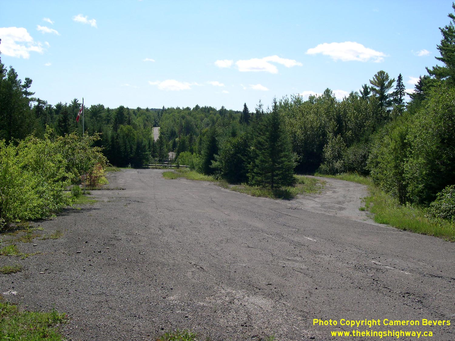
Left - Close-up of the abandoned border crossing on Old Hwy 61 at Pigeon River. See an
Enlarged Photo Here. (Photograph taken on August 28, 2003 - © Cameron Bevers) Right - Site of the old International Bridge at Pigeon River. The bridge was closed permanently in 1963 when a new bridge was opened further downstream. See an Enlarged Photo Here. (Photograph taken on August 28, 2003 - © Cameron Bevers) 
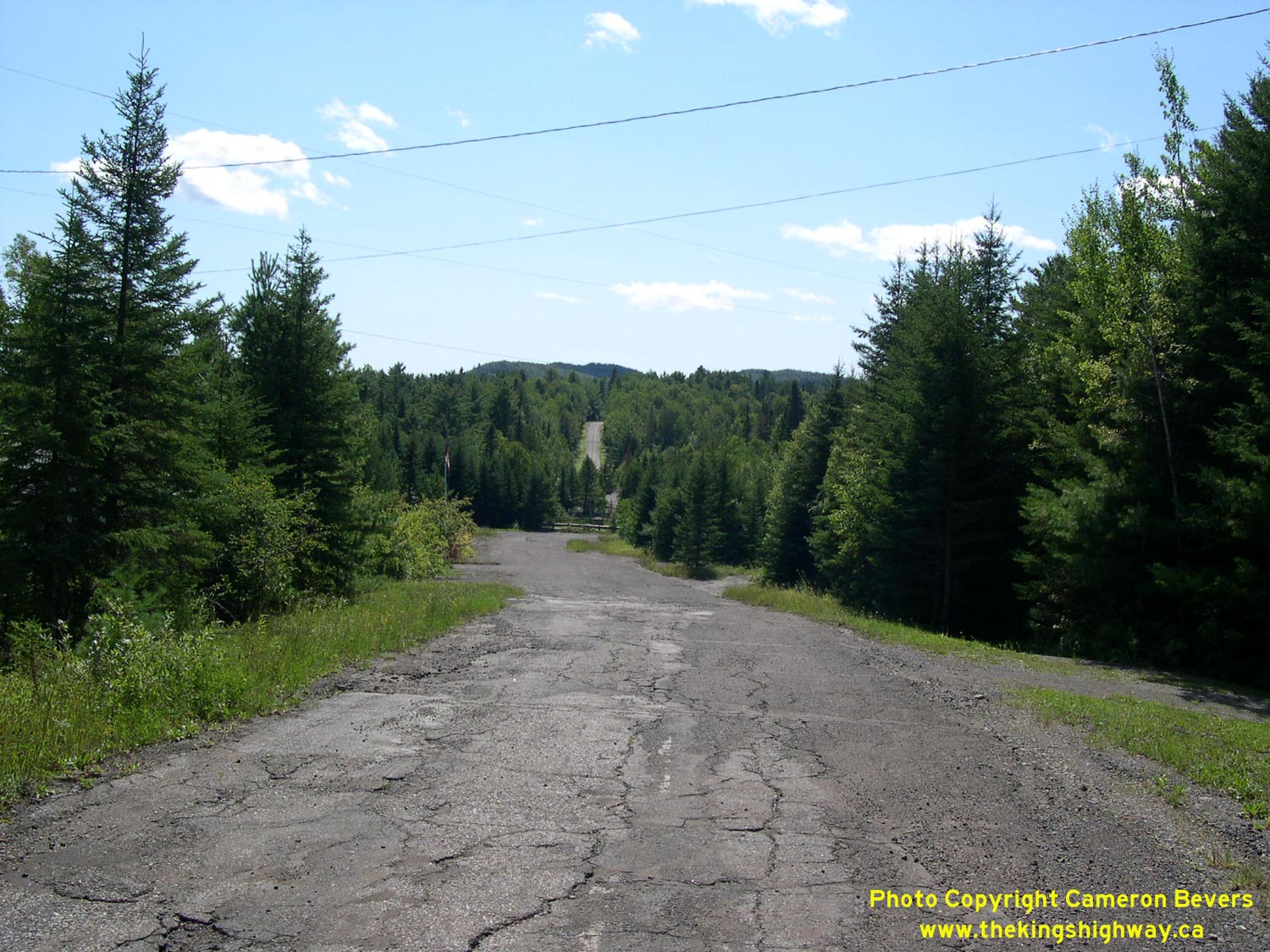
Left - Old Hwy 61 alignment leading north towards Thunder Bay from the former bridge site at Pigeon River. See an
Enlarged Photo Here. (Photograph taken on August 2001 - © Cameron Bevers) Right - Close-up of the old bridge abutments at Pigeon River from the Ontario side. The other side of the gorge is located in Minnesota. See an Enlarged Photo Here. (Photograph taken on August 2001 - © Cameron Bevers) 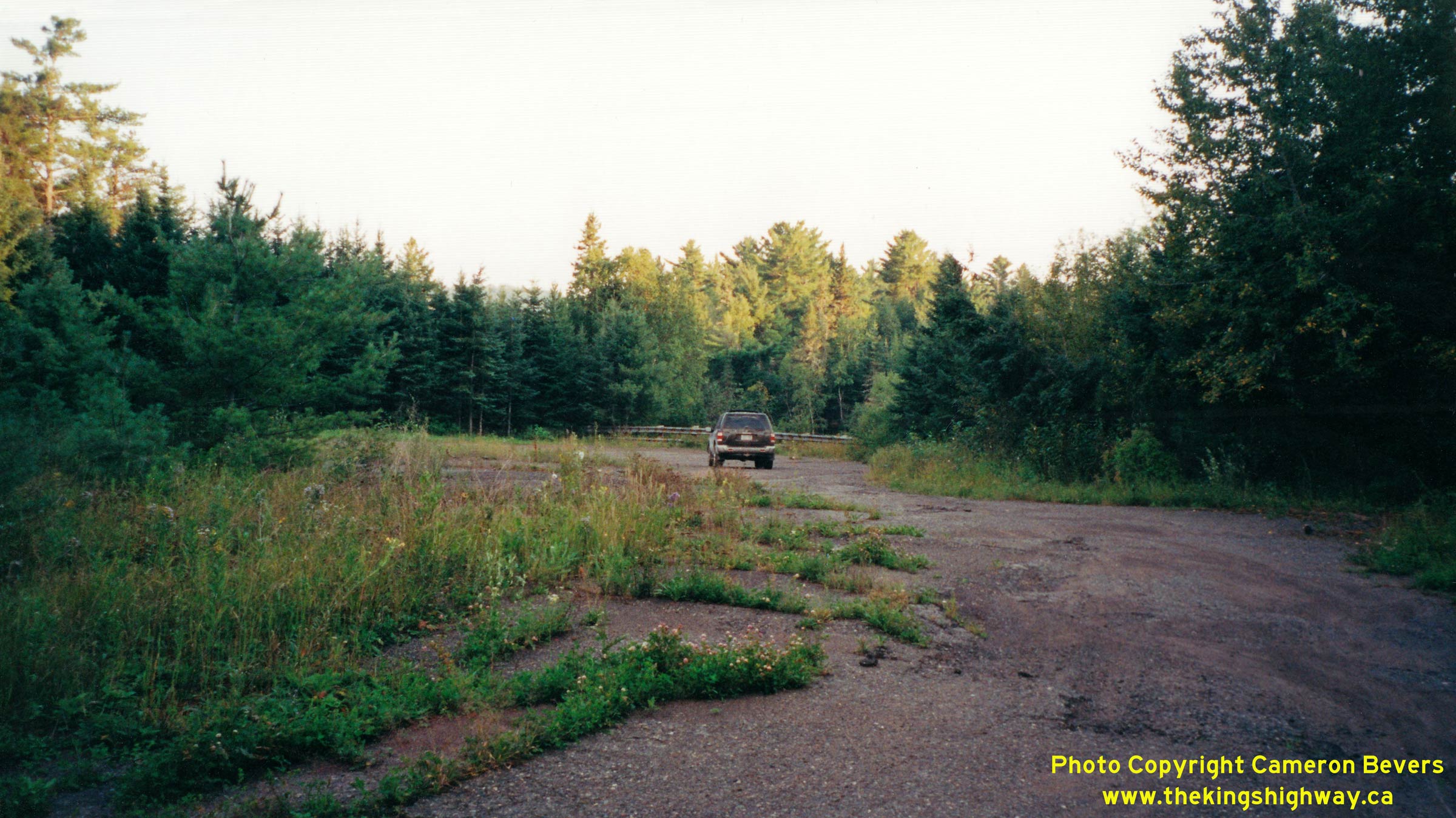
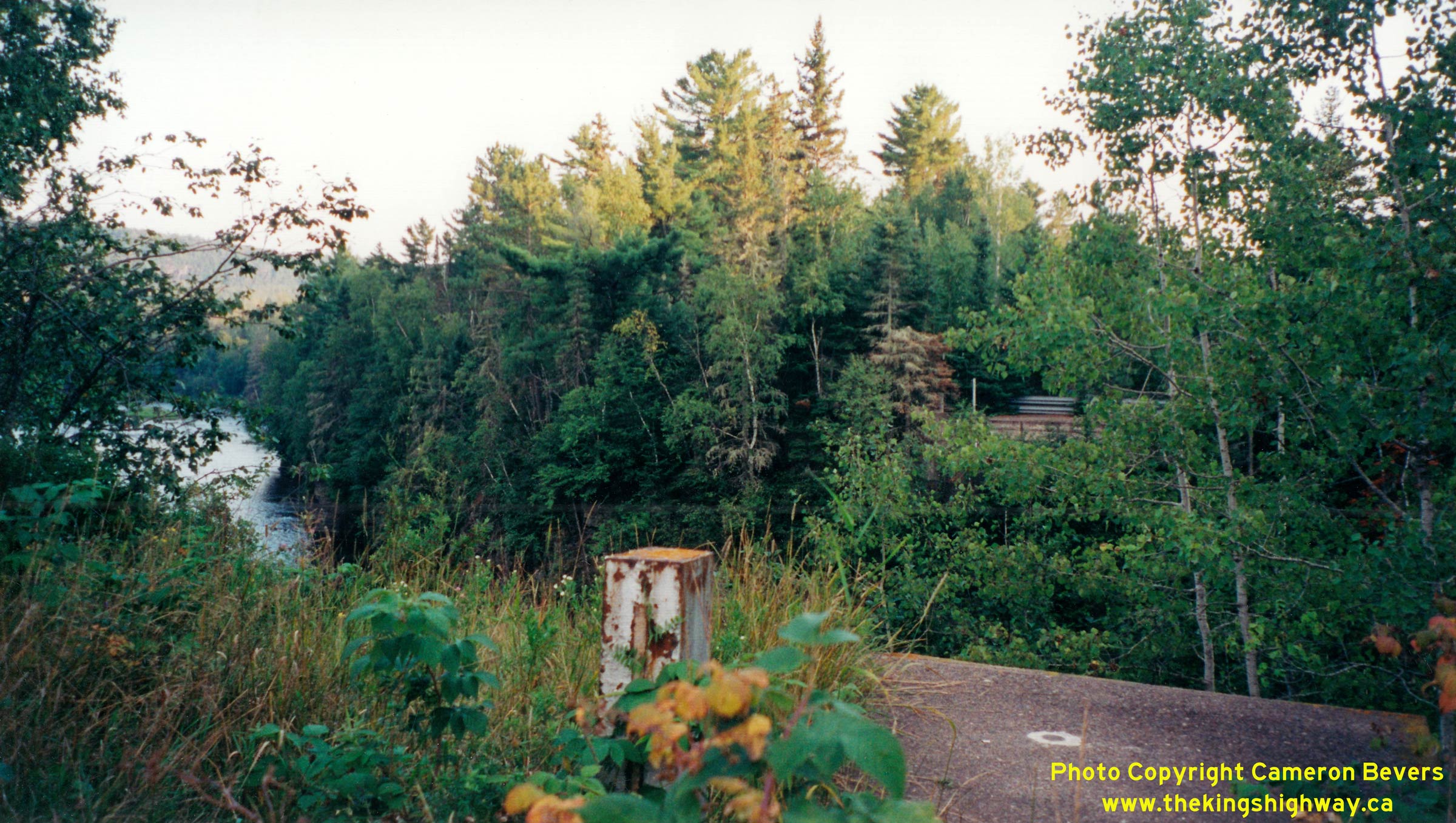
Above - Former site of the white Pigeon River Customs House, as seen in this
Circa 1960 Photo. See an
Enlarged Photo Here. (Photograph taken on August 2001 - © Cameron Bevers) 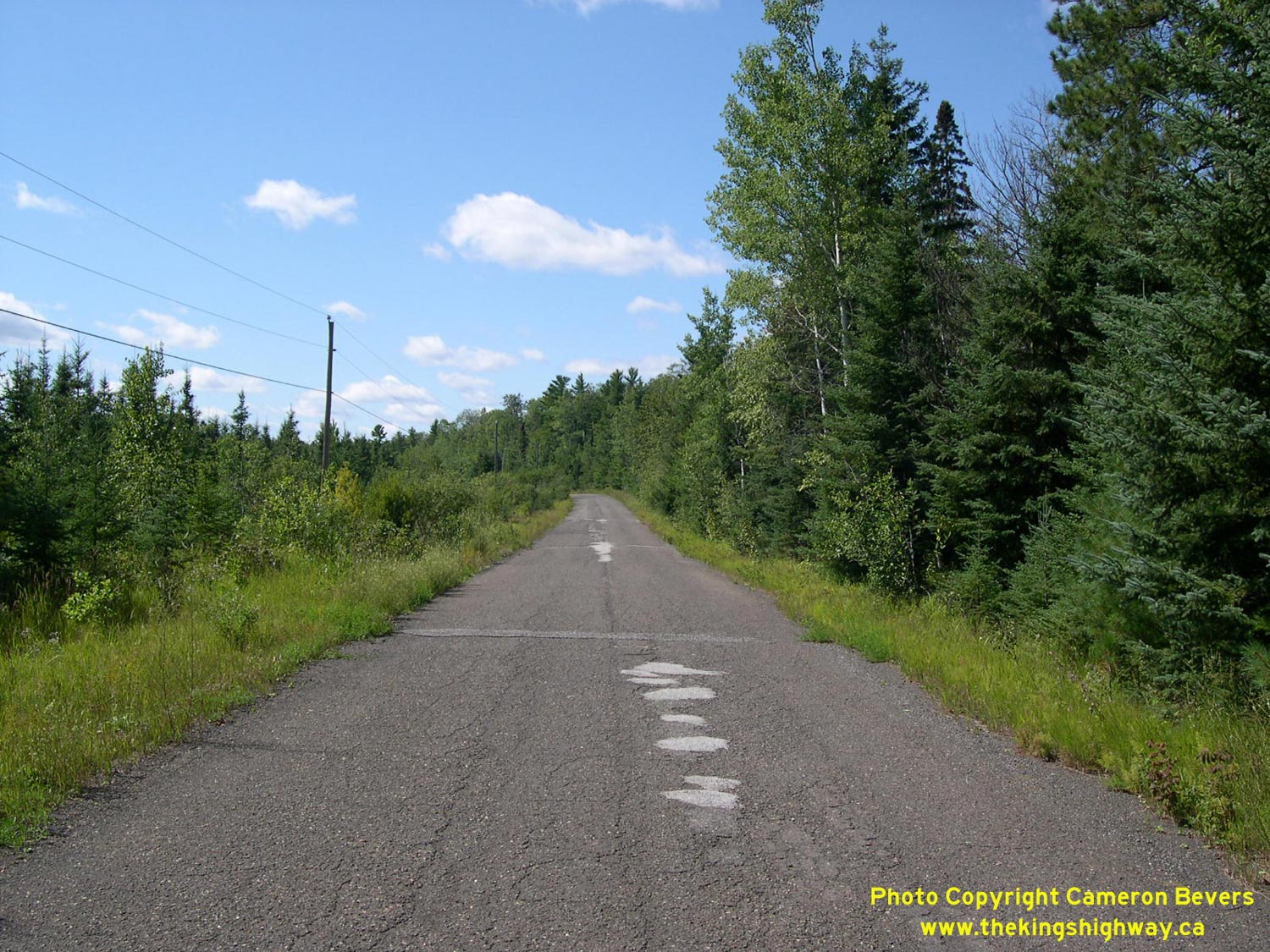
Left - Old Hwy 61 alignment near former bridge at Pigeon River, just south of Hwy 593. See an
Enlarged Photo Here. (Photograph taken on August 28, 2003 - © Cameron Bevers) Right - Present day customs area on Hwy 61 at Pigeon River. The new border crossing facility at Pigeon River opened on November 1, 1963. See an Enlarged Photo Here. (Photograph taken on August 28, 2003 - © Cameron Bevers) 
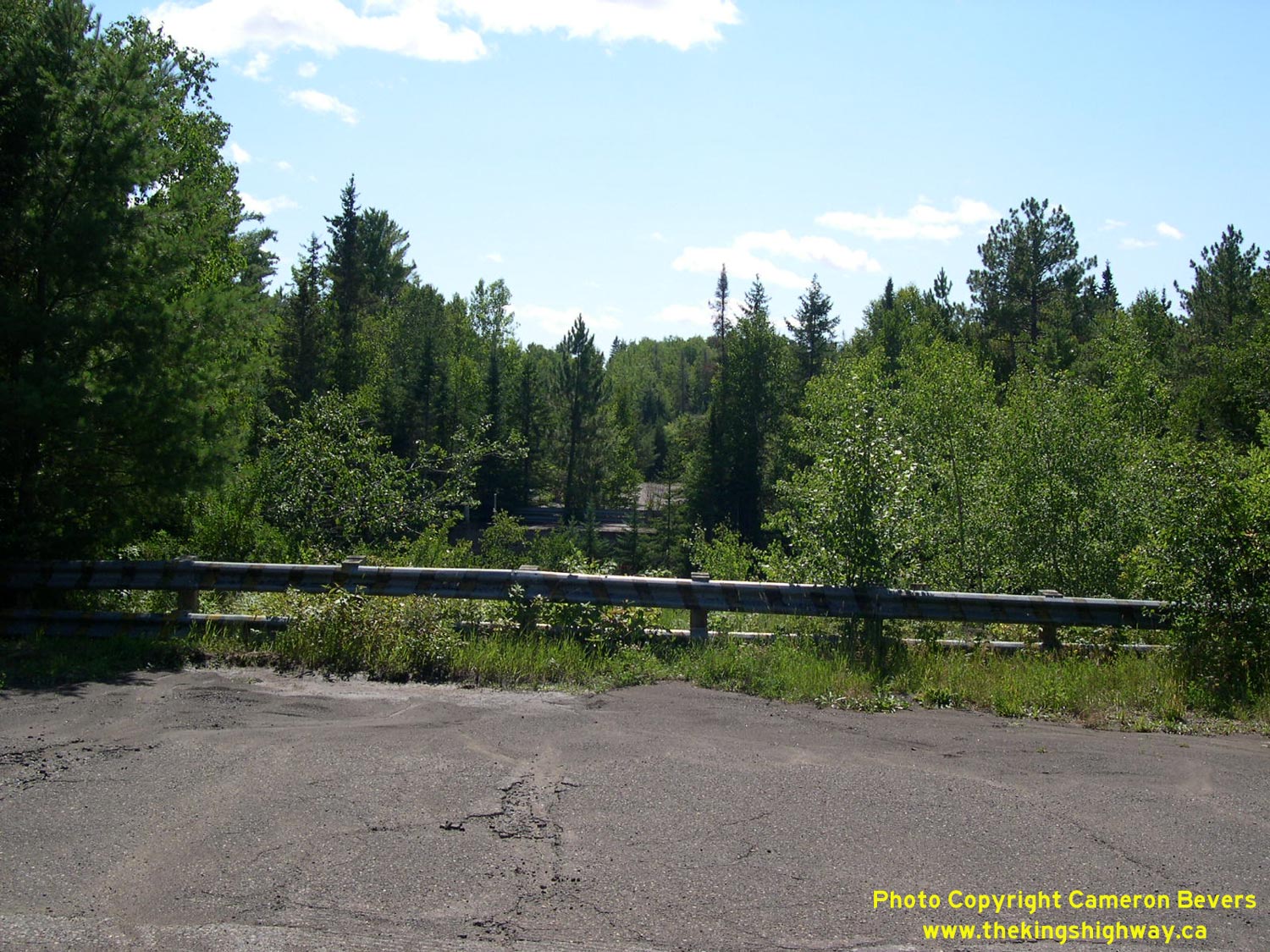
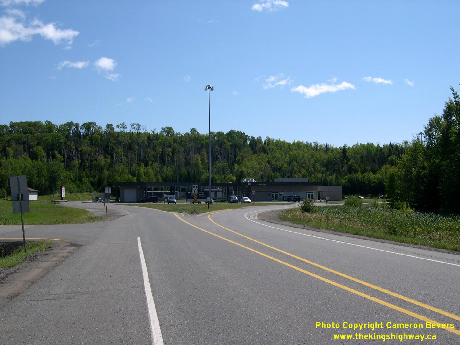
Left - Start of King's Highway 61 just north of the current Pigeon River Bridge & Customs Office. See an
Enlarged Photo Here. (Photograph taken on August 28, 2003 - © Cameron Bevers) Right - Abandoned Hwy 61 alignment at the Hwy 593 Junction. Roughly 13 km of the original Hwy 61 route was bypassed in 1963, when the new Pigeon River Bridge opened further downstream. Part of Old Hwy 61 subsequently became a part of Hwy 593. See an Enlarged Photo Here. (Photograph taken on August 28, 2003 - © Cameron Bevers) 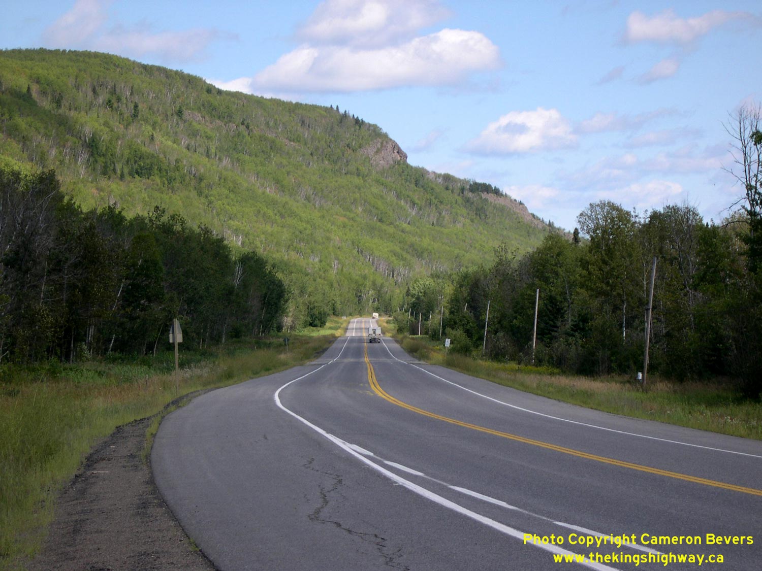
Left - Traffic on Hwy 61 is dwarfed by the mountains north of Pigeon River. See an
Enlarged Photo Here. (Photograph taken on August 28, 2003 - © Cameron Bevers) Right - A reverse curve on Hwy 61 located about 12 km north of the Hwy 593 Junction near the Pine River Bridge. See an Enlarged Photo Here. (Photograph taken on August 30, 2006 - © Cameron Bevers) 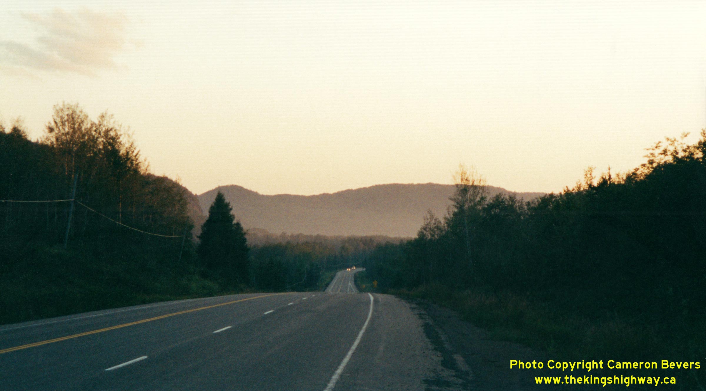
Above - Dusk on Hwy 61 near Cloud Bay, about 10 km north of the Hwy 593 Junction. See an
Enlarged Photo Here. (Photograph taken on August 2001 - © Cameron Bevers) 
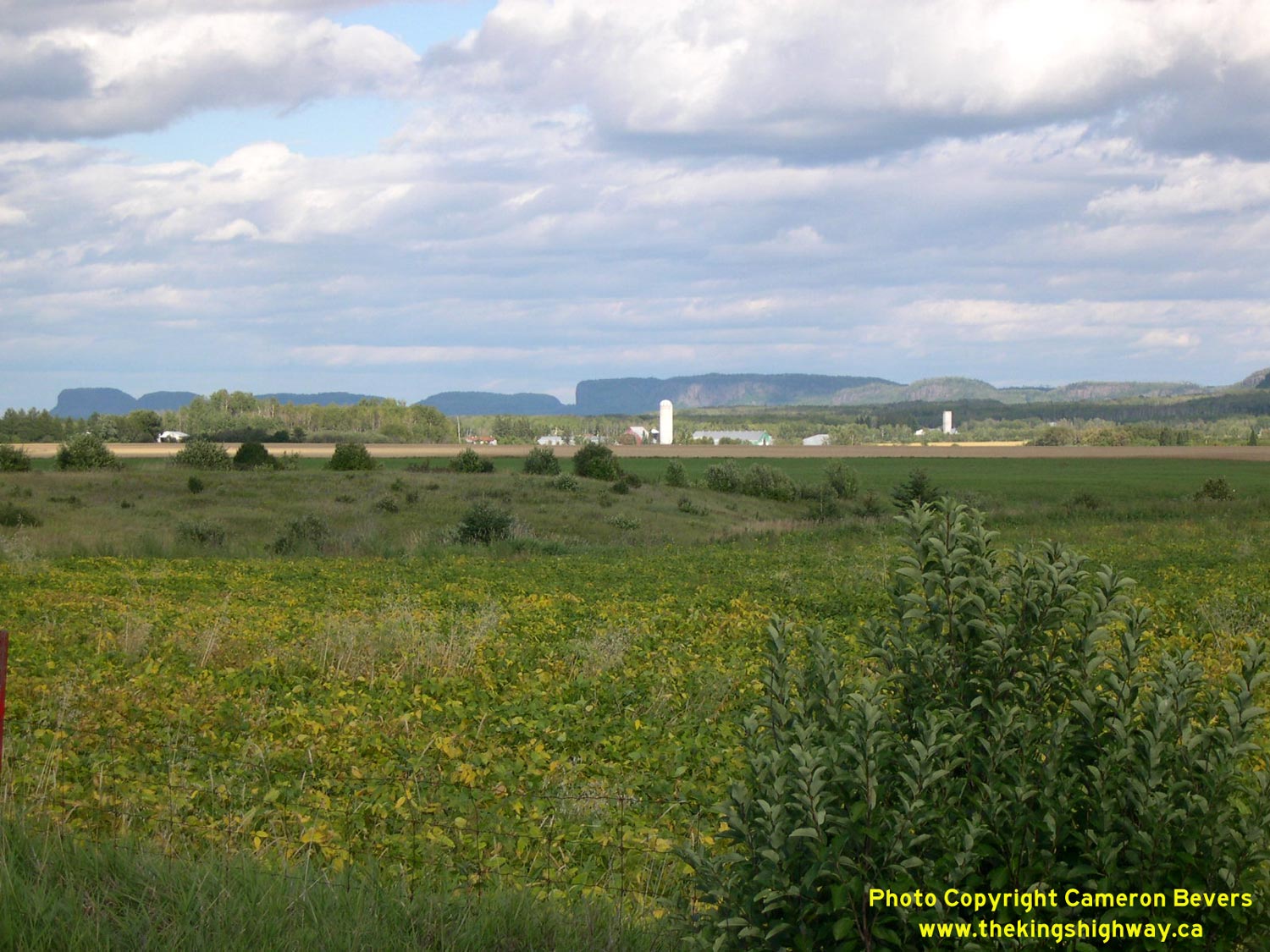
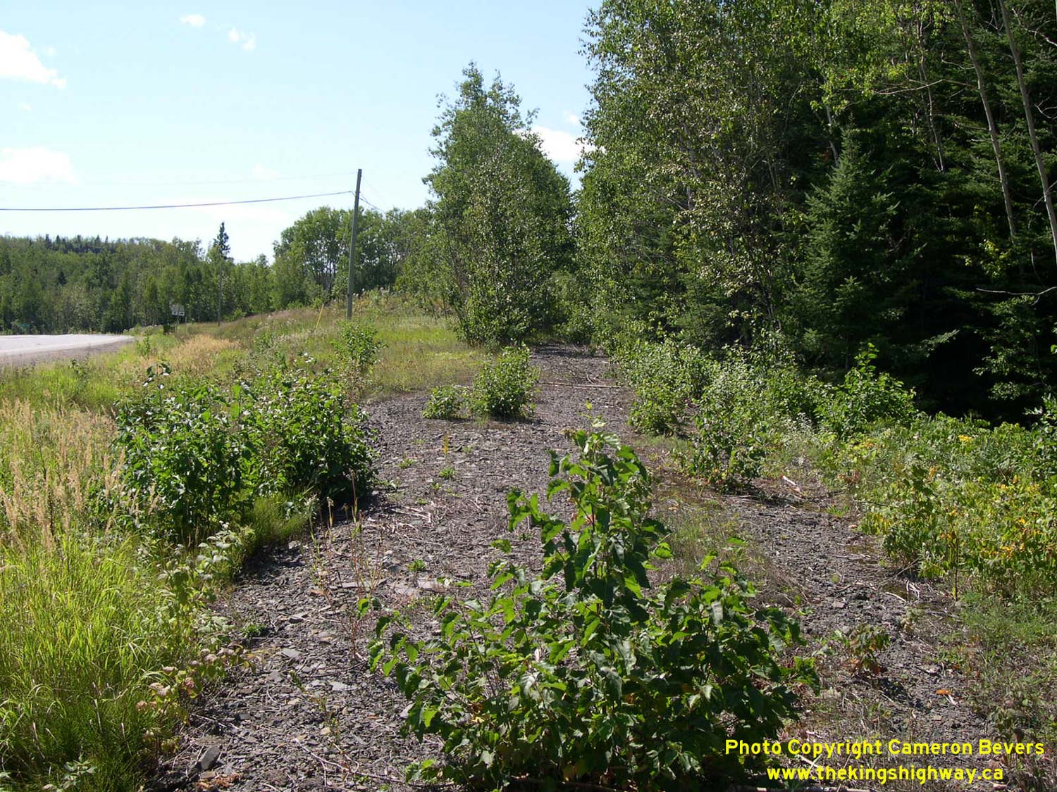
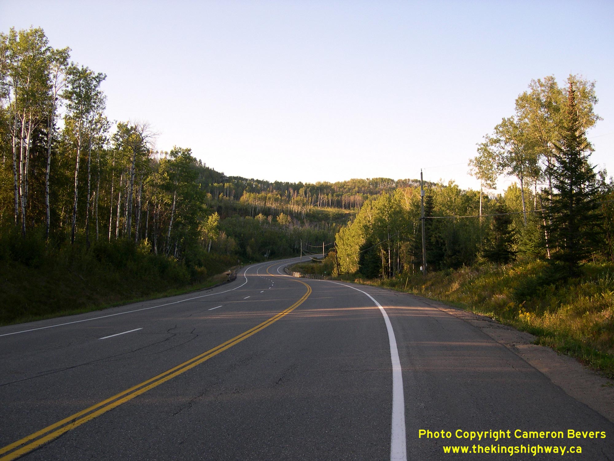
Left - A former alignment of Hwy 61 (now known as Spruce Drive) south of the Hwy 130 Junction. See an
Enlarged Photo Here. (Photograph taken on August 28, 2003 - © Cameron Bevers) Right - View of Mount McKay and "The Nor'Westers" from Hwy 61, about 2 km south of the Hwy 130 Junction. See an Enlarged Photo Here. (Photograph taken on August 28, 2003 - © Cameron Bevers) 

Left - Facing north along Hwy 130 from the Hwy 61 Junction southwest of Thunder Bay. This short highway forms a cut-off route between Hwy 61 and Hwy 11 &
Hwy 17 near Thunder Bay, via Rosslyn. See an Enlarged Photo Here. (Photograph taken on August 30, 2006 - © Cameron Bevers) Right - Green guide sign for Hwy 130 on northbound Hwy 61. See an Enlarged Photo Here. (Photograph taken on August 30, 2006 - © Cameron Bevers) 

Left - Facing south along Hwy 61 towards Pigeon River from the Hwy 130 Junction. See an
Enlarged Photo Here. (Photograph taken on August 30, 2006 - © Cameron Bevers) Right - Facing north along Hwy 61 towards the Hwy 130 Junction. See an Enlarged Photo Here. (Photograph taken on August 30, 2006 - © Cameron Bevers) 


Left - Junction sign for Hwy 61 on Hwy 130 southwest of Thunder Bay. See an
Enlarged Photo Here. (Photograph taken on August 30, 2006 - © Cameron Bevers) Centre - Junction assembly approaching the Hwy 61 on southbound Hwy 130. See an Enlarged Photo Here. (Photograph taken on September 2, 2011 - © Cameron Bevers) Right - Junction signs at the end of Hwy 130 at Hwy 61. The control city on Hwy 61 south of Thunder Bay is Duluth, Minnesota. What this sign doesn't tell you is that it is a very lonely 280 km journey to Duluth from here. Duluth is the most distant out-of-province control city signed by the MTO. In fact, Duluth is the only sizeable town or city on either Ontario Hwy 61 or Minnesota Hwy 61, apart from Thunder Bay located at the highway's northern terminus. See an Enlarged Photo Here. (Photograph taken on August 30, 2006 - © Cameron Bevers) 

Left - Facing north along Hwy 61 towards Thunder Bay from the Hwy 130 Junction. See an
Enlarged Photo Here. (Photograph taken on September 2, 2011 - © Cameron Bevers) Right - Approaching the Hwy 130 Junction on southbound Hwy 61, southwest of Thunder Bay. See an Enlarged Photo Here. (Photograph taken on September 2, 2011 - © Cameron Bevers) 

Left - Facing south along Hwy 61 towards Pigeon River at the Hwy 130 Junction. This is the last major highway junction on Hwy 61 before the highway crosses
into Minnesota at Pigeon River. Only two other minor Secondary Highways (Hwy 608 and Hwy 593) intersect with Hwy 61 south of the Hwy 130 Junction. See an
Enlarged Photo Here. (Photograph taken on September 2, 2011 - © Cameron Bevers) Right - Approaching the southern terminus of Hwy 130 at the Hwy 61 Junction southwest of Thunder Bay. See an Enlarged Photo Here. (Photograph taken on September 2, 2011 - © Cameron Bevers) 

Left - Facing south along Hwy 61 towards Pigeon River near the Hwy 61B Junction (Chippewa Road) south of Thunder Bay. Approximately 53 km south of here, Hwy 61
reaches the International Boundary at Pigeon River where the highway crosses over into the United States. Pigeon River is the only highway crossing between Canada and
the United States in the Thunder Bay area. The next closest highway crossing between Canada and the United States lies approximately 350 km to the west, where the
International Bridge connects Fort Frances, Ontario with International Falls, Minnesota. The next highway crossing to the east lies at the other end of Lake Superior
at Sault Ste. Marie, approximately 700 km away. See an Enlarged Photo Here. (Photograph taken on September 1, 2011 - © Cameron Bevers) Right - Distance guide sign for Duluth, Minnesota on southbound Hwy 61 at the Hwy 61B Junction. Although it is unusual to see an out-of-province destination signed on a provincial highway, Duluth was chosen as the control city since there are no other communities of any size along Hwy 61 between Thunder Bay and the International Boundary at the Pigeon River. See an Enlarged Photo Here. (Photograph taken on September 1, 2011 - © Cameron Bevers) 

Left - Facing north along Hwy 61 towards the Hwy 61B Junction (Chippewa Road) south of Thunder Bay. Until the construction of the Lakehead Expressway in the
late 1960s, Hwy 61 used to follow Chippewa Road into Downtown Fort William. The Lakehead Expressway bypassed the cities of Fort William and Port Arthur and provided
a more direct connection between Hwy 61 and Hwy 11 & Hwy 17. The route of Hwy 61 was then moved onto the Lakehead Expressway (later known as the Thunder Bay
Expressway) while the original route of Hwy 61 leading into Downtown via Chippewa Road was renumbered as Hwy 61B. See an
Enlarged Photo Here. (Photograph taken on September 1, 2011 - © Cameron Bevers) Right - Southern terminus of Hwy 61B at the Hwy 61 Junction south of Thunder Bay. A small right turn channelization carries traffic from southbound Hwy 61B to northbound Hwy 61 (Thunder Bay Expressway). A much larger right turn channelization carries traffic from northbound Hwy 61 to northbound Hwy 61B. See an Enlarged Photo Here. (Photograph taken on September 1, 2011 - © Cameron Bevers) 

Left - Facing south along Hwy 61 from the Hwy 61B Junction (Chippewa Road) south of Thunder Bay. The channelization leading from northbound Hwy 61 to
northbound Hwy 61B can be seen at left. The channelization was actually built on the original alignment of Hwy 61 in the 1960s, during construction of the Lakehead
Expressway. See an Enlarged Photo Here. (Photograph taken on September 1, 2011 - © Cameron Bevers) Right - Junction of Hwy 61 & Hwy 61B, facing north towards Thunder Bay. Until the completion of the Lakehead Expressway at the Kaministiquia River in 1968, all Hwy 61 traffic would have curved to the right towards Fort William. A short median island was constructed approaching the intersection. See an Enlarged Photo Here. (Photograph taken on September 1, 2011 - © Cameron Bevers) 

Left - Start of Hwy 61B at the Hwy 61 Junction south of Thunder Bay. Due to the skew of the intersection, a wide median had to be constructed here to keep
the swept path of long transport truck trailers within their own lane when turning left. It is interesting to note that traffic using the right turn channelization
actually has right-of-way priority over the northbound "through" lane. Note the Yield signs on both sides of the northbound lane where it merges with the right turn
channelization. Although this is rather strange right-of-way assignment, the skew of the intersection doesn't really allow the right-of-way to be configured any other
way. The channelization is tangent to Hwy 61B, so there would be a very low likelihood of drivers yielding if the right-of-way was reversed to favour the through
lane. See an Enlarged Photo Here. (Photograph taken on September 1, 2011 - © Cameron Bevers) Right - Junction of Hwy 61 & Hwy 61B, facing south towards Pigeon River. A narrow median island was also constructed on the northern side of the intersection. See an Enlarged Photo Here. (Photograph taken on September 1, 2011 - © Cameron Bevers) 

Left - Facing north along Hwy 61 from the Hwy 61B Junction (Chippewa Road). The Thunder Bay Expressway begins here and continues north through the City of
Thunder Bay. This limited-access highway has occasional grade-separated crossings and several at-grade intersections controlled by traffic signals. See an
Enlarged Photo Here. (Photograph taken on September 1, 2011 - © Cameron Bevers) Right - Approaching the southern terminus of Hwy 61B at the Hwy 61 Junction. The skew of the intersection is rather apparent in this photo. When the Lakehead Expressway was built, the intersection was realigned slightly so that Hwy 61B intersected with Hwy 61 at more or less a right angle. The long channelization at left essentially follows the original alignment of Hwy 61, which existed prior to the construction of the Lakehead Expressway in the 1960s. See an Enlarged Photo Here. (Photograph taken on September 1, 2011 - © Cameron Bevers) 
Above - Thunder Bay Expressway (Hwy 61) facing south towards the Kaministiquia River Bridge. See an
Enlarged Photo Here. (Photograph taken on August 28, 2003 - © Cameron Bevers)
More King's Highway 61 Photographs Coming Soon!
|
|---|
Links to Adjacent King's Highway Photograph Pages:
Back to King's Highway 60 Photos /
King's Highway 61 History /
On to King's Highway 62 Photos
Ontario Highway History - Main Menu / Back to List of Highways Website contents, photos & text © 2002-2026, Cameron
Bevers (Webmaster) - All Rights Reserved / Contact Me
|
|---|