| 
| |
|
|
|---|
|
Please note that all photographs displayed on this
website are protected by copyright. These photographs must not be reproduced, published,
electronically stored or copied, distributed, or posted onto other websites without
my written permission. If you want to use photos from this website, please
email me first for permission. Thank-you!
|
|---|
|
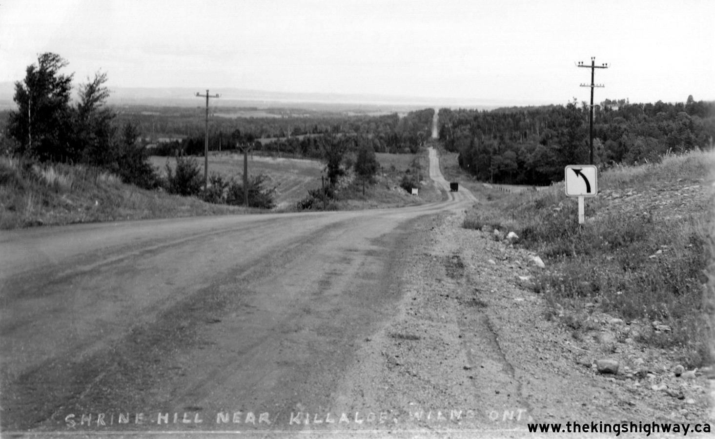
King's Highway 60 Photographs
|
|---|
Links to Adjacent King's Highway Photograph Pages
Back to King's Highway 59 Photos /
King's Highway 60 History /
On to King's Highway 61 Photos
Ontario Highway History - Main Menu / Main Photograph Index Page / Back to List of Highways Website contents, photos & text © 2002-2026, Cameron
Bevers (Webmaster) - All Rights Reserved / Contact Me
|
|---|