
| 
| |
|
|
This page contains present day photos (Year 2000 to date) of Ontario's King's Highway 6, arranged by location from South
Baymouth northerly to Manitowaning. All photographs displayed on this page were taken by the Webmaster (Cameron Bevers), unless specifically noted otherwise. Click
on any thumbnail to see a larger image!
Please note that all photographs displayed on this
website are protected by copyright. These photographs must not be reproduced, published,
electronically stored or copied, distributed, or posted onto other websites without
my written permission. If you want to use photos from this website, please
email me first for permission. Thank-you!
|
|---|
|
Page 15: Present Day King's Highway 6 Photographs (South Baymouth to Manitowaning)
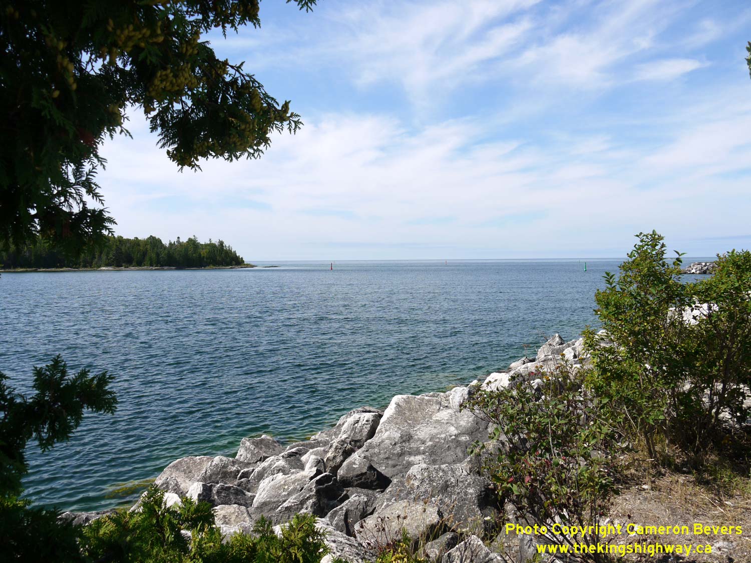
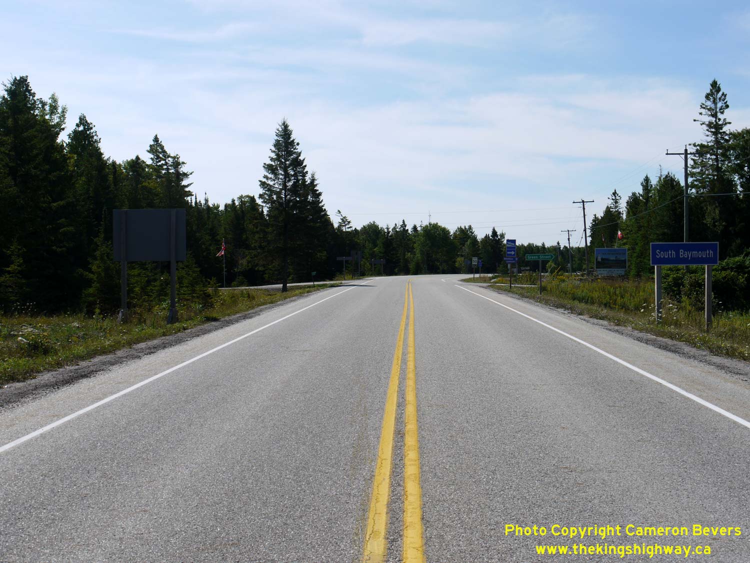
Left - View of South Baymouth from Hwy 6. A seasonal ferry connects South Baymouth on Manitoulin Island with Tobermory on the Bruce Peninsula. See an
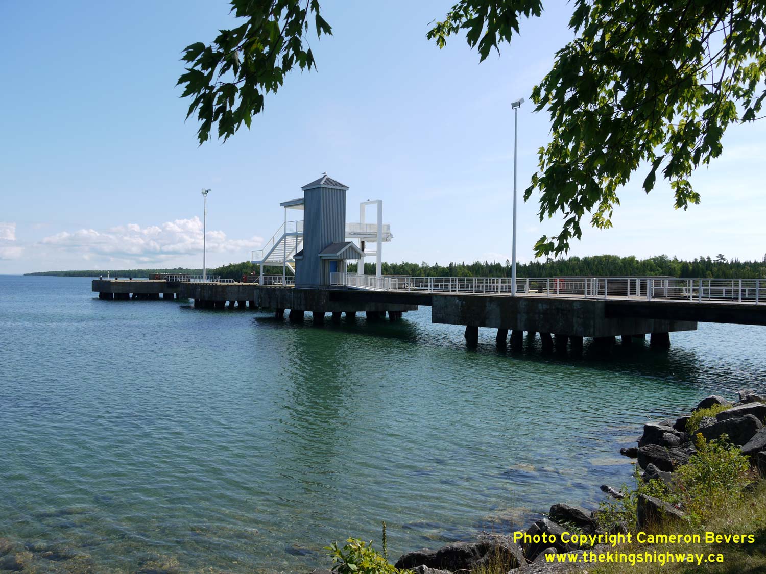
Enlarged Photo Here. (Photograph taken on August 15, 2016 - © Cameron Bevers) Right - The South Baymouth Ferry Dock is situated in a protected harbour on Manitoulin Island's south shore. See an Enlarged Photo Here. (Photograph taken on August 15, 2016 - © Cameron Bevers) 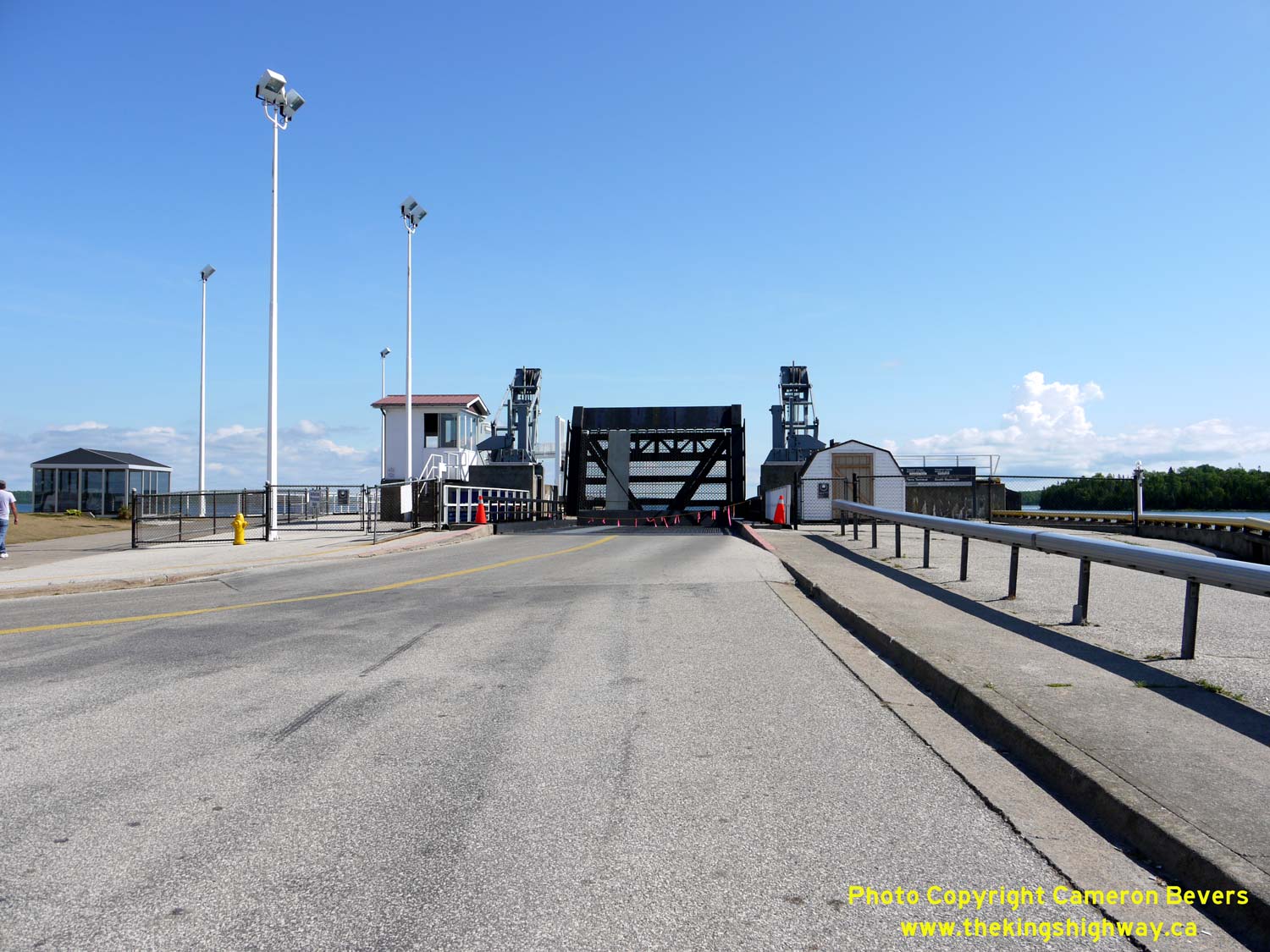
Left - The ferry ramp is hoisted up whenever the ferry is not moored at the dock. The ferry crossing time between South Baymouth and Tobermory is about 1
hour and 45 minutes. The ferry service runs seasonally from May to October. See an
Enlarged Photo Here. (Photograph taken on August 15, 2016 - © Cameron Bevers) Right - View of the ferry staging area at South Baymouth. See an Enlarged Photo Here. (Photograph taken on August 15, 2016 - © Cameron Bevers) 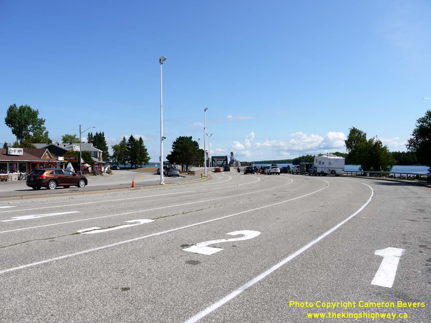
Left - There are a total of six queue lanes for traffic awaiting the ferry's arrival at South Baymouth. This photo was taken shortly after the ferry's
departure, so the queue lanes were practically empty. The ferry between South Baymouth and Tobermory provides one of only two access routes to Manitoulin Island. The
other crossing is at Little Current, where an opening bridge connects Hwy 6 back to the mainland. See an
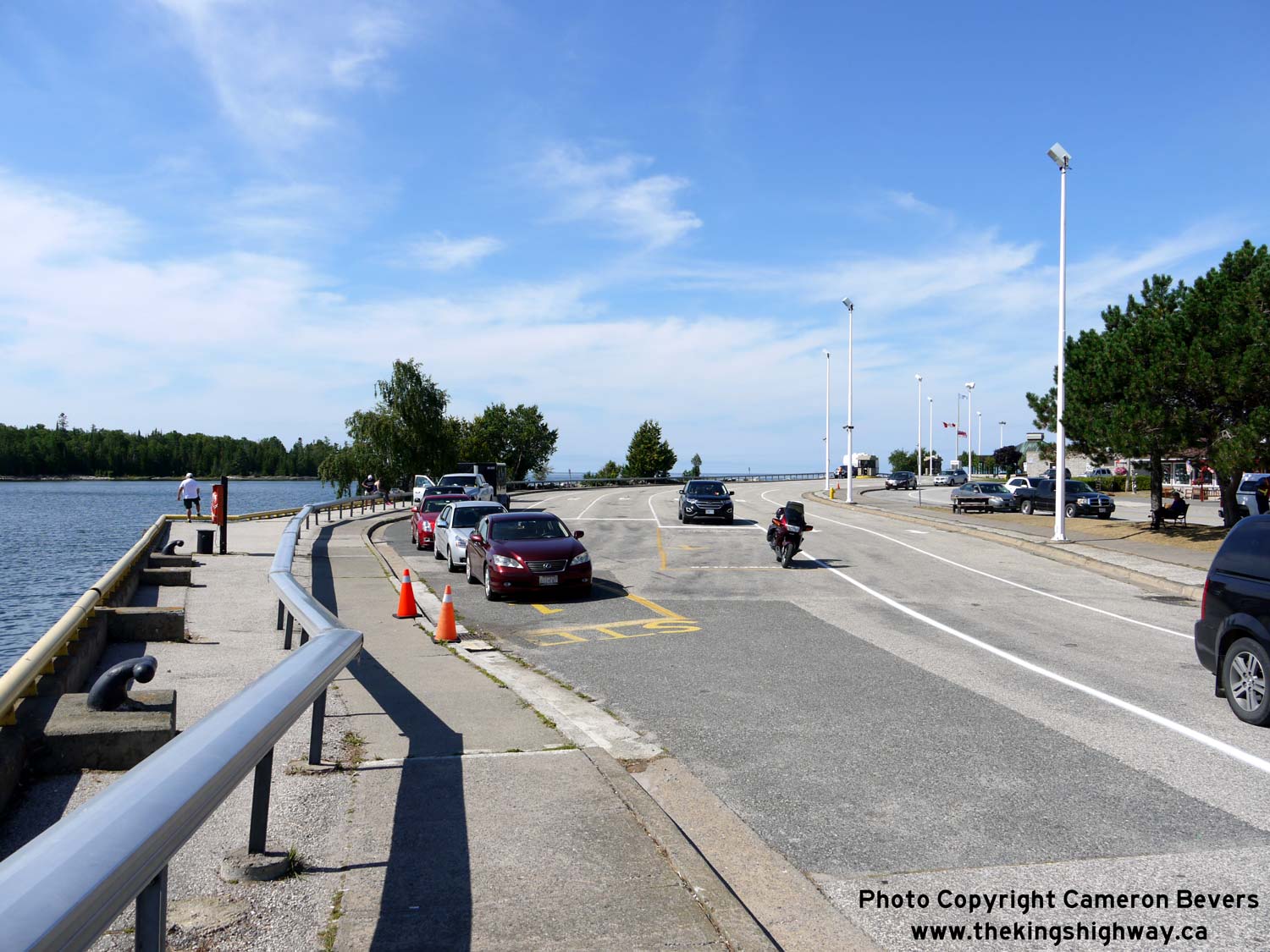
Enlarged Photo Here. (Photograph taken on August 15, 2016 - © Cameron Bevers) Right - Guide sign at the exit from the South Baymouth Ferry Dock. Northbound Hwy 6 traffic is directed to turn left and follow South Baymouth's main street. However, northbound traffic can also reach Hwy 6 by turning right and following Given Road through the northern end of town. See an Enlarged Photo Here. (Photograph taken on August 15, 2016 - © Cameron Bevers) 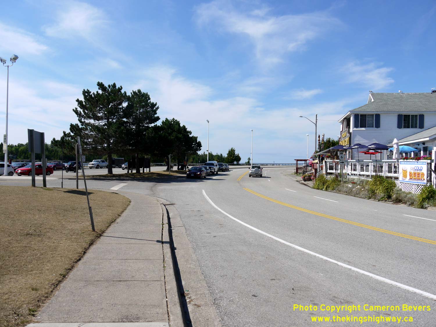
Left - The route of Hwy 6 resumes at the exit from the South Baymouth Ferry Dock. The highway briefly dips to the south through South Baymouth's streets.
However, Hwy 6 quickly curves back again and continues north out of town via Church Street. See an
Enlarged Photo Here. (Photograph taken on August 15, 2016 - © Cameron Bevers) Right - The northern leg of Hwy 6 comes to an end at the ferry dock exit in the background. Given Road continues ahead beyond the ferry dock exit through South Baymouth's residential district, before emerging back at Hwy 6 (Church Street) at the north entrance to town. See an Enlarged Photo Here. (Photograph taken on August 15, 2016 - © Cameron Bevers) 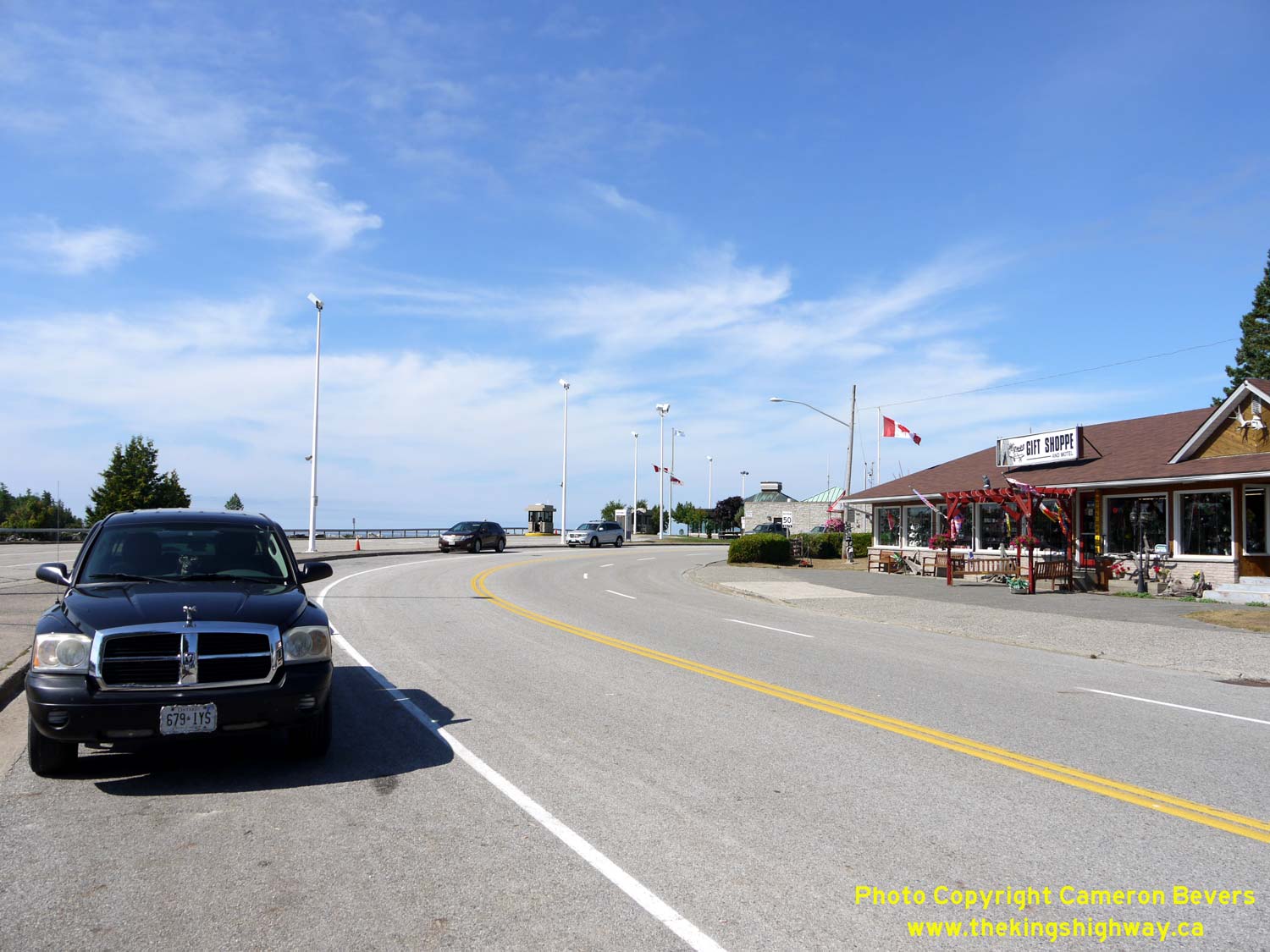
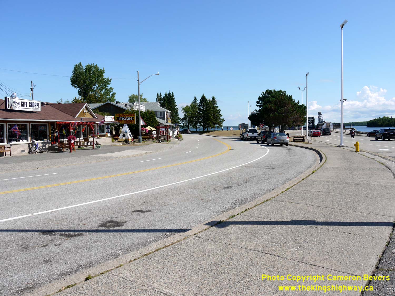
Left - Facing north along Hwy 6 through South Baymouth. The ferry staging area can be seen at left. A northbound passing lane was constructed from the ferry
dock exit in order to break up the vehicle platoons departing from the ferry dock. Slow trucks and other heavy vehicles can stay to the right, while faster vehicles
can pass on the left. Motorists should take full advantage of this northbound passing lane, since protected passing opportunities such as this one are rare on
Manitoulin Island. See an Enlarged Photo Here. (Photograph taken on August 15, 2016 - © Cameron Bevers) Right - Approaching Water Street in South Baymouth, facing south. Tobermory-bound Hwy 6 traffic can enter the staging area via Water Street at right. See an Enlarged Photo Here. (Photograph taken on August 15, 2016 - © Cameron Bevers) 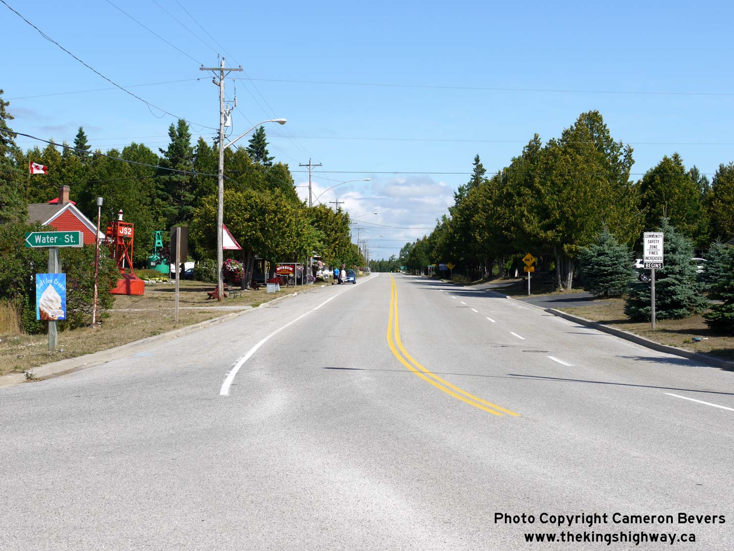
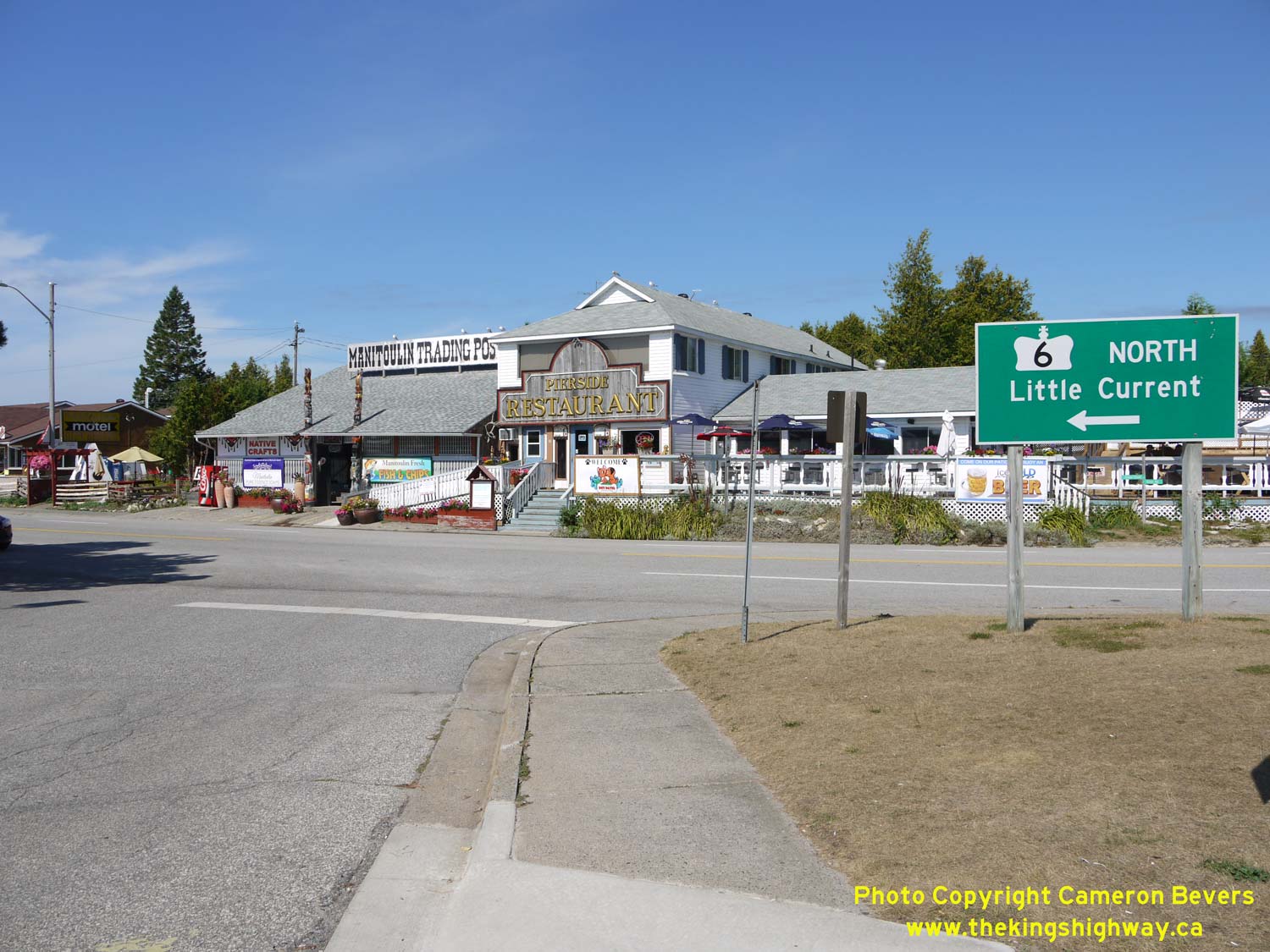
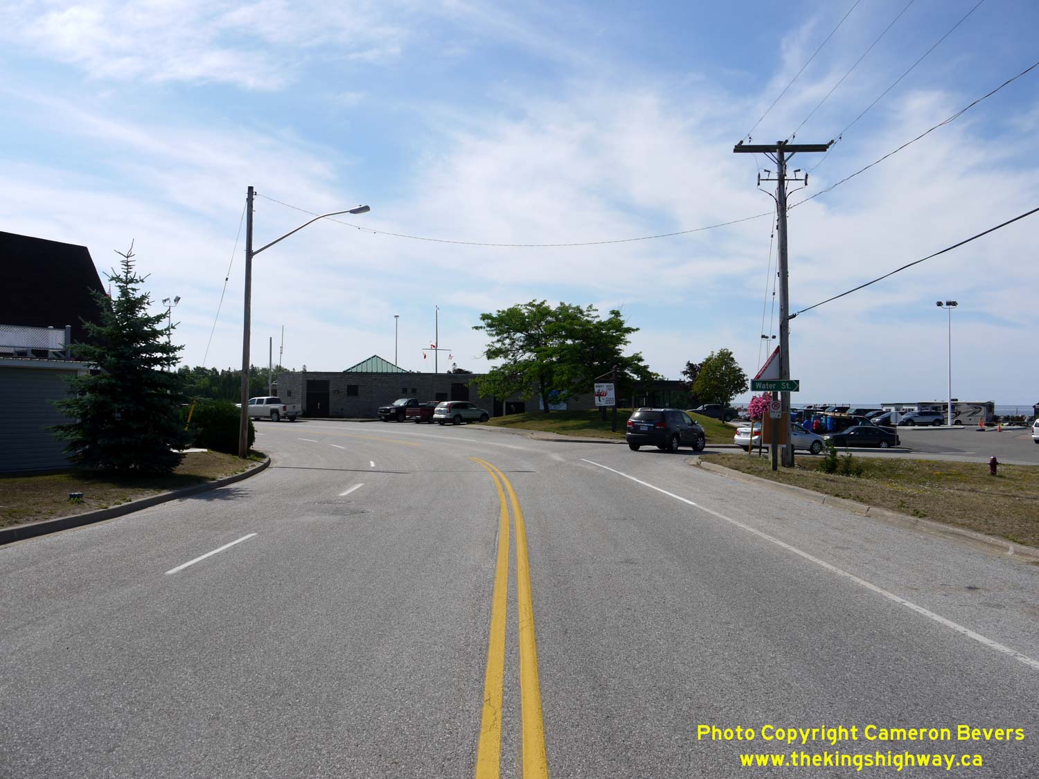
Left - Facing north along Hwy 6 (Church Street) from Water Street in South Baymouth. See an
Enlarged Photo Here. (Photograph taken on August 15, 2016 - © Cameron Bevers) Right - Facing south along Church Street (Hwy 6) from Given Road. All of South Baymouth's services are located on either Church Street (Hwy 6) or Given Road. See an Enlarged Photo Here. (Photograph taken on August 15, 2016 - © Cameron Bevers) 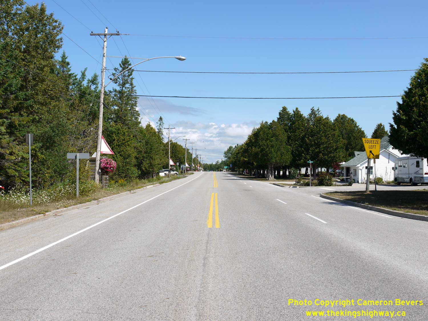
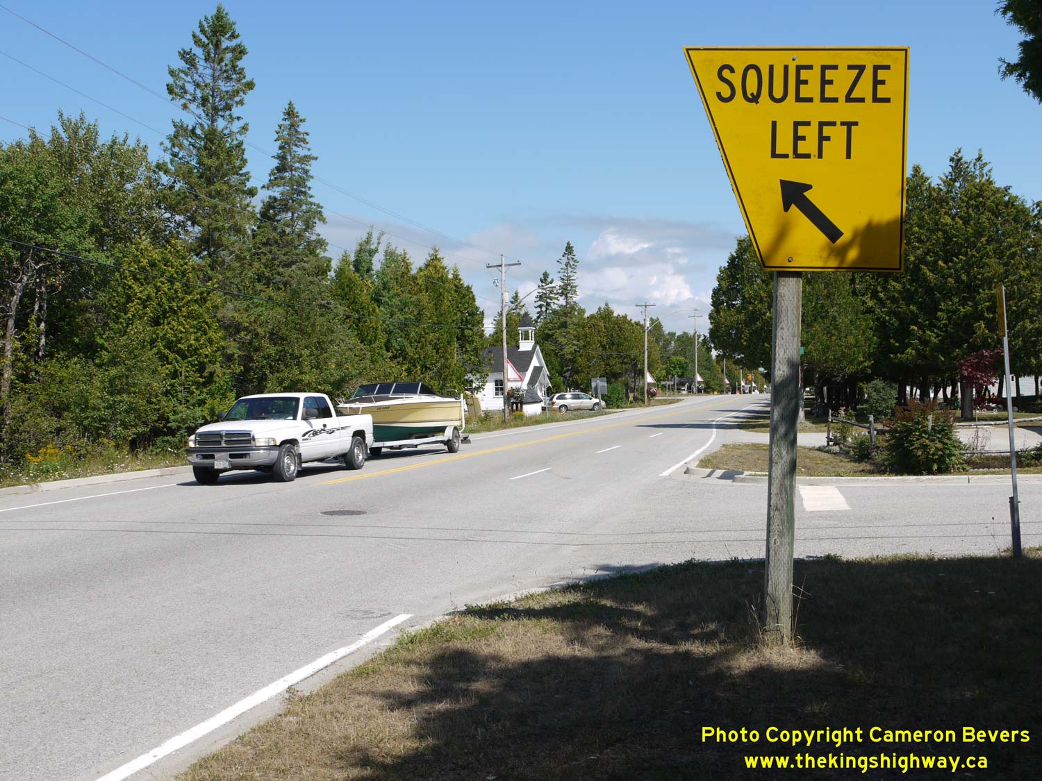
Left - Facing north along Hwy 6 (Church Street) at Given Road. Here, the northbound Hwy 6 passing lane comes to an end. See an
Enlarged Photo Here. (Photograph taken on August 15, 2016 - © Cameron Bevers) Right - An older angled "Squeeze Left" sign on northbound Hwy 6. Signs such as this one are now quite rare on Ontario's Highways, as most have been replaced with standard diamond-shaped warning signs. The current "Lane Ends" warning signs used in Ontario merely show a diagram of a lane ending without any text on the sign. See an Enlarged Photo Here. (Photograph taken on August 15, 2016 - © Cameron Bevers) 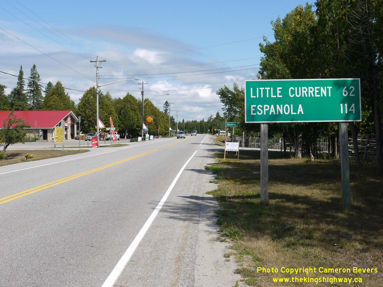
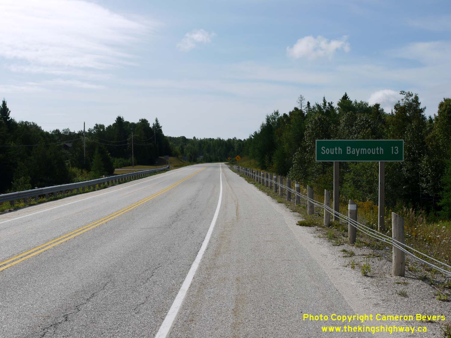
Left - Distance guide sign on northbound Hwy 6 in South Baymouth. See an
Enlarged Photo Here. (Photograph taken on August 15, 2016 - © Cameron Bevers) Right - Facing south along Hwy 6 approaching South Baymouth. See an Enlarged Photo Here. (Photograph taken on August 15, 2016 - © Cameron Bevers) 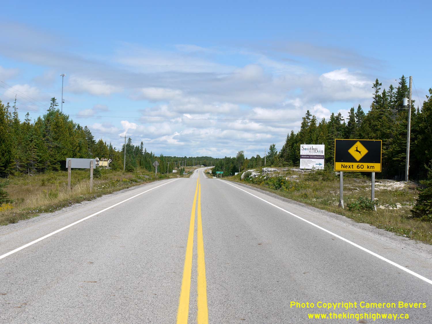
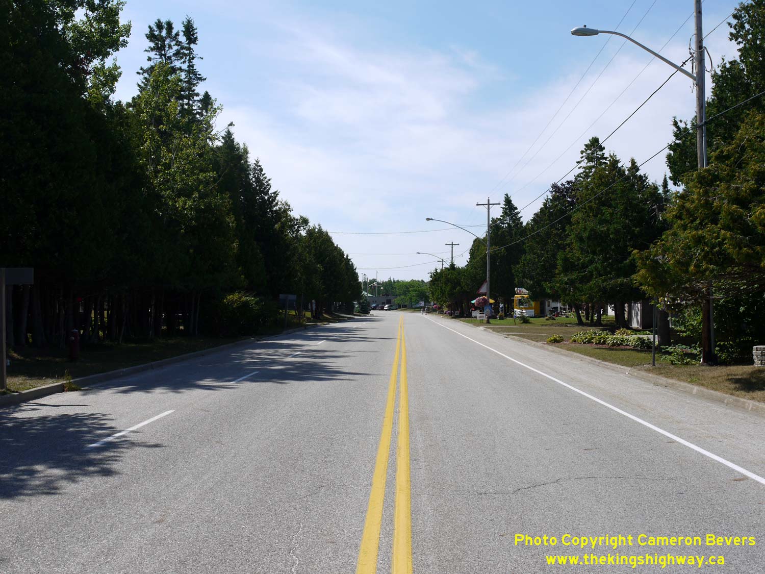
Left - Warning sign on northbound Hwy 6 in South Baymouth alerting motorists to the deer crossing hazard for the next 60 km. See an
Enlarged Photo Here. (Photograph taken on August 15, 2016 - © Cameron Bevers) Right - Departing from South Baymouth on Hwy 6, facing north towards Manitowaning. The route of Hwy 6 generally follows the eastern side of Manitoulin Island. Historically, Hwy 6 was known as Hwy 68. In 1980, the entire route of Hwy 68 from South Baymouth to the Hwy 17 Junction near Espanola was renumbered as Hwy 6. Although Manitoulin Island is serviced by approximately 300 km of provincial highways, Hwy 6 is Manitoulin's only King's Highway. The balance of the highways on the island are 500-Series Secondary Highways. See an Enlarged Photo Here. (Photograph taken on August 15, 2016 - © Cameron Bevers) 
Left - A sign on southbound Hwy 6 approaching South Baymouth directs traffic to continue straight ahead to reach the ferry dock. This sign does strike me as
being rather strange, as it should seem rather obvious to motorists that the highway straight ahead would eventually lead to the ferry dock. See an
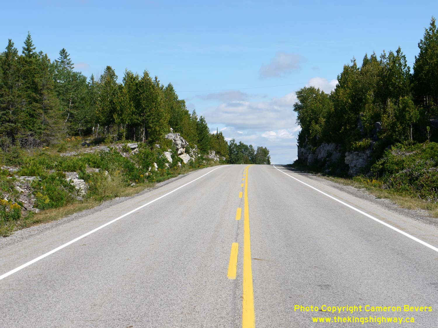
Enlarged Photo Here. (Photograph taken on August 15, 2016 - © Cameron Bevers) Right - Rock cut on Hwy 6, located about 3 km north of South Baymouth. The southern part of Manitoulin Island is rather flat, but there are sections were the limestone bedrock breaks through to the surface. This rock cut was built in the early 1970s to improve the highway's vertical alignment. See an Enlarged Photo Here. (Photograph taken on August 15, 2016 - © Cameron Bevers) 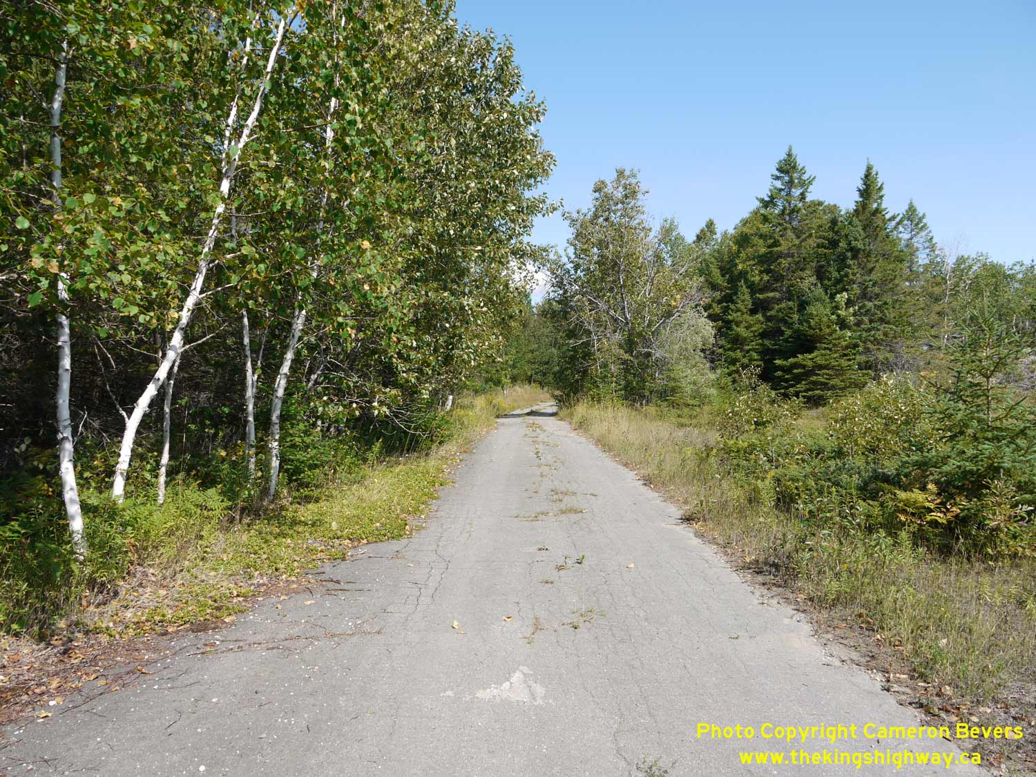
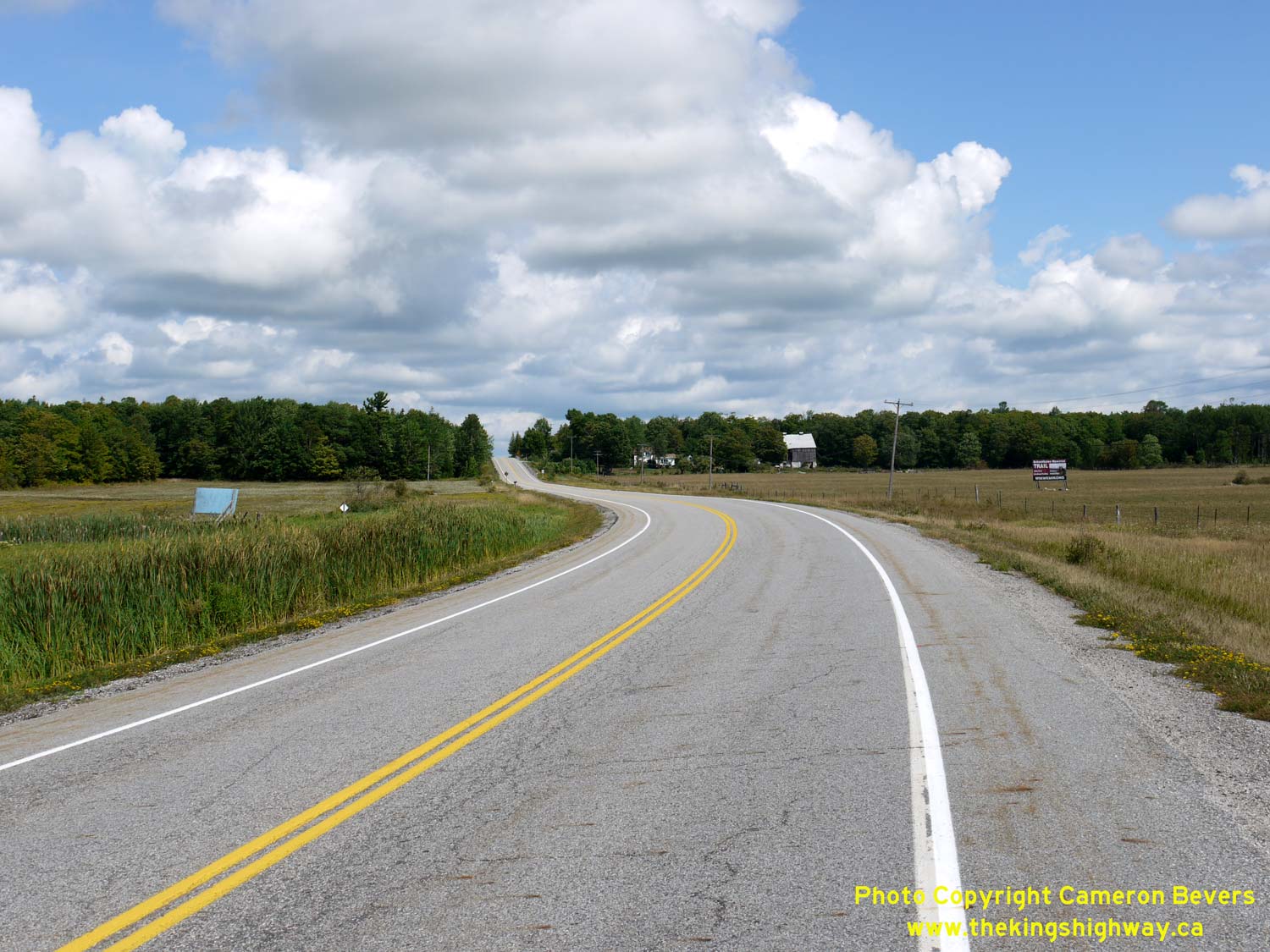
Left - An abandoned highway alignment can be found immediately adjacent to the rock cut. The pavement along the old highway has fared quite well. See an
Enlarged Photo Here. (Photograph taken on August 15, 2016 - © Cameron Bevers) Right - Facing north along Hwy 6, about 8 km north of South Baymouth. As the thick forests of the South Baymouth area pass, farms begin to appear along Hwy 6. See an Enlarged Photo Here. (Photograph taken on August 15, 2016 - © Cameron Bevers) 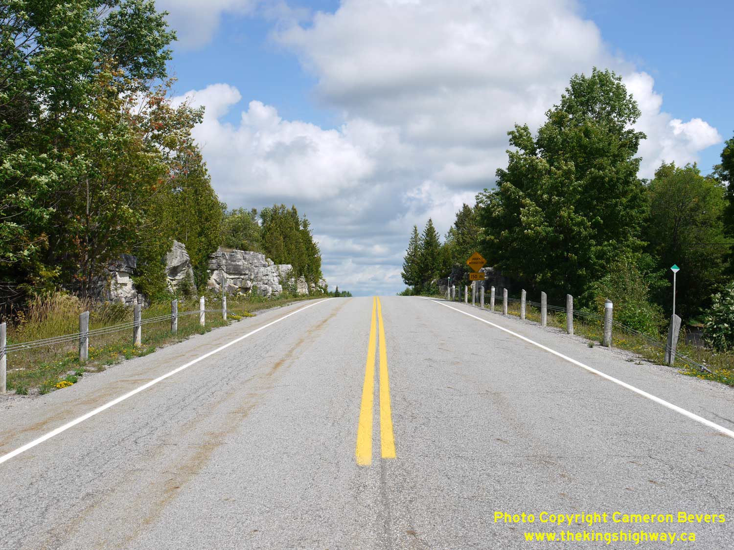
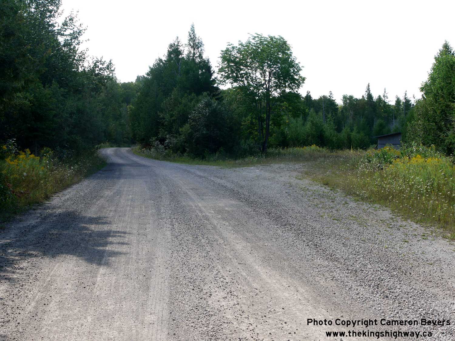
Left - This rock cut about 9 km north of South Baymouth was built to eliminate two very hazardous curves in the original highway. The hidden intersection
marked by the warning sign ahead is actually Old Hwy 68 - the predecessor of today's Hwy 6. The old highway can be seen emerging again from the woods near the
green-and-white snowplow marker at right. See an Enlarged Photo Here. (Photograph taken on August 15, 2016 - © Cameron Bevers) Right - Facing south along Hwy 6 towards South Baymouth from the junction of Old Hwy 68. The curve in the background is also a newer diversion. The alignment of the highway was improved significantly during reconstruction projects carried out in the early 1970s. Several curves and intersections were either improved or removed altogether. See an Enlarged Photo Here. (Photograph taken on August 15, 2016 - © Cameron Bevers) 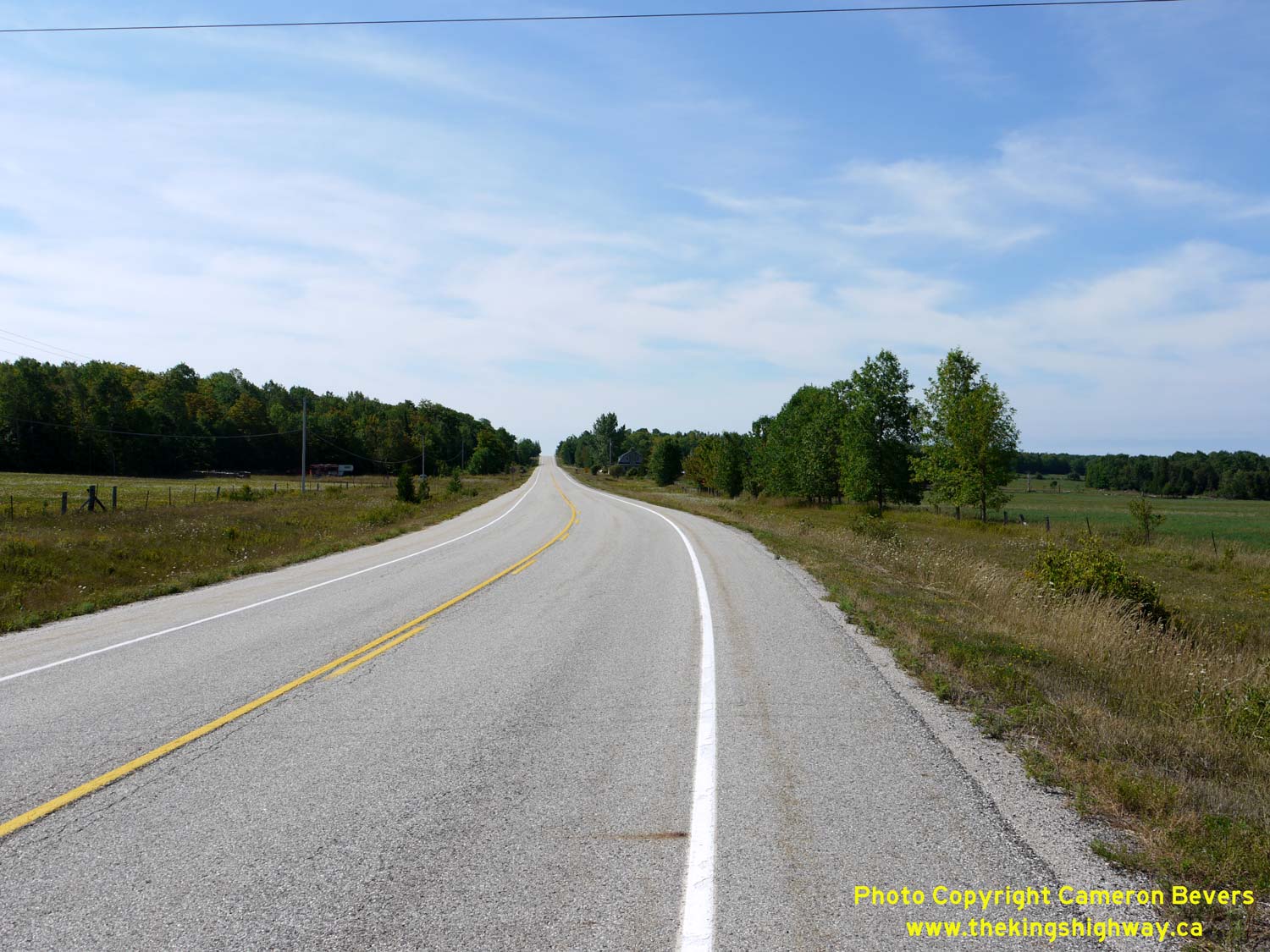
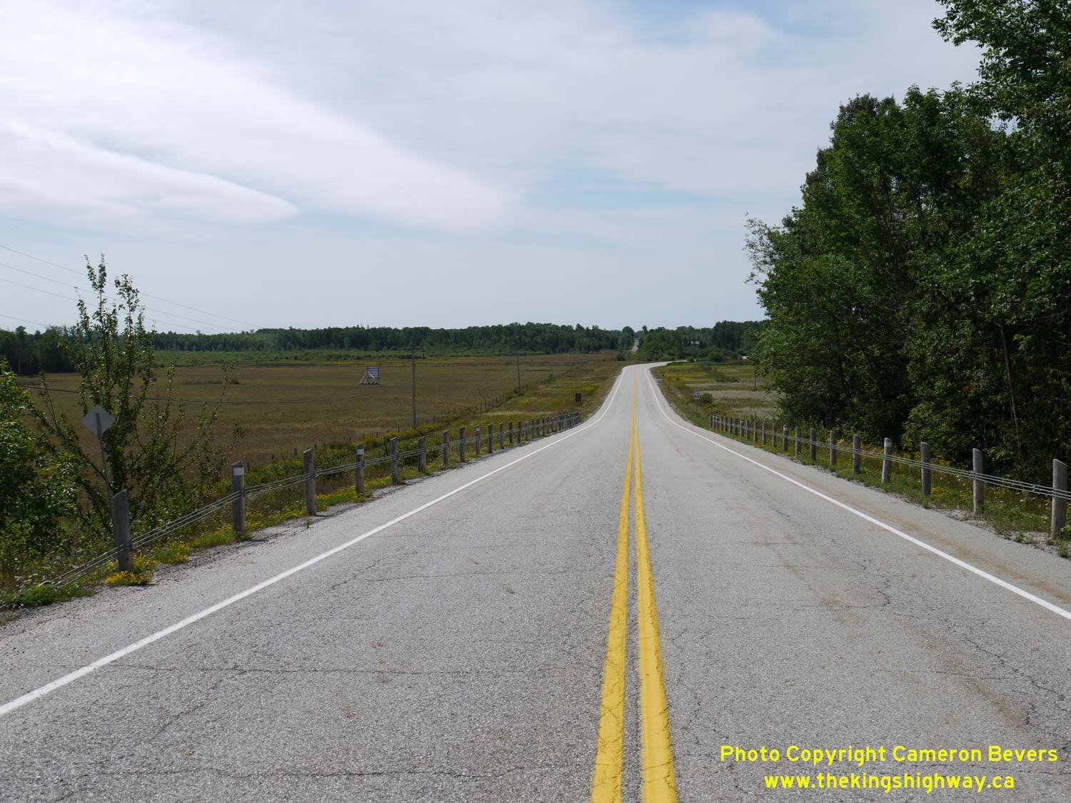
Left - Facing south along Hwy 6, about 10 km north of South Baymouth. See an
Enlarged Photo Here. (Photograph taken on August 15, 2016 - © Cameron Bevers) Right - This abandoned superelevated curve leads into the forest just south of the Hwy 542 Junction. A shack was constructed on top of the former highway at right. See an Enlarged Photo Here. (Photograph taken on August 15, 2016 - © Cameron Bevers) 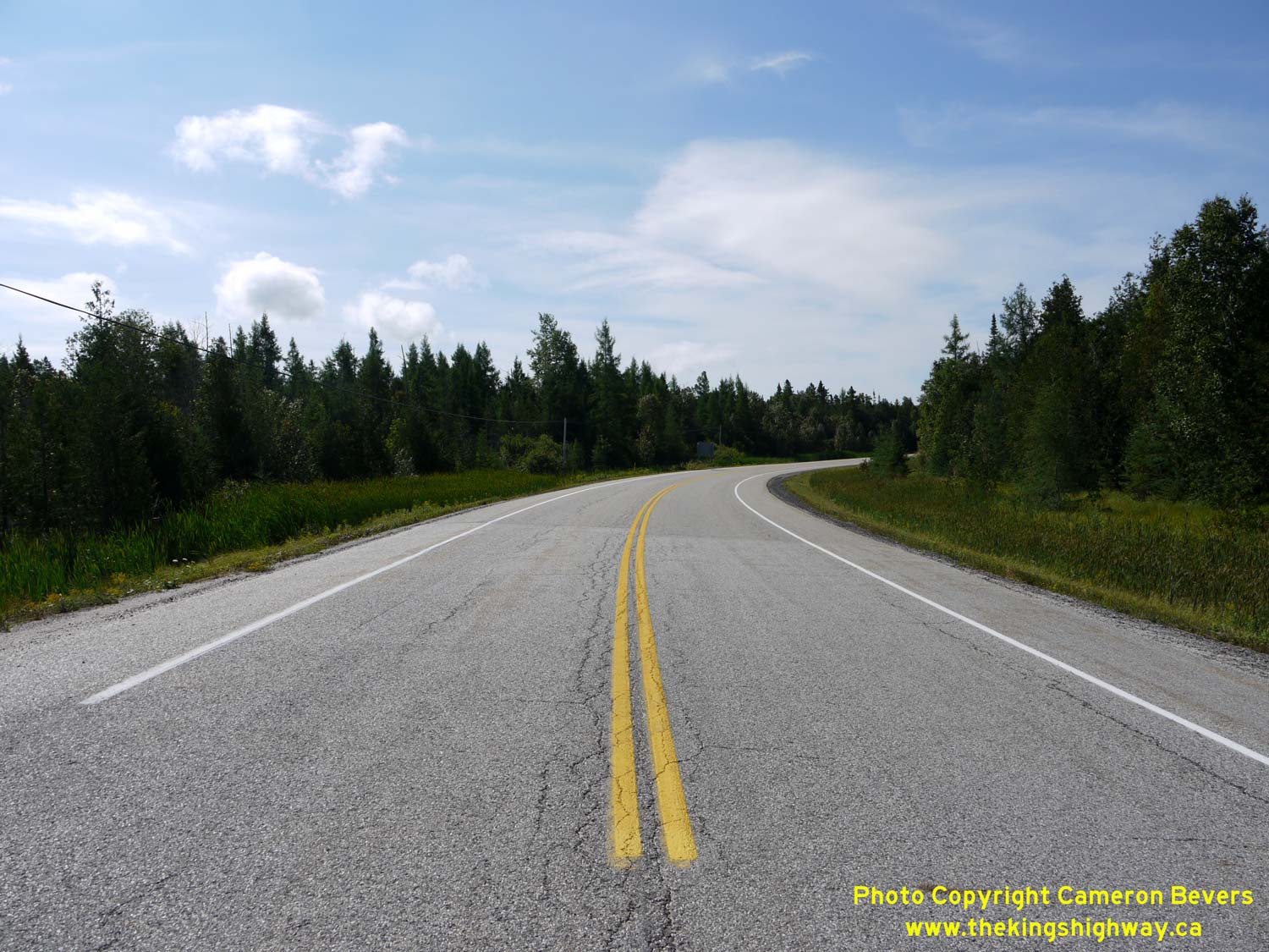
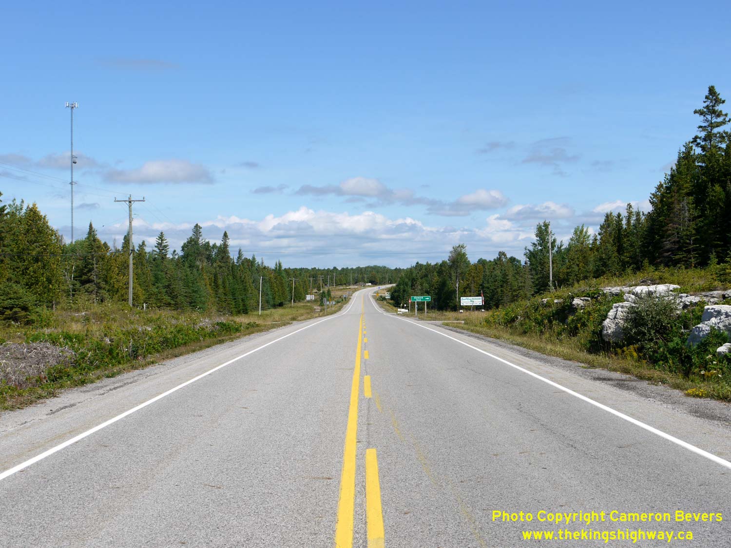
Left - This newer curve diversion near Hwy 542 bypassed the old alignment shown in the previous photo in 1970. See an
Enlarged Photo Here. (Photograph taken on August 15, 2016 - © Cameron Bevers) Right - Approaching the Hwy 542 Junction on Hwy 6, facing north towards Manitowaning. See an Enlarged Photo Here. (Photograph taken on August 15, 2016 - © Cameron Bevers) 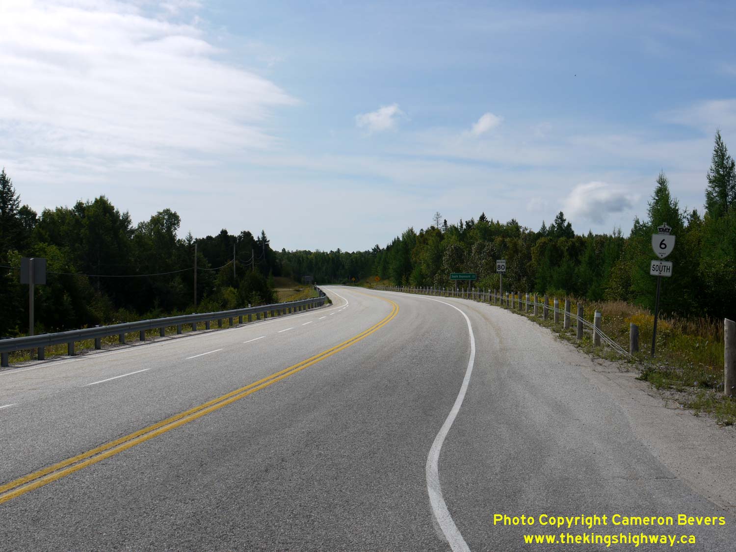
Left - Facing south along Hwy 6 from the Hwy 542 Junction. See an
Enlarged Photo Here. (Photograph taken on August 15, 2016 - © Cameron Bevers) Right - Distance guide sign on southbound Hwy 6 at the Hwy 542 Junction. See an Enlarged Photo Here. (Photograph taken on August 15, 2016 - © Cameron Bevers) 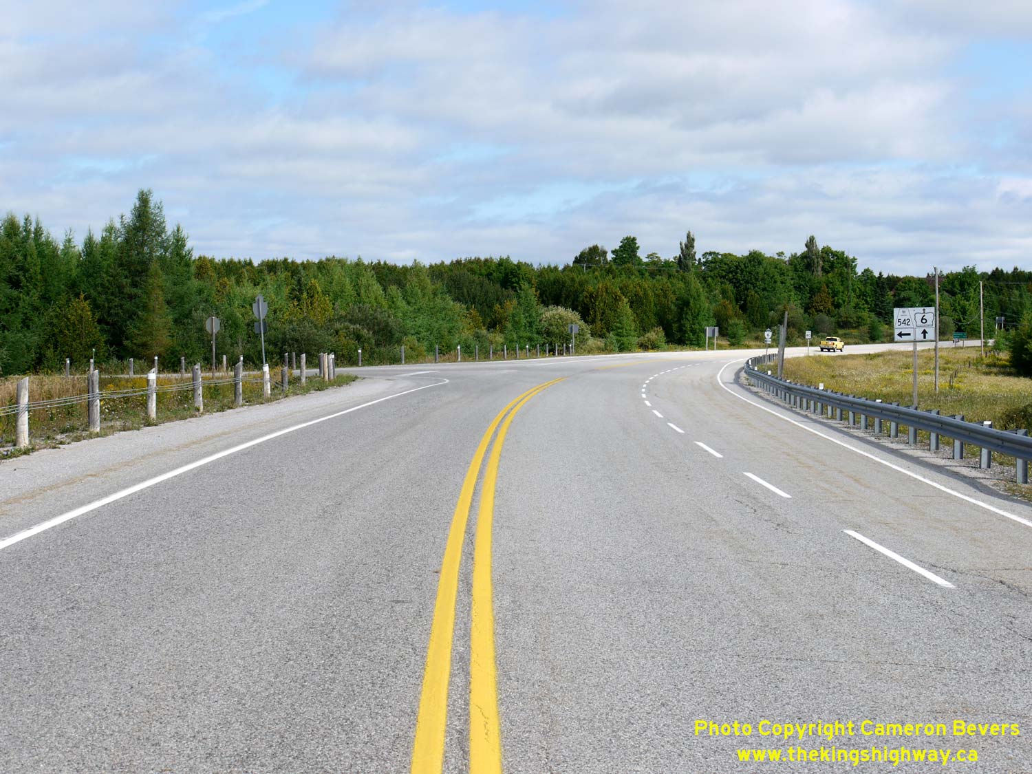
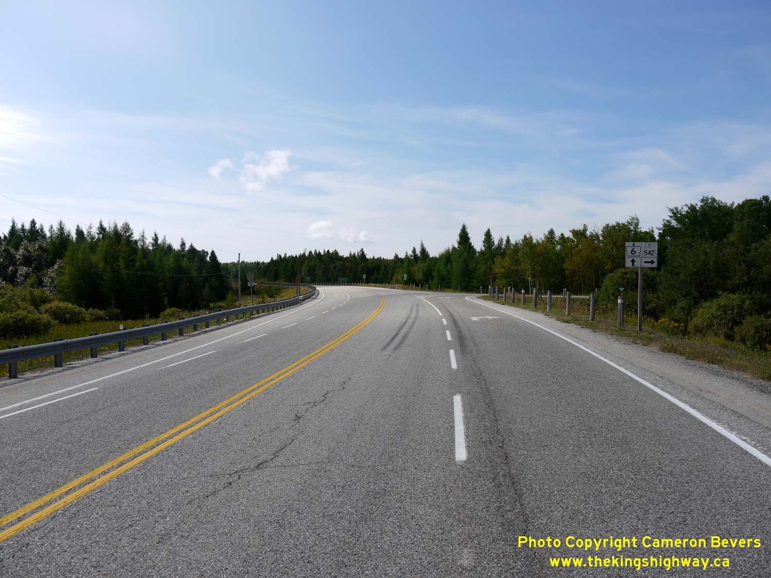
Left - Facing north along Hwy 6 at the Hwy 542 Junction. This is one of only two highway junctions along Hwy 6 on Manitoulin Island. The other highway junction
is located at the north end of Manitoulin Island, where Hwy 6 intersects with Hwy 540 within the Town of Little Current. See an
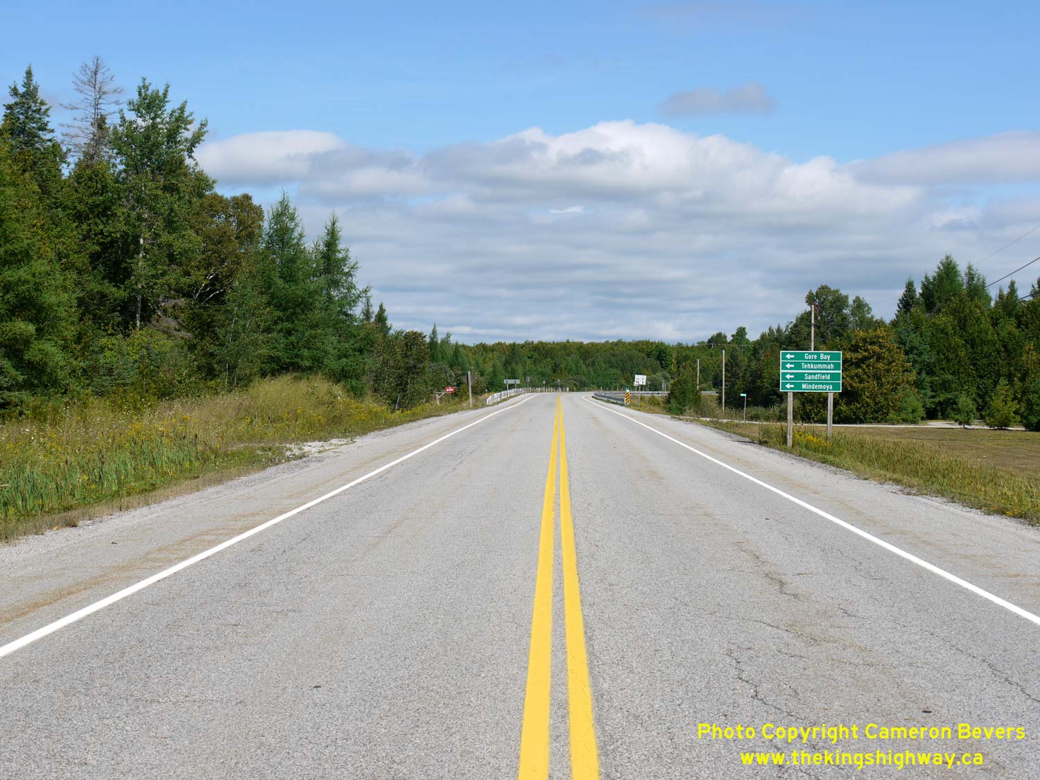
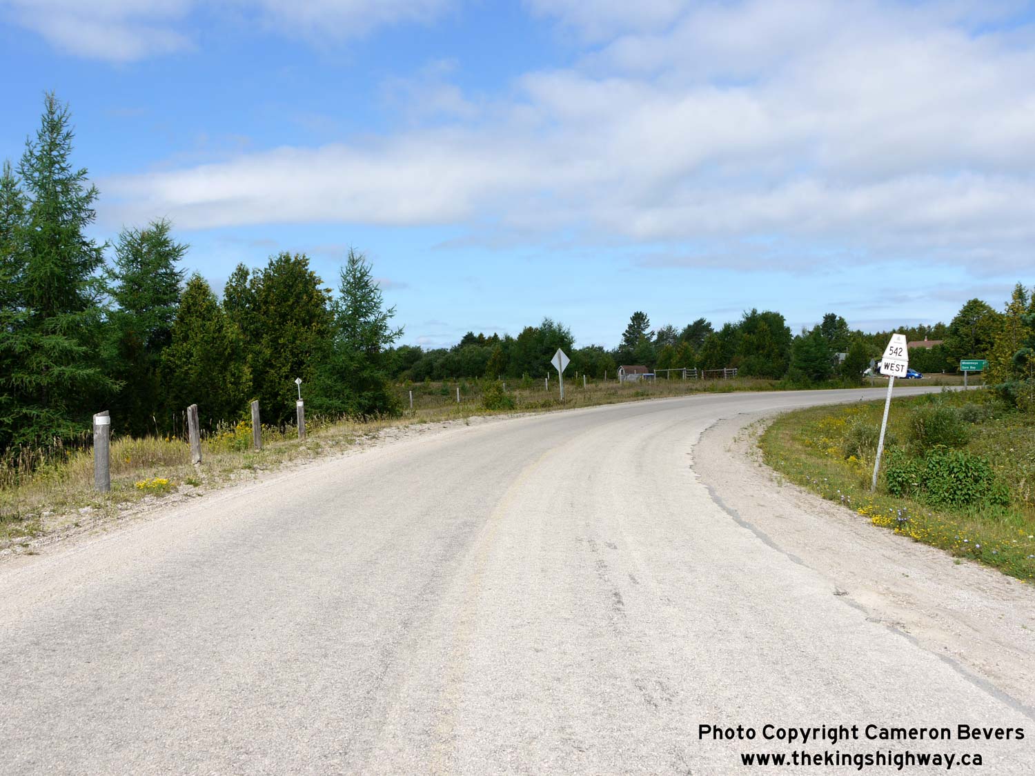
Enlarged Photo Here. (Photograph taken on August 15, 2016 - © Cameron Bevers) Right - Facing west along Hwy 542 from the Hwy 6 Junction. Hwy 542 heads northwesterly to Gore Bay, via Sandfield and Mindemoya. See an Enlarged Photo Here. (Photograph taken on August 15, 2016 - © Cameron Bevers) 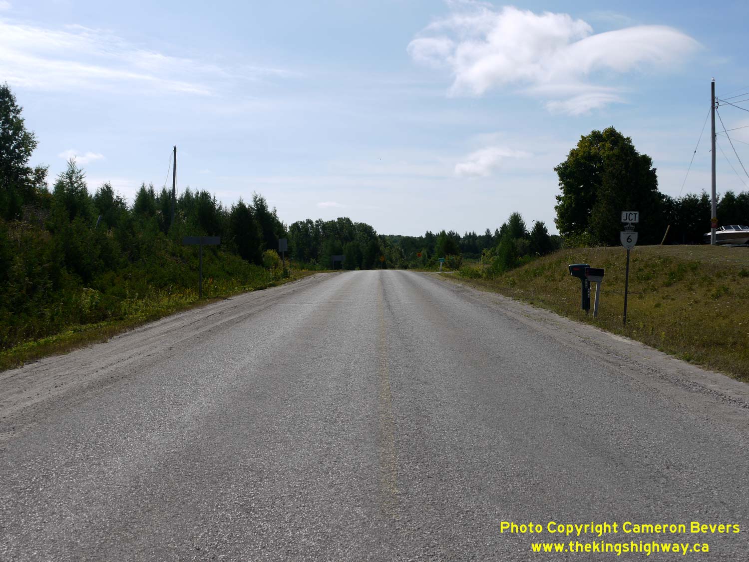
Left - Approaching the eastern terminus of Hwy 542 at the Hwy 6 Junction, about 13 km north of South Baymouth. See an
Enlarged Photo Here. (Photograph taken on August 15, 2016 - © Cameron Bevers) Right - Facing south along Hwy 6 at the Hwy 542 Junction. This highway junction was rebuilt in 1969. When Hwy 542 was first established in 1956, the two highways intersected at the crossroads, located about 200 metres to the northwest of the current highway junction. See an Enlarged Photo Here. (Photograph taken on August 15, 2016 - © Cameron Bevers) 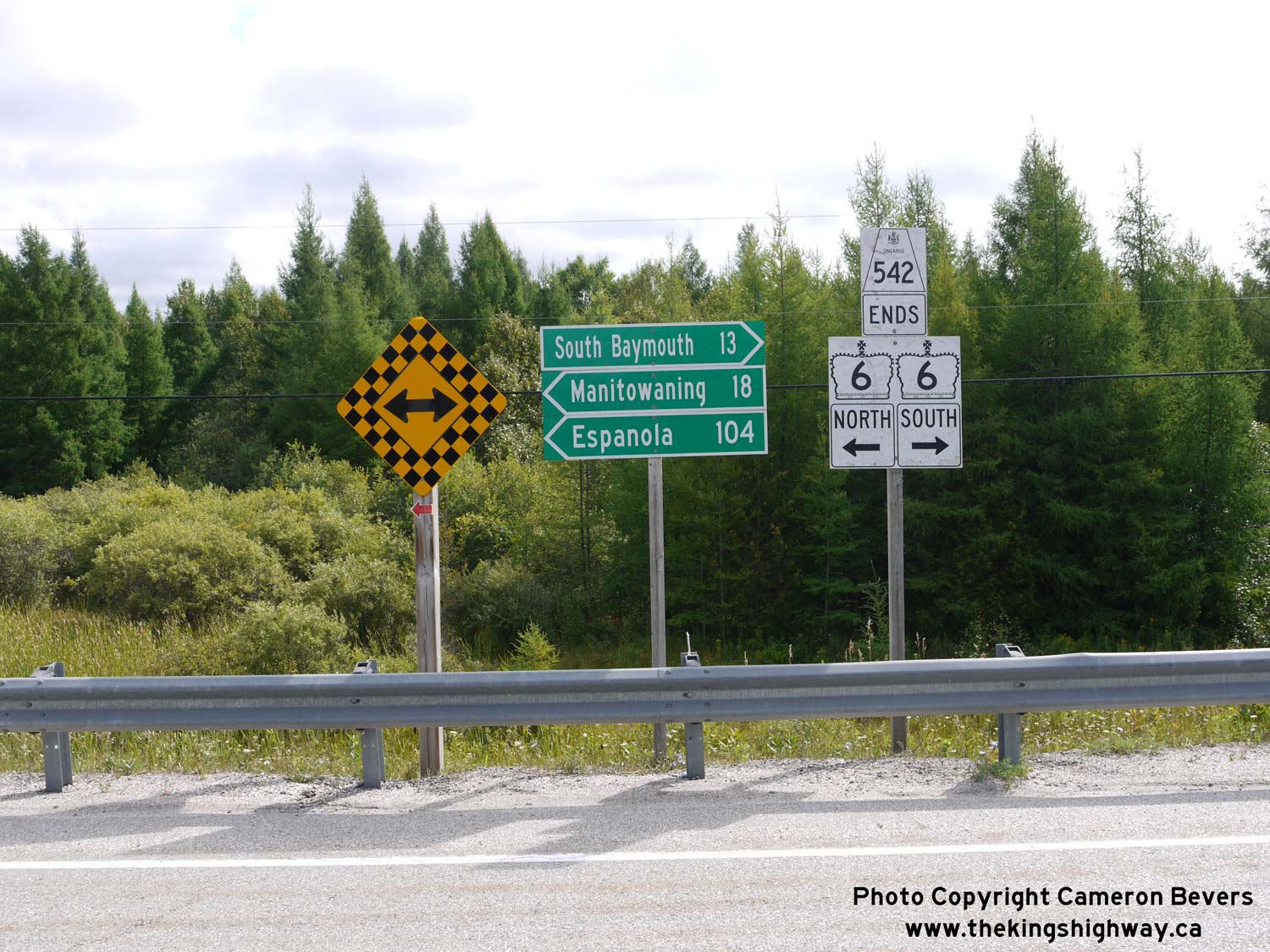
Left - Junction assembly at the eastern terminus of Hwy 542 at the Hwy 6 Junction. See an
Enlarged Photo Here. (Photograph taken on August 15, 2016 - © Cameron Bevers) Right - Facing north along Hwy 6 towards Manitowaning from the Hwy 542 Junction. See an Enlarged Photo Here. (Photograph taken on August 15, 2016 - © Cameron Bevers) 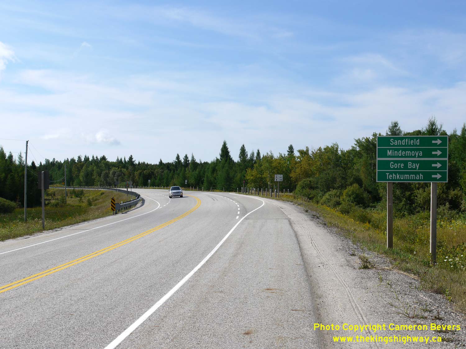
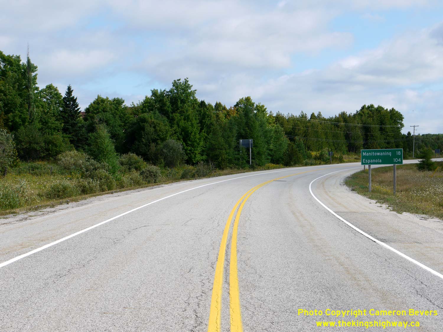
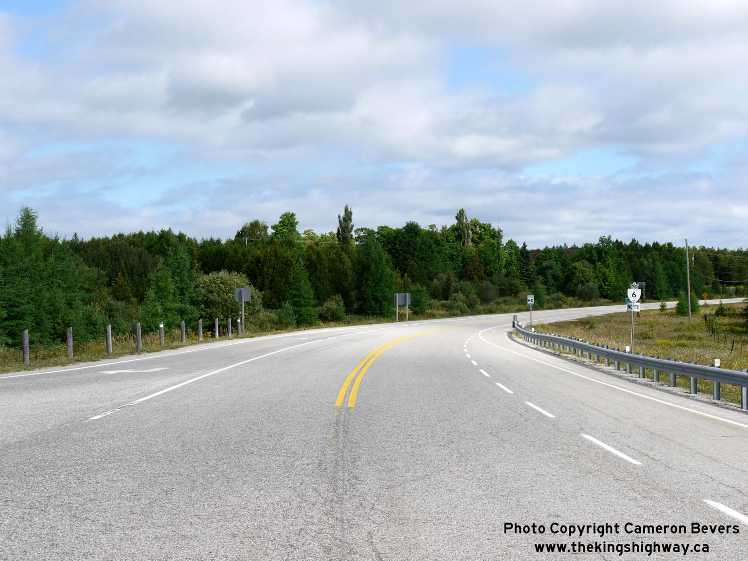
Left - Approaching the Hwy 542 Junction on Hwy 6, facing south. See an
Enlarged Photo Here. (Photograph taken on August 15, 2016 - © Cameron Bevers) Right - Distance guide sign on northbound Hwy 6 at the Hwy 542 Junction. See an Enlarged Photo Here. (Photograph taken on August 15, 2016 - © Cameron Bevers) 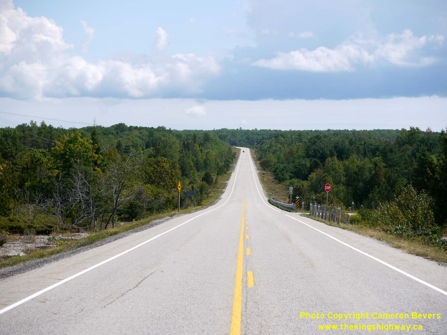
Above - Facing north along Hwy 6 towards Manitowaning, about 3 km north of the Hwy 542 Junction. See an
Enlarged Photo Here. (Photograph taken on August 15, 2016 - © Cameron Bevers)
Continue on to King's Highway 6 Photos: Manitowaning to Little Current
|
|---|
Links to Adjacent King's Highway Photograph Pages:
Back to King's Highway 5 Photos /
King's Highway 6 History /
On to King's Highway 7 Photos
Ontario Highway History - Main Menu / Back to List of Highways Website contents, photos & text © 2002-2026, Cameron
Bevers (Webmaster) - All Rights Reserved / Contact Me
|
|---|