
| 
| |
|
|
This page contains historical and present day photos of Ontario's King's Highway 80. All photographs displayed on this page
were taken by the Webmaster (Cameron Bevers), unless specifically noted otherwise. Historical photographs are arranged in approximate chronological order, while
present day photographs (Year 2000 to date) are arranged by location from west to east. Click on any thumbnail to see a larger image!
Please note that all photographs displayed on this
website are protected by copyright. These photographs must not be reproduced, published,
electronically stored or copied, distributed, or posted onto other websites without
my written permission. If you want to use photos from this website, please
email me first for permission. Thank-you!
|
|---|
|
Present Day King's Highway 80 Photographs


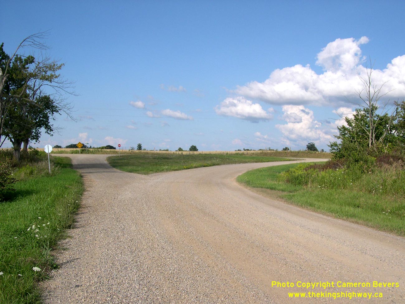
Left - Looking east along the old route of Hwy 80 near Alvinston. This alignment was bypassed in the early 1960s. See an
Enlarged Photo here. (Photograph taken on August 15, 2004 - © Cameron Bevers) Right - A tell-tale sign of a former provincial highway alignment - a small superelevated corner diversion on the route of Old Hwy 80 at Conservation Road between Alvinston and Glencoe. The Department of Highways built many small corner diversions such as this one during the 1920s, 1930s and 1940s, in order to best serve high-speed through traffic on the main provincial highway. See an Enlarged Photo here. (Photograph taken on August 15, 2004 - © Cameron Bevers)
More King's Highway 80 Photographs Coming Soon!
|
|---|
Links to Adjacent King's Highway Photograph Pages:
Back to King's Highway 79 Photos /
King's Highway 80 History /
On to King's Highway 81 Photos
Ontario Highway History - Main Menu / Back to List of Highways Website contents, photos & text © 2002-2026, Cameron
Bevers (Webmaster) - All Rights Reserved / Contact Me
|
|---|