
| 
| |
|
|
This page contains historical and present day photos of Ontario's King's Highway 86B (West Montrose). All photographs displayed on
this page were taken by the Webmaster (Cameron Bevers), unless specifically noted otherwise. Historical photographs are arranged in approximate chronological order,
while present day photographs (Year 2000 to date) are arranged by location from west to east. Click on any thumbnail to see a larger image!
Please note that all photographs displayed on this
website are protected by copyright. These photographs must not be reproduced, published,
electronically stored or copied, distributed, or posted onto other websites without
my written permission. If you want to use photos from this website, please
email me first for permission. Thank-you!
|
|---|
|
Historical King's Highway 86B (West Montrose) Photographs

Above - West Montrose Covered Bridge on Hwy 86, facing west towards Elmira in 1946. This historic bridge was built in 1881 under the direction of the Woolwich
Township Council. The bridge was constructed by John and Sam Bear, using mostly white pine timbers cut from tree stands in the Blair and Doon areas of present-day
Cambridge and Kitchener, respectively. Some of the original timbers used to construct the bridge were 9 inches by 18 inches and were 50 feet in length. The bridge was
eventually assumed by the County of Waterloo from Woolwich Township. The Department of Highways of Ontario (DHO) subsequently acquired the West Montrose Covered
Bridge when the province assumed jurisdiction over the Elmira to Guelph Road as an extension of King's Highway 86 in April 1938. To put the age of the West Montrose
Covered Bridge into perspective, the structure is nearly as old as Canada itself - it was built a mere 14 years after Canada's Confederation in 1867! See an
Enlarged Photo Here. Photo taken on October 23, 1946. (Photo courtesy of Ontario Ministry of Transportation - © King's Printer for Ontario, 1946) 
Above - Side view of the West Montrose Covered Bridge on Hwy 86 prior to repainting. The covered bridge is 196 feet, 6 inches in length, plus an additional
6-foot overhang at each portal. Thus, the total length of the bridge is 208 feet, 6 inches. This is the only surviving example of a historical 19th Century covered
bridge left in Ontario. The roadway width across the bridge is less than 20 feet, so effectively, it operates as a one-lane bridge. In the 1950s, the DHO reported
the roadway width across the structure to be 17 feet (5.2 metres), but until recently, signs were posted which indicated that the roadway width was only 4.6 metres.
The vertical clearance was reported to be 12 feet, 10 inches (3.9 metres) by DHO in 1961, although the bridge is posted with maximum clearance signs of 3.6 metres
today. The covered bridge design never saw widespread use in Ontario, with only five covered bridges known to have ever been built historically throughout the
province. The other four examples were all located in Eastern Ontario - one each in Martintown and Williamstown in Glengarry County, one near Frankford in Hastings
County and one near Napanee in Lennox & Addington County. The covered bridge near Napanee managed to survive into the 1930s, but was removed from service in 1936.
With the Napanee example demolished, the West Montrose Covered Bridge was left as the only surviving example of this very rare bridge type in Ontario. See an
Enlarged Photo Here. Photo taken circa 1953. (Photo courtesy of Ontario Ministry of Transportation - © King's Printer for Ontario, 1959) 
Above - Interior view of the West Montrose Covered Bridge on Hwy 86, with wooden plank decking. A restoration project was carried out by DHO's bridge crews
in the mid-1950s to replace the old plank deck seen here with a new laminated floor of 2-by-4 boards, which were covered with a thin layer of asphalt-bonded crushed
stone. This bituminous surface was then rolled into place for a smooth driving surface through the bridge. Other upgrades included levelling up the bridge at the
centre pier, various structural repairs, bearing replacements, improved electrical illumination through the bridge and restoration of all 24 of the bridge's window
shutters. Although a modern retrofit, the new electrical illumination system was housed inside 19th Century-styled lanterns placed at intervals of 40 feet. This
embellishment was a historical reference to the neighbourly gestures of early residents of West Montrose. It is said that residents took similar-styled oil-powered
lanterns out to the bridge at night and hung them from the bridge's rafters to welcome weary stagecoach travellers to their village. See an
Enlarged Photo Here. Photo taken circa 1953. (Photo courtesy of Ontario Ministry of Transportation - © King's Printer for Ontario, 1959) 
Above - A car emerges from the south portal of the freshly-painted West Montrose Covered Bridge on Hwy 86. The historic covered bridge was repainted by DHO
District #3 (Stratford) bridge maintenance crews during 1957. The West Montrose Covered Bridge is known locally as "The Kissing Bridge" and was one of the Ontario
filming locations featured in the 2017 blockbuster movie, "It". See an Enlarged Photo Here.
Photo taken on August 16, 1957. (Photo courtesy of Ontario Ministry of Transportation - © King's Printer for Ontario, 1957) 
Above - West Montrose Covered Bridge over the Grand River on Old Hwy 86. After being bypassed in 1958, long-distance through traffic no longer had to cross the
Grand River through the covered bridge. The old bridge sits on a lightly-travelled road in Woolwich Township and now carries only local and tourism traffic. Note that
the maximum bridge load limit was set at 5 tons, which was one quarter of the typical 20 ton load limit used on provincial highway bridges at the time. See an
Enlarged Photo Here. Photo taken in 1960. (Photo courtesy of Ontario Ministry of Transportation - © King's Printer for Ontario, 1960) 
Above - Western side of the West Montrose Covered Bridge on Old Hwy 86 in 1987. See an
Enlarged Photo Here. (Photograph taken in March 1987 - © Cameron Bevers) 
Above - View of the West Montrose Covered Bridge, facing north through the south portal. See an
Enlarged Photo Here. (Photograph taken in March 1987 - © Cameron Bevers) |
|---|
|
Present Day King's Highway 86B (West Montrose) Photographs


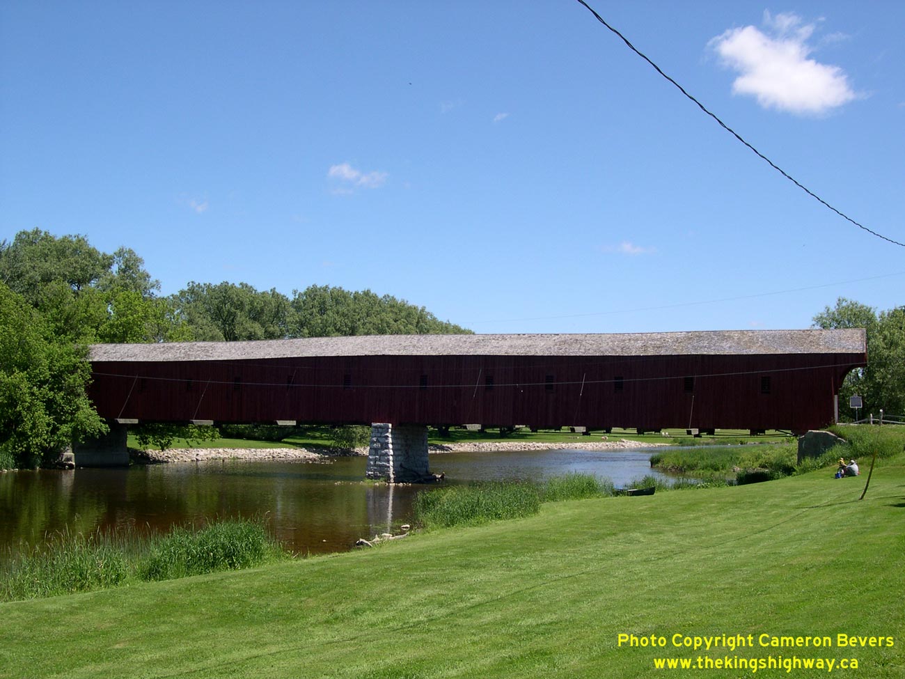
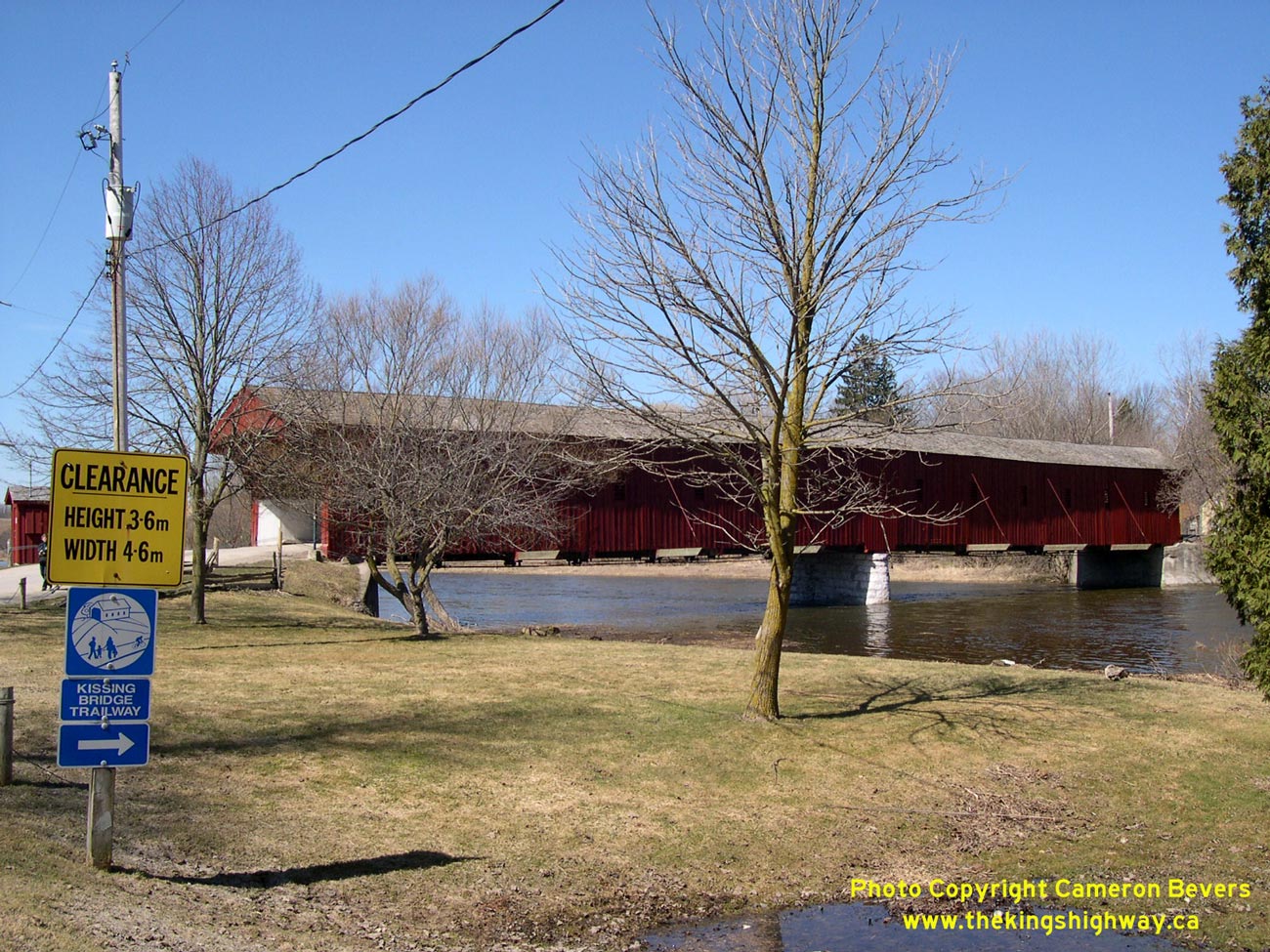
Left - Western side of West Montrose Covered Bridge on Old Hwy 86. Structure completed in 1881. See an
Enlarged Photo Here. (Photograph taken on June 10, 2006 - © Cameron Bevers) Right - The West Montrose Covered Bridge is the only covered bridge still standing in Ontario. See an Enlarged Photo Here. (Photograph taken on April 9, 2005 - © Cameron Bevers) 
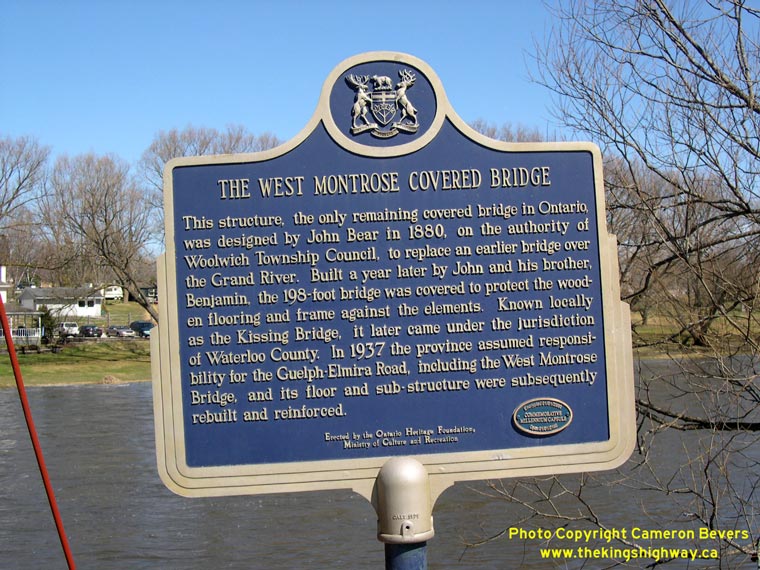
Left - Approaching the West Montrose Covered Bridge on Old Hwy 86 from Guelph. See an
Enlarged Photo Here. (Photograph taken on April 9, 2005 - © Cameron Bevers) Right - Ontario Heritage plaque beside the West Montrose Covered Bridge. See an Enlarged Photo Here. (Photograph taken on April 9, 2005 - © Cameron Bevers) 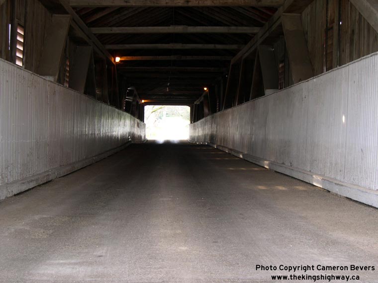

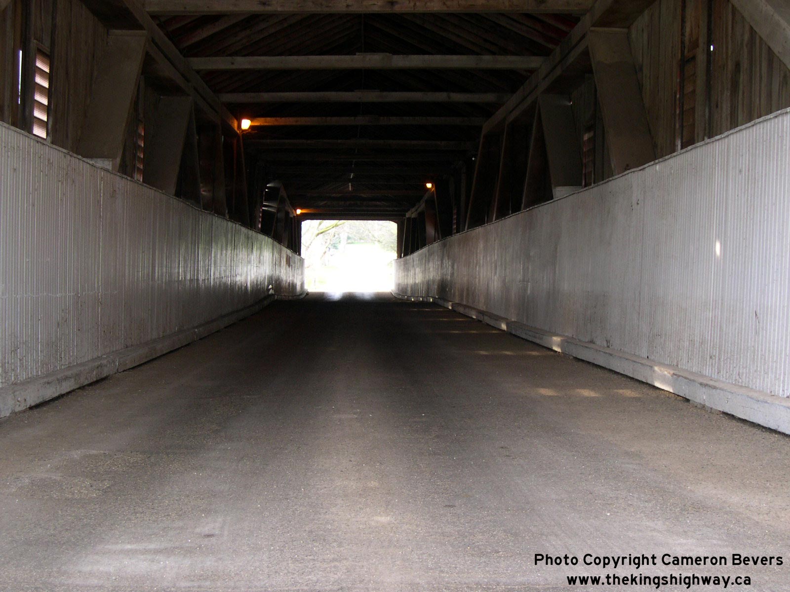
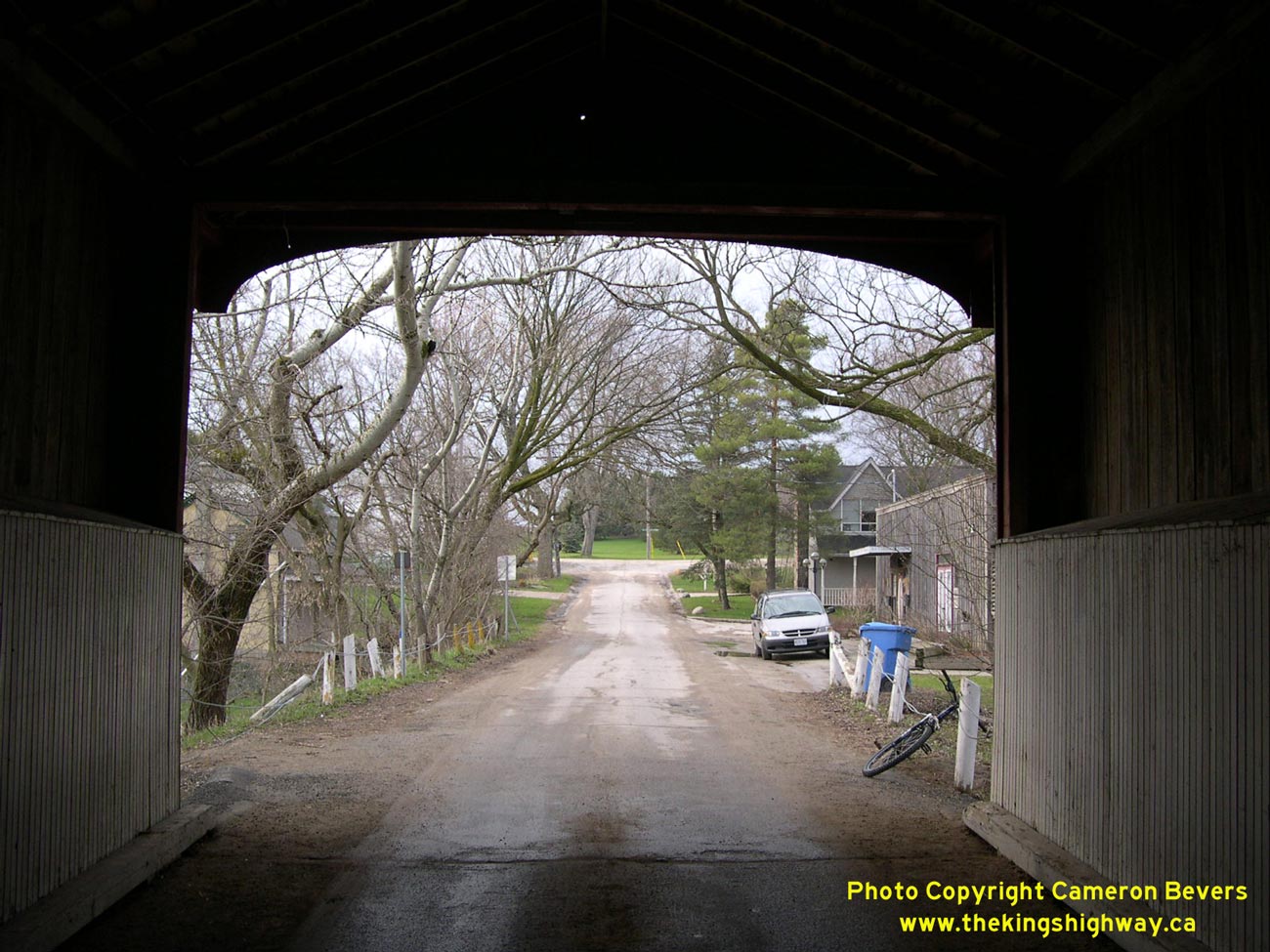
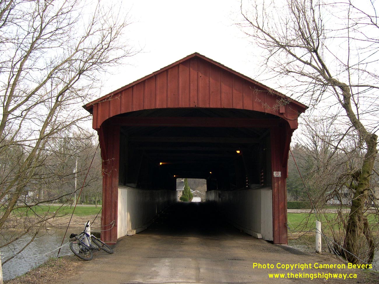
Left - Facing north inside the West Montrose Covered Bridge. See an
Enlarged Photo Here. (Photograph taken on April 17, 2004 - © Cameron Bevers) Right - Looking north out of the West Montrose Bridge's north portal. See an Enlarged Photo Here. (Photograph taken on April 17, 2004 - © Cameron Bevers) 
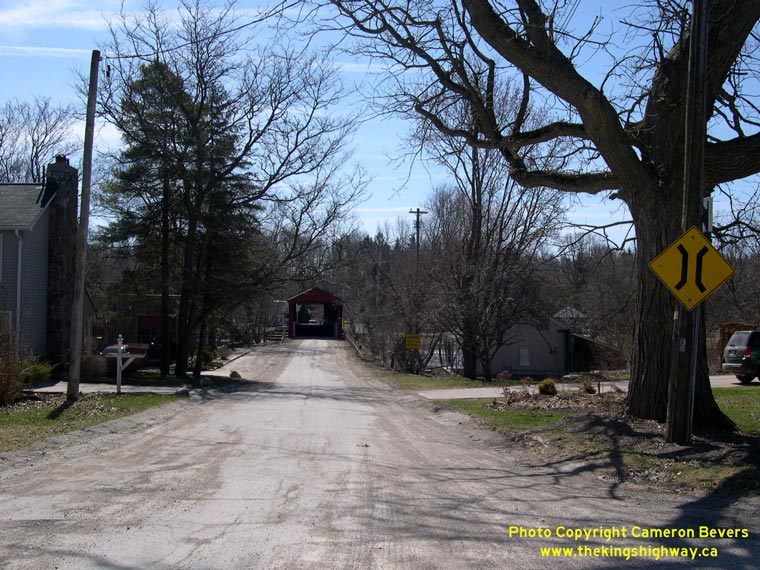
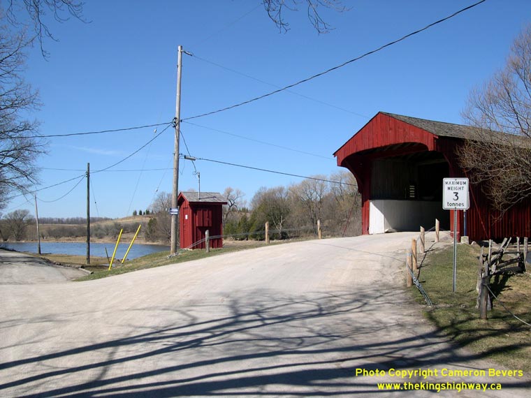
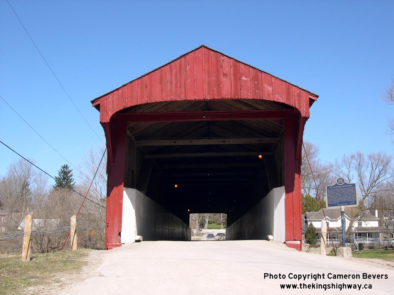
Left - North portal of West Montrose Covered Bridge. See an
Enlarged Photo Here. (Photograph taken on April 17, 2004 - © Cameron Bevers) Right - Looking east towards Guelph along Old Hwy 86 in West Montrose. See an Enlarged Photo Here. (Photograph taken on April 9, 2005 - © Cameron Bevers) 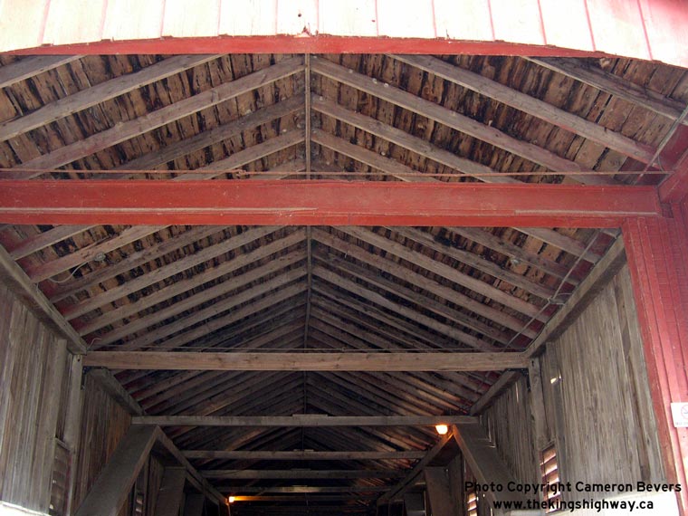

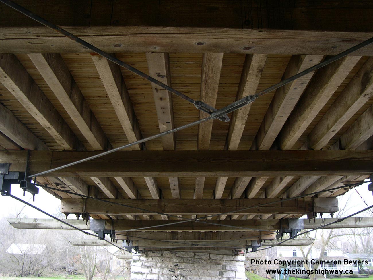
Left - A more detailed interior shot of the ceiling beams and the wooden roof. See an
Enlarged Photo Here. (Photograph taken on April 17, 2004 - © Cameron Bevers) Right - Close-up of the shuttered windows on the western side of the West Montrose Bridge. See an Enlarged Photo Here. (Photograph taken on April 17, 2004 - © Cameron Bevers) 
Left - View of the wooden deck of West Montrose Covered Bridge. See an
Enlarged Photo Here. (Photograph taken on April 17, 2004 - © Cameron Bevers) Right - Approach to the south portal of the West Montrose Bridge. See an Enlarged Photo Here. (Photograph taken on April 9, 2005 - © Cameron Bevers) 
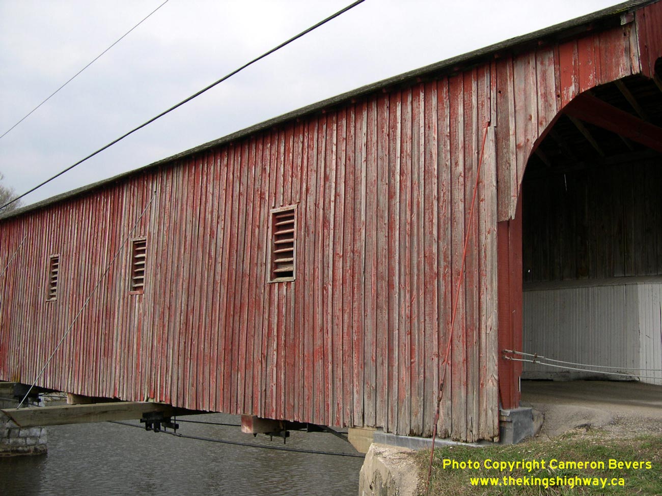
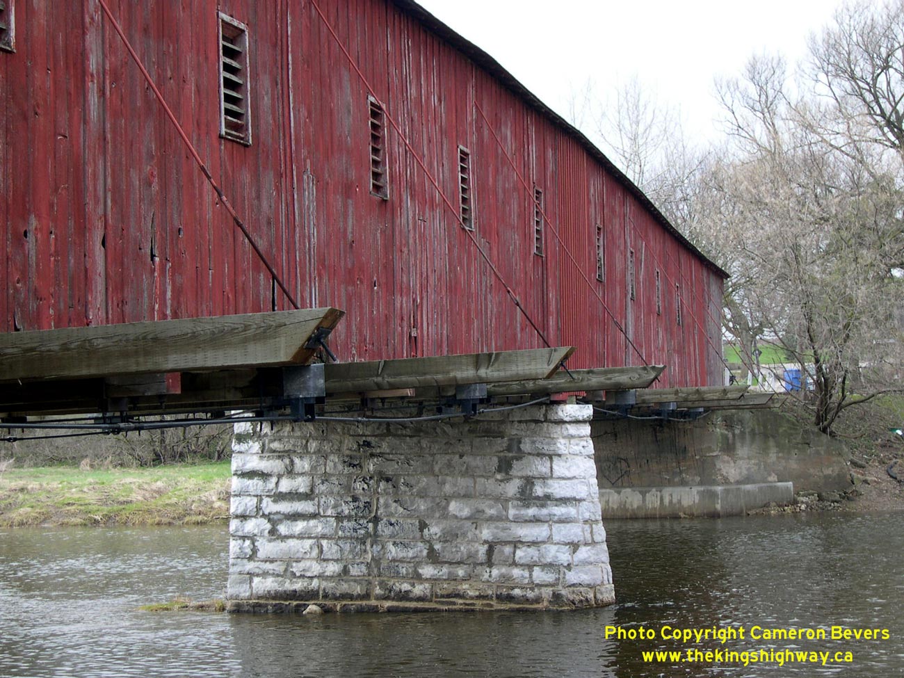
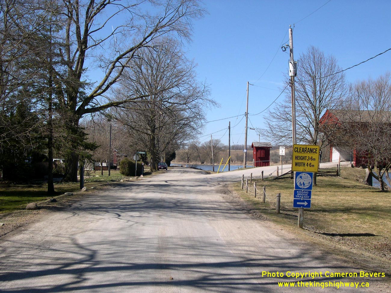
Left - Close-up of eastern side of West Montrose Bridge, and stone centre pier. See an
Enlarged Photo Here. (Photograph taken on April 17, 2004 - © Cameron Bevers) Right - Looking west towards Elmira on Old Hwy 86 from West Montrose. See an Enlarged Photo Here. (Photograph taken on April 9, 2005 - © Cameron Bevers) 
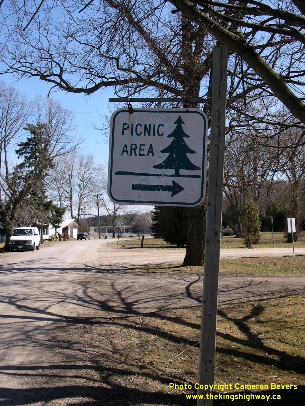
Above - Old Department of Highways Picnic Area sign on Old Hwy 86 at West Montrose. See an
Enlarged Photo Here. (Photograph taken on April 9, 2005 - © Cameron Bevers) 

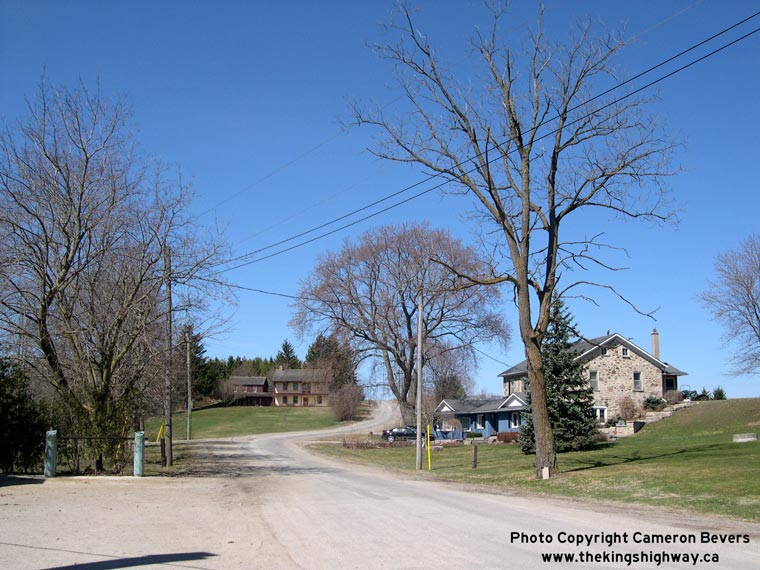
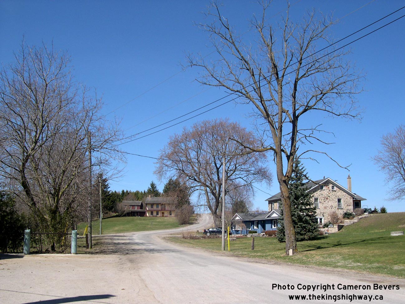
Left - Approaching West Montrose on Old Hwy 86 from Guelph, facing west towards Elmira. See an
Enlarged Photo Here. (Photograph taken on April 9, 2005 - © Cameron Bevers) Right - Facing east towards Guelph along Old Hwy 86 alignment at West Montrose. Note the new West Montrose Bypass bridge crossing the river in the background. See an Enlarged Photo Here. (Photograph taken on April 9, 2005 - © Cameron Bevers) 
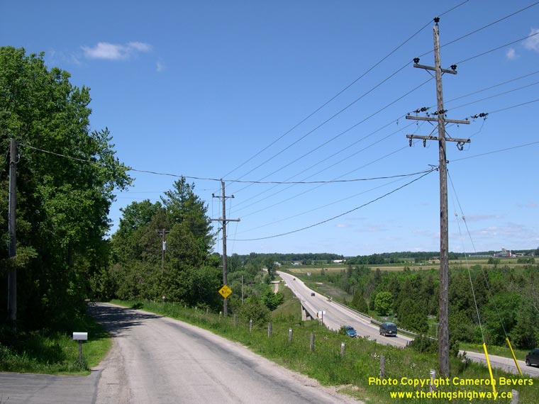
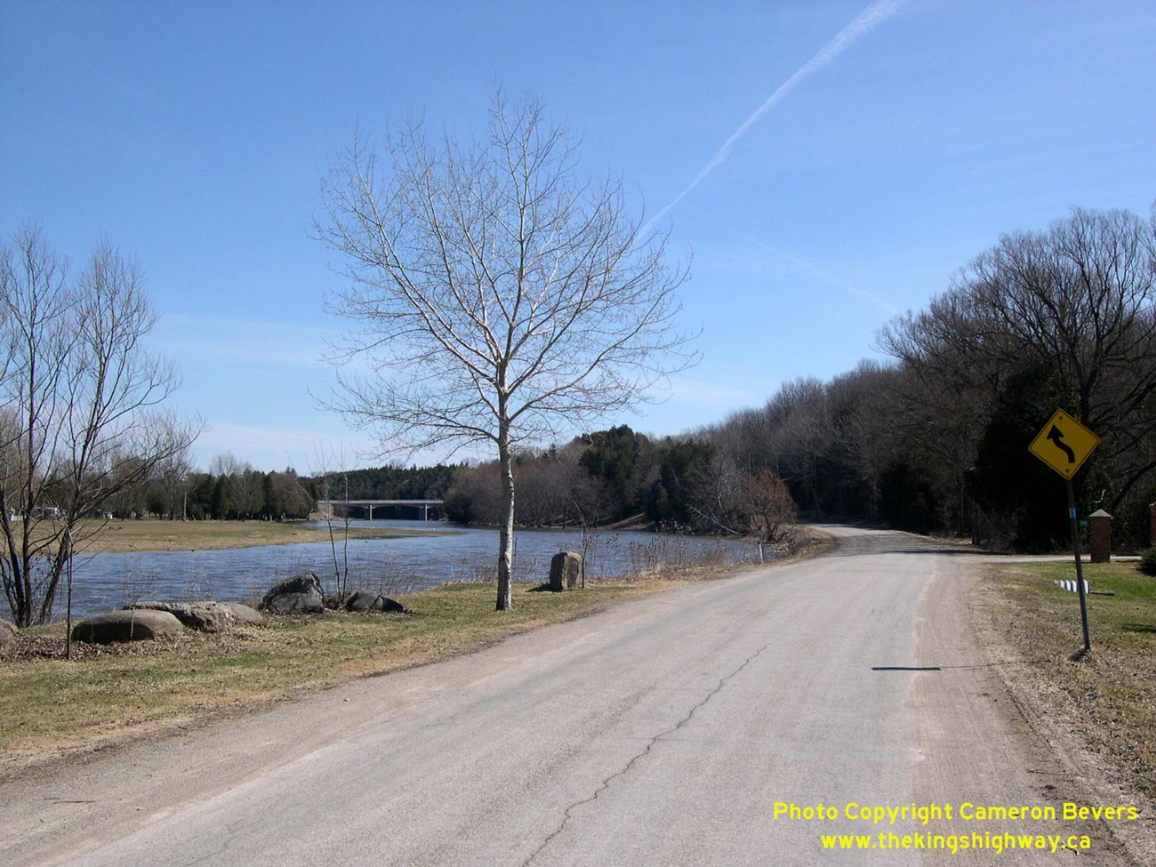
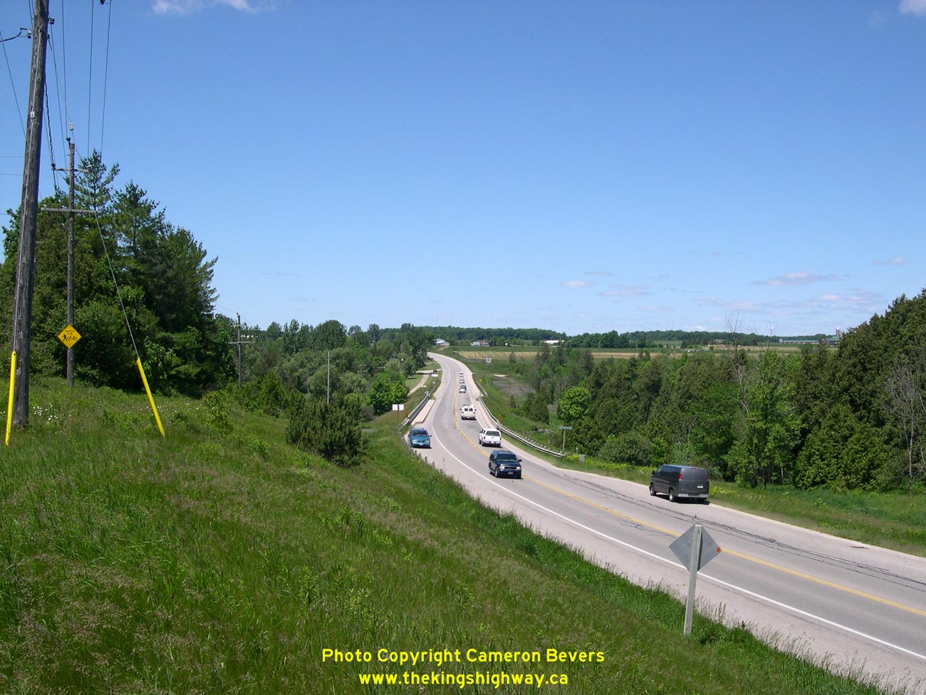
Left - West Montrose Bypass, facing west towards Elmira. See an
Enlarged Photo Here. (Photograph taken on June 10, 2006 - © Cameron Bevers) Right - Original 1937 highway alignment at left winds slowly into West Montrose, while through traffic whizzes by on the newer 1950s bypass at right. See an Enlarged Photo Here. (Photograph taken on June 10, 2006 - © Cameron Bevers)
More King's Highway 86B (West Montrose) Photographs Coming Soon!
|
|---|
Links to Adjacent King's Highway Photograph Pages:
Back to King's Highway 86 Photos /
King's Highway 86B (West Montrose) History /
On to King's Highway 87 Photos
Ontario Highway History - Main Menu / Back to List of Highways Website contents, photos & text © 2002-2026, Cameron
Bevers (Webmaster) - All Rights Reserved / Contact Me
|
|---|