
| 
| |
|
|
This page contains present day photos (Year 2000 to date) of Ontario's King's Highway 8, arranged by location from Hamilton
easterly to Niagara Falls. All photographs displayed on this page were taken by the Webmaster (Cameron Bevers), unless specifically noted otherwise. Click on any
thumbnail to see a larger image!
Please note that all photographs displayed on this
website are protected by copyright. These photographs must not be reproduced, published,
electronically stored or copied, distributed, or posted onto other websites without
my written permission. If you want to use photos from this website, please
email me first for permission. Thank-you!
|
|---|
|
Page 10: Present Day King's Highway 8 Photographs (Hamilton to Niagara Falls)
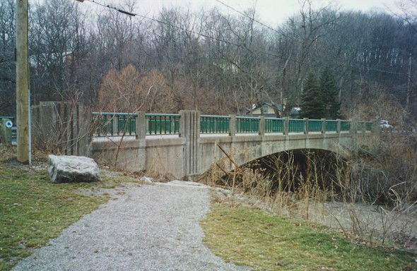
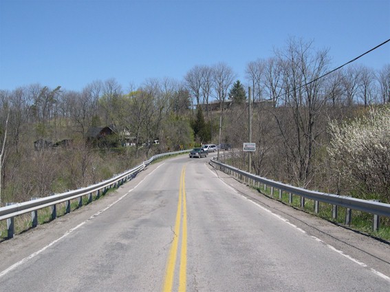
Left - Bridge at Jordan over 20 Mile Creek in 2003. Structure was completed in 1936. (Photograph taken in March, 2003 - © Cameron Bevers) Right - View along Old Hwy 8 West across 20 Mile Creek Bridge, looking towards Beamsville. (Photograph taken in March, 2003 - © Cameron Bevers) 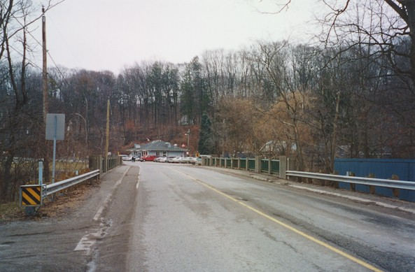
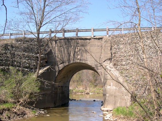
Left - View along Old Hwy 8 East across 20 Mile Creek Bridge, looking towards Jordan. (Photograph taken in March, 2003 - © Cameron Bevers) Right - Unusual triple-arch design of the Jordan Bridge on Old Hwy 8. North side shown. (Photograph taken in March, 2003 - © Cameron Bevers) 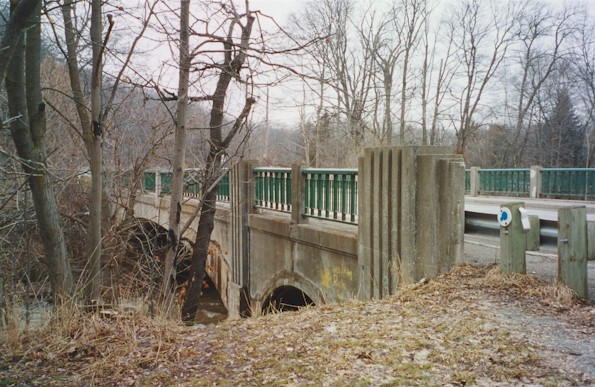
Left - Unique embossed concrete railings on Jordan Bridge at 20 Mile Creek. (Photograph taken in March, 2003 - © Cameron Bevers) Right - Close-up of bridge abutment and unusual approach arch on Jordan Bridge. (Photograph taken in March, 2003 - © Cameron Bevers) 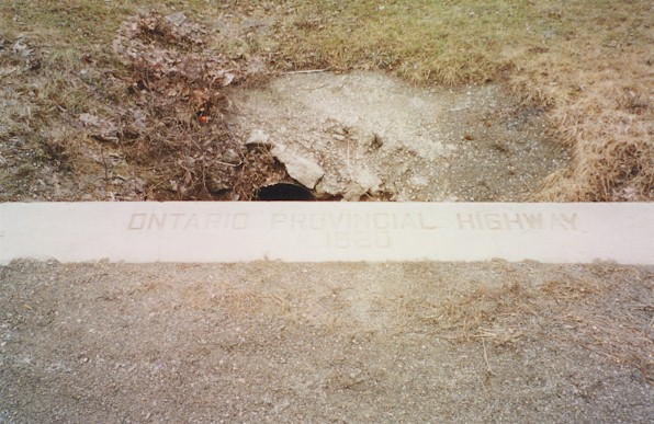
Above - Inscription on culvert east of Beamsville - "ONTARIO PROVINCIAL HIGHWAY 1920" (Photograph taken in March, 2003 - © Cameron Bevers) 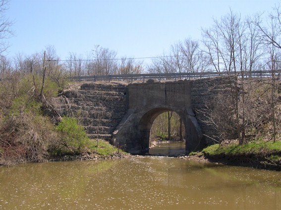
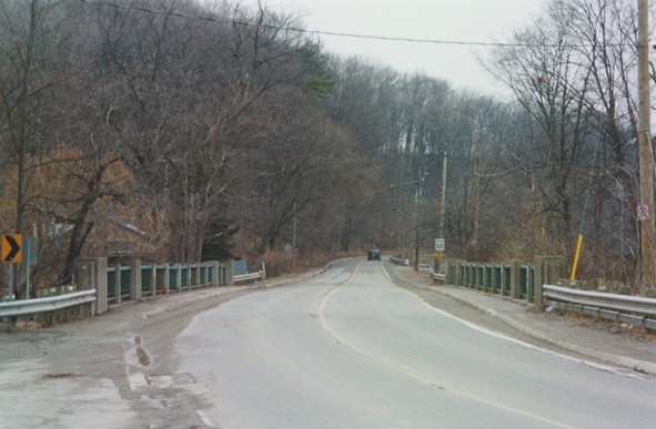
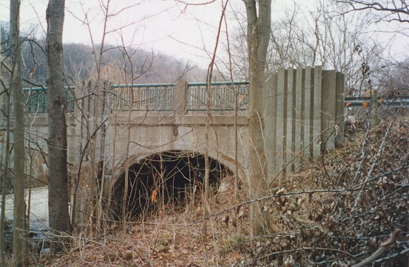
Left - Northern side of Fifteen Mile Creek arch bridge on Old Hwy 8 near St. Catharines (Photograph taken on May 8, 2005 - © Cameron Bevers) Right - South side of old concrete arch bridge over Fifteen Mile Creek on Old Hwy 8 (Photograph taken on May 8, 2005 - © Cameron Bevers) 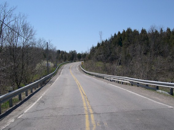
Left - Facing west towards Beamsville on Old Hwy 8 at Fifteen Mile Creek Bridge (Photograph taken on May 8, 2005 - © Cameron Bevers) Right - Facing east towards St. Catharines on Old Hwy 8 at Fifteen Mile Creek Bridge (Photograph taken on May 8, 2005 - © Cameron Bevers) 
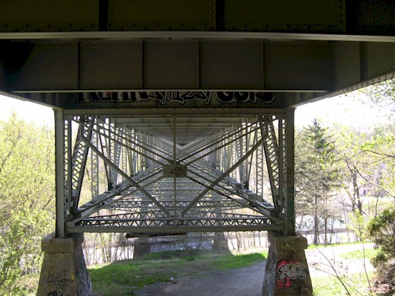
Left - View of Hwy 406 and Burgoyne Bridge on St. Paul Street (Old Hwy 8) in St. Catharines (Photograph taken on May 8, 2005 - © Cameron Bevers) Right - View of the intricate deck truss design of the Burgoyne Bridge carrying Old Hwy 8 across Twelve Mile Creek in St. Catharines (Photograph taken on May 8, 2005 - © Cameron Bevers) 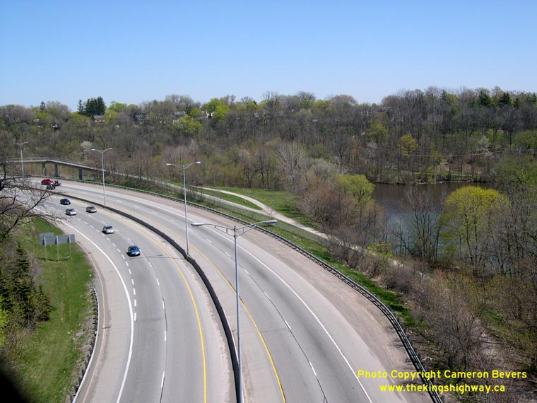

Left - Facing south along Hwy 406 from the St. Paul Street (Old Hwy 8) Overpass in St. Catharines. (Photograph taken on May 8, 2005 - © Cameron Bevers) Right - A pedestrian overpass was built across Hwy 406 just south of St. Paul Street (Old Hwy 8). See an Enlarged Photo here. (Photograph taken on May 8, 2005 - © Cameron Bevers) 

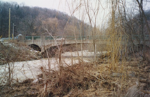
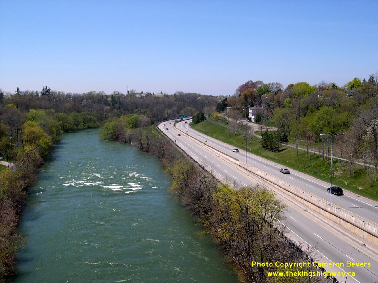
Left - View of Twelve Mile Creek and Hwy 406 from the St. Paul Street Overpass (Burgoyne Bridge). See an
Enlarged Photo here. (Photograph taken on May 8, 2005 - © Cameron Bevers) Right - Facing north along Hwy 406 from the St. Paul Street (Old Hwy 8) Overpass in St. Catharines. See an Enlarged Photo here. (Photograph taken on May 8, 2005 - © Cameron Bevers)
More King's Highway 8 Photographs Coming Soon!
|
|---|
Links to Adjacent King's Highway Photograph Pages:
Back to King's Highway 7 Photos /
King's Highway 8 History /
On to King's Highway 9 Photos
Ontario Highway History - Main Menu / Back to List of Highways Website contents, photos & text © 2002-2026, Cameron
Bevers (Webmaster) - All Rights Reserved / Contact Me
|
|---|