
| 
| |
|
|
This page contains historical and present day photos of Ontario's King's Highway 98B. All photographs displayed on
this page were taken by the Webmaster (Cameron Bevers), unless specifically noted otherwise. Historical photographs are arranged in approximate chronological order,
while present day photographs (Year 2010 to date) are arranged by location from south to north. Click on any thumbnail to see a larger image!
Please note that all photographs displayed on this
website are protected by copyright. These photographs must not be reproduced, published,
electronically stored or copied, distributed, or posted onto other websites without
my written permission. If you want to use photos from this website, please
email me first for permission. Thank-you!
|
|---|
|
Historical King's Highway 98B Photographs

Above - Circa 1962 postcard view of Queen Street (Hwy 98B) in Downtown Tilbury, facing south near Smith Street. See an
Enlarged Photo Here. (Photo courtesy of Len Leiffer) |
|---|
|
Present Day King's Highway 98B Photographs
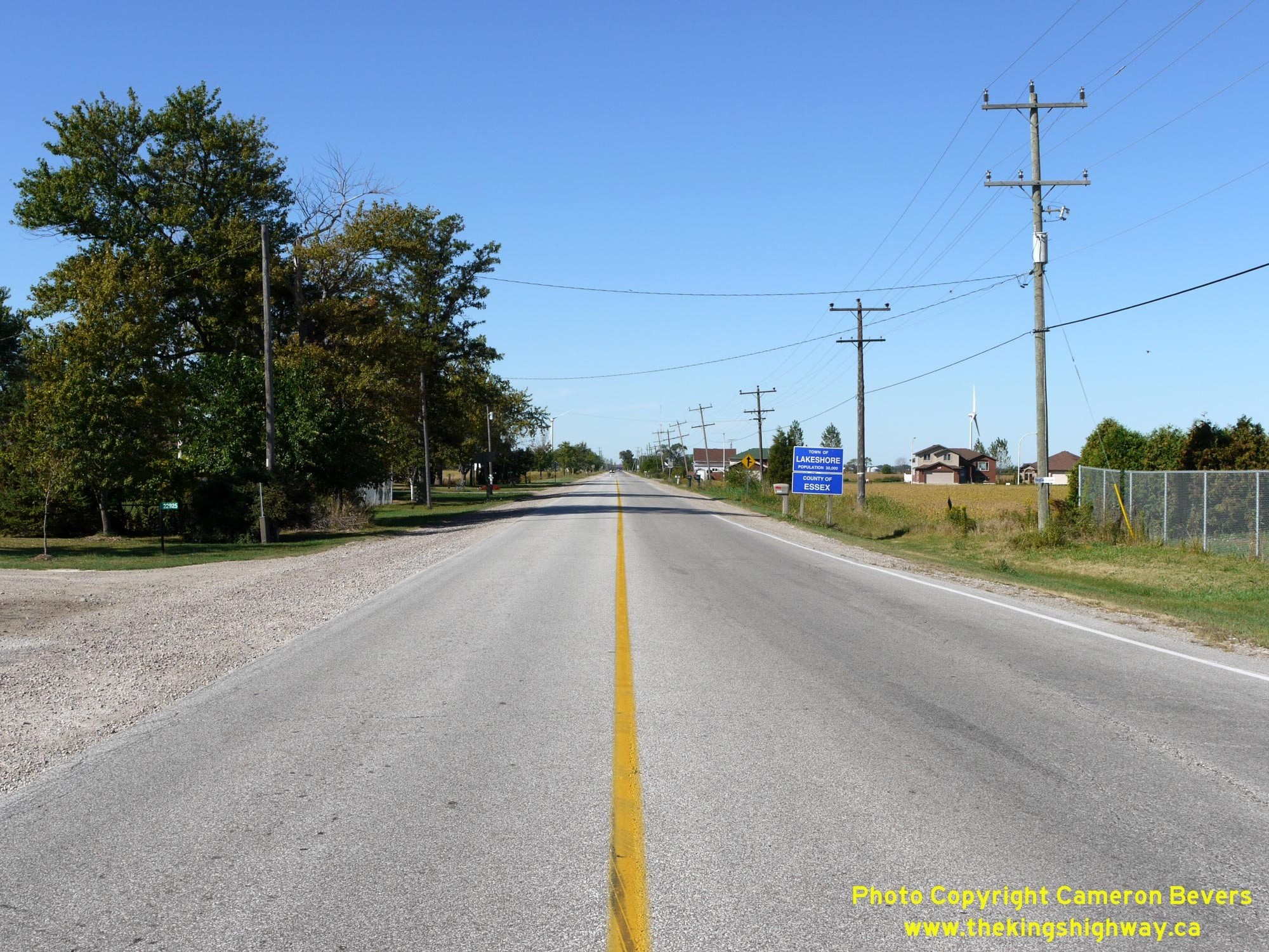
Left - Facing west along Middle Line (Old Hwy 98) towards Windsor from Queen Street (Old Hwy 98B) in Tilbury. Queen Street marks the boundary line between
the County of Essex and the neighbouring Municipality of Chatham-Kent. West of the intersection, Former Hwy 98 is known as Essex County Road 46. East of Tilbury,
Former Hwy 98 is known as Chatham-Kent Road 8. See an Enlarged Photo Here. (Photograph taken on September 14, 2010 - © Cameron Bevers) Right - Junction of Former Hwy 98 & Former Hwy 98B in Tilbury, facing east. Up until the early 1940s, the route of Hwy 98 curved to the left at this point into Tilbury's town centre. In 1941, Hwy 98 was extended easterly from Tilbury through Kent County to Blenheim, where Hwy 98 connected to Hwy 3. The 1941 extension added another 25 miles to the length of Hwy 98. See an Enlarged Photo Here. (Photograph taken on September 14, 2010 - © Cameron Bevers) 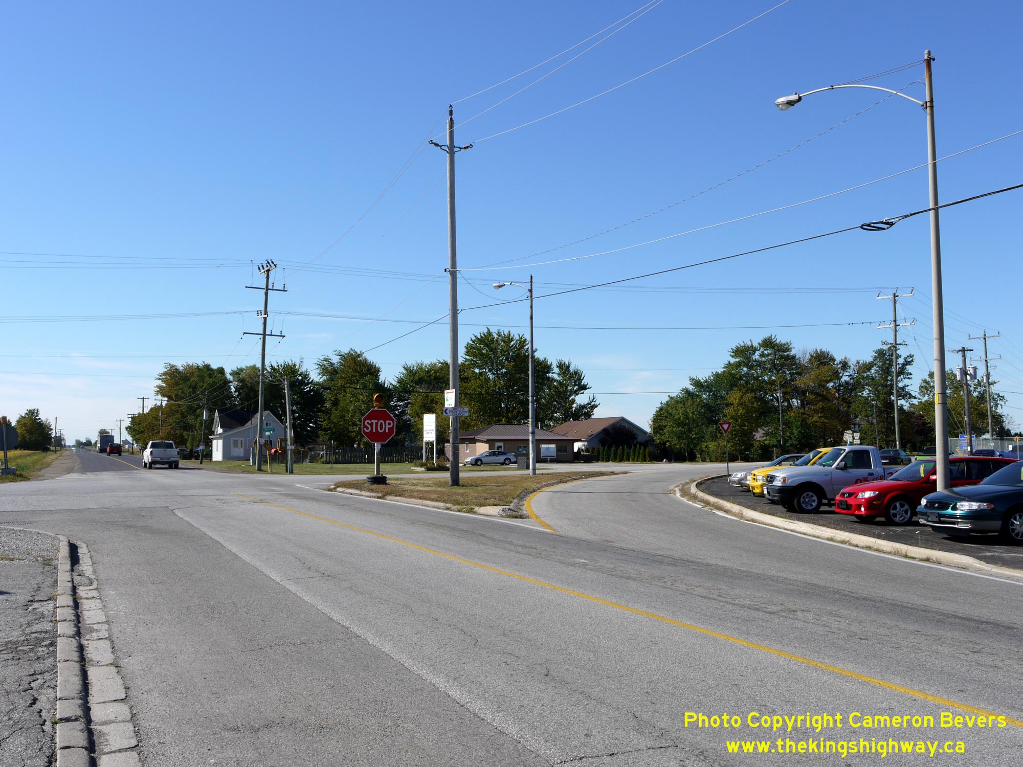
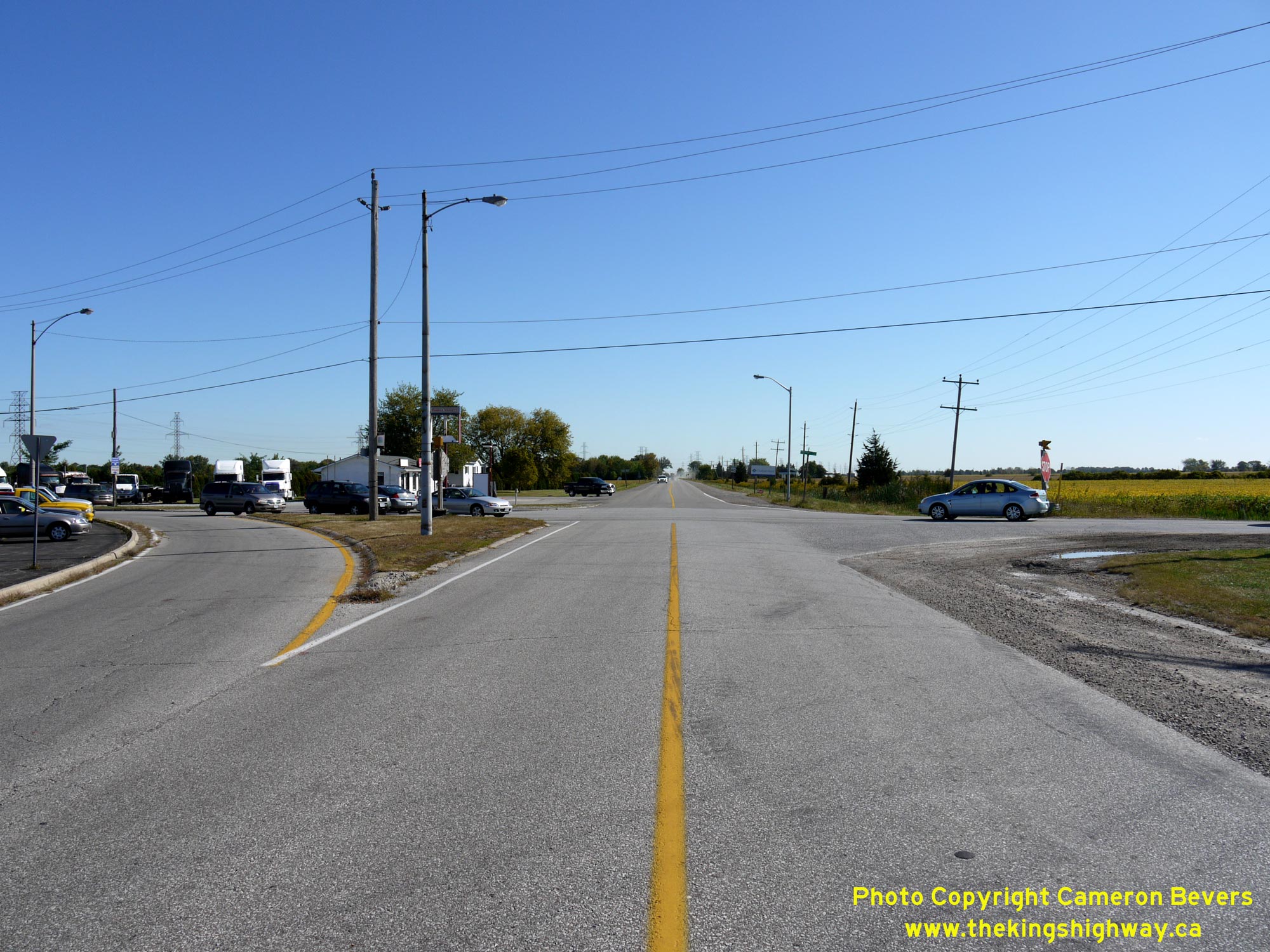
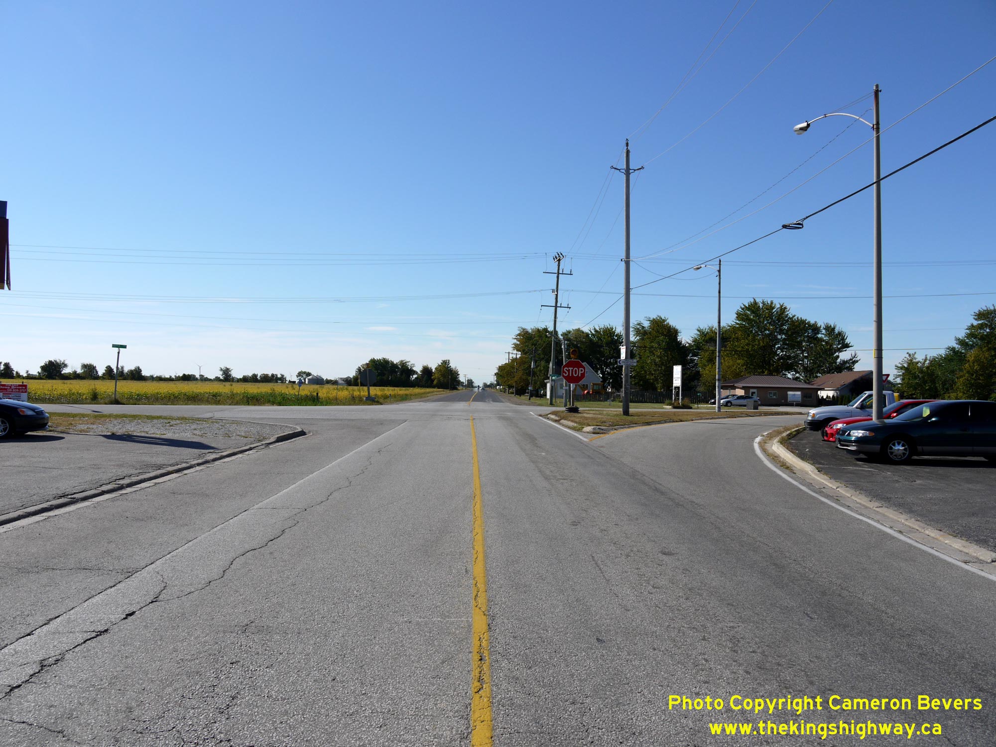
Left - Facing south along Queen Street (Old Hwy 98B) approaching Middle Line (Old Hwy 98). Up until 1941, Hwy 98 curved to the right at this intersection on
its route westerly towards Windsor. The extension of Hwy 98 from Tilbury easterly to Blenheim in 1941 bypassed about 1 mile of Hwy 98's original route. This bypassed
section of the highway via Tilbury's Queen Street ultimately became Hwy 98B. Even today, the original historical route of Hwy 98 heading south out of Tilbury features
a channelized right-turn ramp, giving some clues to observers that this was once the predominant traffic movement at this intersection. See an
Enlarged Photo Here. (Photograph taken on September 14, 2010 - © Cameron Bevers) Right - View of Middle Line (Old Hwy 98), facing east towards Blenheim from Queen Street (Old Hwy 98B) in Tilbury. The Department of Highways of Ontario (DHO) assumed jurisdiction over this easterly extension of Hwy 98 effective April 30, 1941, making this one of the few instances where a new King's Highway route was added to the provincial highway network during World War II. See an Enlarged Photo Here. (Photograph taken on September 14, 2010 - © Cameron Bevers) 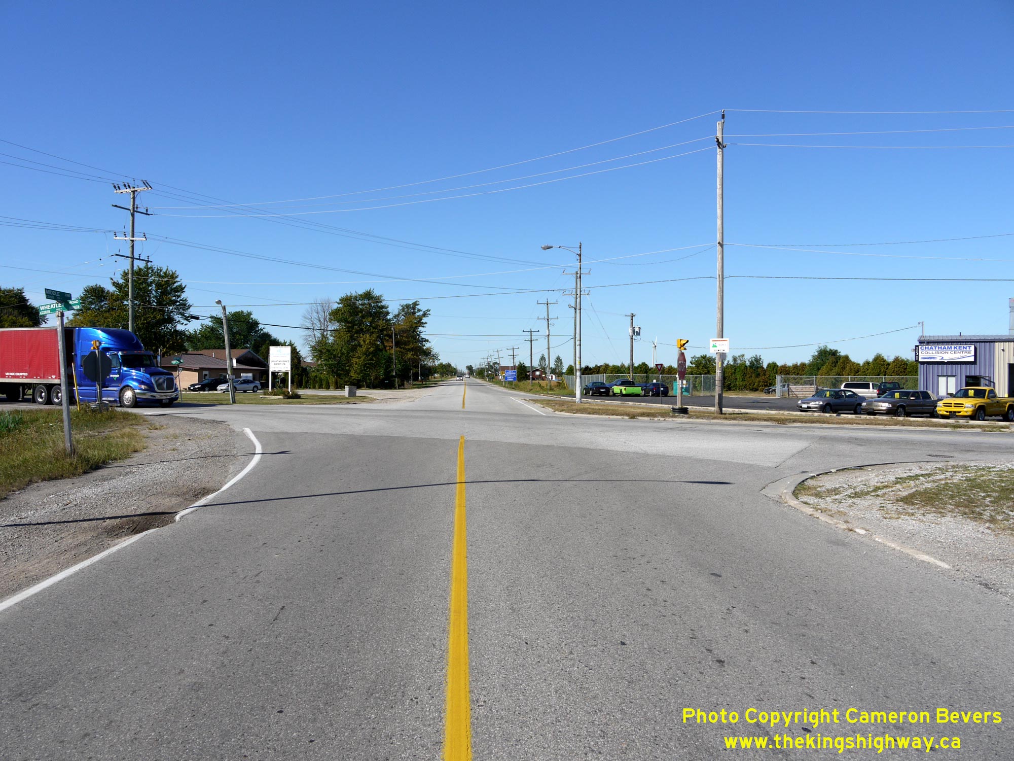
Left - Facing west along Middle Line (Old Hwy 98) towards Windsor at Queen Street (Old Hwy 98B) in Tilbury. See an
Enlarged Photo Here. (Photograph taken on September 14, 2010 - © Cameron Bevers) Right - Southern terminus of Old Hwy 98B at the Old Hwy 98 Junction in Tilbury. A series of old DHO luminaires from the 1950s still provide illumination over this intersection. It is believed that these luminaires were installed during a reconstruction project along Hwy 98 which took place in this area in 1958. See an Enlarged Photo Here. (Photograph taken on September 14, 2010 - © Cameron Bevers) 

Left - Facing north along Queen Street (Old Hwy 98B) from Middle Line (Old Hwy 98) in Tilbury. See an
Enlarged Photo Here. (Photograph taken on September 14, 2010 - © Cameron Bevers) Right - View of Queen Street (Old Hwy 98B) in Downtown Tilbury approaching Canal Street, facing north. With its distinctive clock tower, Tilbury's post office building can be seen on the northwest corner of Queen Street and Canal Street. It is Tilbury's most prominent landmark and can be seen from a considerable distance away. See an Enlarged Photo Here. (Photograph taken on September 14, 2010 - © Cameron Bevers) 

Left - Facing south along Queen Street (Old Hwy 98B) towards Canal Street in Downtown Tilbury. See an
Enlarged Photo Here. (Photograph taken on September 14, 2010 - © Cameron Bevers) Right - View of Queen Street (Old Hwy 98B) in Downtown Tilbury, facing north approaching Prospect Street. See an Enlarged Photo Here. (Photograph taken on September 14, 2010 - © Cameron Bevers) 
Left - Facing south along Queen Street (Old Hwy 98B) near Smith Street in Tilbury. This photo was taken from approximately the same location as the
Historical Photo shown above, which was taken in the early 1960s. See an
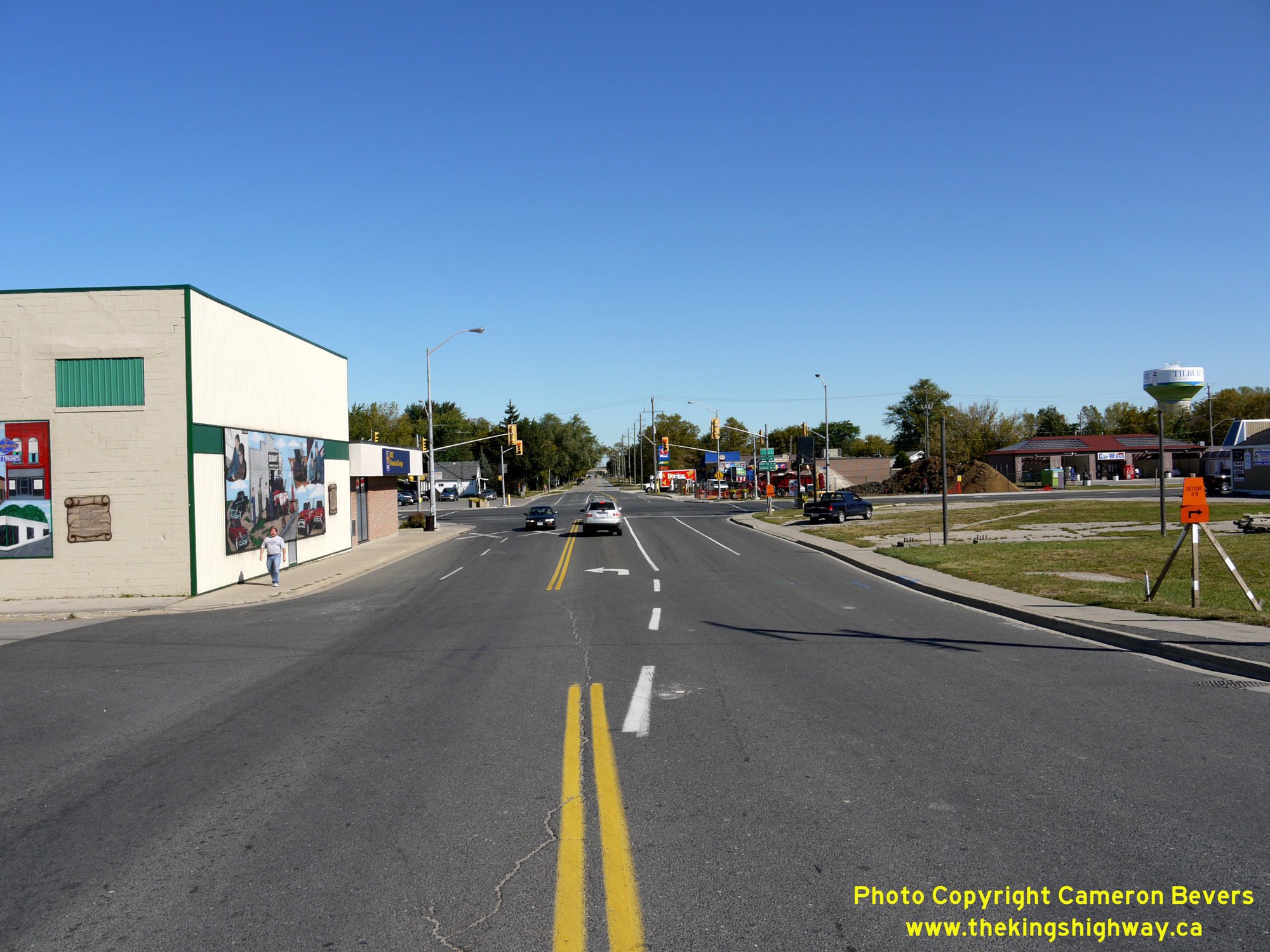
Enlarged Photo Here. (Photograph taken on September 14, 2010 - © Cameron Bevers) Right - Approaching the northern terminus of Old Hwy 98B at the Hwy 2 Junction in Tilbury. From here, motorists can either turn left onto Hwy 2 and head west towards Windsor or turn right onto Hwy 2 and head east towards Chatham. Motorists can also access Hwy 401 via interchanges along Hwy 2 at both the east and west entrances to Tilbury. See an Enlarged Photo Here. (Photograph taken on September 14, 2010 - © Cameron Bevers) 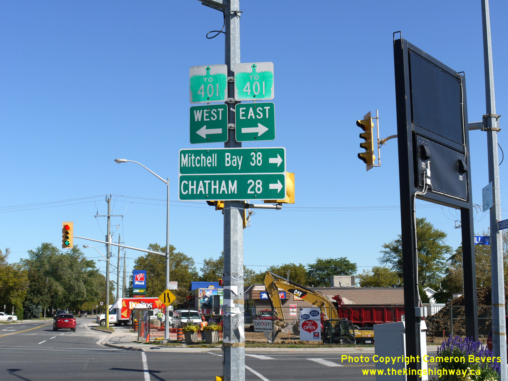

Left - Guide signs at the Old Hwy 98B Junction at Hwy 2 in Tilbury. The route of Hwy 401 is also trailblazed at this junction. See an
Enlarged Photo Here. (Photograph taken on September 14, 2010 - © Cameron Bevers) Right - Approaching the Old Hwy 98B Junction at Queen Street on Mill Street (Hwy 2) in Tilbury, facing west towards Windsor. See an Enlarged Photo Here. (Photograph taken on September 14, 2010 - © Cameron Bevers) 
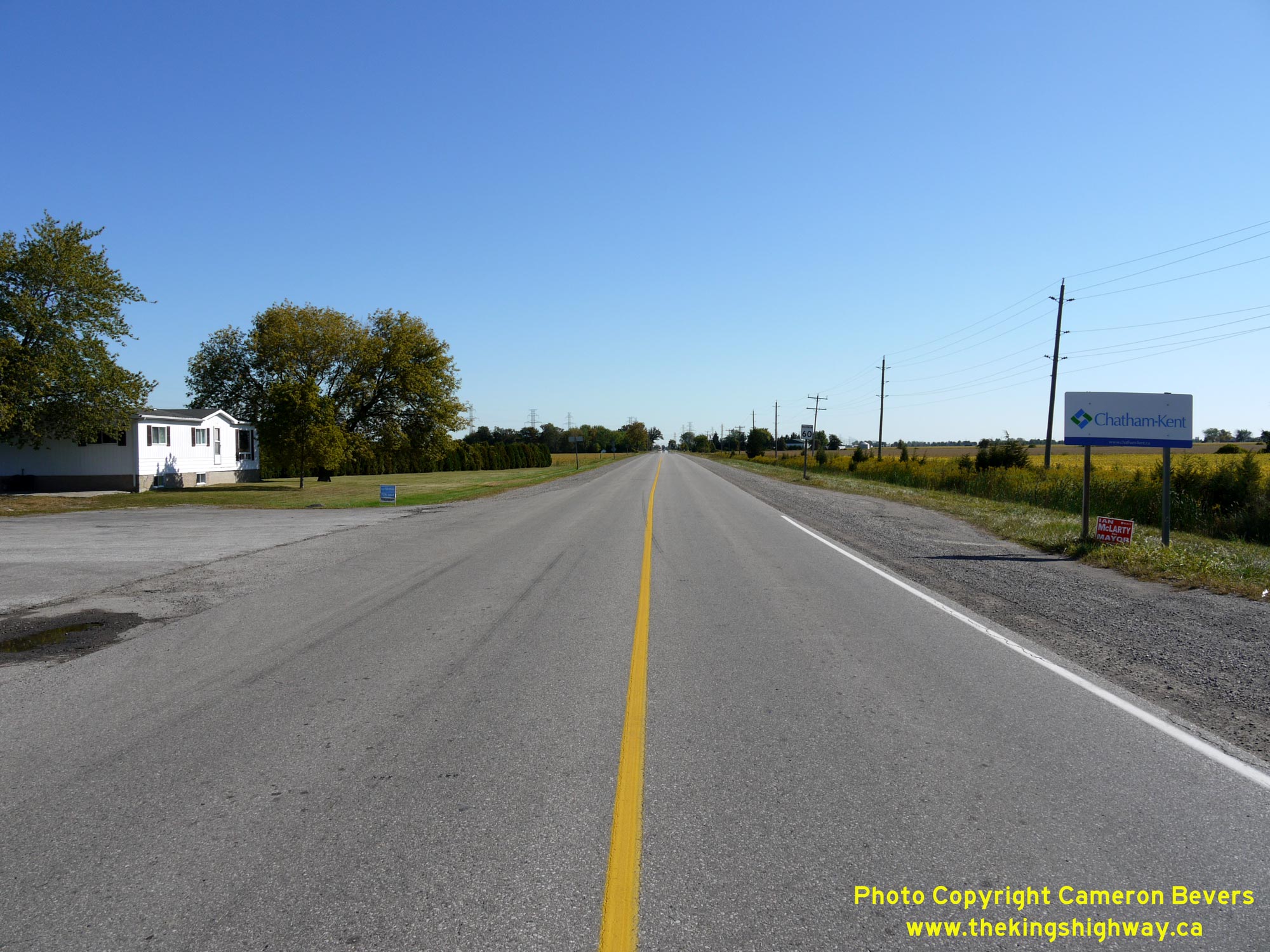
Above - Facing east along Hwy 2 (Mill Street) towards Chatham from the Old Hwy 98B Junction at Queen Street in Tilbury. This section of Hwy 2 is actually a
diversion of the original highway, which was constructed in the mid-1930s. The Tilbury Diversion was constructed in 1935, which saw Tilbury's Mill Street extended
easterly for almost 3 miles out of town. This major diversion of Hwy 2 eliminated two at-grade railway crossings along the original route of Hwy 2, and greatly
improved the highway's alignment by removing two awkward turns on Hwy 2 within Tilbury. The route of Hwy 2 previously followed Canal Street, Pollard Line and Bonneau
Line easterly out of Tilbury. See an Enlarged Photo Here. (Photograph taken on September 14, 2010 - © Cameron Bevers) |
|---|
Links to Adjacent King's Highway Photograph Pages:
Back to King's Highway 98 Photos /
King's Highway 98B History /
On to King's Highway 99 Photos
Ontario Highway History - Main Menu / Back to List of Highways Website contents, photos & text © 2002-2026, Cameron
Bevers (Webmaster) - All Rights Reserved / Contact Me
|
|---|