
| 
| |
|
|
All photographs displayed on this page were taken by the
Webmaster (Cameron Bevers). Photographs are arranged by location from west to east. See a
Hwy 10 Route Map here. To view
photos of other Alaska Highways, please select a highway number listed on the
Alaska Photograph Index Page.
Click on any thumbnail to see a larger image!
Please note that all photographs displayed on this
website are protected by copyright. These photographs must not be reproduced, published,
electronically stored or copied, distributed, or posted onto other websites without
my written permission. If you want to use photos from this website, please
email me first for permission. Thank-you!
|
|---|
|
Alaska Highway 10 (Edgerton Highway) Photographs


Left - Distance guide sign on the Southbound Richardson Highway (Hwy 4) at the Edgerton Highway (Hwy 10) Junction near Tonsina. It is 81 miles to Valdez via
the Richardson Highway. (Photograph taken on June 9, 2012 - © Cameron Bevers) Right - Facing north along the Richardson Highway (Hwy 4) approaching the Edgerton Highway (Hwy 10) Junction. Note the interesting Hwy 4 & Hwy 10 Junction sign at right. (Photograph taken on June 9, 2012 - © Cameron Bevers) 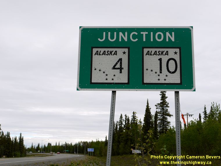
Left - Close-up view of the Hwy 4 & Hwy 10 Junction sign on the Northbound Richardson Highway. This was the only sign of this style that I found in Alaska. (Photograph taken on June 9, 2012 - © Cameron Bevers) Right - Facing south along the Richardson Highway (Hwy 4) towards Tonsina from the Edgerton Highway (Hwy 10) Junction. (Photograph taken on June 9, 2012 - © Cameron Bevers) 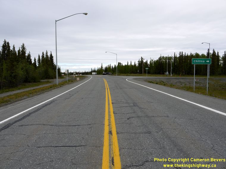
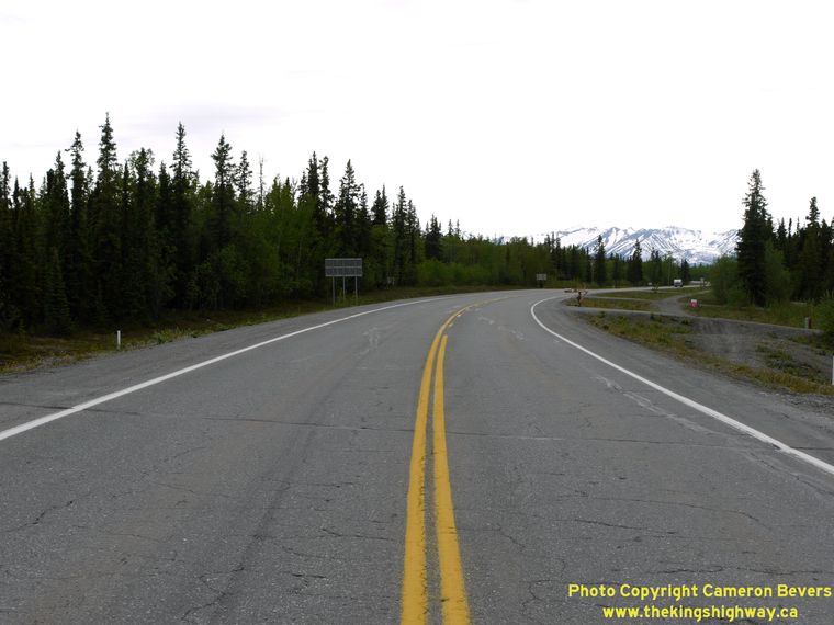
Left - Facing north along the Richardson Highway (Hwy 4) at the Edgerton Highway (Hwy 10) Junction. (Photograph taken on June 9, 2012 - © Cameron Bevers) Right - Facing south along the Richardson Highway (Hwy 4) at the Edgerton Highway (Hwy 10) Junction. (Photograph taken on June 9, 2012 - © Cameron Bevers) 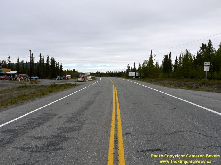
Left - Facing north along the Richardson Highway (Hwy 4) towards Glennallen from the Edgerton Highway (Hwy 10) Junction near Tonsina. (Photograph taken on June 9, 2012 - © Cameron Bevers) Right - Western terminus of the Edgerton Highway (Hwy 10) at the Richardson Highway (Hwy 4). From here, motorists can turn left and follow the Richardson Highway south to Valdez or turn right and follow the Richardson Highway north to Glennallen. (Photograph taken on June 9, 2012 - © Cameron Bevers) 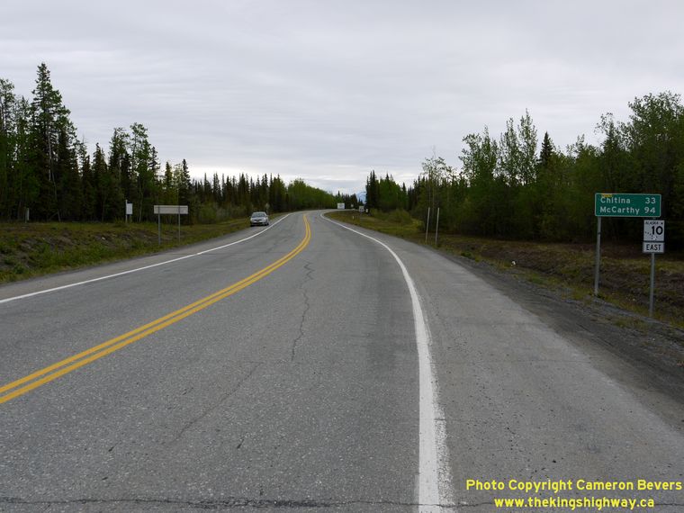

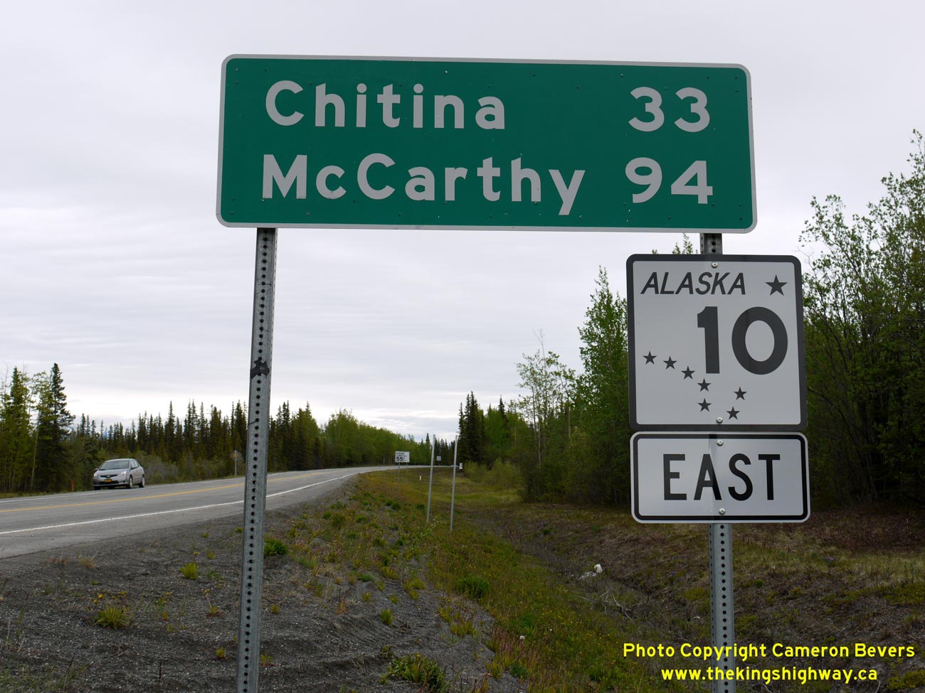
Left - Facing east along the Edgerton Highway (Hwy 10) from the Richardson Highway (Hwy 4) Junction near Tonsina. (Photograph taken on June 9, 2012 - © Cameron Bevers) Right - Close-up of the distance guide sign on the Edgerton Highway (Hwy 10). The Edgerton Highway ends 33 miles ahead at Chitina, but a seasonal road extends as far as McCarthy. Another section of Hwy 10 exists in the Cordova area, known as the Copper River Highway. However, it is discontinuous and does not connect to the rest of the state highway system. The Copper River Highway is only accessible by ferry via the Alaska Marine Highway System. See an Enlarged Photo Here. (Photograph taken on June 9, 2012 - © Cameron Bevers) 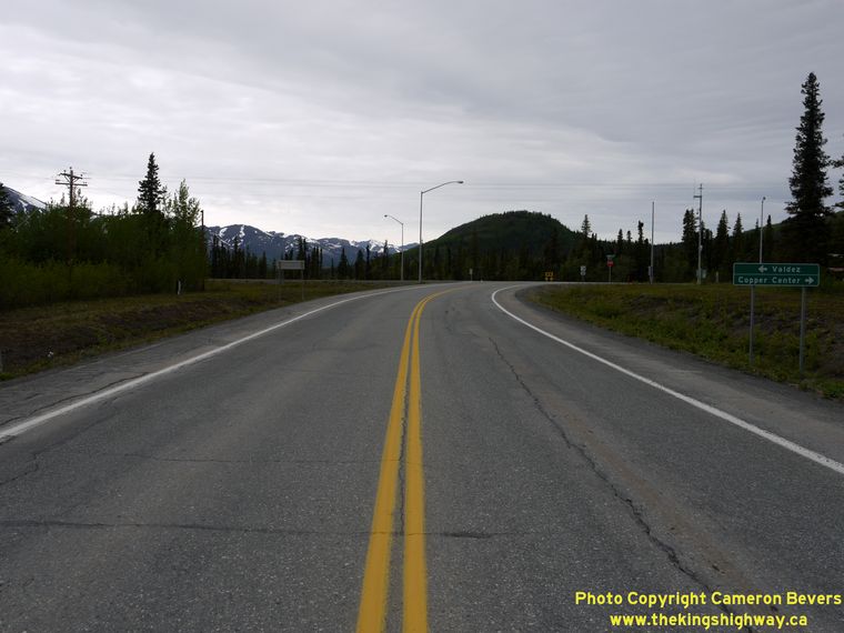

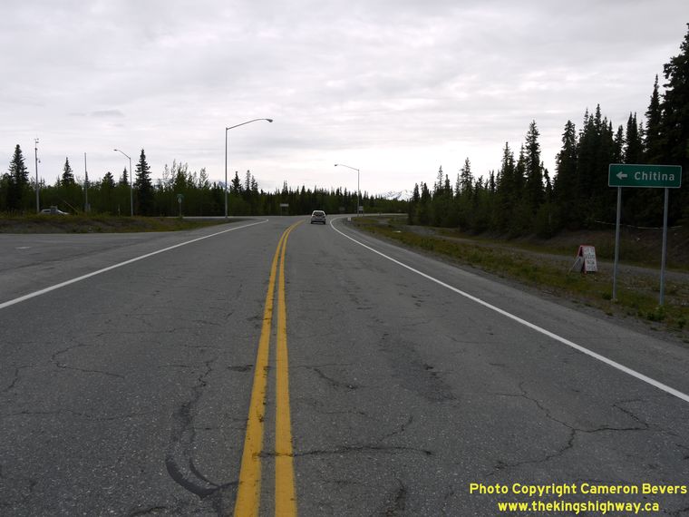
Left - Approaching the western terminus of the Edgerton Highway (Hwy 10) at the Richardson Highway (Hwy 4). (Photograph taken on June 9, 2012 - © Cameron Bevers) Right - Facing east along the Edgerton Highway (Hwy 10), just east of the Richardson Highway (Hwy 4) Junction. See an Enlarged Photo Here. (Photograph taken on June 10, 2012 - © Cameron Bevers) 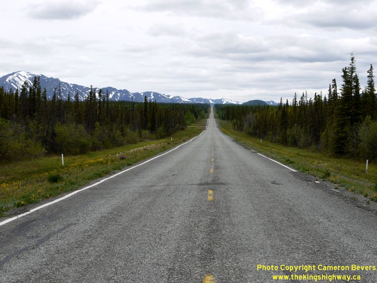
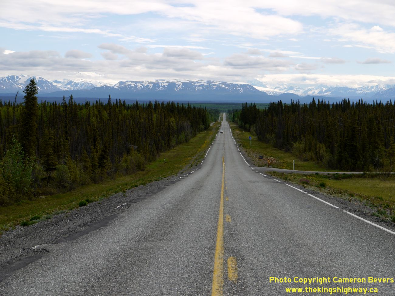
Left - Facing west towards the Richardson Highway Junction along the Edgerton Highway (Hwy 10) near Kenny Lake. See an
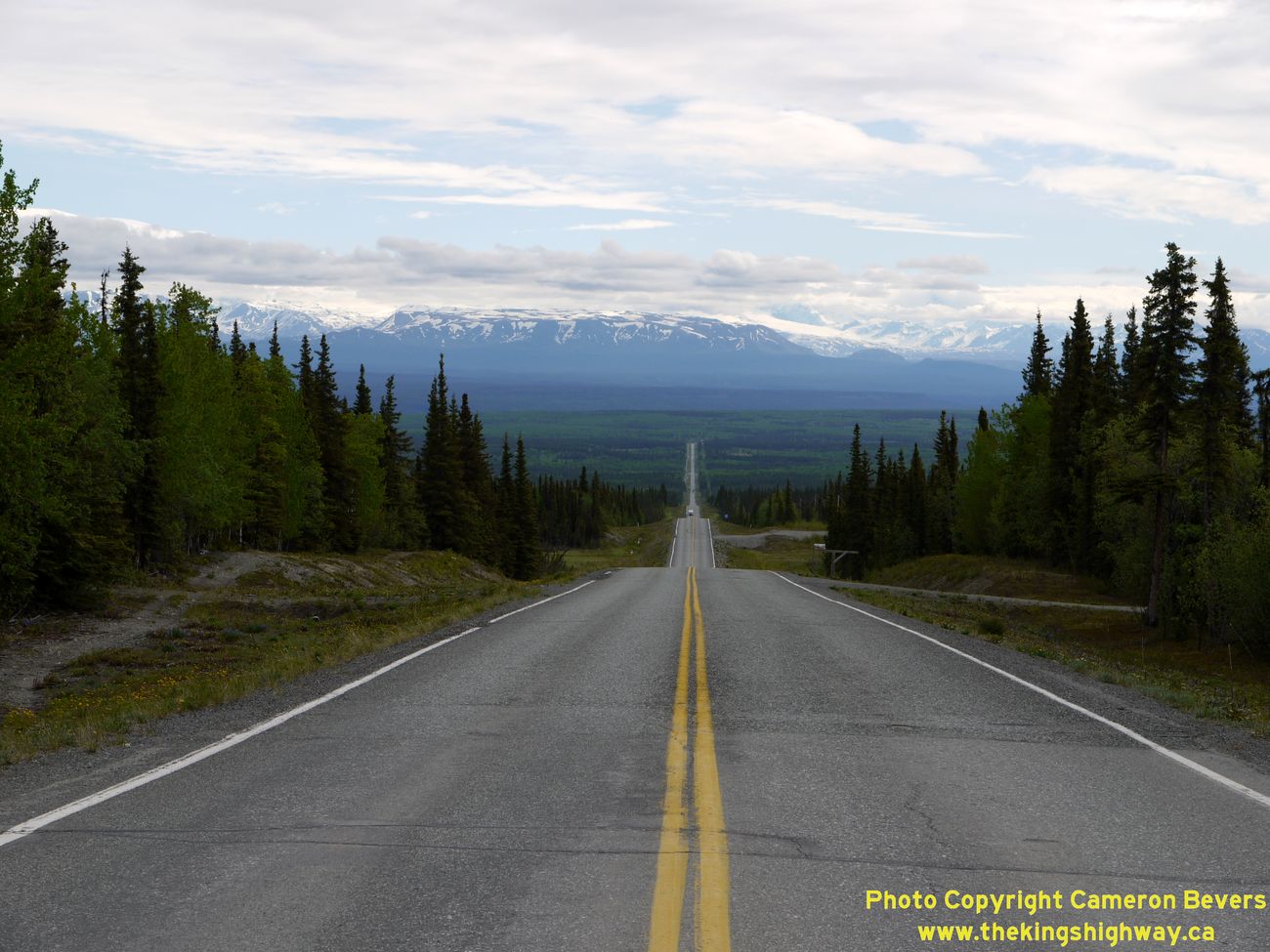
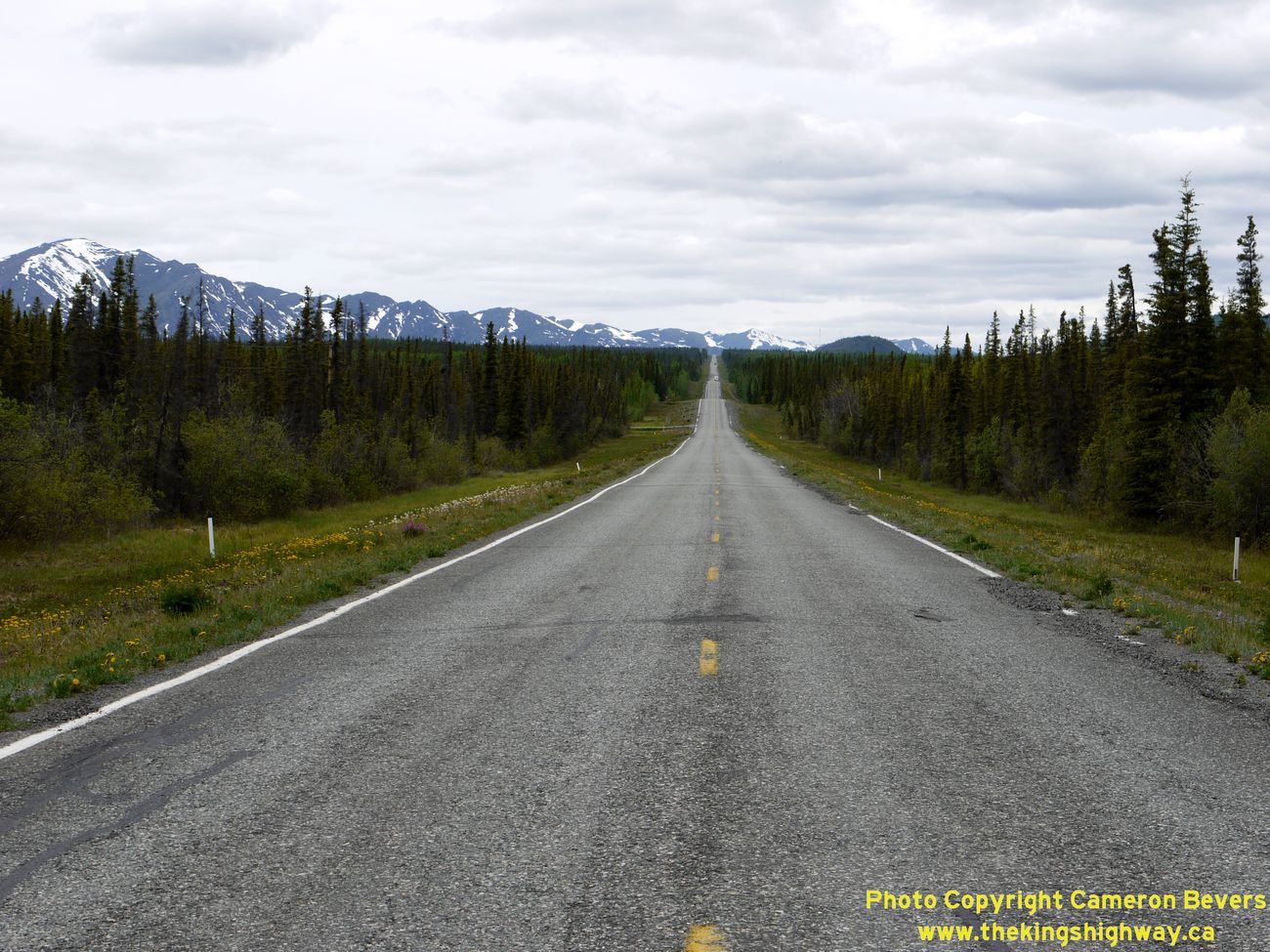
Enlarged Photo Here. (Photograph taken on June 10, 2012 - © Cameron Bevers) Right - Facing east along the Edgerton Highway (Hwy 10) towards the Copper River. The Wrangell Mountains can be seen on the horizon, 30 miles away. See an Enlarged Photo Here. (Photograph taken on June 10, 2012 - © Cameron Bevers) 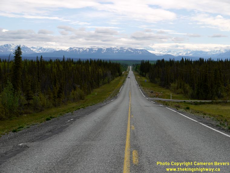
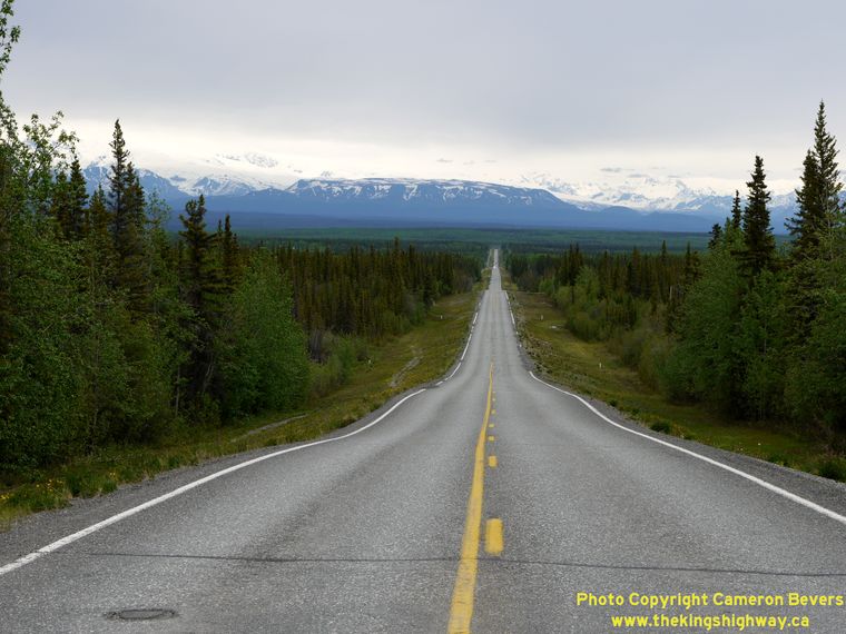
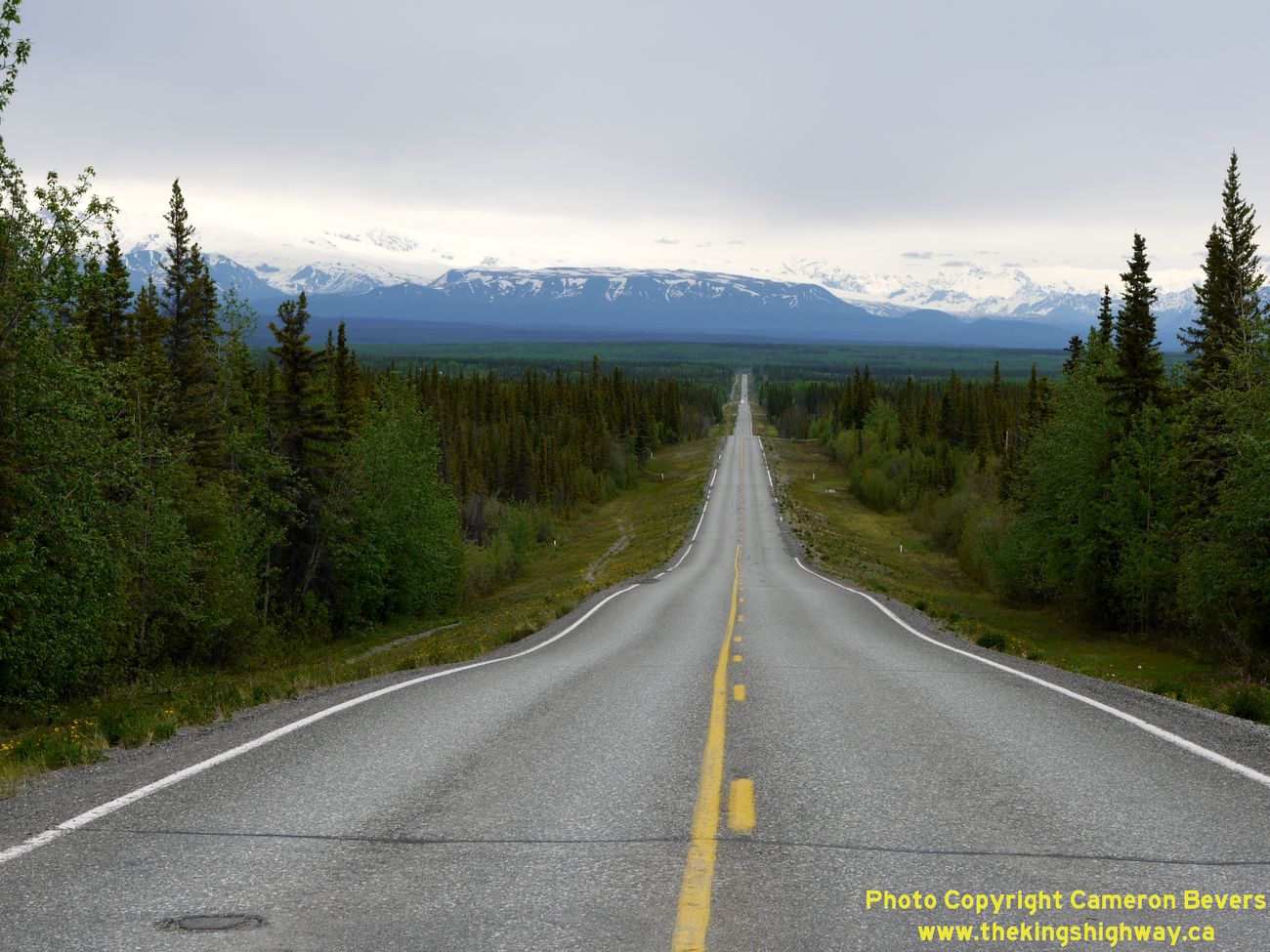
Left - As the Edgerton Highway (Hwy 10) descends into the Copper River Valley, the Wrangell Mountains loom closer. See an
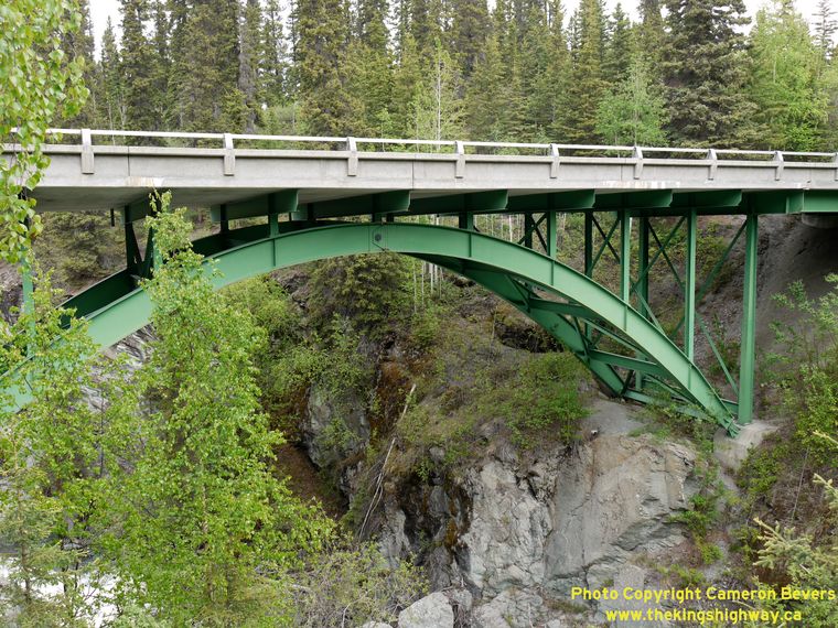
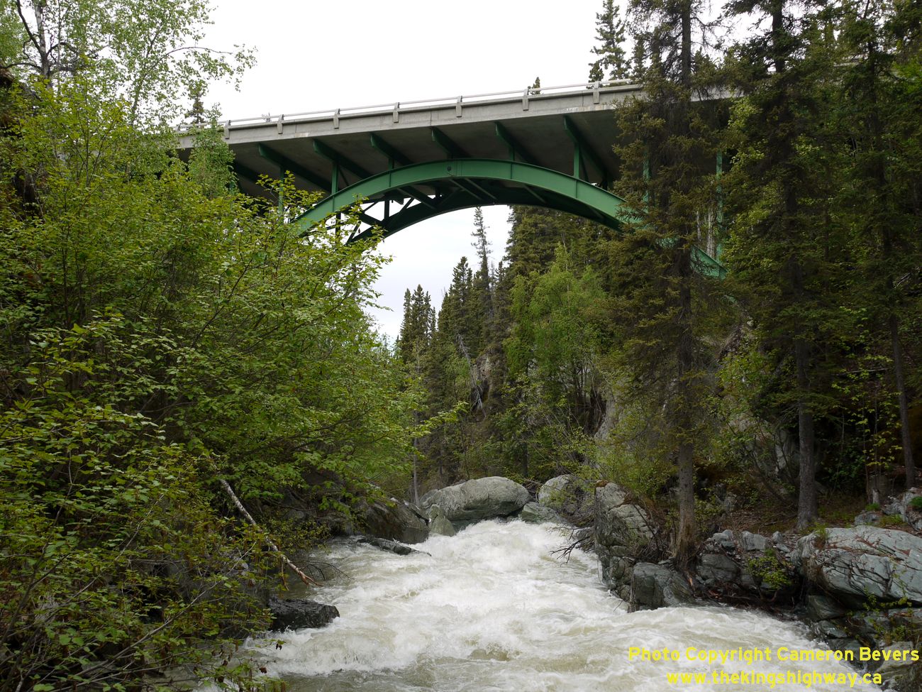
Enlarged Photo Here. (Photograph taken on June 10, 2012 - © Cameron Bevers) Right - Steel arch bridge over Liberty Creek on the Edgerton Highway (Hwy 10) near Chitina. Note the hinged pin connection at the top of the arch. Presumably, the steel arch bridge was designed this way to accommodate seismic forces. This area of Alaska is particularly active, since volcanic Mount Wrangell lies only 30 miles to the north. See an Enlarged Photo Here. (Photograph taken on June 10, 2012 - © Cameron Bevers) 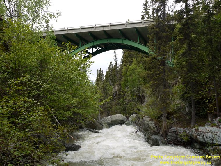
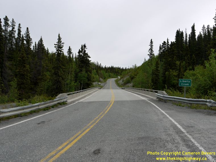
Left - Liberty Creek cascades down from the Chugach Mountains below the steel arch bridge on the Edgerton Highway (Hwy 10). See an
Enlarged Photo Here. (Photograph taken on June 10, 2012 - © Cameron Bevers) Right - Facing east towards Chitina along the Edgerton Highway (Hwy 10) at the Liberty Creek Bridge near Chitina. (Photograph taken on June 10, 2012 - © Cameron Bevers) 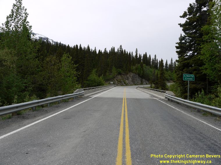
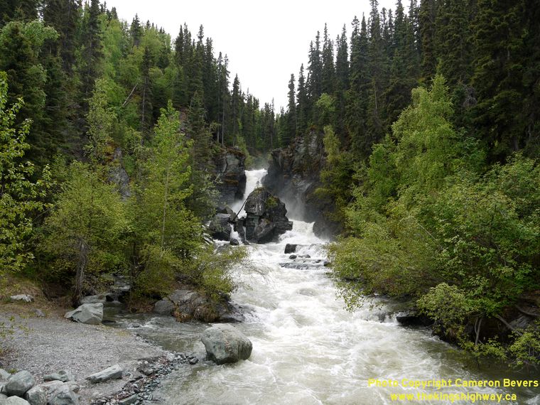
Left - Facing west along the Edgerton Highway (Hwy 10) at the Liberty Creek Bridge. (Photograph taken on June 10, 2012 - © Cameron Bevers) Right - View of Liberty Falls from on the Edgerton Highway (Hwy 10) near Chitina. See an Enlarged Photo Here. (Photograph taken on June 10, 2012 - © Cameron Bevers) 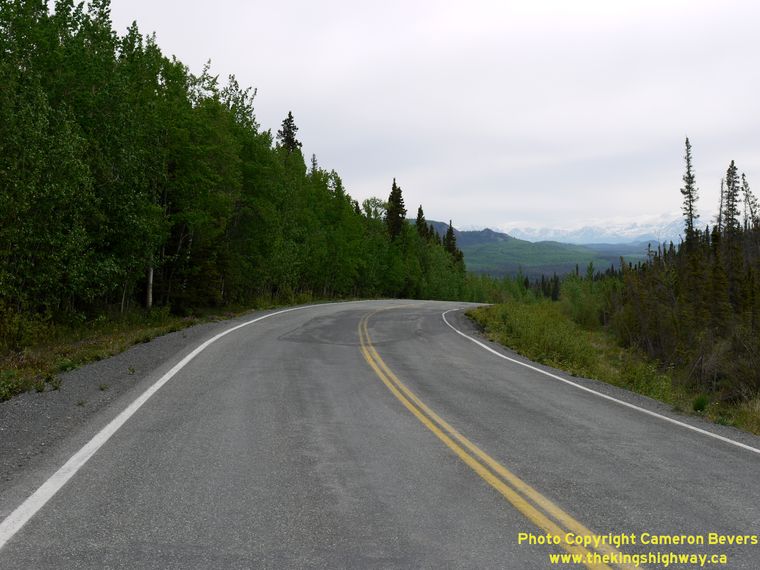

Left - Facing west towards Kenny Lake along the Edgerton Highway (Hwy 10) near Liberty Falls. (Photograph taken on June 10, 2012 - © Cameron Bevers) Right - Facing east towards Chitina along the Edgerton Highway (Hwy 10) at Threemile Lake. (Photograph taken on June 10, 2012 - © Cameron Bevers) 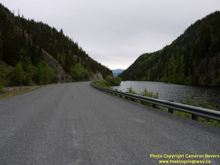
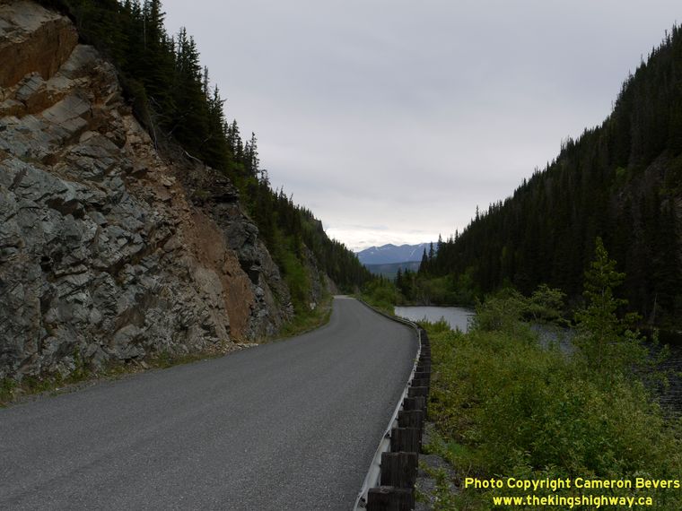
Left - The Edgerton Highway (Hwy 10) skirts Threemile Lake, before swinging westerly towards Liberty Falls and Kenny Lake. See an
Enlarged Photo Here. (Photograph taken on June 10, 2012 - © Cameron Bevers) Right - Approaching Threemile Lake on the Edgerton Highway (Hwy 10), facing west. (Photograph taken on June 10, 2012 - © Cameron Bevers) 

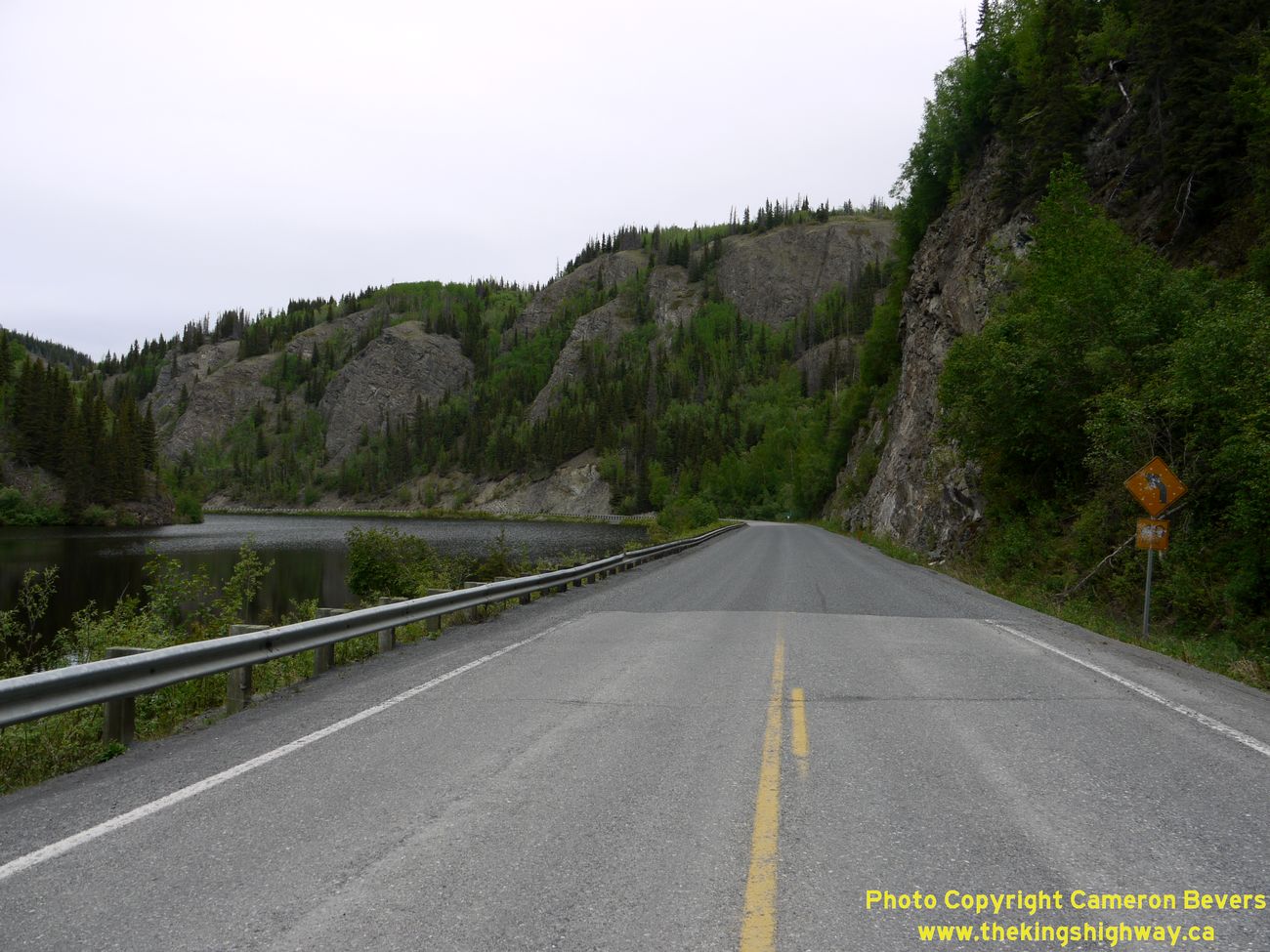
Left - Facing east along the Edgerton Highway (Hwy 10) towards Chitina at scenic Twomile Lake. (Photograph taken on June 10, 2012 - © Cameron Bevers) Right - The rugged scenery of Twomile Lake is one of many scenic highlights along the Edgerton Highway (Hwy 10). See an Enlarged Photo Here. (Photograph taken on June 10, 2012 - © Cameron Bevers) 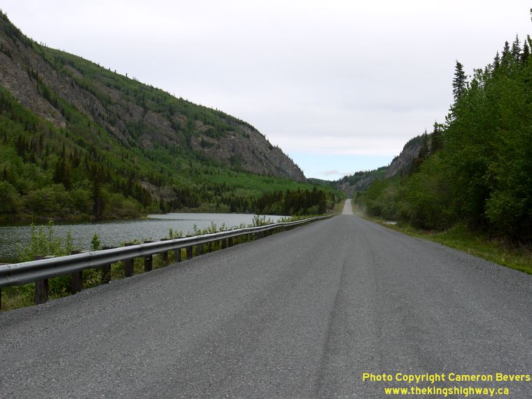

Left - Facing west along the Edgerton Highway (Hwy 10) at Onemile Lake, north of Chitina. (Photograph taken on June 10, 2012 - © Cameron Bevers) Right - The Edgerton Highway (Hwy 10) disappears into the Chugach Mountains leaving Chitina. The highway passes beside several alpine lakes over the next few miles, before re-emerging by the Copper River near Liberty Falls about 10 miles to the west. See an Enlarged Photo Here. (Photograph taken on June 10, 2012 - © Cameron Bevers) 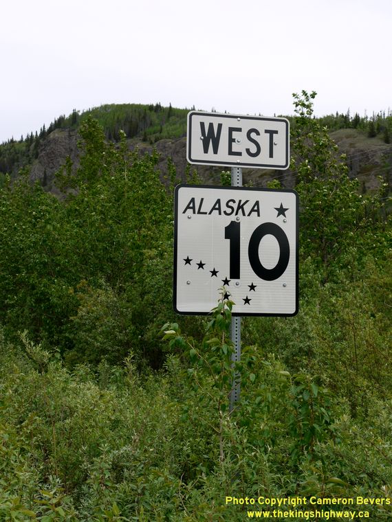
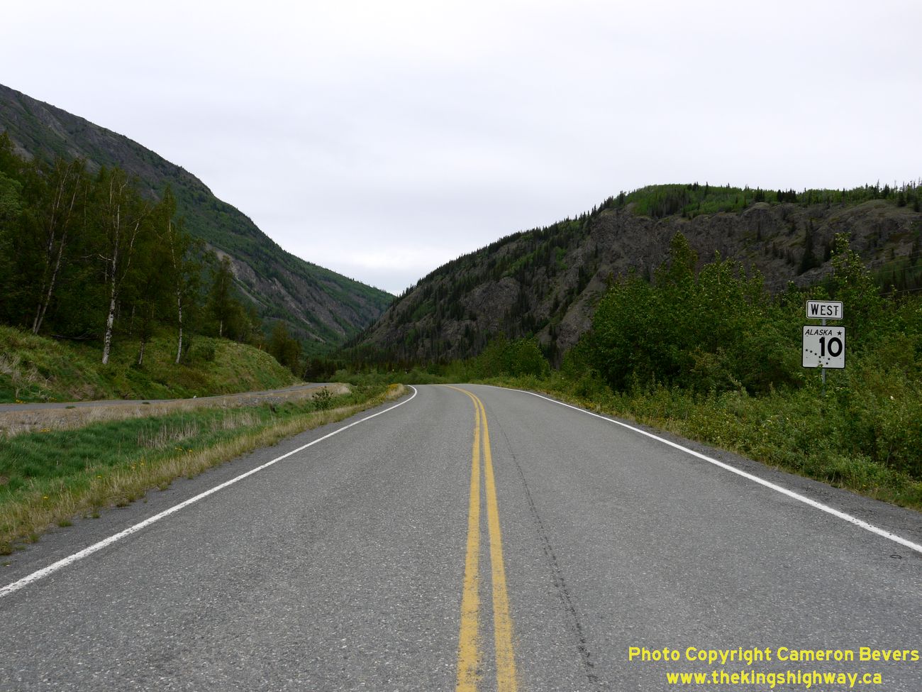
Above - Alaska Hwy 10 reassurance route marker on the Westbound Edgerton Highway near Chitina. (Photograph taken on June 10, 2012 - © Cameron Bevers) 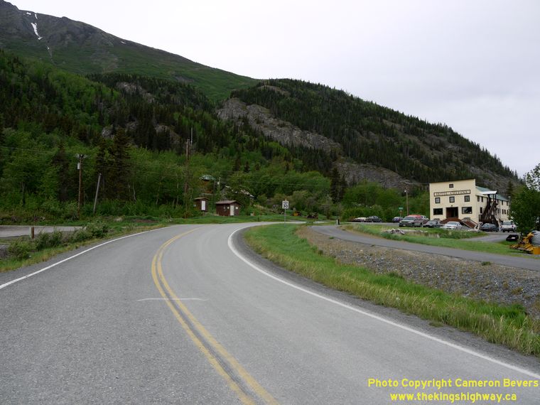

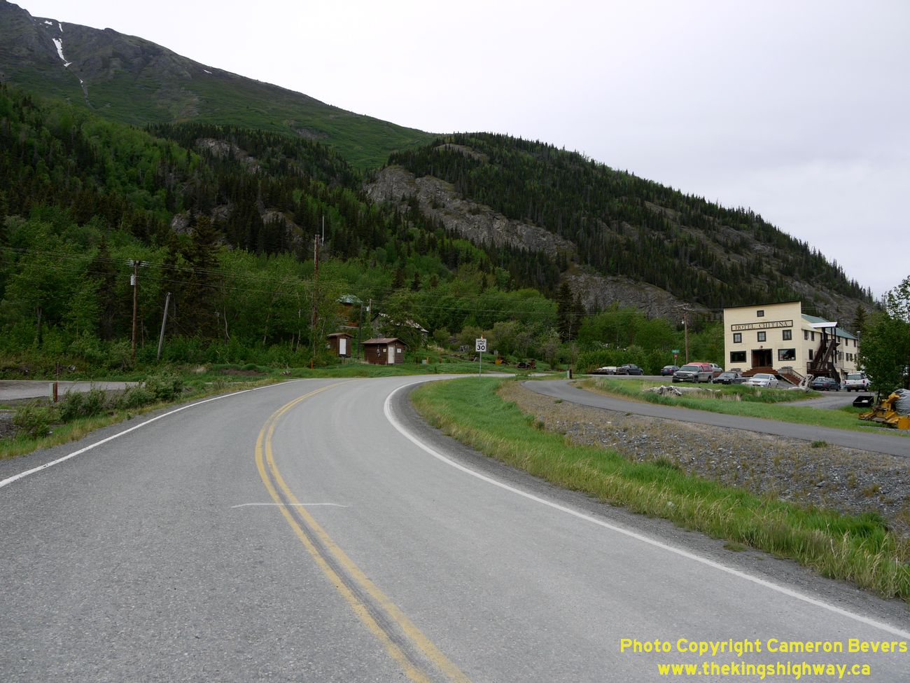
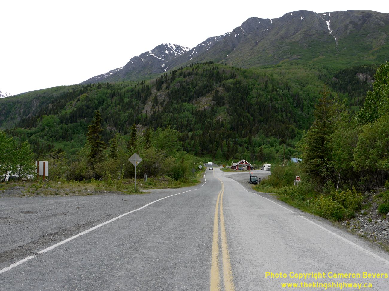
Left - The Edgerton Highway (Hwy 10) forms the main street of the tiny community of Chitina. This view was taken from O'Brien Creek Road, facing west. See an
Enlarged Photo Here. (Photograph taken on June 10, 2012 - © Cameron Bevers) Right - Facing east along the Edgerton Highway (Hwy 10) in Chitina, approaching the junction with O'Brien Creek Road. (Photograph taken on June 10, 2012 - © Cameron Bevers) 

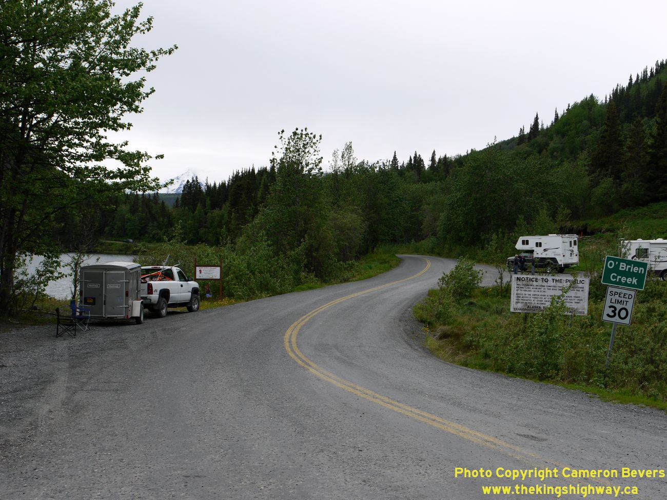
Left - Facing south along O'Brien Creek Road from the Edgerton Highway (Hwy 10). This road leading south from Chitina along the Copper River was once proposed
to become an extension of Hwy 10. The ill-fated Copper River Highway was a proposed highway link would have connected to the discontinuous section of Hwy 10 leading
east from Cordova. Plans to ultimately connect the Cordova section of Hwy 10 to the rest of the state highway system via Chitina were dashed in 1964, when Alaska's
infamous Good Friday Earthquake severely damaged the "Million Dollar Bridge" on the Copper River Highway, located about 50 miles east of Cordova. For decades, the
Million Dollar Bridge and the dead-end section of the Copper River Highway lying beyond it were closed to traffic. The Million Dollar Bridge was eventually repaired
and reopened to traffic in 2005, but in 2011, the unfortunate Copper River Highway was closed again when another bridge at Mile 36 was undermined by changing runoff
patterns in the Copper River Delta and closed indefinitely. To this day, there is still no road access to Cordova from the rest of the state highway system, so
motorists wishing to explore the Copper River Highway must take the Alaska Marine Highway System ferry from Valdez to access the balance of Hwy 10. See an
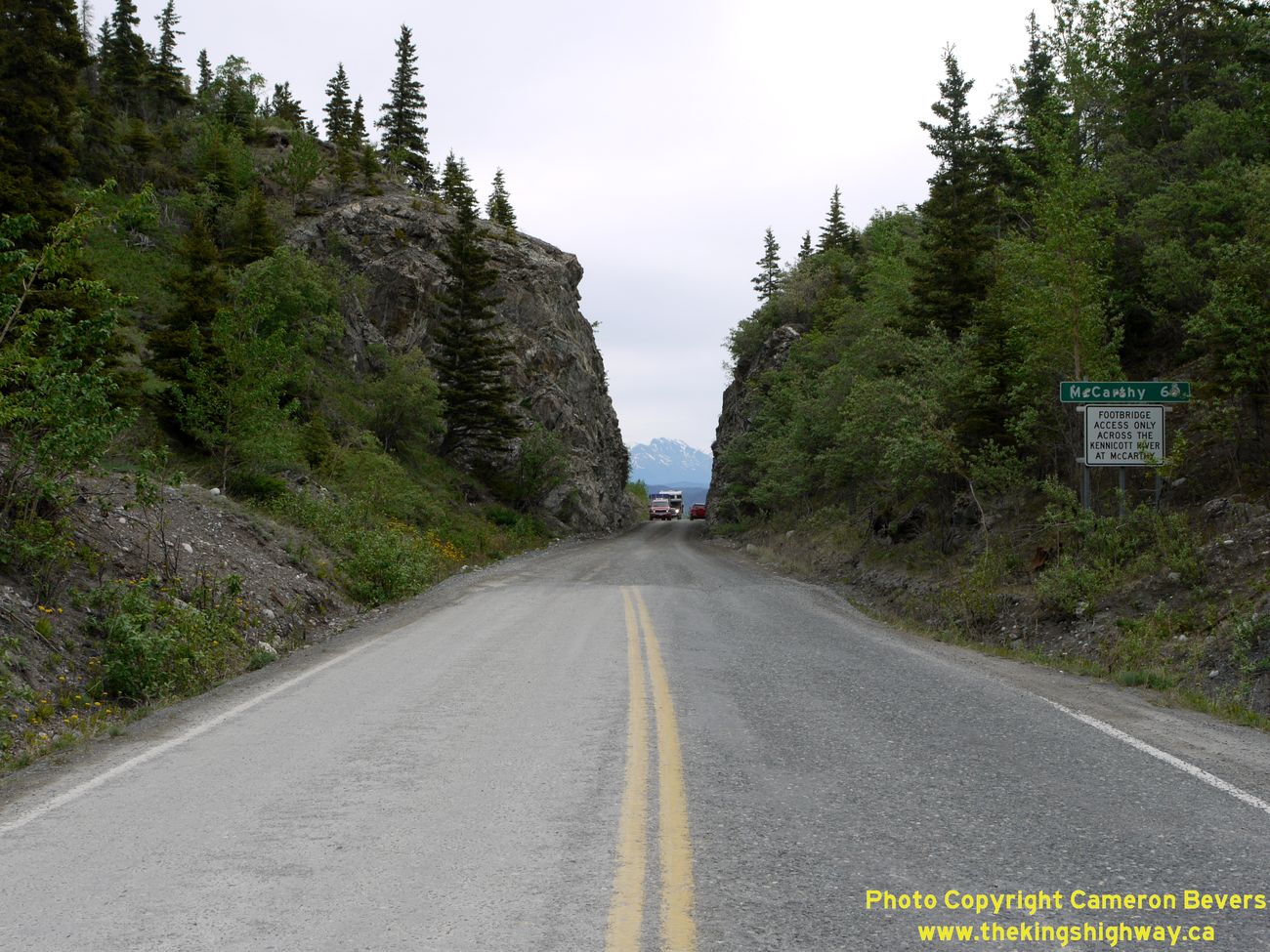
Enlarged Photo Here. (Photograph taken on June 10, 2012 - © Cameron Bevers) Right - Facing west from the eastern terminus of the Edgerton Highway (Hwy 10), where it meets the McCarthy Road in Chitina. See an Enlarged Photo Here. (Photograph taken on June 10, 2012 - © Cameron Bevers) 
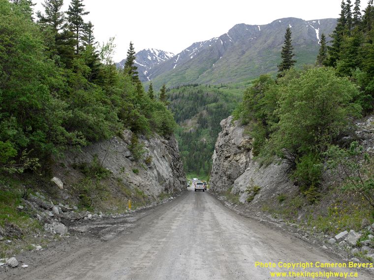
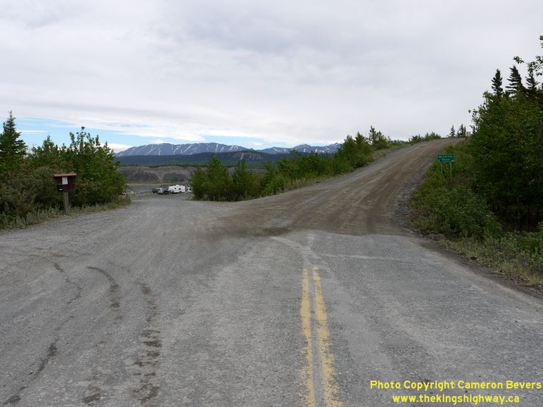
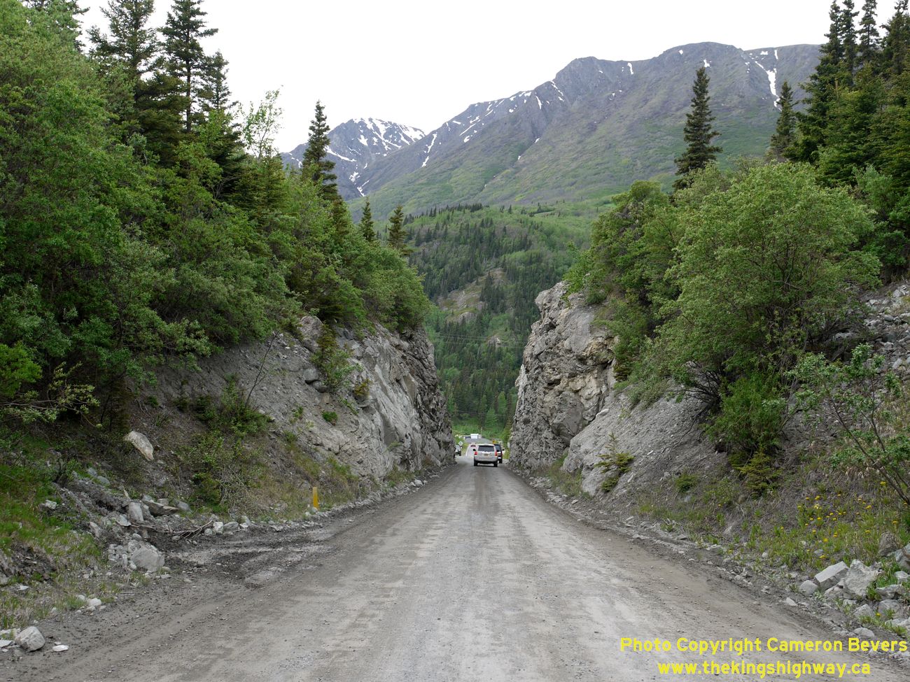
Left - Eastern terminus of the Edgerton Highway (Hwy 10) at the junction with the McCarthy Road. The fascinating McCarthy Road follows an old railroad grade
for 60 miles between Chitina and McCarthy. Here, the road briefly narrows to one lane as it squeezes through an old railroad rock cut. See an
Enlarged Photo Here. (Photograph taken on June 10, 2012 - © Cameron Bevers) Right - One-lane rock cut on the McCarthy Road, immediately east of the junction with the Edgerton Highway (Hwy 10) in Chitina. See an Enlarged Photo Here. (Photograph taken on June 10, 2012 - © Cameron Bevers) 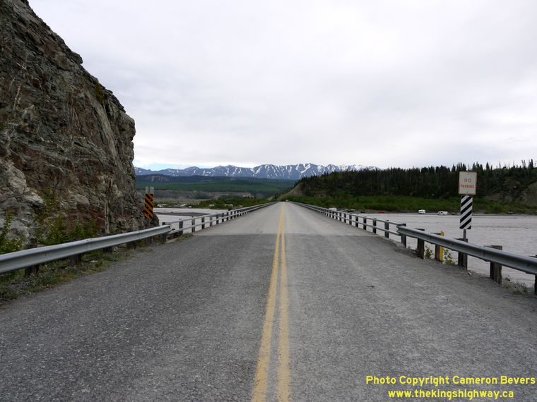

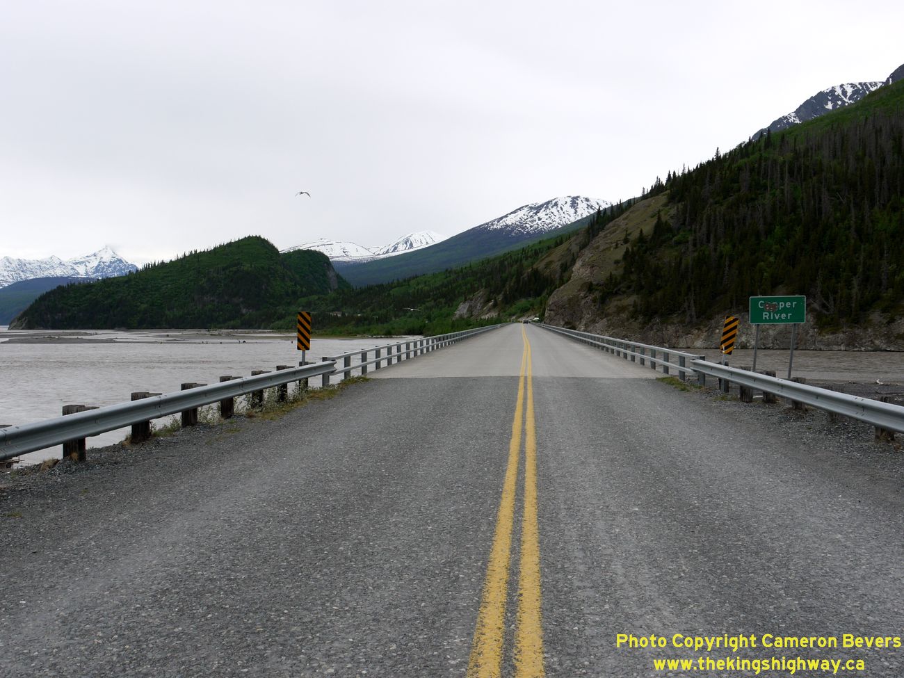
Left - Facing east across the Copper River Bridge on the McCarthy Road in Chitina. The Copper River is a fisherman's paradise, so the entire area surrounding
the Copper River Bridge is filled with campers and other outdoor enthusiasts. This bridge also provides the only road access to the small community of McCarthy and
the heart of Wrangell-Saint Elias National Park. See an Enlarged Photo Here. (Photograph taken on June 10, 2012 - © Cameron Bevers) Right - Copper River Bridge on the McCarthy Road, facing west towards Chitina. See an Enlarged Photo Here. (Photograph taken on June 10, 2012 - © Cameron Bevers) 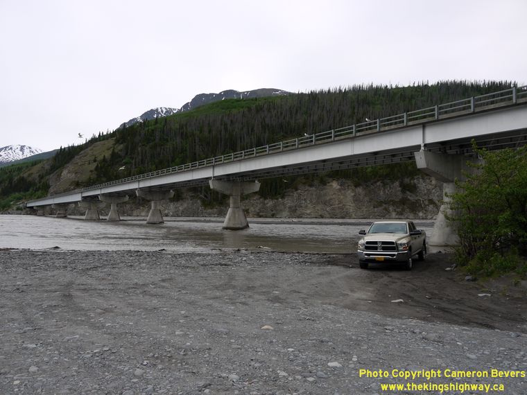
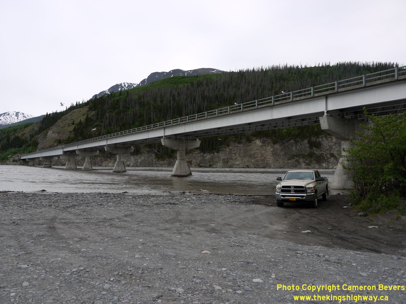
Left - The McCarthy Road crosses this massive bridge over the Copper River just east of Chitina. See an
Enlarged Photo Here. (Photograph taken on June 10, 2012 - © Cameron Bevers) Right - Facing east along the McCarthy Road at the end of the pavement, just east of the Copper River Bridge. The remainder of the McCarthy Road follows the former railroad grade, so it is narrow and gravel-surfaced. The road is not maintained in winter. (Photograph taken on June 10, 2012 - © Cameron Bevers) |
|---|
Links to Other Ontario Highway History Website Sections:
Back to Alaska Highway 9 Photos /
Alaska Highways Photo Index /
On to Alaska Highway 11 Photos
Vacation Highway Photos - Main Menu / Ontario Highway History - Main Menu Website contents, photos & text © 2002-2026, Cameron
Bevers (Webmaster) - All Rights Reserved / Contact Me
|
|---|