
| 
| |
|
|
All photographs displayed on this page were taken by the
Webmaster (Cameron Bevers). Photographs are arranged by location from north to south. See a
Hwy 9 Route Map here. To view
photos of other Alaska Highways, please select a highway number listed on the
Alaska Photograph Index Page.
Click on any thumbnail to see a larger image!
Please note that all photographs displayed on this
website are protected by copyright. These photographs must not be reproduced, published,
electronically stored or copied, distributed, or posted onto other websites without
my written permission. If you want to use photos from this website, please
email me first for permission. Thank-you!
|
|---|
|
Alaska Highway 9 (Seward Highway) Photographs

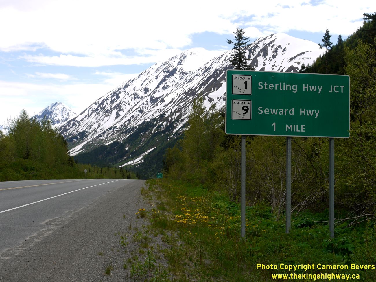
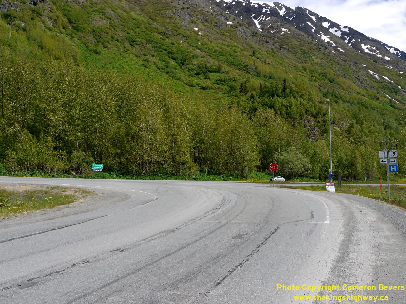
Left - Guide sign on the Southbound Seward Highway (Hwy 1) approaching the Sterling Highway Junction at Tern Lake. At this junction, the route of Hwy 1
suddenly turns towards the west and follows the Sterling Highway while the Seward Highway continues straight through as Hwy 9. This sudden change in highway route
numbers about 90 miles south of Anchorage would not likely be expected by motorists, so the junction is very well signed. See an
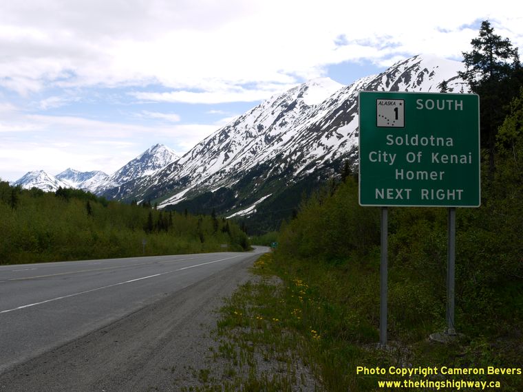
Enlarged Photo Here. (Photograph taken on June 11, 2012 - © Cameron Bevers) Right - Guide sign on the Southbound Seward Highway (Hwy 1) approaching the Tern Lake Junction. At this junction, the route of Hwy 1 turns off and heads south towards Soldotna, the City of Kenai and Homer. The Seward Highway continues south towards Seward as Hwy 9. See an Enlarged Photo Here. (Photograph taken on June 11, 2012 - © Cameron Bevers) 
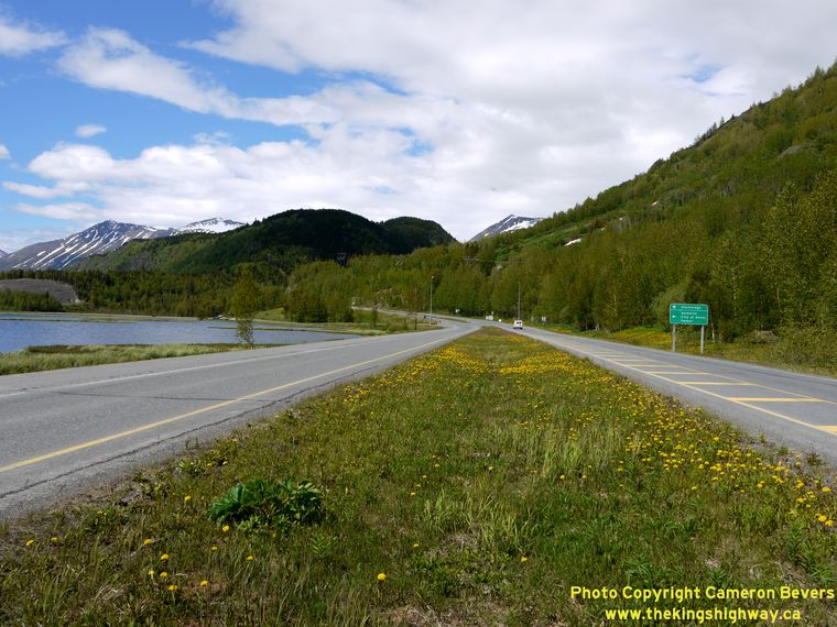
Left - Facing south along the Seward Highway approaching the Tern Lake Junction. See an
Enlarged Photo Here. (Photograph taken on June 11, 2012 - © Cameron Bevers) Right - Turn-off guide sign on the Southbound Seward Highway approaching the Sterling Highway Junction at Tern Lake. (Photograph taken on June 11, 2012 - © Cameron Bevers) 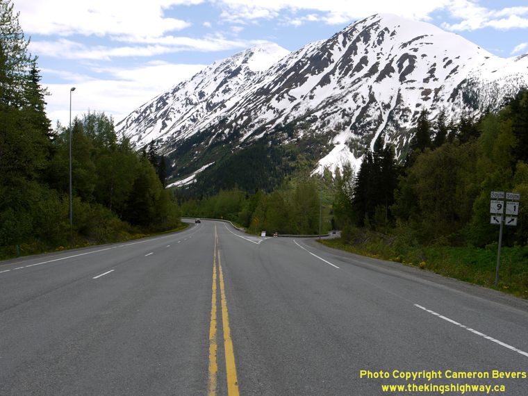
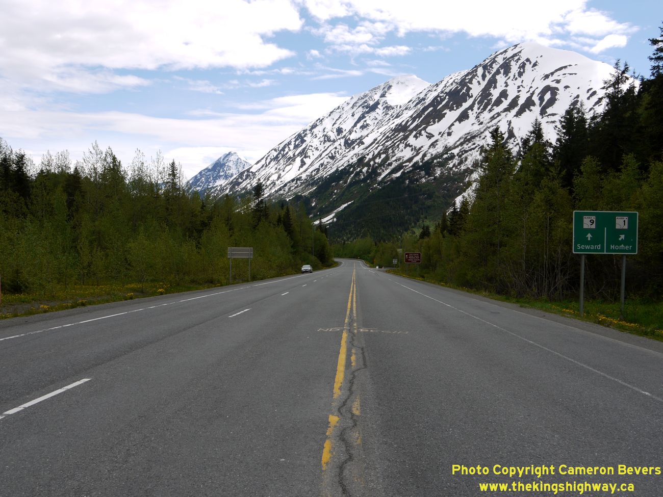
Left - Approaching the Hwy 9 & Hwy 1 Junction at Tern Lake. Traffic wishing to continue south along the Seward Highway (Hwy 9) must proceed straight ahead,
while traffic wishing to take the Sterling Highway (Hwy 1) may exit the highway via the ramp at right. Motorists who inadvertently miss the exit ramp can still turn
right where the two highways meet beside Tern Lake, located a short distance to the south. See an
Enlarged Photo Here. (Photograph taken on June 11, 2012 - © Cameron Bevers) Right - Junction assembly on the Southbound Seward Highway approaching the Sterling Highway Junction at Tern Lake. (Photograph taken on June 11, 2012 - © Cameron Bevers) 

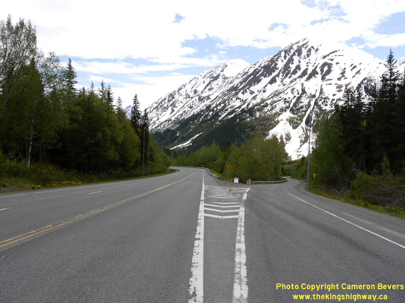
Left - Exit ramp from the Southbound Seward Highway to the Sterling Highway. The exit ramp at right is almost 1/2 mile in length, and joins the Sterling
Highway west of Tern Lake. It appears that this junction may have been a directional "Y" intersection at one point, but was later converted to carry southbound
traffic only. See an Enlarged Photo Here. (Photograph taken on June 11, 2012 - © Cameron Bevers) Right - A northbound passing lane begins as the Seward Highway (Hwy 1) heads north from the Sterling Highway Junction at Tern Lake. The Seward Highway continues north as Hwy 1 from the Tern Lake Junction. The Seward Highway ends in Anchorage, located about 90 miles to the north. See an Enlarged Photo Here. (Photograph taken on June 11, 2012 - © Cameron Bevers) 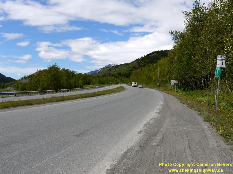
Left - Facing north along the Seward Highway (Hwy 1) towards Anchorage from the Sterling Highway Junction at Tern Lake. See an
Enlarged Photo Here. (Photograph taken on June 11, 2012 - © Cameron Bevers) Right - The Seward Highway briefly widens into a divided highway through the Sterling Highway Junction at Tern Lake. See an Enlarged Photo Here. (Photograph taken on June 11, 2012 - © Cameron Bevers) 
Left - Facing south along the Seward Highway towards the Sterling Highway Junction at Tern Lake. This is by far Alaska's most photogenic highway junction. See
an Enlarged Photo Here. (Photograph taken on June 11, 2012 - © Cameron Bevers) Right - Junction of the Seward Highway and Sterling Highway at Tern Lake, facing south. The Seward Highway continues south for another 37 miles to Seward via Hwy 9. The route of Hwy 1 turns right onto the Sterling Highway, and heads south for 143 miles to Homer. If traffic volumes ever warranted intersection improvements in the future, the junction of the Seward Highway and Sterling Highway would be a great location for a roundabout in my opinion. (Photograph taken on June 11, 2012 - © Cameron Bevers) 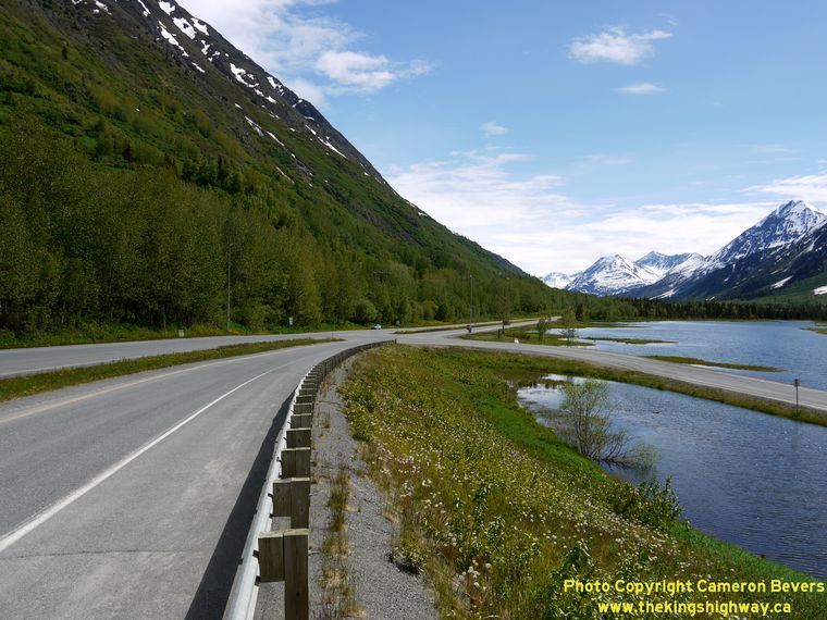
Left - Tern Lake Junction on the Seward Highway at the Sterling Highway, facing south. I've photographed a lot of highway junctions in my life, and this is
definitely one of the most spectacular junctions that I've ever encountered. The scenery at Tern Lake is absolutely stunning - my photos really cannot capture the
beauty of this area. See an Enlarged Photo Here. (Photograph taken on June 11, 2012 - © Cameron Bevers) Right - Junction assembly at the northern terminus of the Sterling Highway at the Seward Highway Junction at Tern Lake. (Photograph taken on June 11, 2012 - © Cameron Bevers) 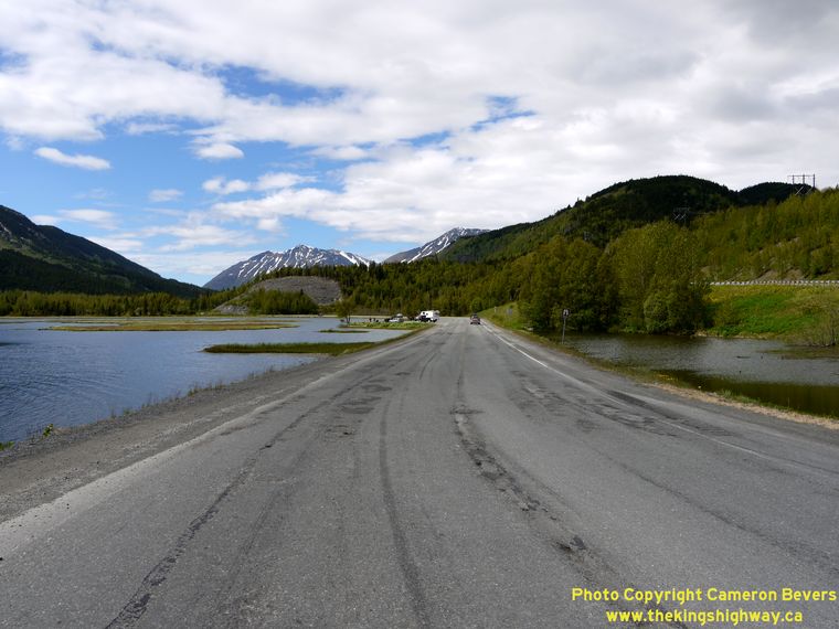
Left - Facing south along the Sterling Highway towards Homer from the Seward Highway Junction. Scenic Tern Lake is visible at left. See an
Enlarged Photo Here. (Photograph taken on June 11, 2012 - © Cameron Bevers) Right - Northern terminus of the Sterling Highway at the Seward Highway Junction at Tern Lake. At this junction, Hwy 1 turns left and heads north towards Anchorage via the Seward Highway. The Seward Highway can also be followed south from Tern Lake Junction by turning right onto Hwy 9. See an Enlarged Photo Here. (Photograph taken on June 11, 2012 - © Cameron Bevers) 
Left - Facing south along the Sterling Highway (Hwy 1) from the Tern Lake Lookout near the Seward Highway Junction. The highway passes by Tern Lake along its
route south towards Soldotna and Homer. The exit ramp from the Southbound Seward Highway merges with the Sterling Highway about 1/2 mile ahead. See an
Enlarged Photo Here. (Photograph taken on June 11, 2012 - © Cameron Bevers) Right - Roadside lookout at Tern Lake, near the junction of the Sterling Highway and Seward Highway. (Photograph taken on June 11, 2012 - © Cameron Bevers) 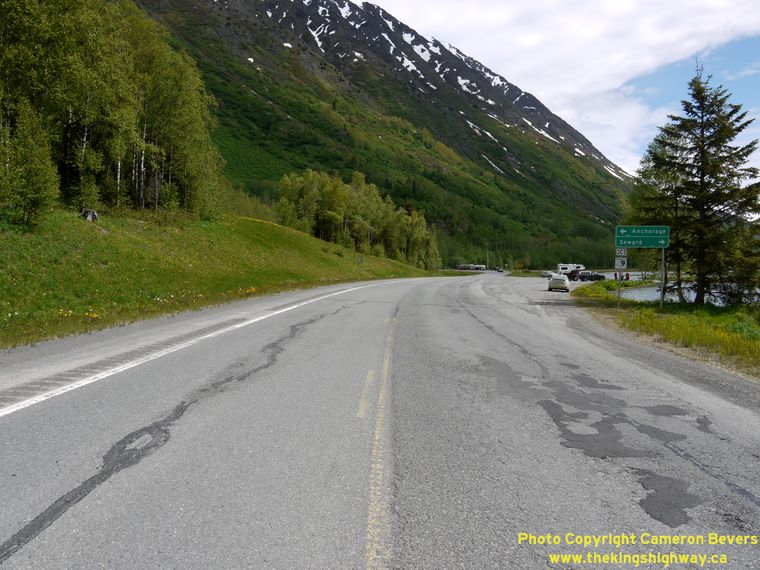
Left - Facing north along the Sterling Highway (Hwy 1) approaching the Seward Highway Junction at Tern Lake. (Photograph taken on June 11, 2012 - © Cameron Bevers) Right - Guide signs on the Northbound Sterling Highway (Hwy 1) marking the Seward Highway Junction at Tern Lake. (Photograph taken on June 11, 2012 - © Cameron Bevers) 
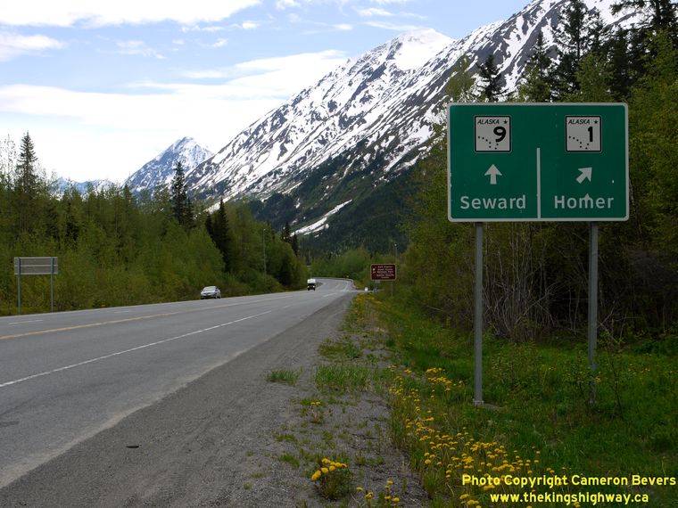
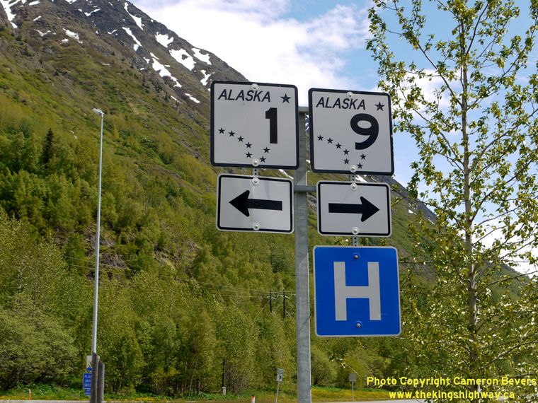
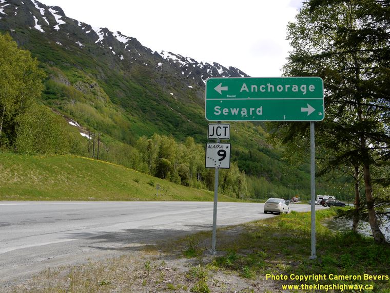
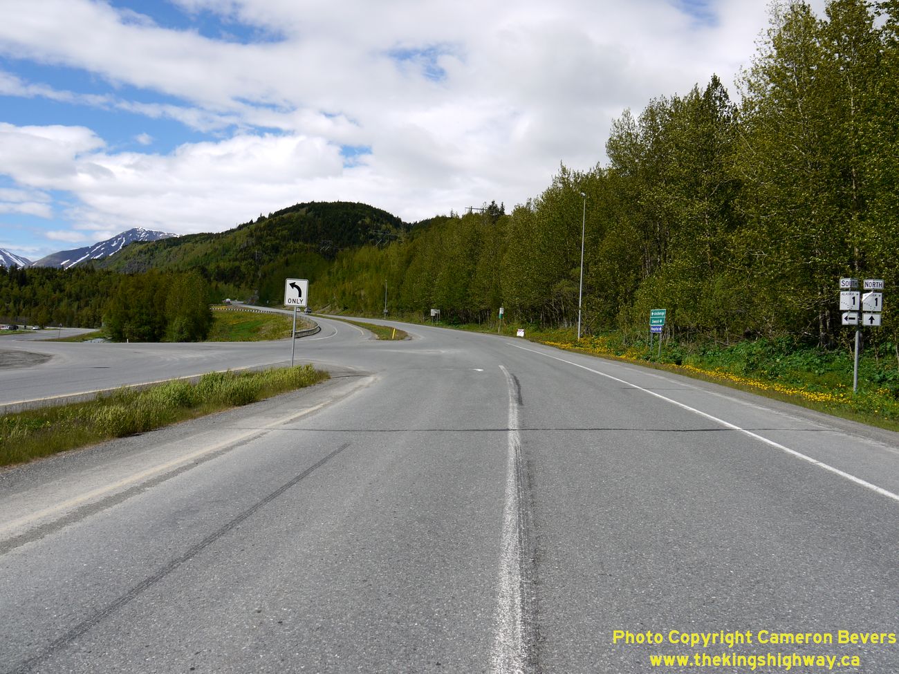
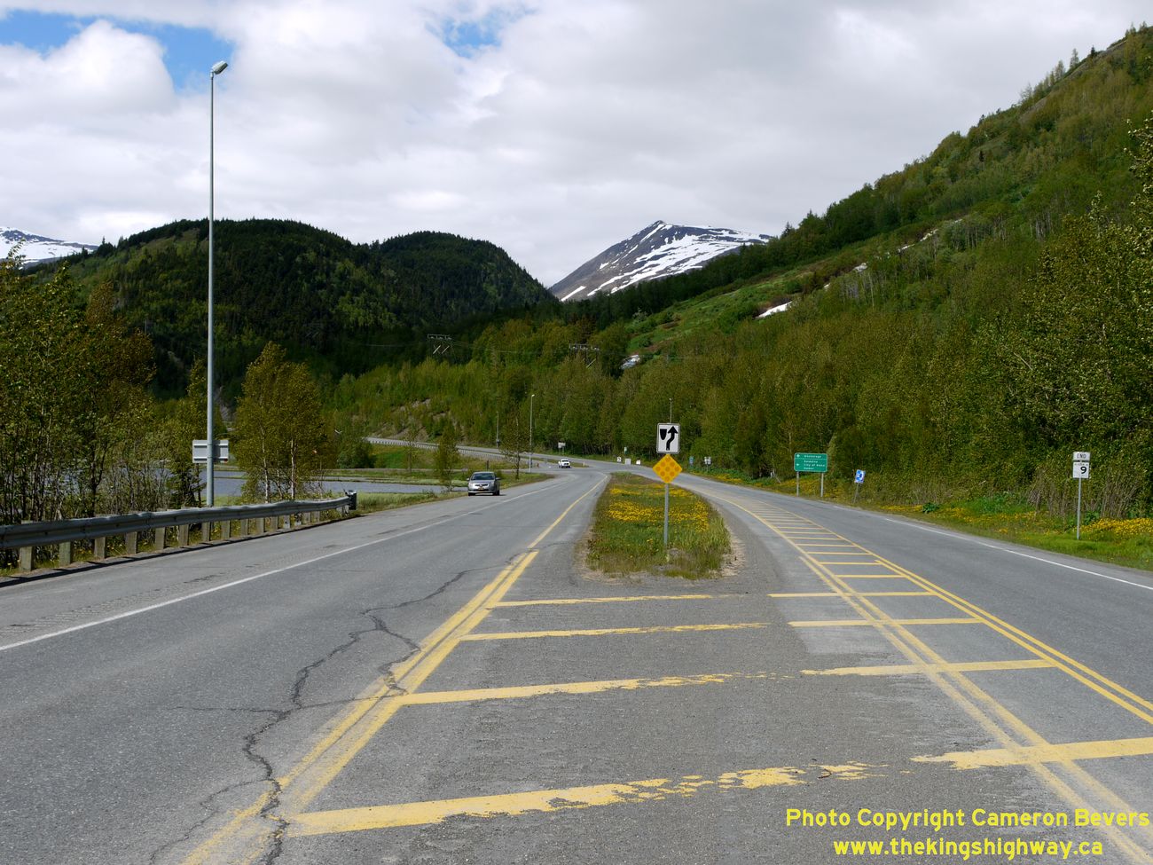
Left - Guide signs at the end of the Sterling Highway at the Seward Highway Junction at Tern Lake. (Photograph taken on June 11, 2012 - © Cameron Bevers) Right - Facing north along the Seward Highway at the Sterling Highway Junction. Although Hwy 9 ends here, motorists can either turn left and follow the Sterling Highway (Hwy 1 South) towards Soldotna or continue straight through along the Seward Highway (Hwy 1 North) towards Anchorage. See an Enlarged Photo Here. (Photograph taken on June 11, 2012 - © Cameron Bevers) 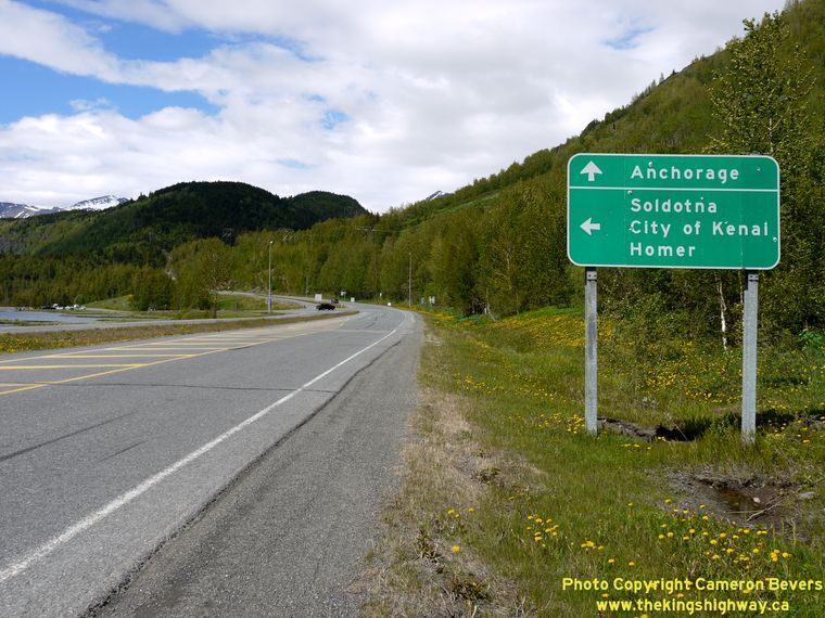
Left - Guide sign on the Northbound Seward Highway (Hwy 9) at the Sterling Highway Junction. (Photograph taken on June 11, 2012 - © Cameron Bevers) Right - Divided section of the Seward Highway (Hwy 9) approaching the Tern Lake Junction with Hwy 1. See an Enlarged Photo Here. (Photograph taken on June 11, 2012 - © Cameron Bevers) 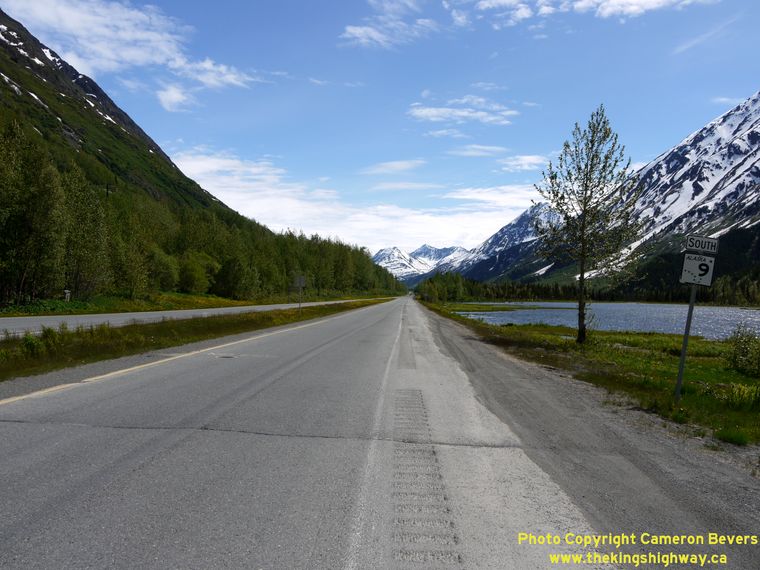

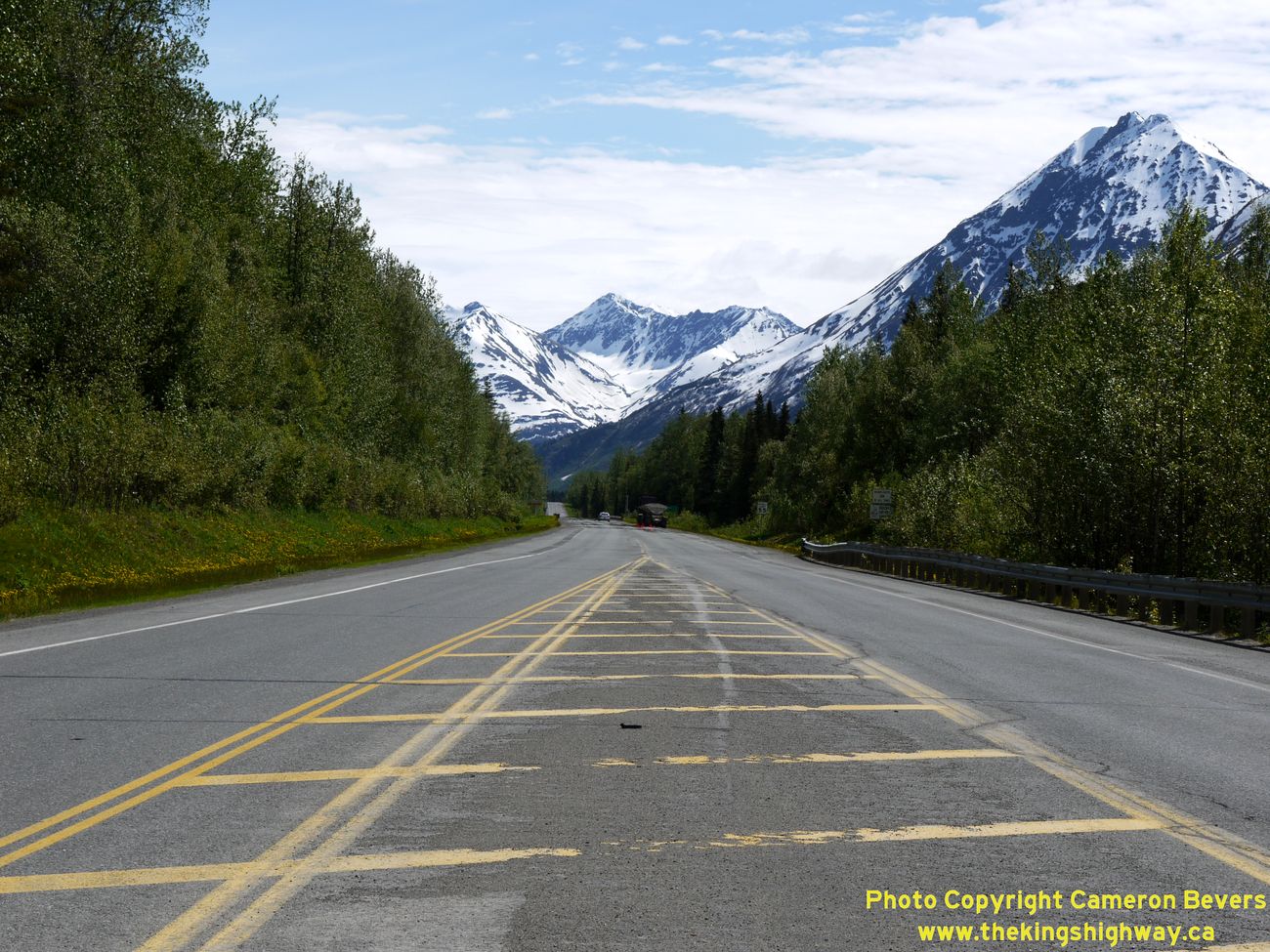
Left - Facing south along the Seward Highway (Hwy 9) from the Sterling Highway Junction. The scenery at Tern Lake is nothing short of spectacular.
See an Enlarged Photo Here. (Photograph taken on June 11, 2012 - © Cameron Bevers) Right - The Seward Highway (Hwy 9) returns to a two-lane undivided highway just south of the Sterling Highway Junction. The highway continues south from Tern Lake for about 37 miles to Seward. The highway offers motorists some absolutely stunning views of the Kenai Mountains. See an Enlarged Photo Here. (Photograph taken on June 11, 2012 - © Cameron Bevers) 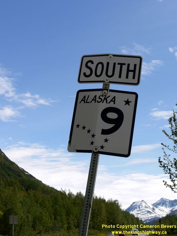
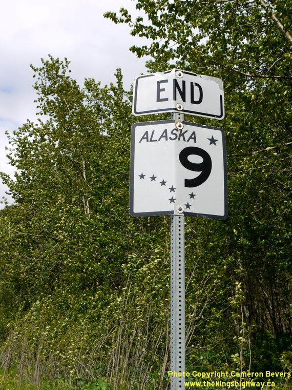
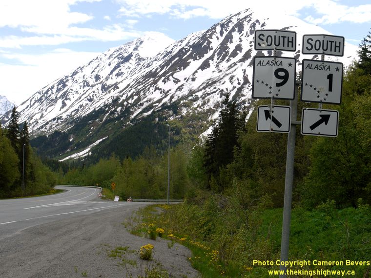
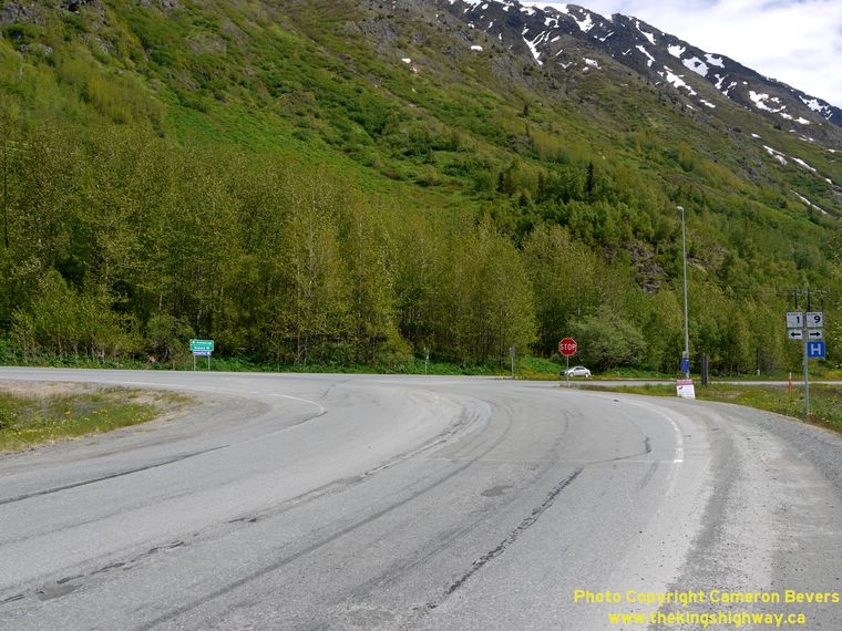
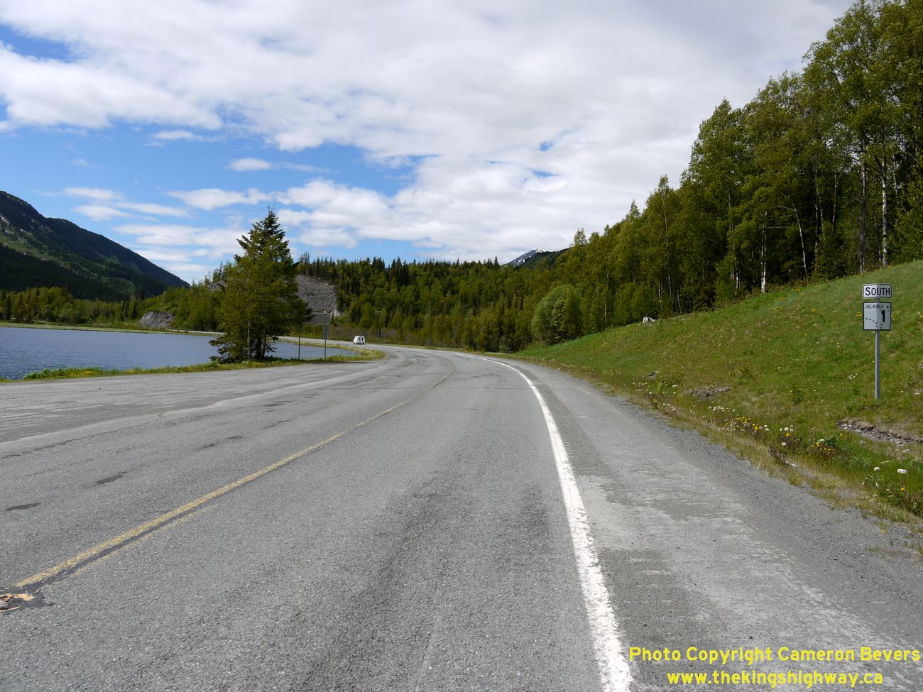
Left - Alaska Hwy 9 route marker along the Southbound Seward Highway at Tern Lake. (Photograph taken on June 11, 2012 - © Cameron Bevers) Right - "End Hwy 9" route marker on the Northbound Seward Highway at Tern Lake. Signs such as this one are very uncommon. Alaska doesn't normally post an "Ends" sign at a highway's terminus, because many of Alaska's State Highways are ultimately dead-ends. As a result, it is usually quite obvious to motorists where an Alaska State Highway terminates. However, in this particular instance, the Seward Highway actually continues north towards Anchorage as Hwy 1 North, while the Hwy 9 designation ceases. (Photograph taken on June 11, 2012 - © Cameron Bevers) 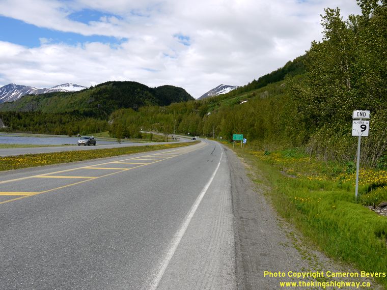
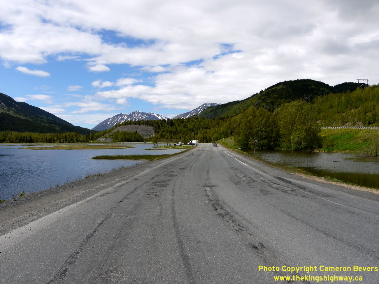
Left - The route of Hwy 9 ends at the Tern Lake Junction, although the Seward Highway continues north from this point towards Anchorage as Hwy 1 North. The
route of Hwy 1 South follows the Sterling Highway to Soldotna and The City of Kenai. (Photograph taken on June 11, 2012 - © Cameron Bevers) Right - The Sterling Highway and Seward Highway join together at Tern Lake, about 37 miles north of Seward. At left, the Sterling Highway can be seen along the north shore of Tern Lake. See an Enlarged Photo Here. (Photograph taken on June 11, 2012 - © Cameron Bevers) 
Left - Facing north along the Seward Highway (Hwy 9) at Tern Lake. The Seward Highway widens into a divided highway at the Sterling Highway Junction. See an
Enlarged Photo Here. (Photograph taken on June 11, 2012 - © Cameron Bevers) Right - Facing south along the Seward Highway (Hwy 9) from Tern Lake. See an Enlarged Photo Here. (Photograph taken on June 11, 2012 - © Cameron Bevers) 
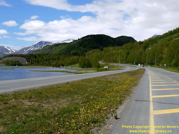
Left - View of scenic Tern Lake from the Seward Highway (Hwy 9). See an
Enlarged Photo Here. (Photograph taken on June 11, 2012 - © Cameron Bevers) Right - Distance sign along the Southbound Seward Highway (Hwy 9) near Tern Lake. (Photograph taken on June 12, 2012 - © Cameron Bevers) 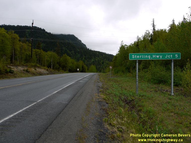
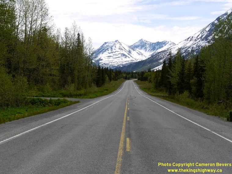
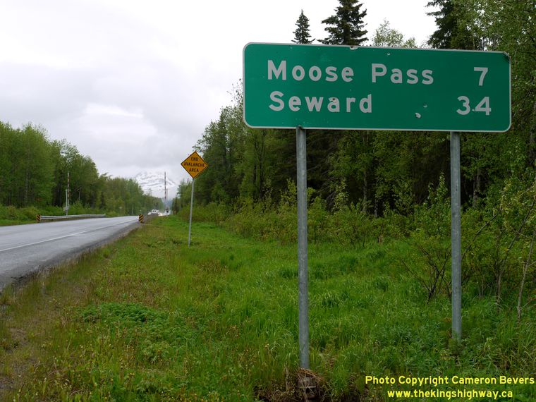
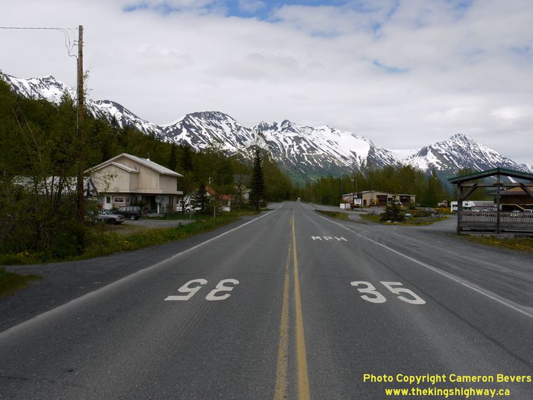
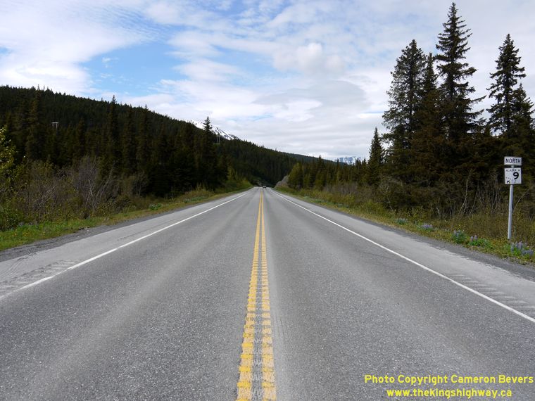
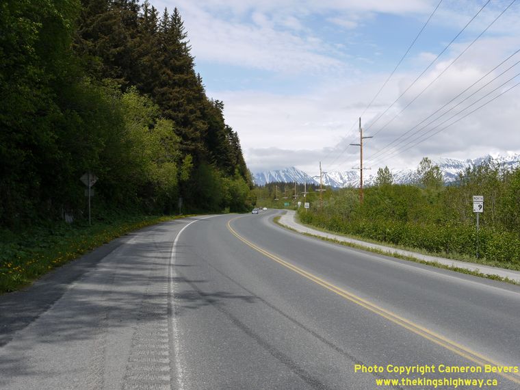
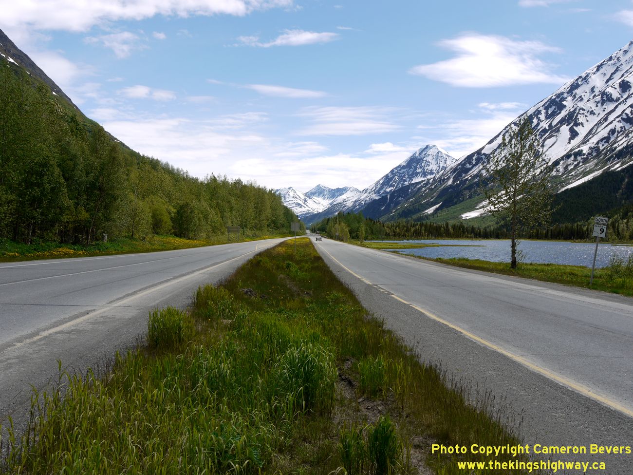
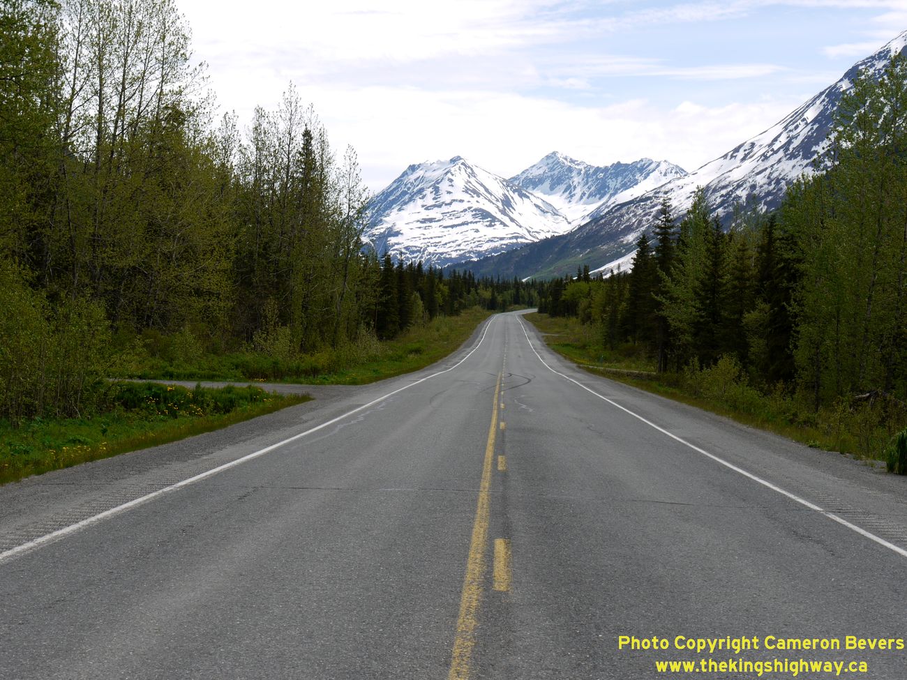
Left - Sign marking the distance to the Sterling Highway Junction along the Northbound Seward Highway (Hwy 9). (Photograph taken on June 12, 2012 - © Cameron Bevers) Right - Facing south along the Seward Highway (Hwy 9) near Moose Pass. In the background, Lark Mountain rises almost 4,000 feet above the highway. See an Enlarged Photo Here. (Photograph taken on June 11, 2012 - © Cameron Bevers) 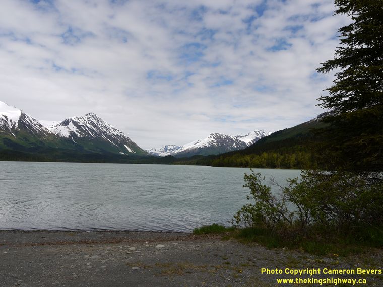
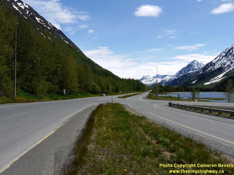
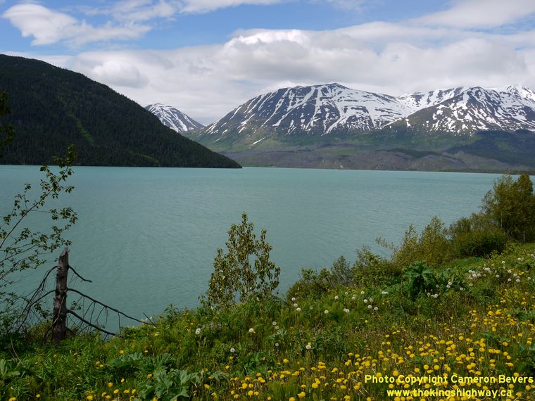
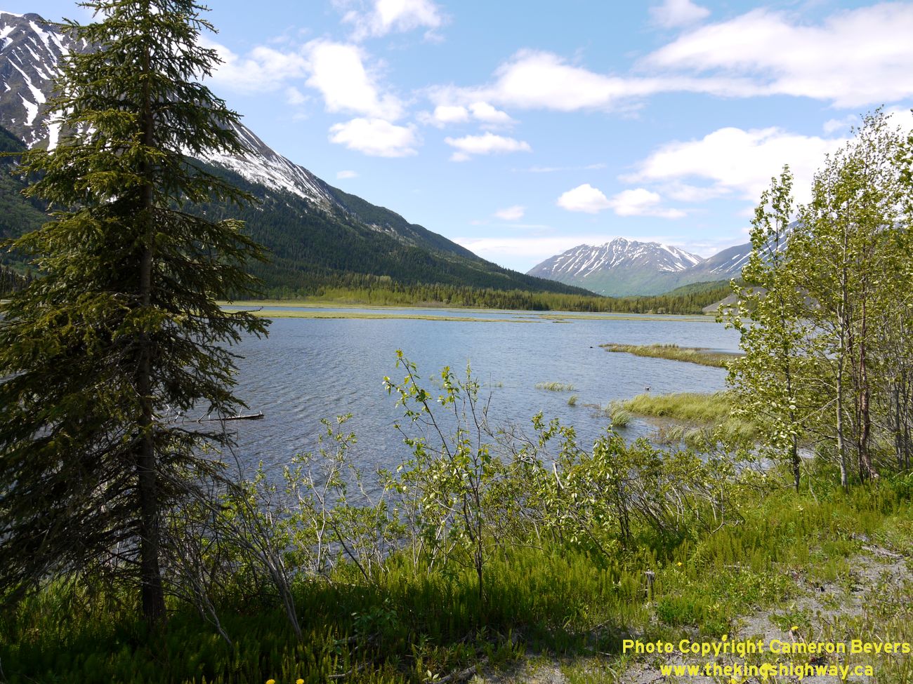
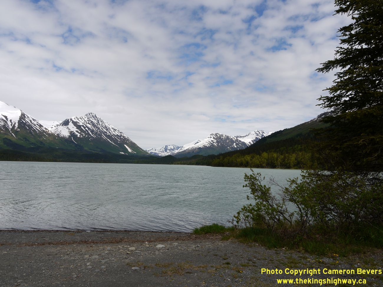
Left - View of scenic Upper Trail Lake from Hwy 9 near Moose Pass. The Seward Highway skirts several lakes between the Hwy 1 Junction and Seward. See an
Enlarged Photo Here. (Photograph taken on June 11, 2012 - © Cameron Bevers) Right - Facing north along the Seward Highway (Hwy 9) at Moose Pass. This small community lines the shores of Upper Trail Lake, about 30 miles north of Seward. (Photograph taken on June 11, 2012 - © Cameron Bevers) 
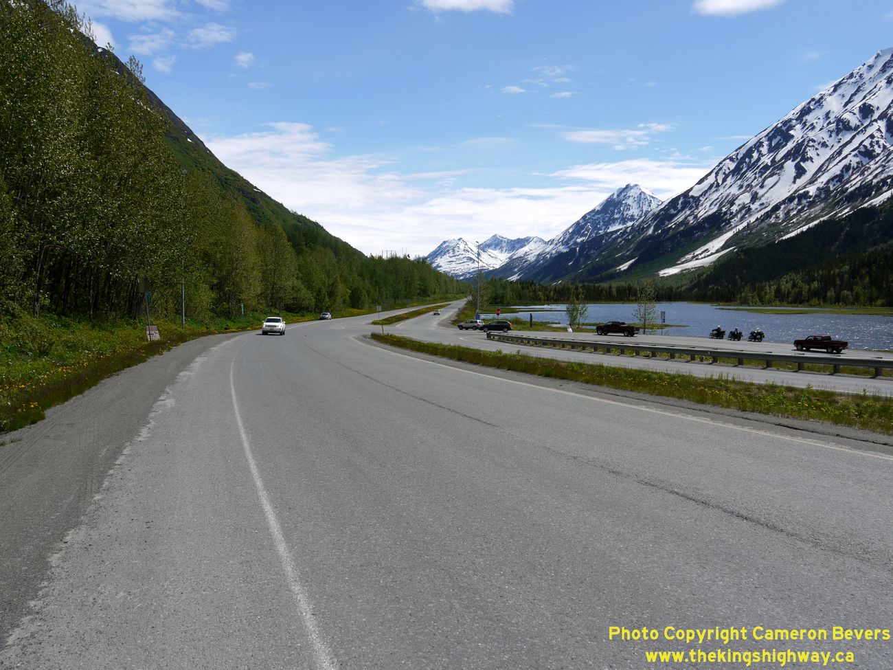
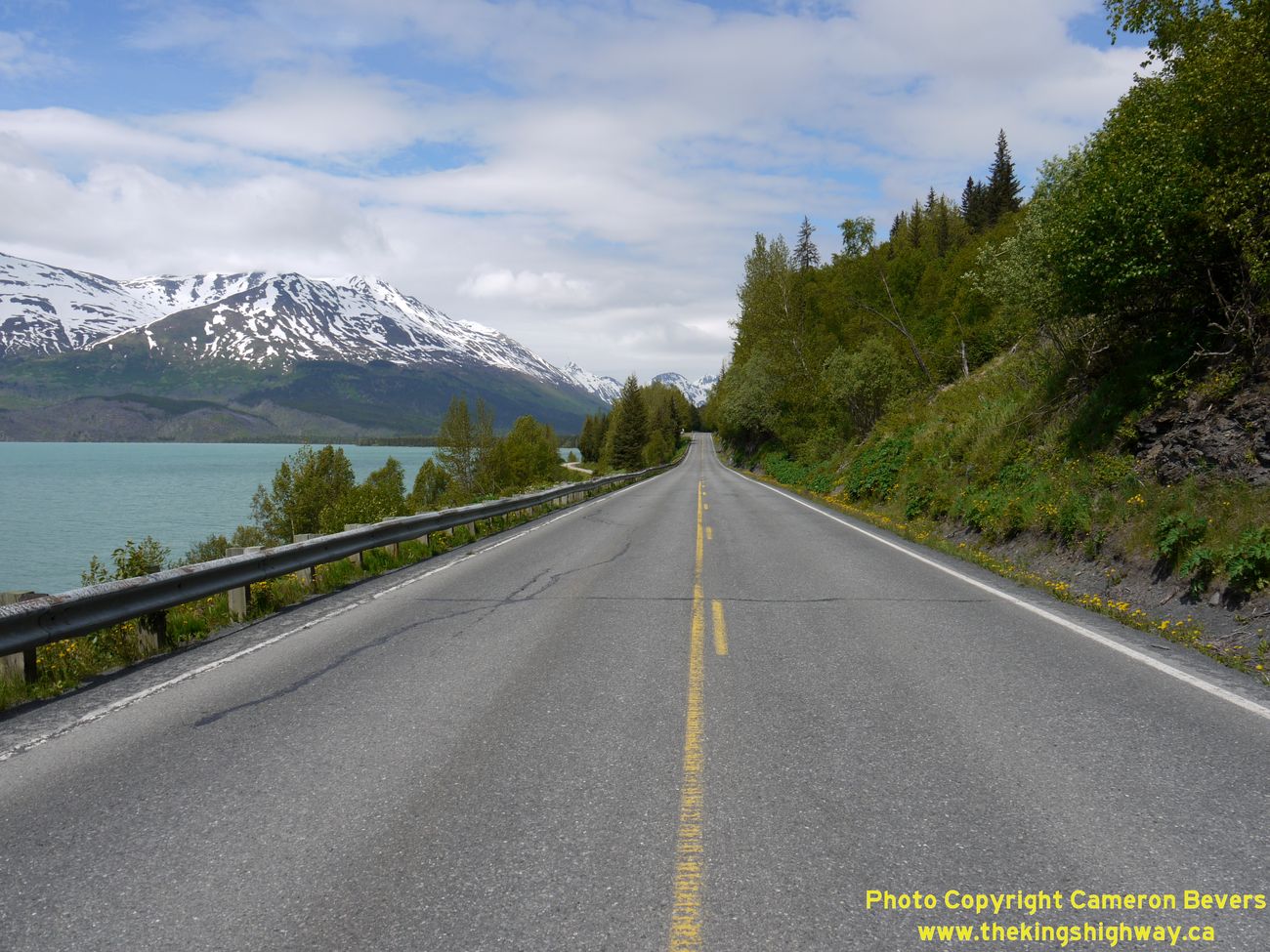
Left - The spectacular Seward Highway (Hwy 9) passes by Kenai Lake on its route north towards Anchorage. See
an Enlarged Photo Here. (Photograph taken on June 11, 2012 - © Cameron Bevers) Right - Scenic view of Kenai Lake from a roadside lookout on the Seward Highway (Hwy 9) between Moose Pass and Seward. See an Enlarged Photo Here. (Photograph taken on June 11, 2012 - © Cameron Bevers) 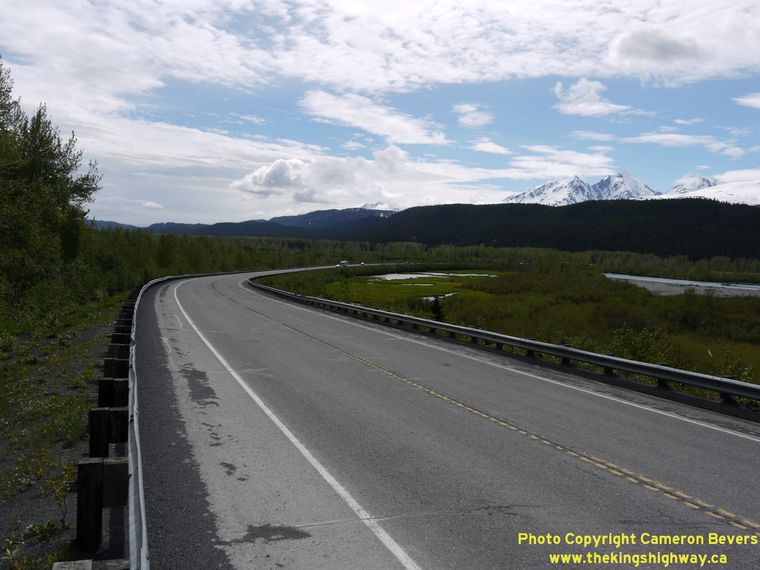
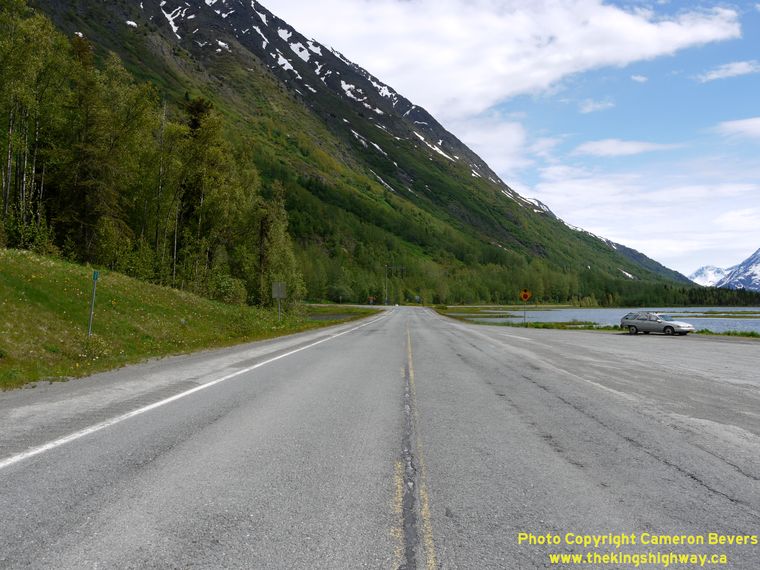
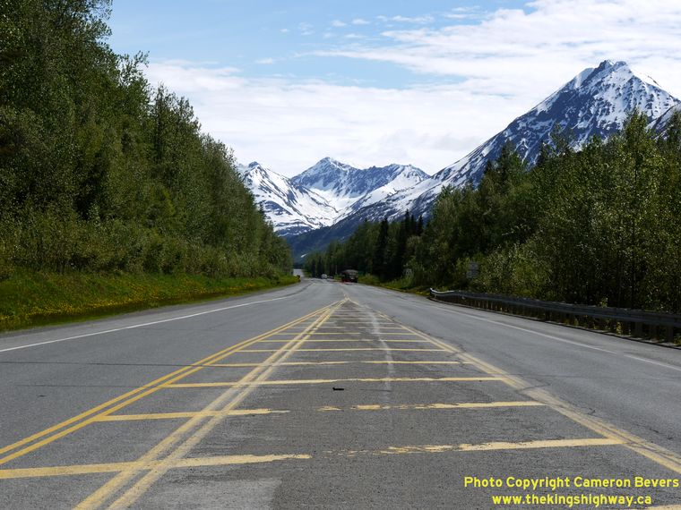
Left - Facing south along Hwy 9 towards the Snow River Bridge at the south end of Kenai Lake. Snow-capped Mount Ascension is visible at right. See an
Enlarged Photo Here. (Photograph taken on June 11, 2012 - © Cameron Bevers) Right - Distance sign along the Northbound Seward Highway (Hwy 9) near Kenai Lake. (Photograph taken on June 11, 2012 - © Cameron Bevers) 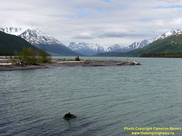
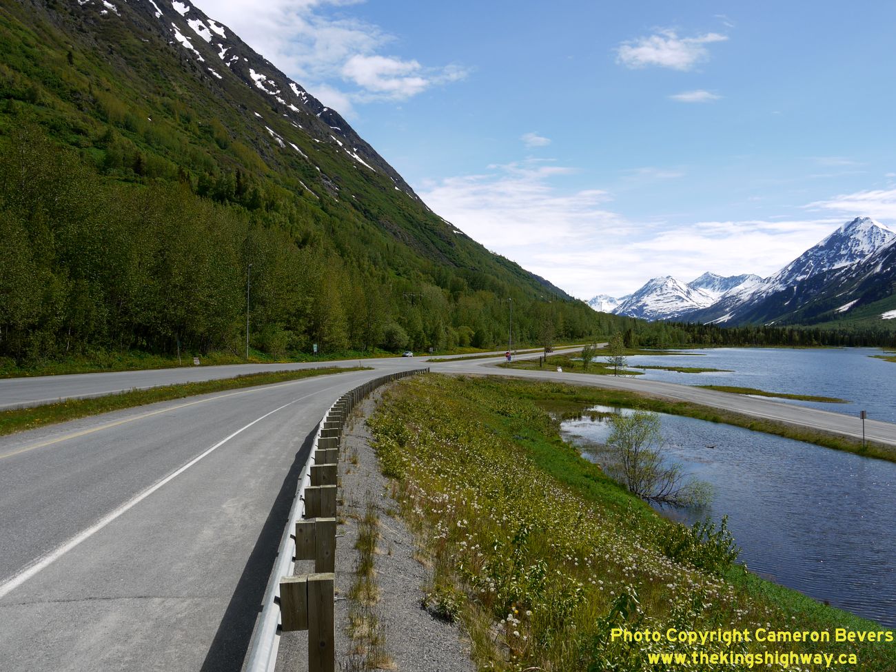
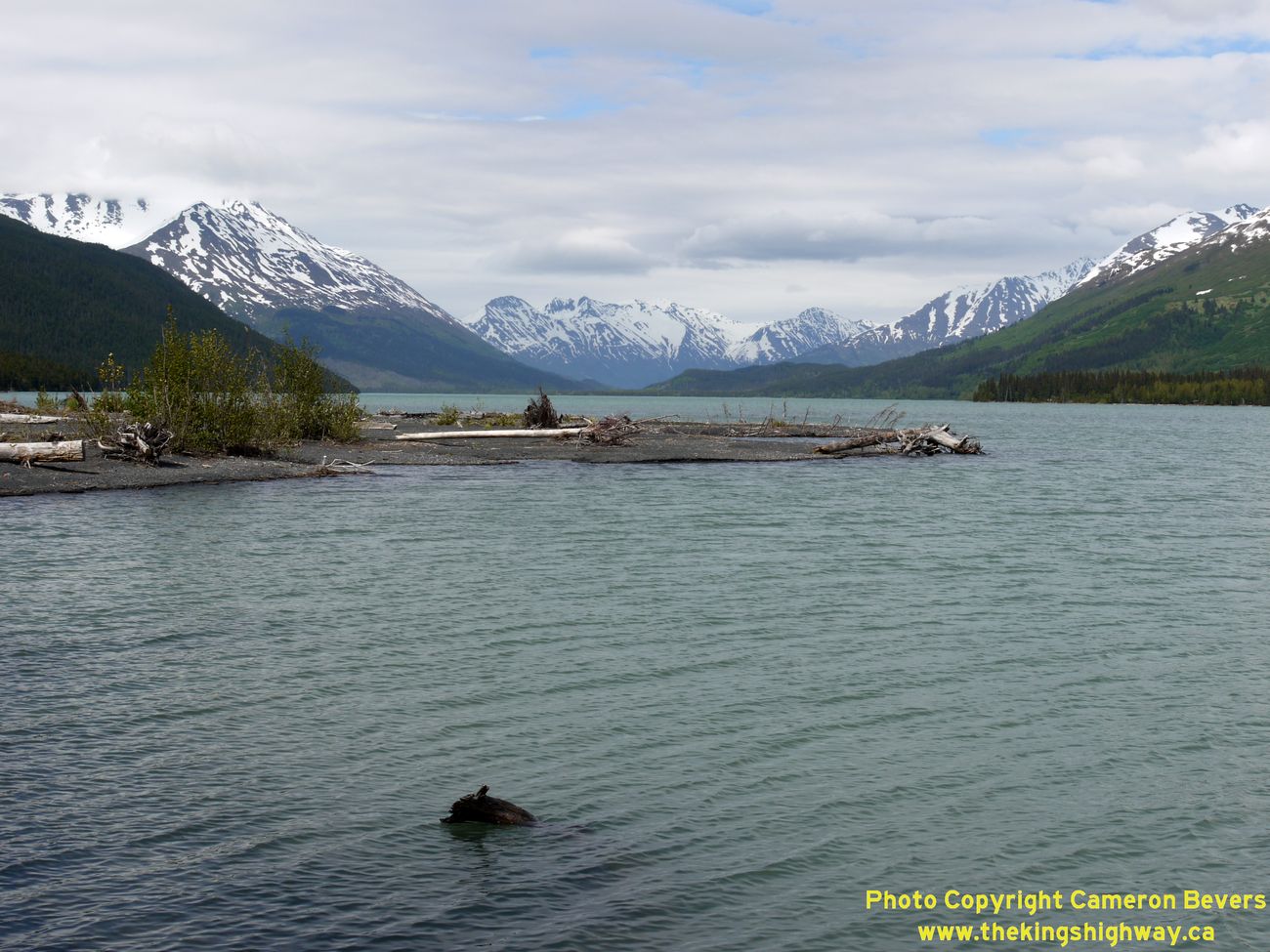
Left - View of Kenai Lake on the Seward Highway (Hwy 9). Kenai Lake is the largest of the alpine lakes on the Kenai Peninsula, stretching over 20 miles
through the rugged Alaskan mountains. Many of the mountain peaks surrounding Kenai Lake exceed 5,000 feet in elevation. See an
Enlarged Photo Here. (Photograph taken on June 11, 2012 - © Cameron Bevers) Right - Distance sign along the Southbound Seward Highway (Hwy 9) near the Snow River Bridge. (Photograph taken on June 11, 2012 - © Cameron Bevers) 
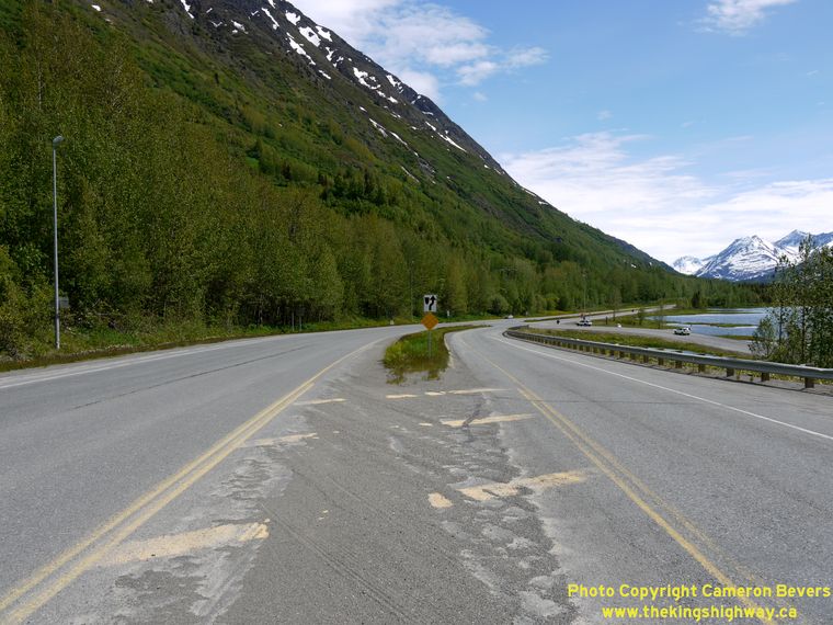
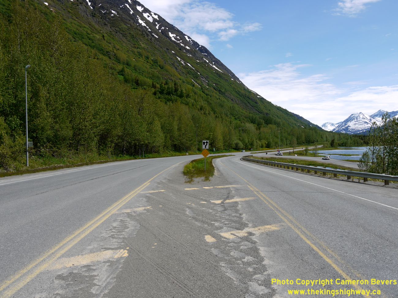
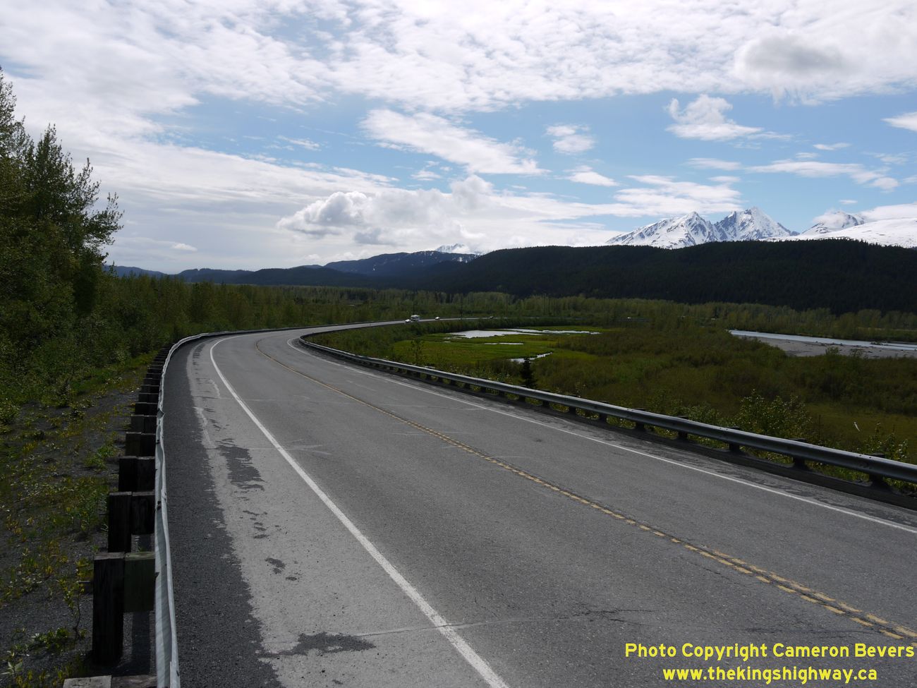
Left - A sweeping reverse curve on the Seward Highway (Hwy 9), facing north towards Kenai Lake. See an
Enlarged Photo Here. (Photograph taken on June 11, 2012 - © Cameron Bevers) Right - Sheep Mountain rises above the scenic Seward Highway (Hwy 9), facing north towards Anchorage. (Photograph taken on June 11, 2012 - © Cameron Bevers) 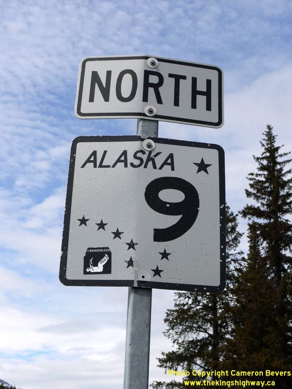
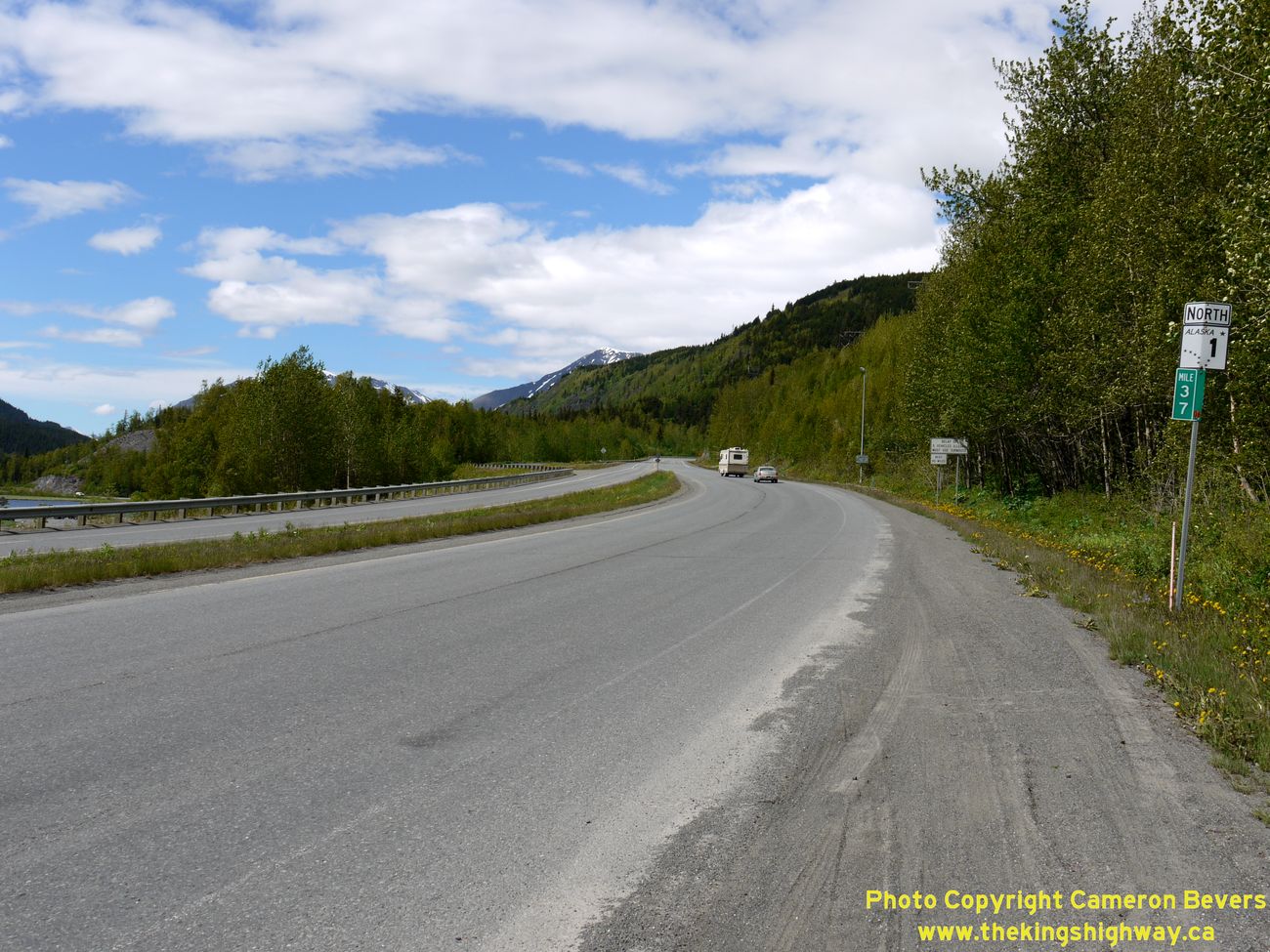
Above - Alaska Hwy 9 route marker along the Seward Highway between Kenai Lake and Seward. (Photograph taken on June 11, 2012 - © Cameron Bevers) 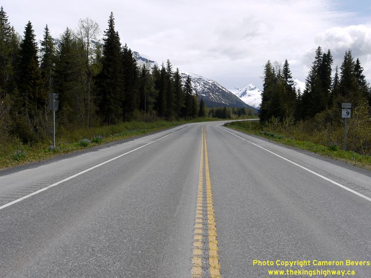
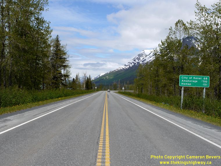
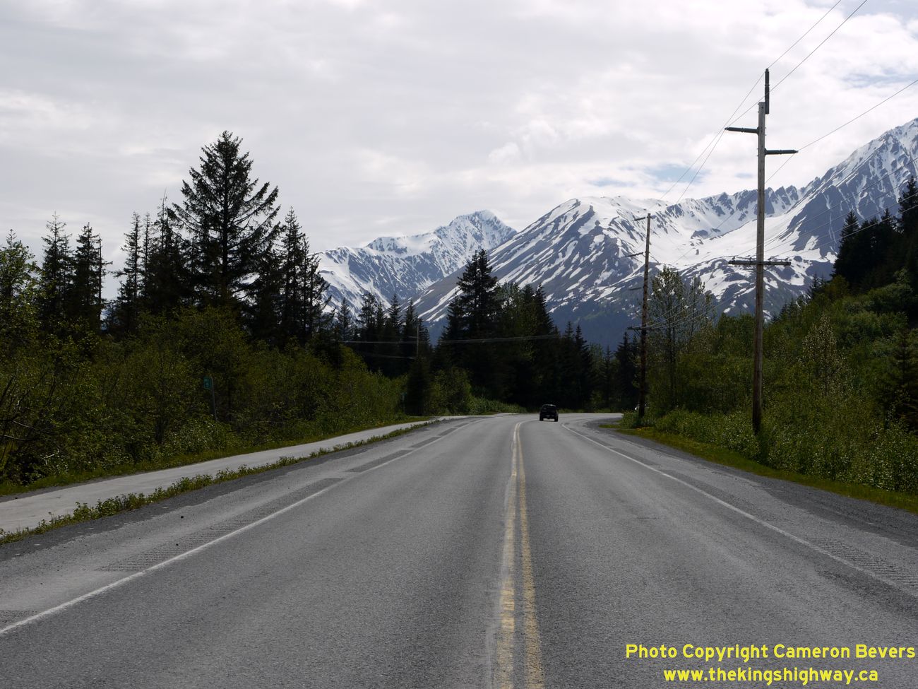
Left - Facing south towards Seward along the Seward Highway (Hwy 9). (Photograph taken on June 11, 2012 - © Cameron Bevers) Right - Facing north towards Anchorage along the Seward Highway (Hwy 9). (Photograph taken on June 11, 2012 - © Cameron Bevers) 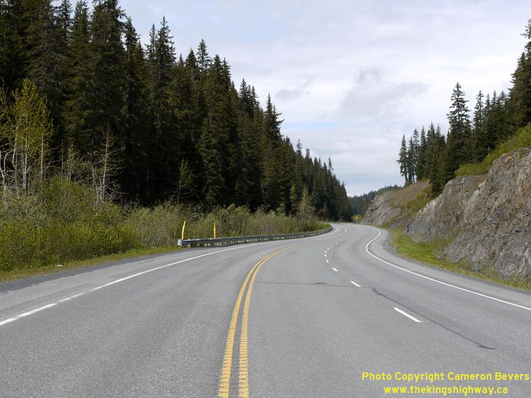

Left - Passing lane on the Northbound Seward Highway (Hwy 9), about 5 miles north of Seward. (Photograph taken on June 11, 2012 - © Cameron Bevers) Right - Approaching Seward on Hwy 9, facing south. Seward is located on Resurrection Bay, a virtually land-locked fjord with glacier-covered mountains rising from each side of the inlet. A narrow passage leads north through the mountains towards Anchorage, through which the Seward Highway and the Alaska Railroad pass. See an Enlarged Photo Here. (Photograph taken on June 11, 2012 - © Cameron Bevers) 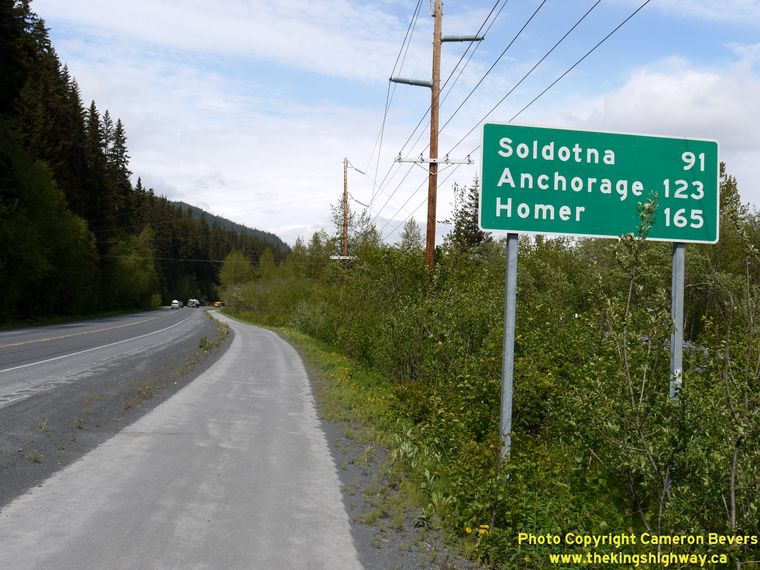
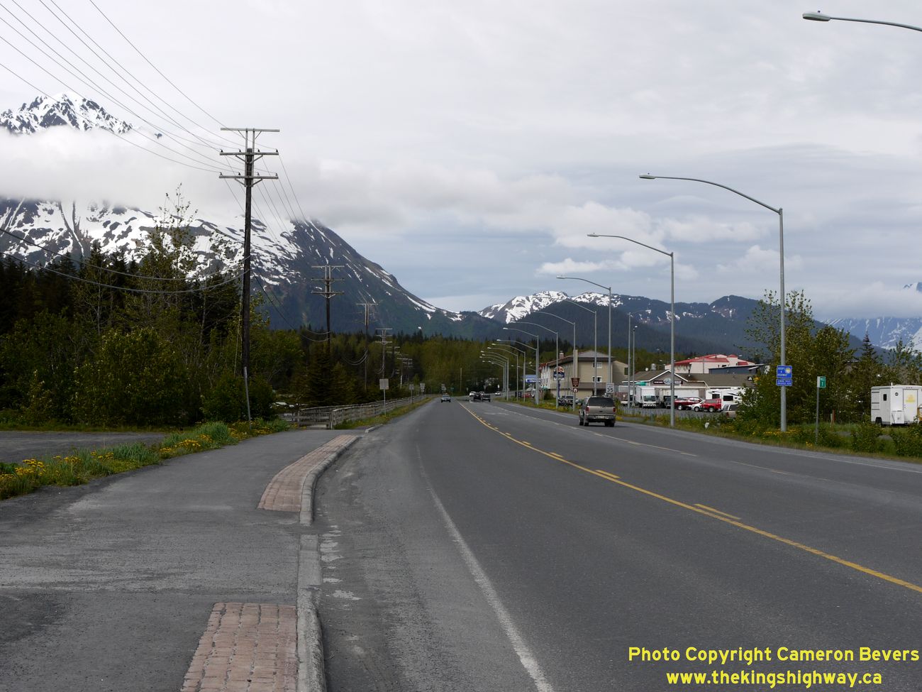
Left - Distance sign on the Northbound Seward Highway (Hwy 9) departing Seward. (Photograph taken on June 11, 2012 - © Cameron Bevers) Right - Facing north along the Seward Highway (Hwy 9) from the Exit Glacier Road Intersection in Seward. See an Enlarged Photo Here. (Photograph taken on June 11, 2012 - © Cameron Bevers) 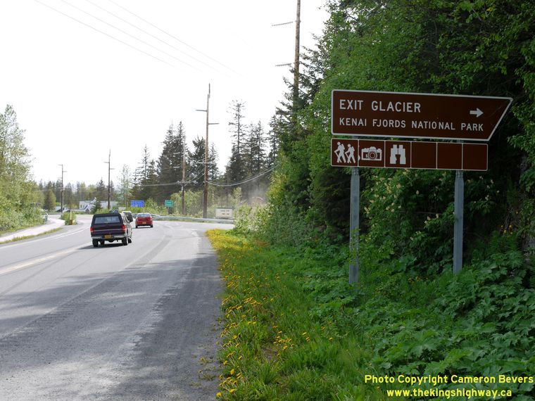

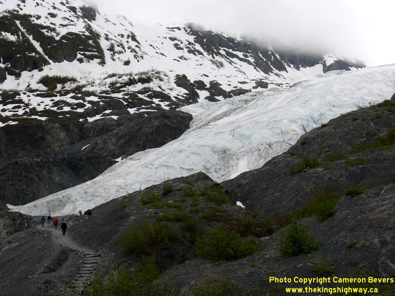
Left - Guide sign for the Exit Glacier Turn-Off on Hwy 9 north of Seward. I find Alaska's "angled" brown guide signs to be particularly interesting. In my
home province of Ontario (Canada), "angled" signs such as this one were used to mark exits on freeways for the better part of two decades, until they were replaced
with rectangular signs in the 1980s. For me, it is rather nostalgic to see signs of similar design still in use in other jurisdictions (Photograph taken on June 11, 2012 - © Cameron Bevers) Right - View of the Exit Glacier near Hwy 9 north of Seward. The Exit Glacier is one of Alaska's most visited glaciers, mostly because it is easily accessible. It is located only a short distance west of Hwy 9. Alaskan glaciers are quite the sight to see. Although the state has roughly 100,000 glaciers covering an estimated 29,000 square miles, most of the glaciers are in very remote and inaccessible parts of the state. The Exit Glacier is fed by the massive Harding Icefield, which covers a substantial portion of the Kenai Peninsula. Exit Glacier may seem stationary, but it is in fact constantly in motion, gradually sliding down the mountainside pulled by gravity and pushed from behind by new ice forming in the icefield. See an Enlarged Photo Here. (Photograph taken on June 11, 2012 - © Cameron Bevers) 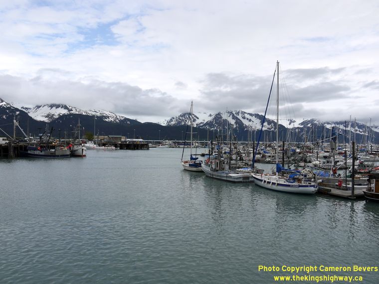

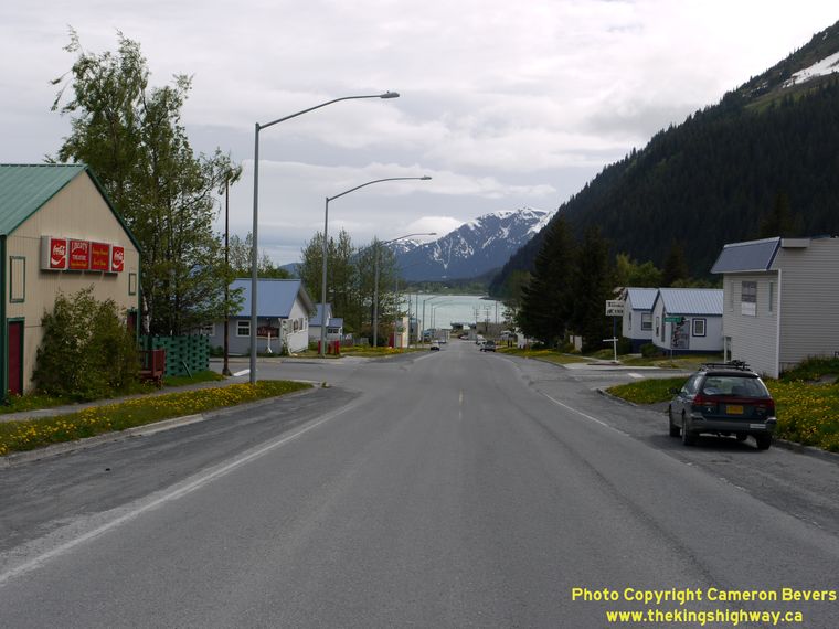
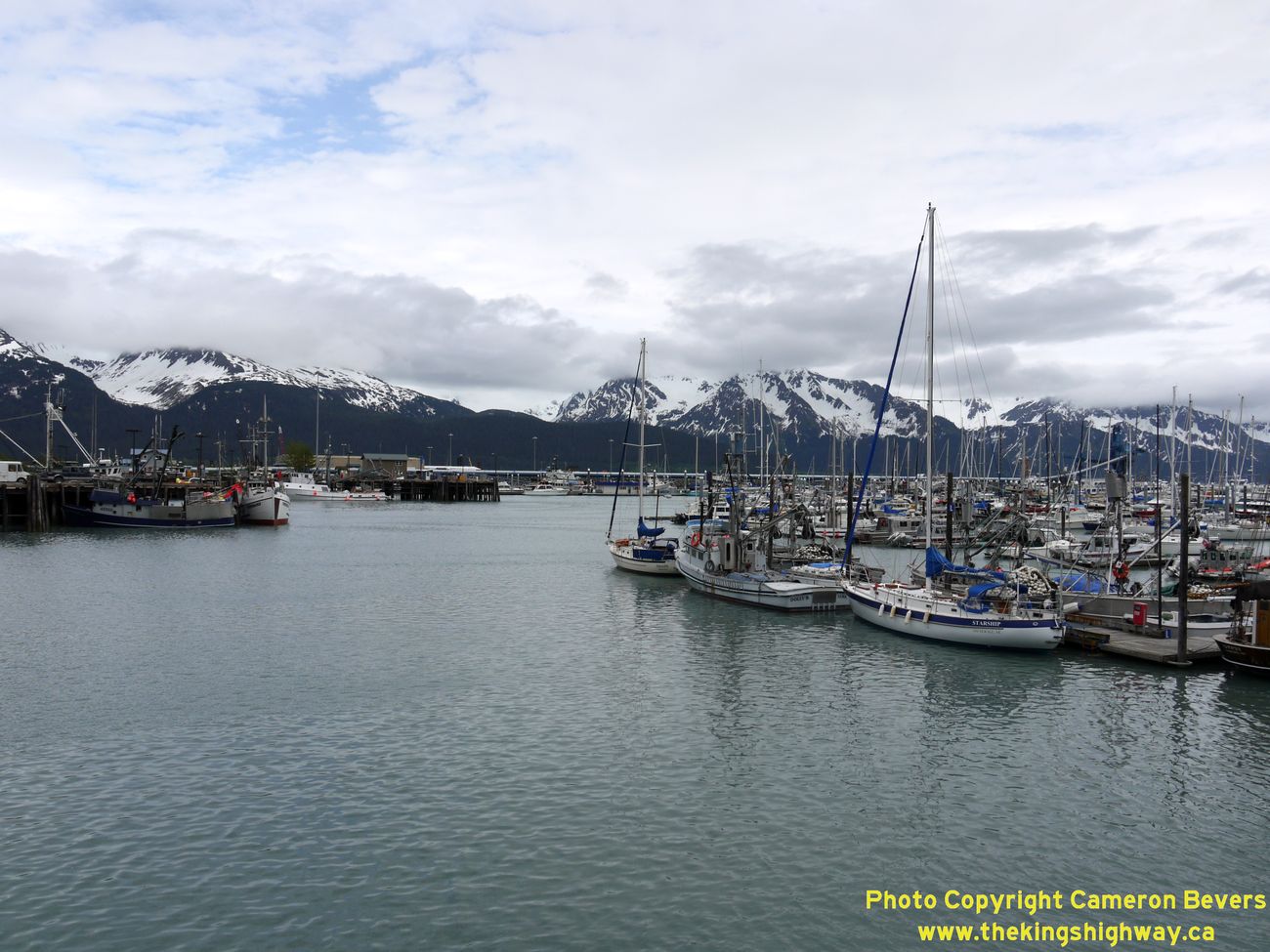
Left - View of scenic Seward Harbor, located on the eastern side of Hwy 9. See an
Enlarged Photo Here. (Photograph taken on June 11, 2012 - © Cameron Bevers) Right - Approaching Seward Harbor on Northbound Hwy 9 near Van Buren Street. See an Enlarged Photo Here. (Photograph taken on June 11, 2012 - © Cameron Bevers) 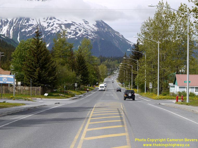
Left - Hwy 9 (3rd Avenue) in Seward, facing north from Monroe Street. See an
Enlarged Photo Here. (Photograph taken on June 11, 2012 - © Cameron Bevers) Right - Facing south along 3rd Avenue (Hwy 9) near Adams Street in Seward. The Seward Highway ends two blocks ahead, at Railway Avenue. See an Enlarged Photo Here. (Photograph taken on June 11, 2012 - © Cameron Bevers) 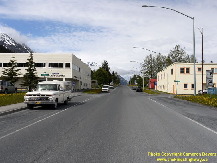
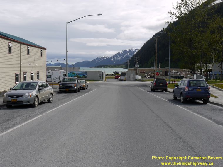
Left - Facing north from the southern terminus of the Seward Highway (Hwy 9) at 3rd Avenue and Railway Avenue in Seward. See an
Enlarged Photo Here. (Photograph taken on June 11, 2012 - © Cameron Bevers) Right - Southern terminus of the Seward Highway (Hwy 9) at 3rd Avenue and Railway Avenue in Seward. The Seward Highway heads north for approximately 127 miles to Anchorage. No roads lead south from Seward for any great distance. The Alaska Marine Highway System offers ferry service from Seward to several seaside communities without mainland road access. (Photograph taken on June 11, 2012 - © Cameron Bevers)
Return to Tern Lake Junction to continue south along Alaska Highway 1 (Sterling Highway) Return to Anchorage to continue north along Alaska Highway 1 (Glenn Highway) |
|---|
Links to Other Ontario Highway History Website Sections:
Back to Alaska Highway 8 Photos /
Alaska Highways Photo Index /
On to Alaska Highway 10 Photos
Vacation Highway Photos - Main Menu / Ontario Highway History - Main Menu Website contents, photos & text © 2002-2026, Cameron
Bevers (Webmaster) - All Rights Reserved / Contact Me
|
|---|