
| 
| |
|
|
This page contains photographs of British Columbia's Highway 99 (Duffey Lake Road), arranged by location from Pemberton
northerly to Duffey Lake. All photographs displayed on this page were taken by the Webmaster (Cameron Bevers). To view photos of other British Columbia Highways,
please select a highway number listed on the British Columbia Photograph Index Page. Click on any
thumbnail to see a larger image!
Please note that all photographs displayed on this website are protected by copyright. These photographs must not be
reproduced, published, electronically stored or copied, distributed, or posted onto other websites without my written permission. If you want to use photos from this
website, please email me first for permission. Thank-you!
|
|---|
|
Page 5: BC Highway 99 (Duffey Lake Road) Photographs: Pemberton to Duffey Lake


Left - Approaching Pemberton on Hwy 99, facing south towards Pemberton Portage Road. This is the main entrance road into Pemberton. Motorists heading north on
Hwy 99 should fill up with fuel before leaving Pemberton and Mount Currie, as there are no services available along Hwy 99 between this area and Lillooet, which lies
100 km (60 miles) away. See an Enlarged Photo Here. (Photograph taken on May 29, 2015 - © Cameron Bevers) Right - Distance guide sign on northbound Hwy 99 in Pemberton. See an Enlarged Photo Here. (Photograph taken on May 29, 2015 - © Cameron Bevers) 
Left - Distance guide sign on northbound Hwy 99 about 1 km north of Pemberton. Distances are given to Lillooet and Mount Currie on Hwy 99, as well as two
smaller communities located north of Pemberton off of Hwy 99. See an Enlarged Photo Here. (Photograph taken on May 29, 2015 - © Cameron Bevers) Right - Snow-capped Mount Currie rises sharply above Hwy 99 north of Pemberton. With no foothills in the foreground, the view up towards the summit from the valley floor is particularly impressive. The summit of Mount Currie is about 2,590 m (8,500 feet) above sea level. See an Enlarged Photo Here. (Photograph taken on May 29, 2015 - © Cameron Bevers) 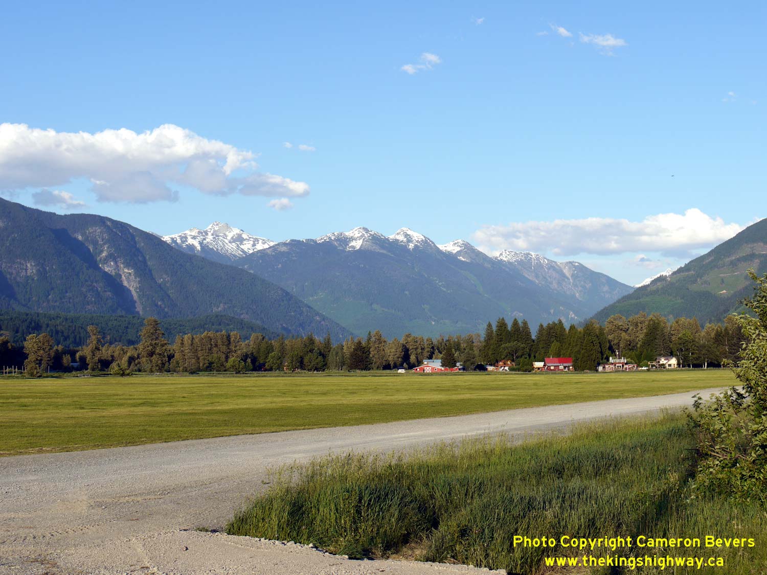
Left - This spectacular mountain vista appears along Hwy 99 about 4 km north of Pemberton. See an
Enlarged Photo Here. (Photograph taken on May 29, 2015 - © Cameron Bevers) Right - Guide sign on northbound Hwy 99 approaching the community of Mount Currie. Hwy 99 turns right in the centre of the community and begins its trek northeasterly across the mountains towards Lillooet. See an Enlarged Photo Here. (Photograph taken on May 29, 2015 - © Cameron Bevers) 
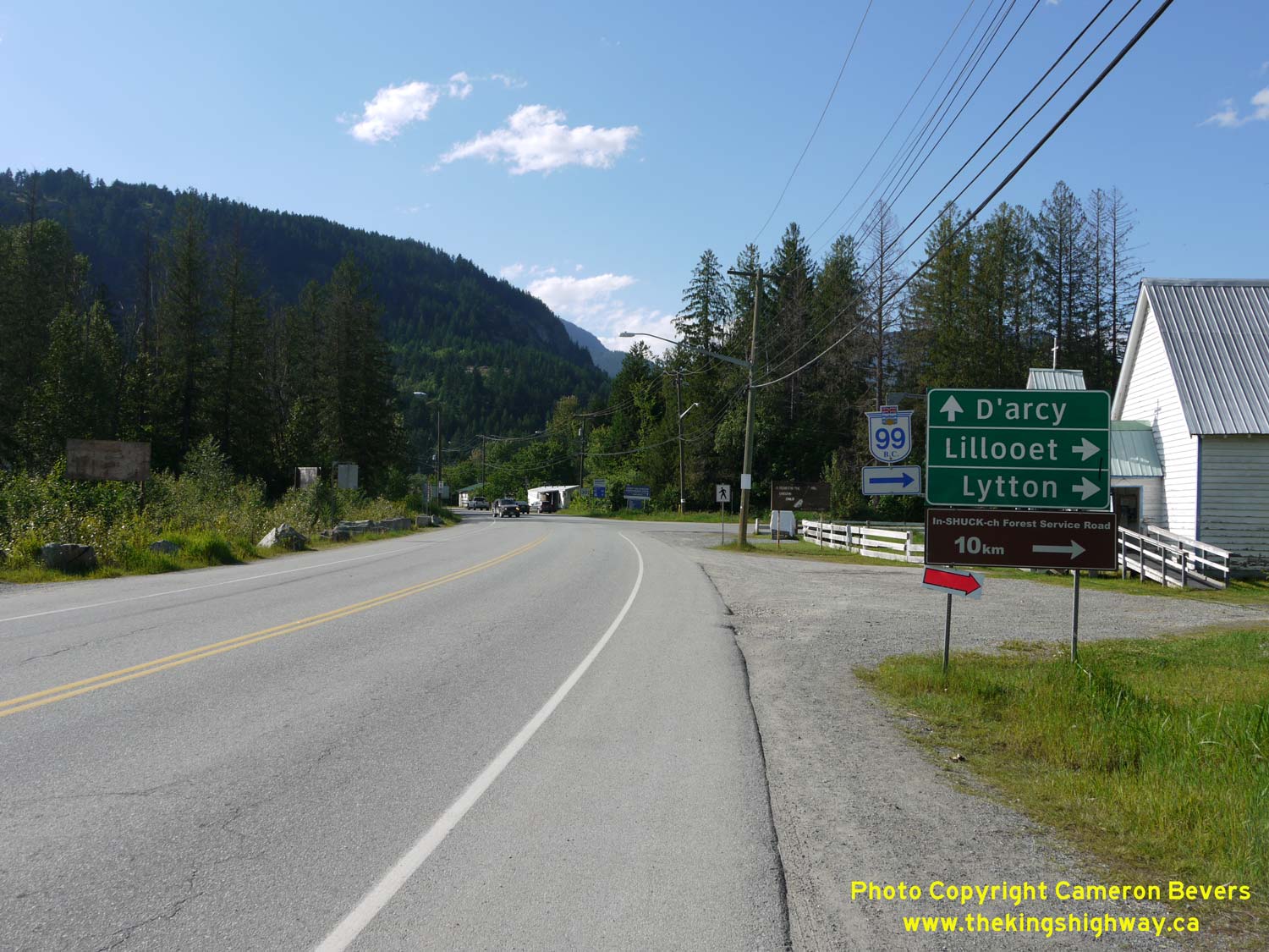
Left - This side view of Mount Currie appears beside Hwy 99 about 6 km north of Pemberton. See an
Enlarged Photo Here. (Photograph taken on May 29, 2015 - © Cameron Bevers) Right - Facing north along Hwy 99 towards the turn-off to Lillooet at Mount Currie. The through road continues north to D'Arcy on Anderson Lake. See an Enlarged Photo Here. (Photograph taken on May 29, 2015 - © Cameron Bevers) 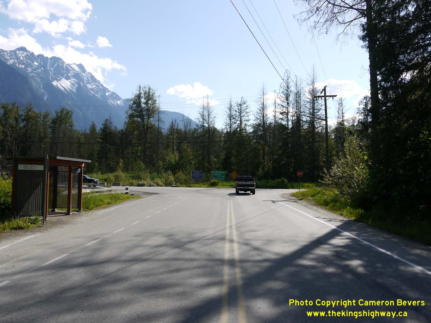

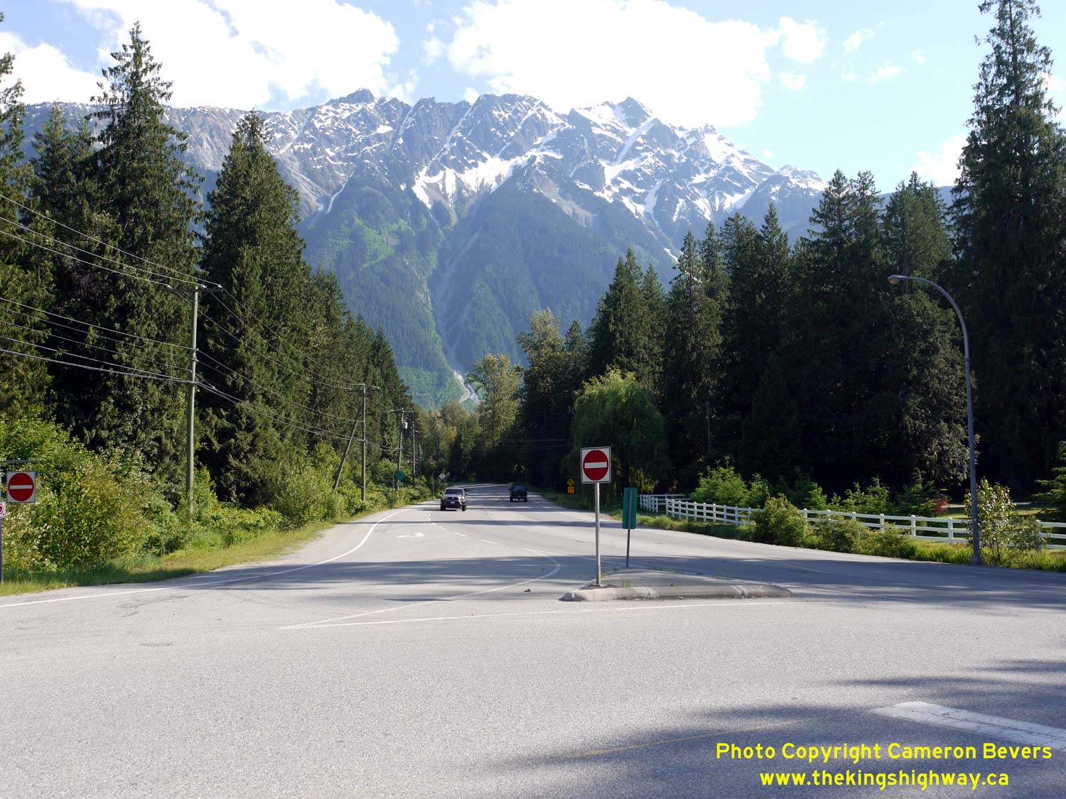
Left - Approaching the turn-off on Hwy 99 in Mount Currie, facing south. Traffic heading south towards Pemberton and Vancouver must turn left at this
intersection. See an Enlarged Photo Here. (Photograph taken on May 29, 2015 - © Cameron Bevers) Right - Distance guide sign on northbound Hwy 99 departing Mount Currie. Hwy 99 ends at the Hwy 97 Junction a short distance north of Cache Creek. See an Enlarged Photo Here. (Photograph taken on May 29, 2015 - © Cameron Bevers) 

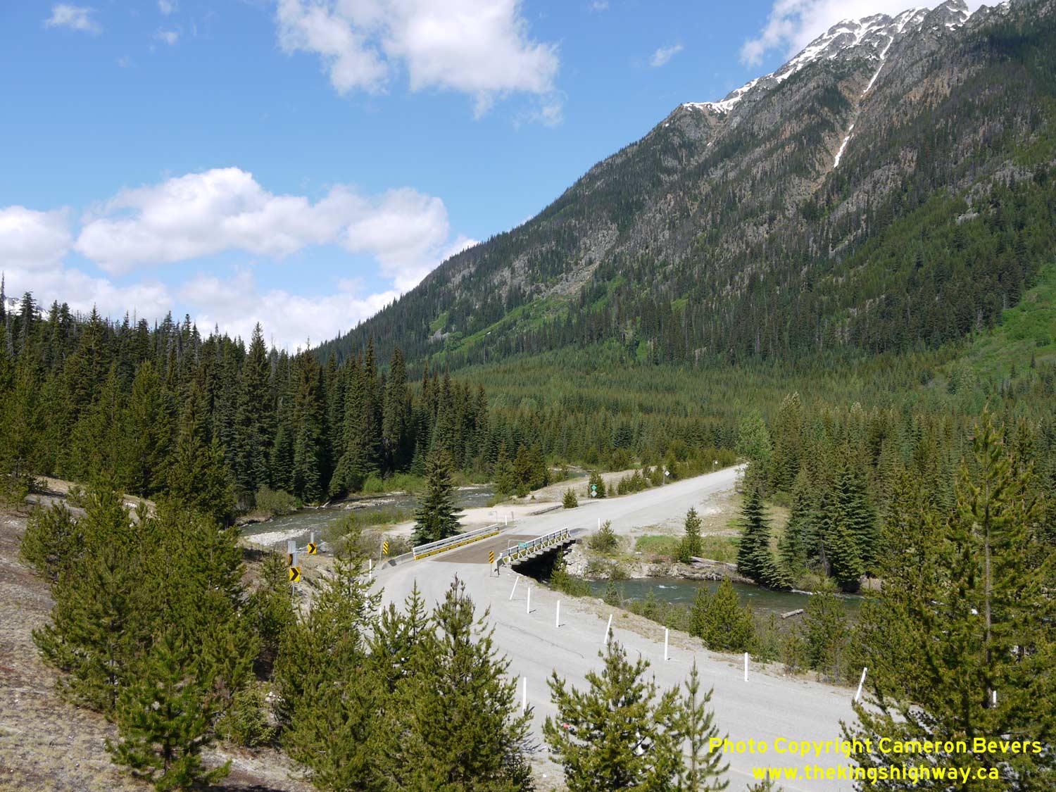
Left - Hwy 99 briefly follows the shores of Lillooet Lake. The views of the coastal mountains surrounding this lake are simply breathtaking! See an
Enlarged Photo Here. (Photograph taken on May 29, 2015 - © Cameron Bevers) Right - Facing south along Hwy 99 towards Lillooet Lake from the In-SHUCK-ch Forest Service Road. See an Enlarged Photo Here. (Photograph taken on May 29, 2015 - © Cameron Bevers) 
Left - Approaching the avalanche closure gates on Hwy 99 north of the In-SHUCK-ch Forest Service Road. Although the Duffey Lake Road (Hwy 99) is maintained
across Cayoosh Pass throughout the winter, this high mountain pass is sometimes closed temporarily due to heavy snowfall and avalanche hazards. Beyond the avalanche
closure gates, Hwy 99 climbs very quickly up towards Cayoosh Pass. See an
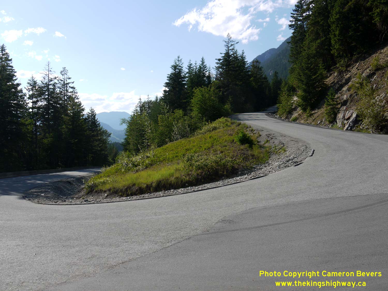
Enlarged Photo Here. (Photograph taken on May 29, 2015 - © Cameron Bevers) Right - This switchback in Hwy 99 is approximately 310 metres (1,020 feet) in elevation above sea level. At this point, the highway has already climbed 100 metres above Lillooet Lake. The Duffey Lake Road (Hwy 99) climbs about another 1,000 metres in elevation (3,280 feet) before reaching Cayoosh Pass. See an Enlarged Photo Here. (Photograph taken on May 29, 2015 - © Cameron Bevers) 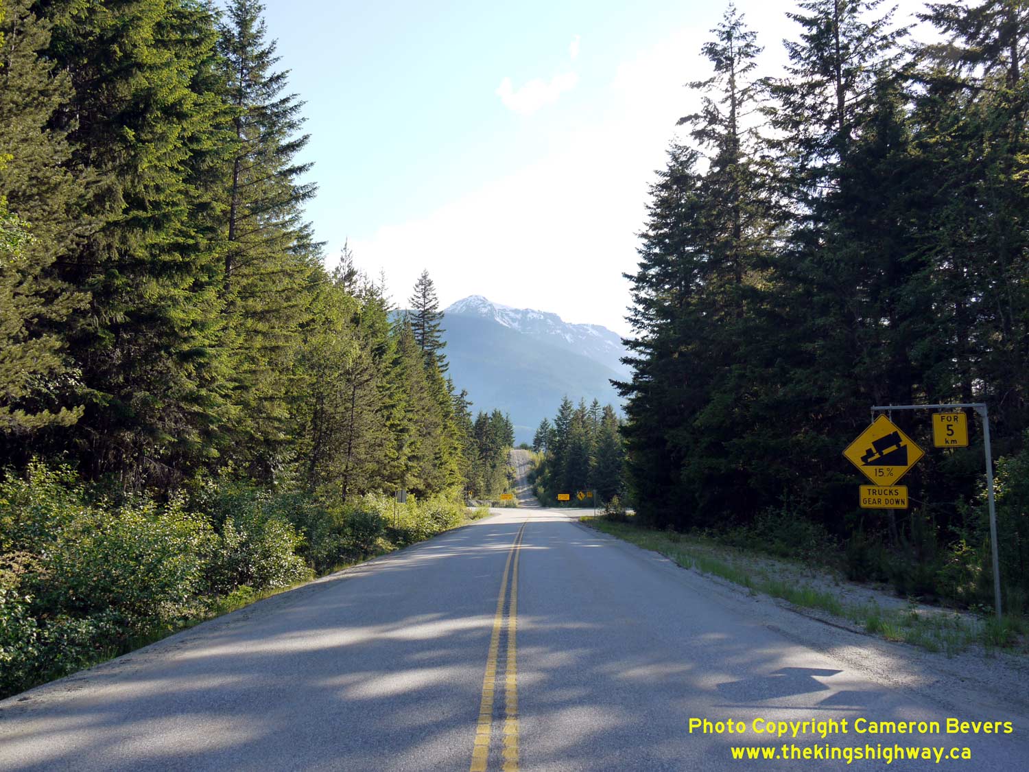
Left - Warning sign on southbound Hwy 99 advising trucks of steep grades ahead. Note the runaway truck ramp in the background. Several of these ramps exist
along Hwy 99 between Pemberton and Lillooet. See an Enlarged Photo Here. (Photograph taken on May 29, 2015 - © Cameron Bevers) Right - Facing north along Hwy 99 from the truck brake check area, located about 4 km north of Lillooet Lake. Even though Hwy 99 passes through an extremely remote mountainous area, the highway is still quite well-travelled. See an Enlarged Photo Here. (Photograph taken on May 29, 2015 - © Cameron Bevers) 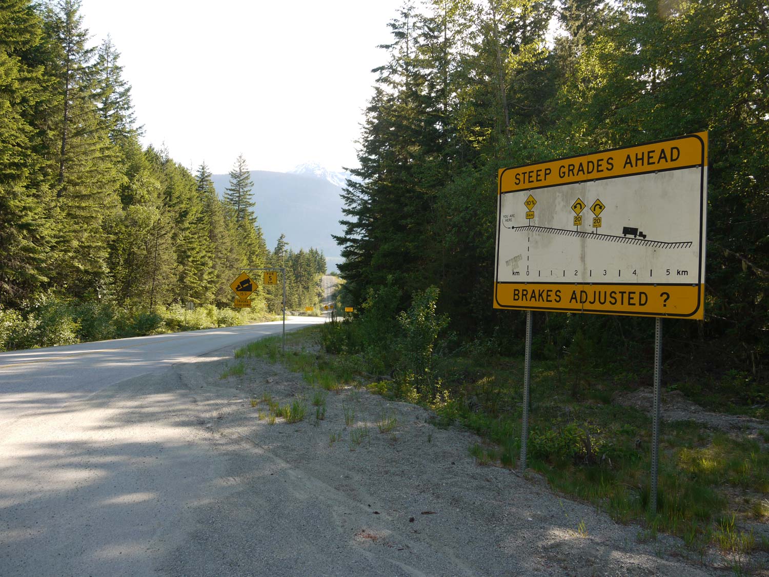
Left - This unusual warning sign shows the vertical profile of Hwy 99 along with the approximate location of the two hairpin turns. See an
Enlarged Photo Here. (Photograph taken on May 29, 2015 - © Cameron Bevers) Right - Facing north along Hwy 99 towards Cayoosh Pass, about 9 km north of Lillooet Lake. Cayoosh Mountain can be seen along the western side of the highway. See an Enlarged Photo Here. (Photograph taken on May 30, 2015 - © Cameron Bevers) 

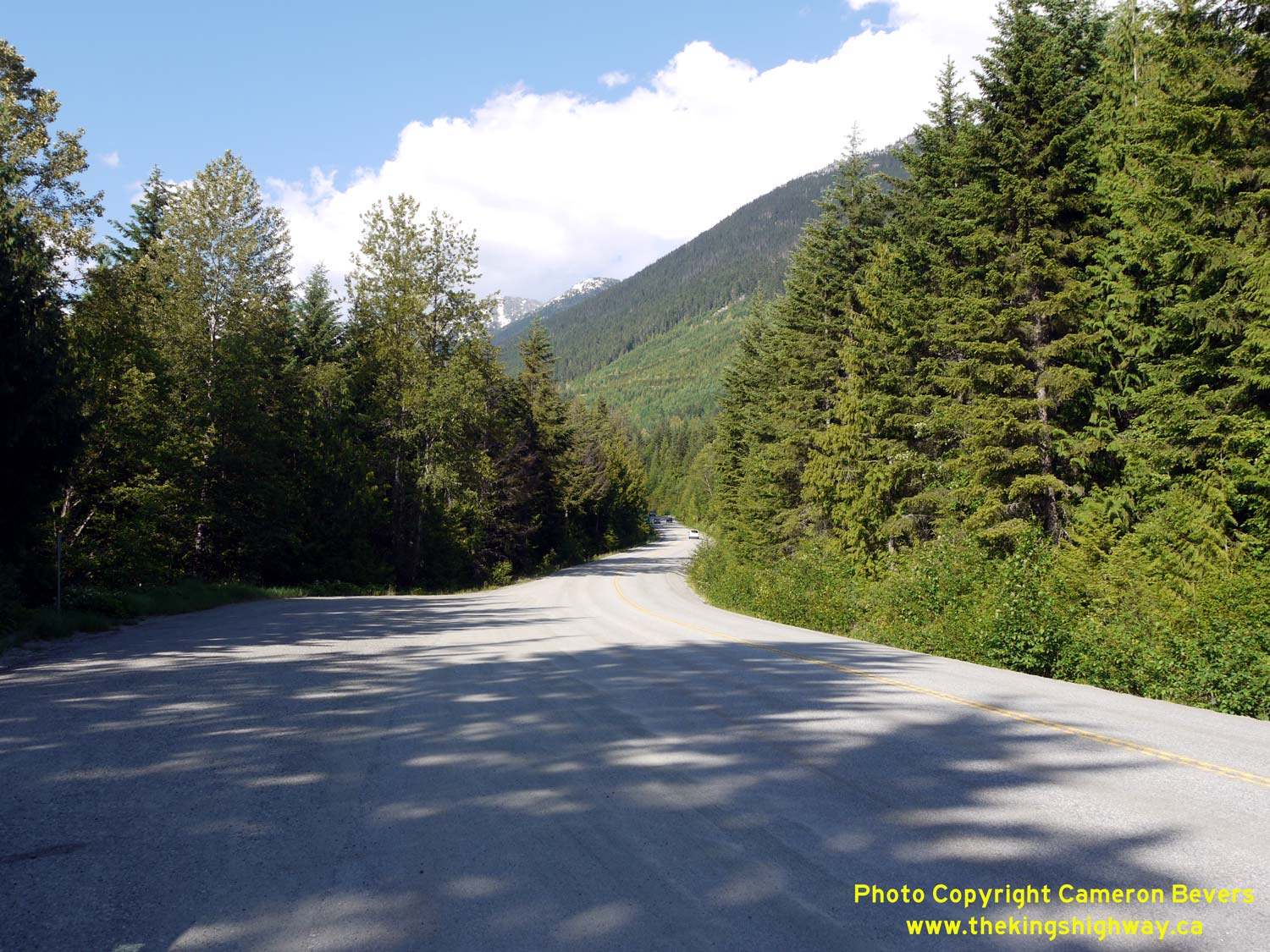
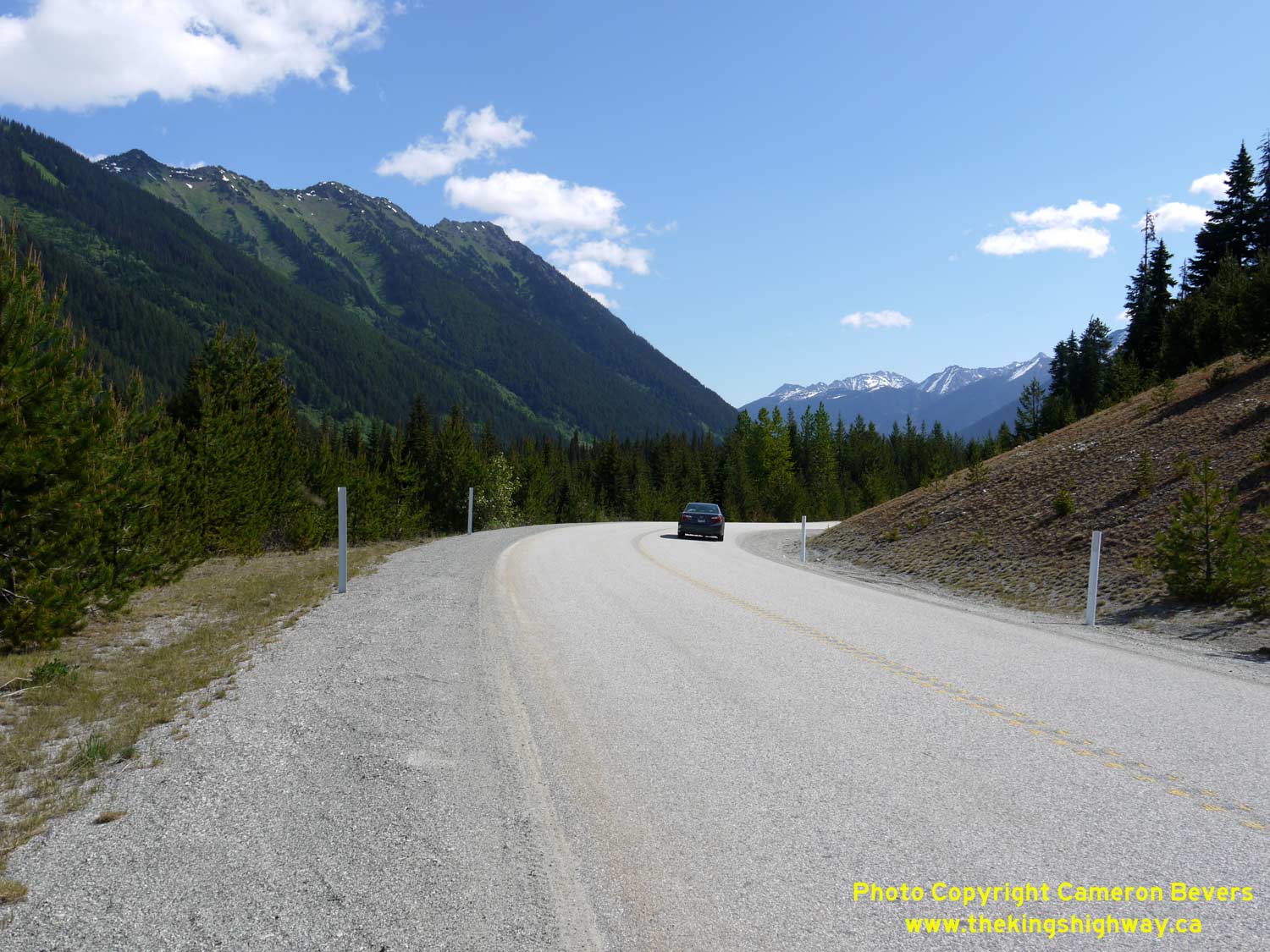
Left - Facing south along Hwy 99 towards Pemberton, about 9 km north of Lillooet Lake. See an
Enlarged Photo Here. (Photograph taken on May 30, 2015 - © Cameron Bevers) Right - Facing south along Hwy 99, about 10 km north of Lillooet Lake. See an Enlarged Photo Here. (Photograph taken on May 29, 2015 - © Cameron Bevers) 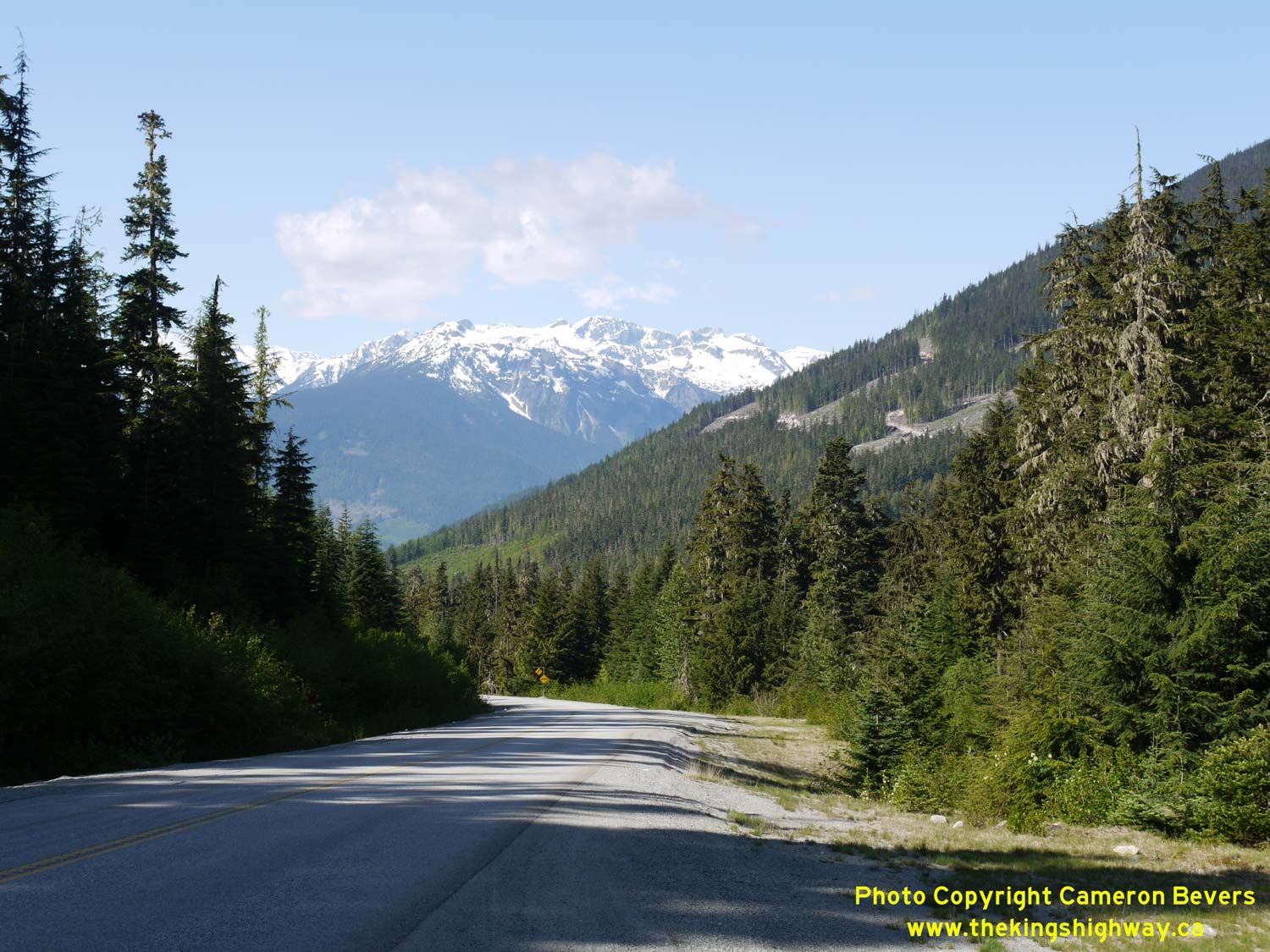

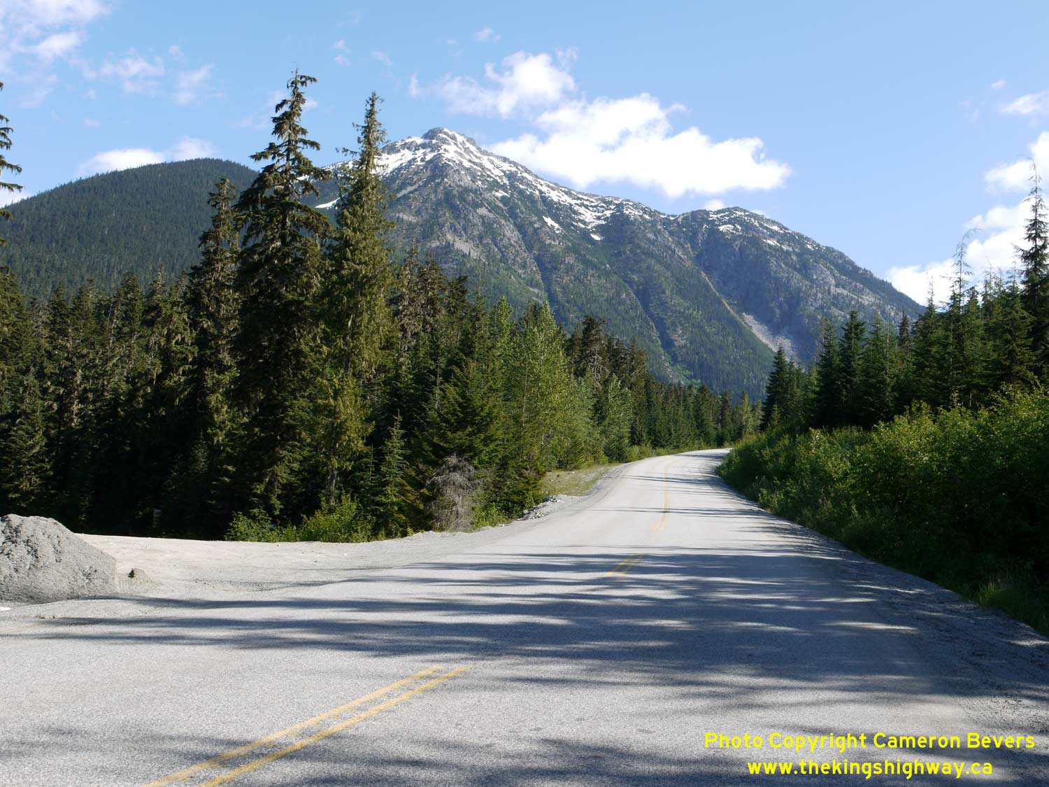
Left - As Hwy 99 climbs towards Cayoosh Pass, the size of the mountains of the Garibaldi Range on the western side of Lillooet Lake become very apparent. See
an Enlarged Photo Here. (Photograph taken on May 30, 2015 - © Cameron Bevers) Right - Cayoosh Mountain appears in this scenic view of Hwy 99, about 12 km north of Lillooet Lake. Although they aren't visible from this side of the mountain, several glaciers exist on the northern and eastern sides of Cayoosh Mountain. The summit is approximately 2,550 metres (8,365 feet) above sea level. See an Enlarged Photo Here. (Photograph taken on May 30, 2015 - © Cameron Bevers) 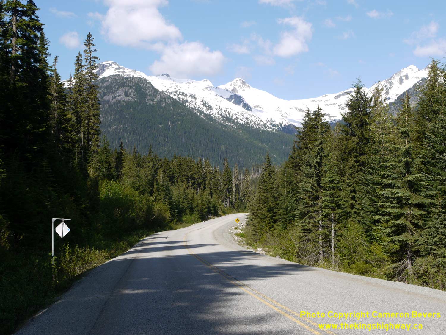
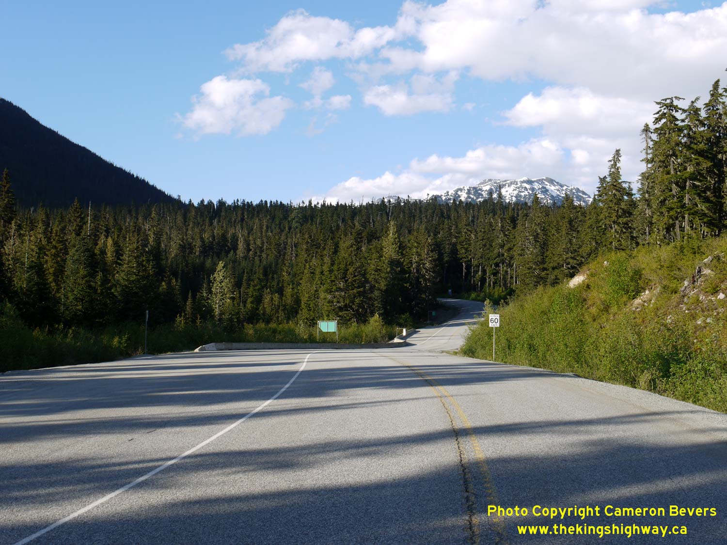
Left - Facing south along Hwy 99 about 12 km north of Lillooet Lake. The summits of Cassiope Peak and Saxifrage Mountain come into view. See an
Enlarged Photo Here. (Photograph taken on May 30, 2015 - © Cameron Bevers) Right - Facing north along Hwy 99 from the truck brake check area near Joffre Lakes Provincial Park. See an Enlarged Photo Here. (Photograph taken on May 29, 2015 - © Cameron Bevers) 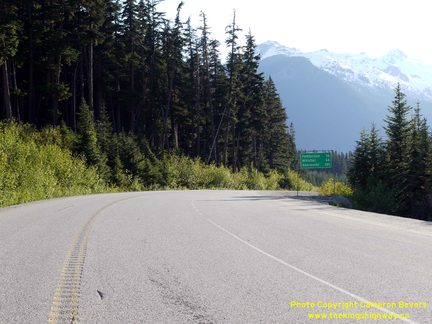

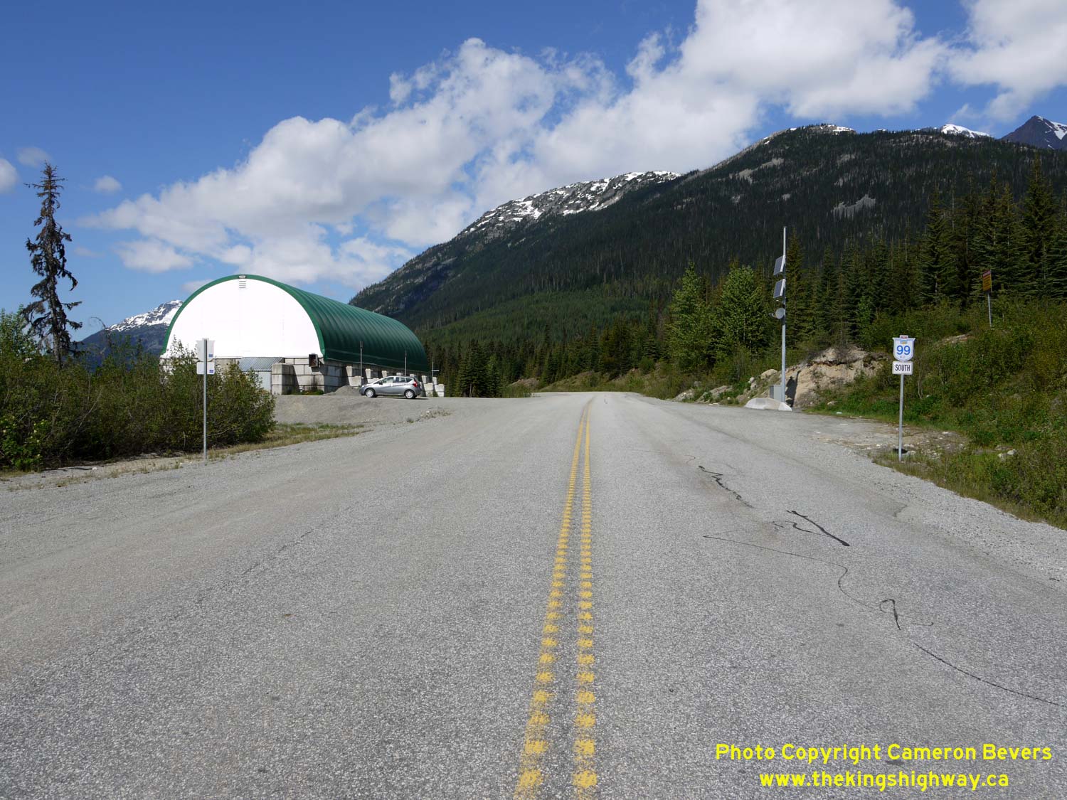
Left - Distance guide sign on southbound Hwy 99 at the truck brake check area near Joffre Lakes Provincial Park. See an
Enlarged Photo Here. (Photograph taken on May 29, 2015 - © Cameron Bevers) Right - Facing south along Hwy 99 towards Pemberton from the Joffre Lakes Provincial Park entrance. See an Enlarged Photo Here. (Photograph taken on May 30, 2015 - © Cameron Bevers) 

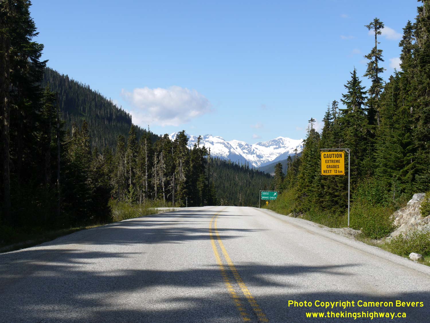
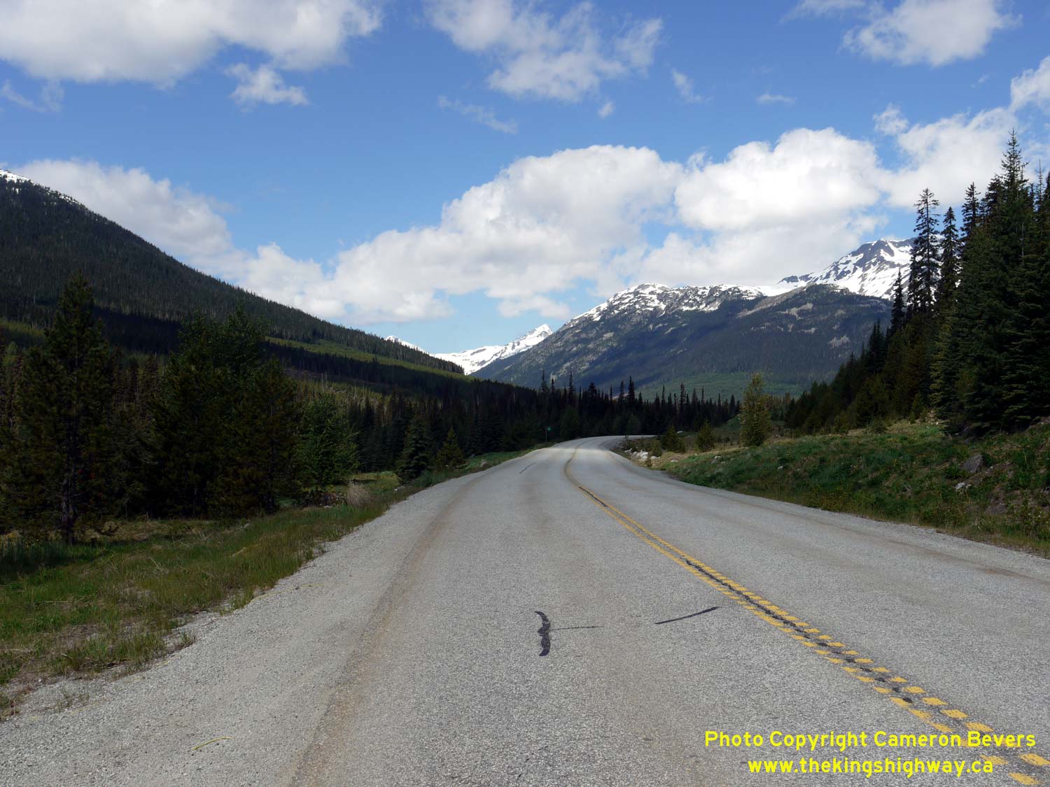
Left - Facing north along Hwy 99 towards Lillooet from the Joffre Lake Provincial Park entrance. Hwy 99 ascends trough a final series of curves before crossing
over Cayoosh Pass. The summit of Cayoosh Pass is approximately 1,300 metres (4,200 feet) above sea level. It is the highest elevation attained along the entire route
of Hwy 99. See an Enlarged Photo Here. (Photograph taken on May 30, 2015 - © Cameron Bevers) Right - View of Hwy 99 at Cayoosh Pass, facing south towards Joffre Lakes Provincial Park. The glaciated summits of Cassiope Peak and Saxifrage Mountain can be seen in the distance. Heading south from Cayoosh Pass, Hwy 99 drops about 1,100 metres (3,600 feet) in elevation in a little over 13 km, resulting in an average downhill gradient of about 8.5 percent. See an Enlarged Photo Here. (Photograph taken on May 30, 2015 - © Cameron Bevers) 
Left - Distance guide sign on northbound Hwy 99 at the summit of Cayoosh Pass. See an
Enlarged Photo Here. (Photograph taken on May 30, 2015 - © Cameron Bevers) Right - Crossing the summit at Cayoosh Pass on Hwy 99, facing south. Note the warning sign at right advising motorists on extreme grades ahead. See an Enlarged Photo Here. (Photograph taken on May 30, 2015 - © Cameron Bevers) 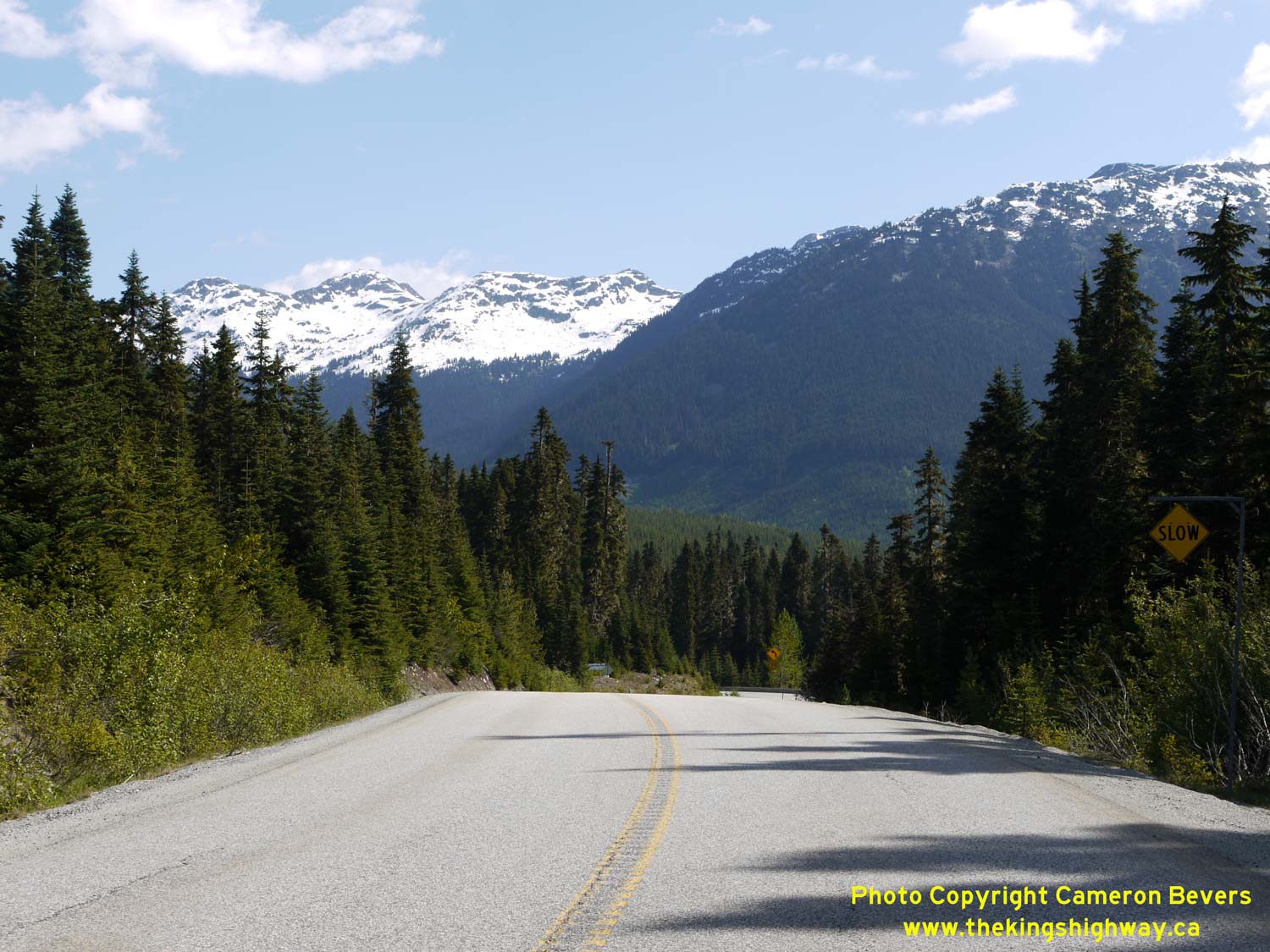
Left - Facing north along Hwy 99 towards Lillooet from the summit of Cayoosh Pass. The summit is approximately 1,285 metres (4,215 feet) above sea level. See
an Enlarged Photo Here. (Photograph taken on May 30, 2015 - © Cameron Bevers) Right - Facing south along Hwy 99 from the avalanche closure gates north of Cayoosh Pass. See an Enlarged Photo Here. (Photograph taken on May 30, 2015 - © Cameron Bevers) 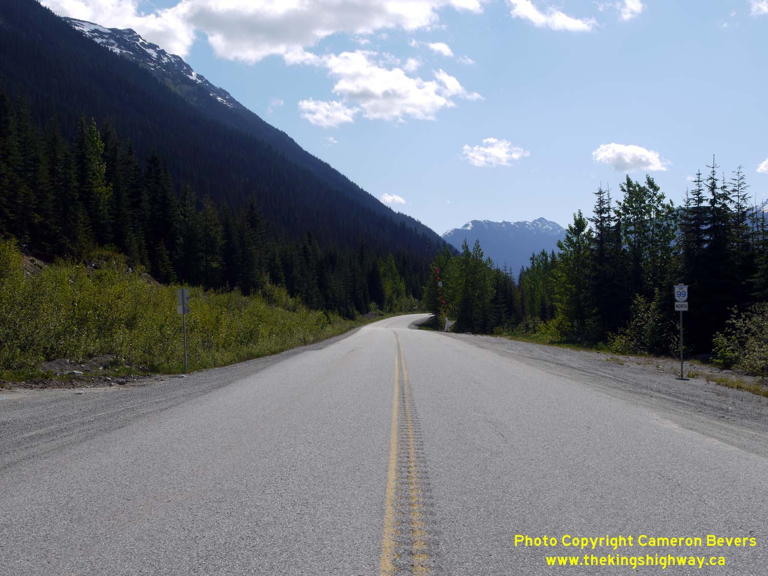
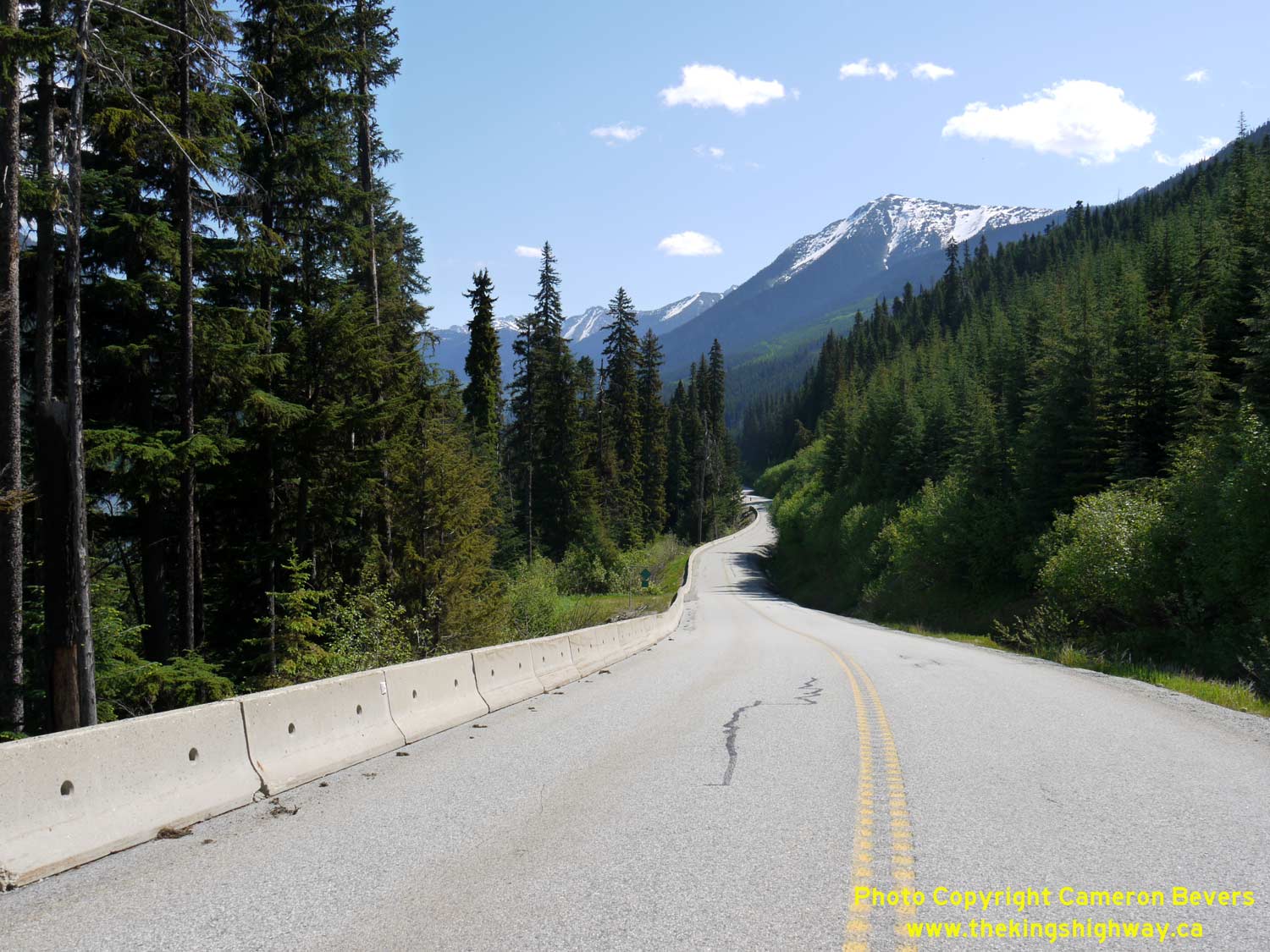
Left - Facing north along Hwy 99 towards the avalanche closure gates near Cayoosh Pass. See an
Enlarged Photo Here. (Photograph taken on May 30, 2015 - © Cameron Bevers) Right - Hwy 99 winds its way north through this alpine forest as it begins its long descent down towards Duffey Lake. See an Enlarged Photo Here. (Photograph taken on May 30, 2015 - © Cameron Bevers) 

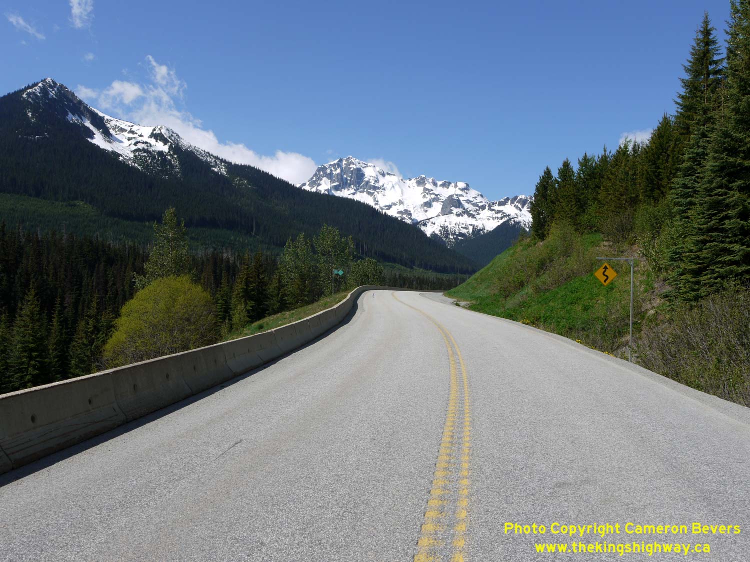
Left - The snow-capped peak of Cayoosh Mountain appears above Hwy 99 about 5 km north of Cayoosh Pass. See an
Enlarged Photo Here. (Photograph taken on May 30, 2015 - © Cameron Bevers) Right - Facing south along Hwy 99 towards Cayoosh Pass, about 6 km south of Duffey Lake. The light green strip up the side of the mountain was the scene of a historical avalanche. The force of the tumbling snow stripped that part of the mountainside of trees. See an Enlarged Photo Here. (Photograph taken on May 30, 2015 - © Cameron Bevers) 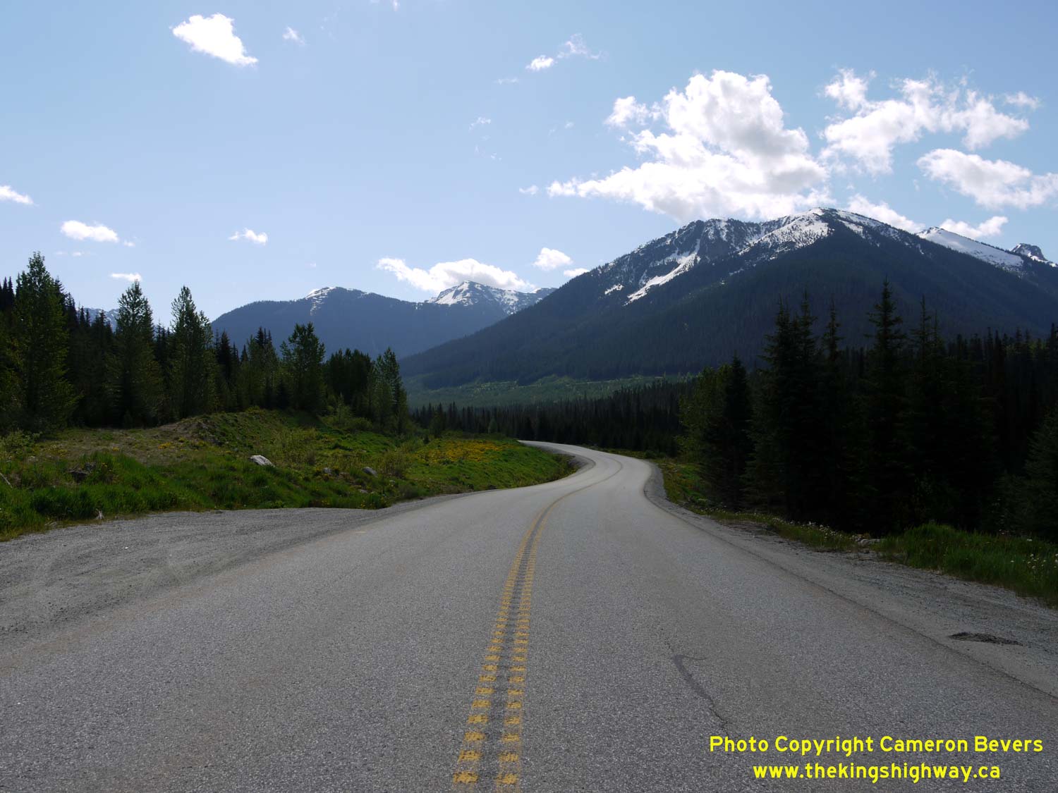
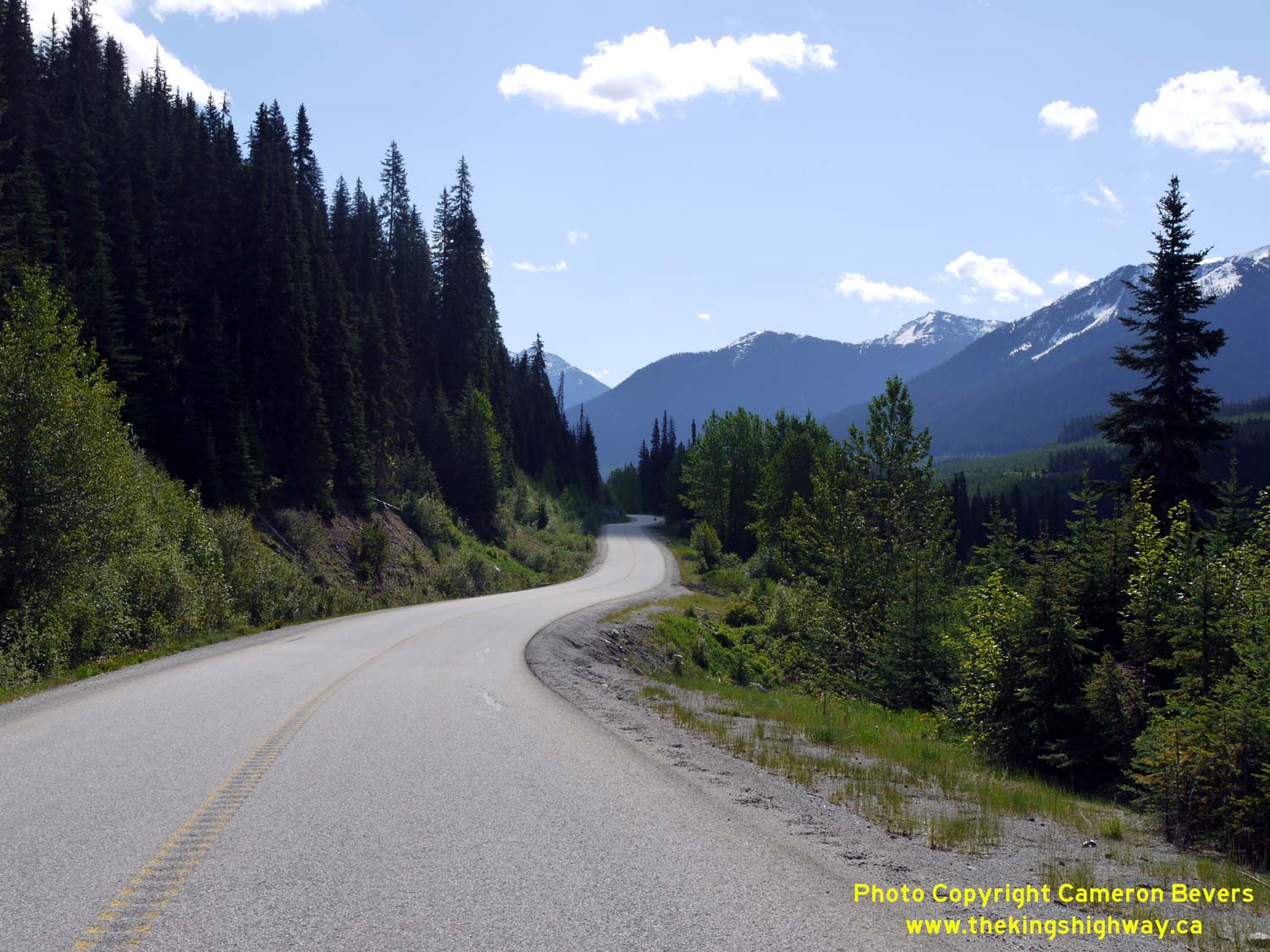
Left - Hwy 99 crosses this pretty alpine meadow about 5 km south of Duffey Lake. See an
Enlarged Photo Here. (Photograph taken on May 30, 2015 - © Cameron Bevers) Right - Facing south towards Cayoosh Pass, about 5 km south of Duffey Lake. This narrow mountain pass was one of the only viable routes for the construction of a highway through the Coast Mountains between Vancouver and the interior of British Columbia. Vancouver's only other two highway access routes to the rest of Canada (Hwy 1 and Hwy 7) run through the Fraser Valley in the Hope area. See an Enlarged Photo Here. (Photograph taken on May 30, 2015 - © Cameron Bevers) 
Left - Duffey Lake lies at the bottom of a deep basin, surrounded on all sides by scenic, snow-capped mountains. See an
Enlarged Photo Here. (Photograph taken on May 30, 2015 - © Cameron Bevers) Right - The jagged glacier-capped summit of Joffre Peak can be seen on the eastern side of Hwy 99, about 3 km south of Duffey Lake. See an Enlarged Photo Here. (Photograph taken on May 30, 2015 - © Cameron Bevers) 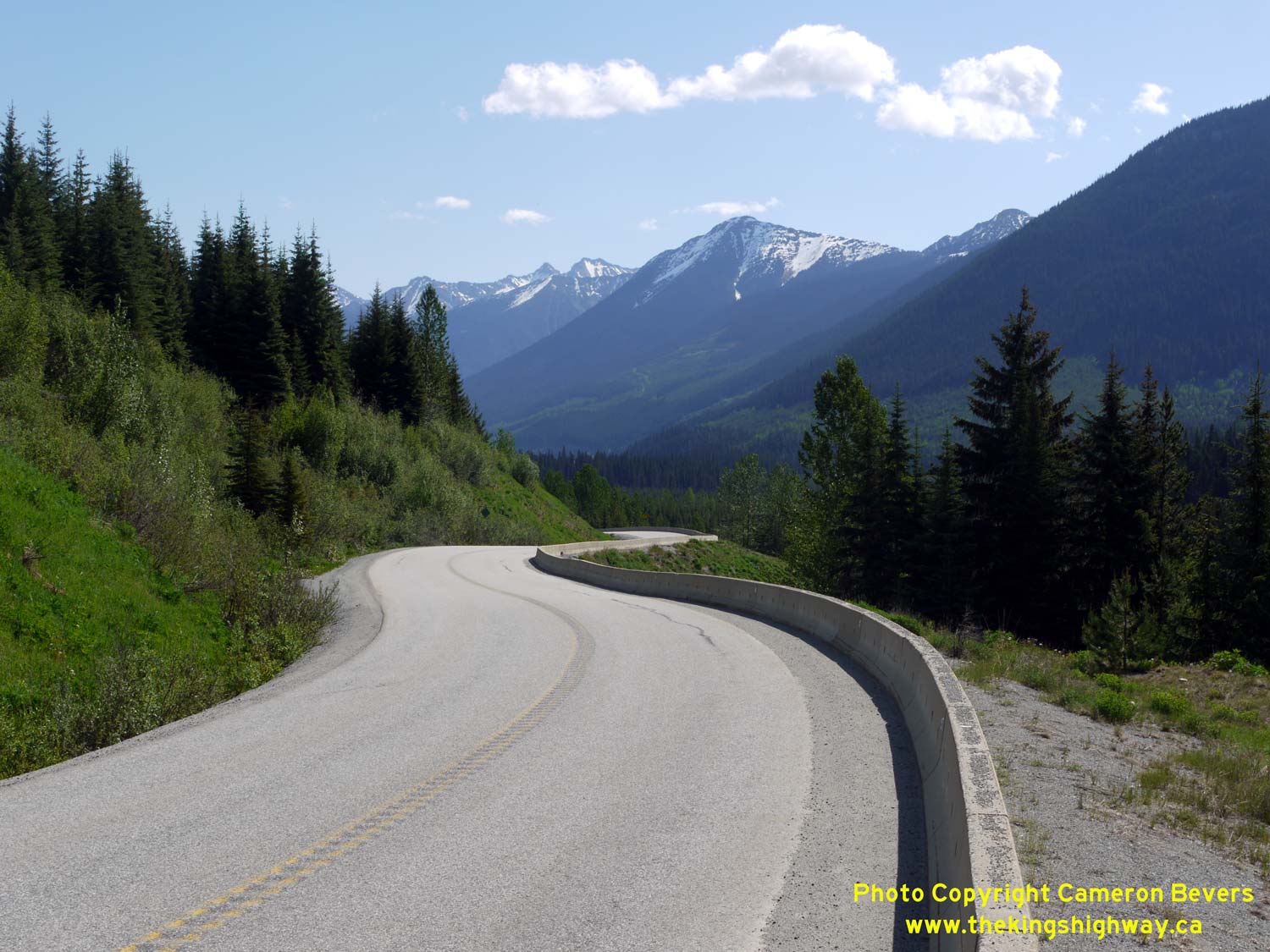

Left - One of many jaw-dropping scenes along the scenic Duffey Lake Road (Hwy 99) between Pemberton and Lillooet. See an
Enlarged Photo Here. (Photograph taken on May 30, 2015 - © Cameron Bevers) Right - Duffey Lake comes into view as Hwy 99 descends this steep grade about 10 km north of Cayoosh Pass. The scenery along this section of Hwy 99 is simply stunning - my photos certainly do not do this beautiful highway any justice! See an Enlarged Photo Here. (Photograph taken on May 30, 2015 - © Cameron Bevers) 
Left - Hwy 99 crosses a timber-decked bridge over Cayoosh Creek, about 1 km south of Duffey Lake. See an
Enlarged Photo Here. (Photograph taken on May 30, 2015 - © Cameron Bevers) Right - View of Hwy 99 at the Cayoosh Creek Bridge south of Duffey Lake. Although one of Canada's largest metropolitan areas lies only 175 km south along Hwy 99, this pristine alpine highway scene looks like it is half-a-world away from busy Vancouver. Mount Rohr takes an imposing stance beside the highway at right. See an Enlarged Photo Here. (Photograph taken on May 30, 2015 - © Cameron Bevers) 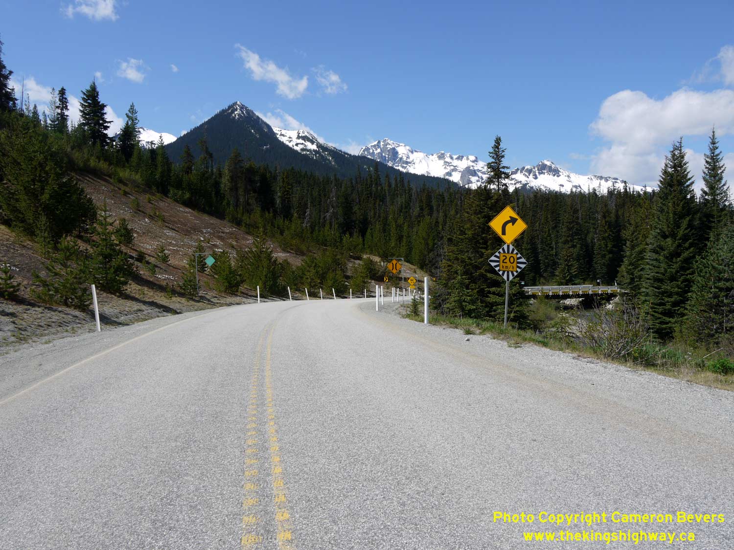
Left - Mount Matier and Joffre Peak form a scenic backdrop in this view of Hwy 99 facing south approaching the Cayoosh Creek Bridge. See an
Enlarged Photo Here. (Photograph taken on May 30, 2015 - © Cameron Bevers) Right - Hwy 99 curves north towards Duffey Lake near the Cayoosh Creek Bridge. See an Enlarged Photo Here. (Photograph taken on May 30, 2015 - © Cameron Bevers) 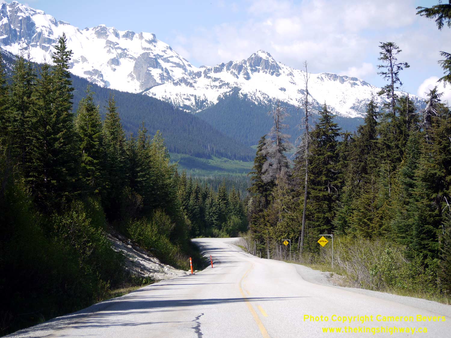
Left - Facing south along Hwy 99 towards Cayoosh Pass from Duffey Lake. Mount Matier rises like a castle wall along the southern side of the Duffey Lake basin. See an
Enlarged Photo Here. (Photograph taken on May 30, 2015 - © Cameron Bevers) Right - Facing north along Hwy 99 at Duffey Lake. Although very narrow, this alpine lake is approximately 6 km in length. Duffey Lake is situated approximately 1,125 metres (3,700 feet) above sea level. Despite its small size, Duffey Lake is incredibly deep, with a maximum water depth of 84 metres (275 feet). See an Enlarged Photo Here. (Photograph taken on May 30, 2015 - © Cameron Bevers) 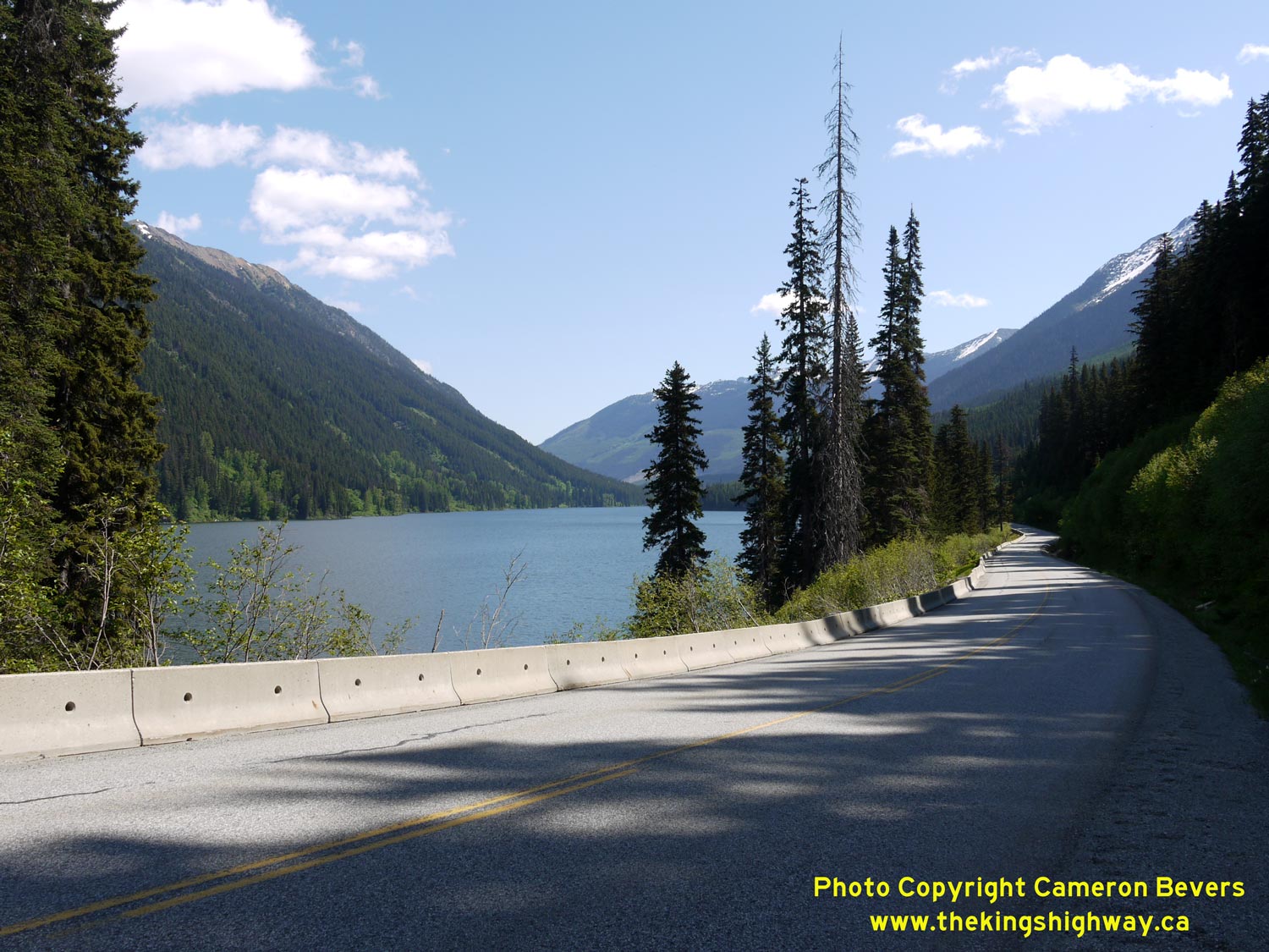
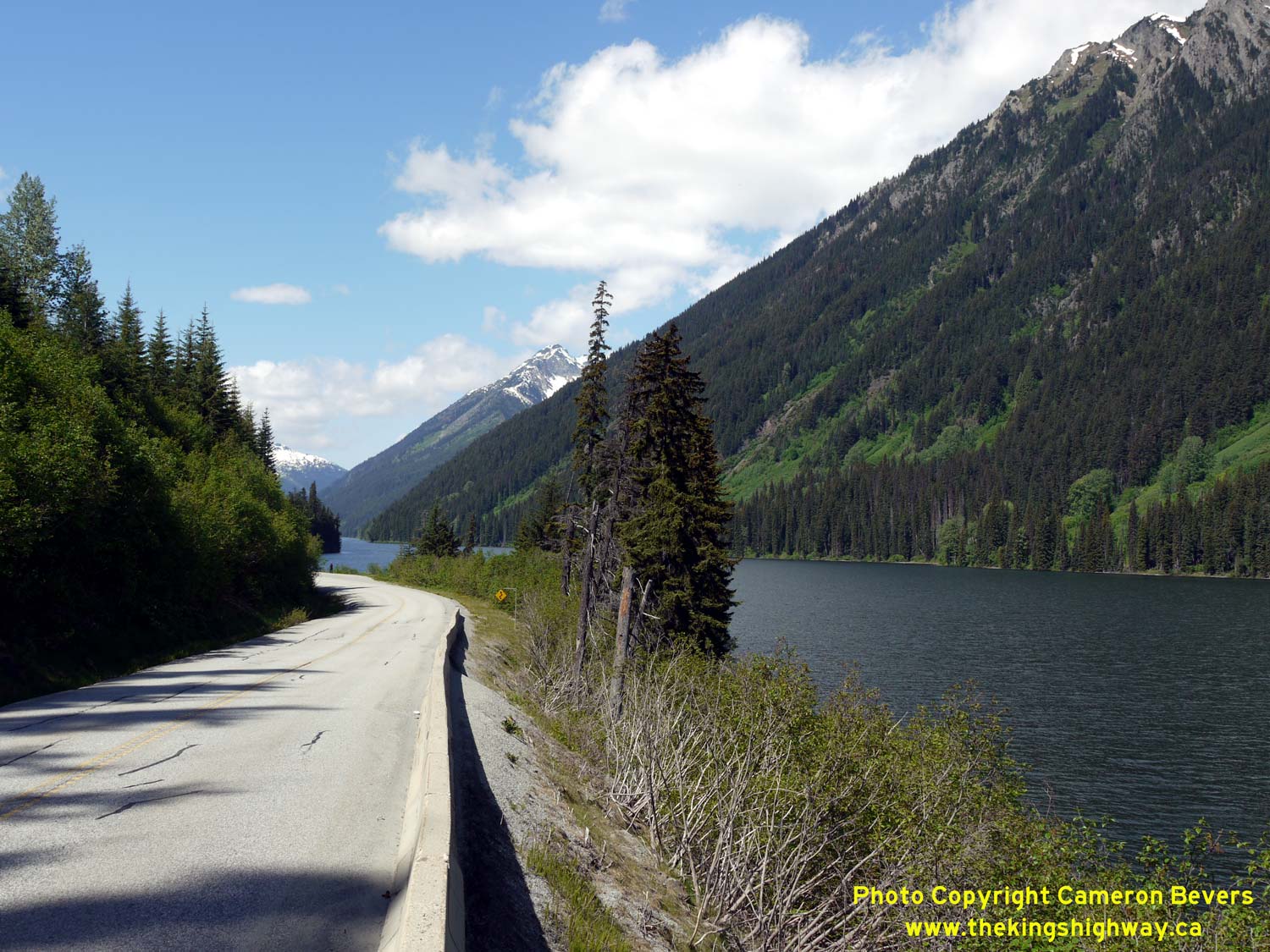
Left - View of Duffey Lake as Hwy 99 skirts the eastern side of the lake on its route north towards Lillooet. See an
Enlarged Photo Here. (Photograph taken on May 30, 2015 - © Cameron Bevers) Right - Hwy 99 was constructed along the eastern side of Duffey Lake. The western side of the lake is particularly vulnerable to avalanches in winter, due to the steep mountain slopes. See an Enlarged Photo Here. (Photograph taken on May 30, 2015 - © Cameron Bevers) 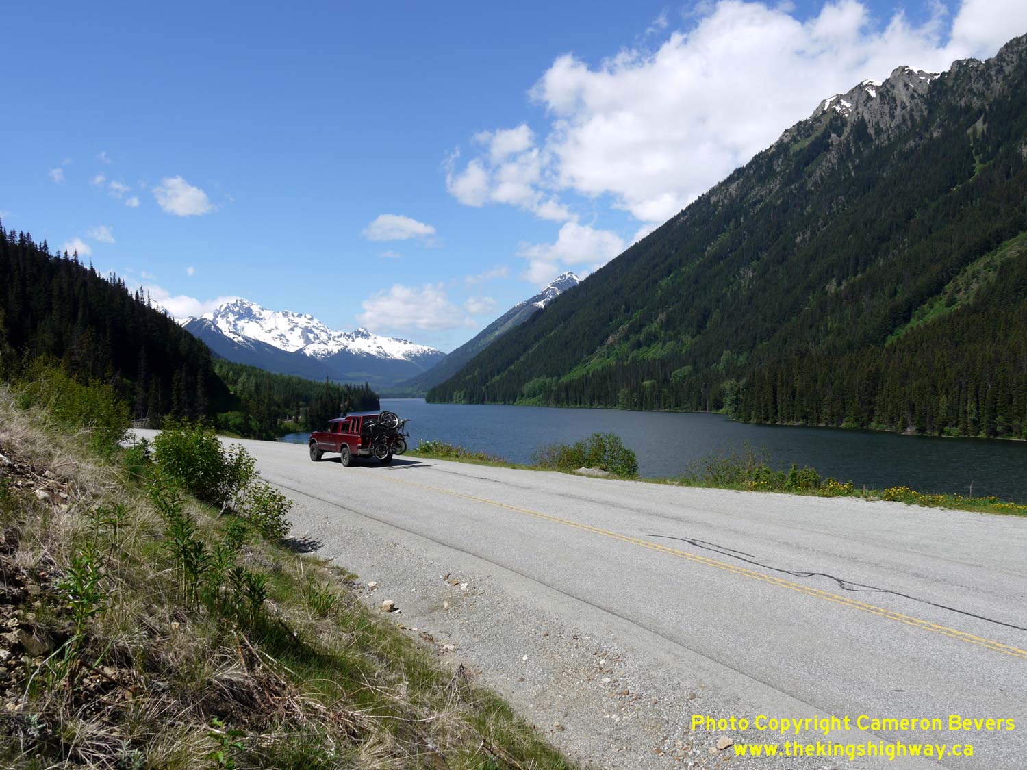

Left - Adventure time on Hwy 99: The Duffey Lake area is an outdoor enthusiast's dream, with countless recreational activities possible in a pristine alpine
environment. See an Enlarged Photo Here. (Photograph taken on May 30, 2015 - © Cameron Bevers) Right - Springtime view of Duffey Lake, as seen from Hwy 99 south of Lillooet. See an Enlarged Photo Here. (Photograph taken on May 30, 2015 - © Cameron Bevers) 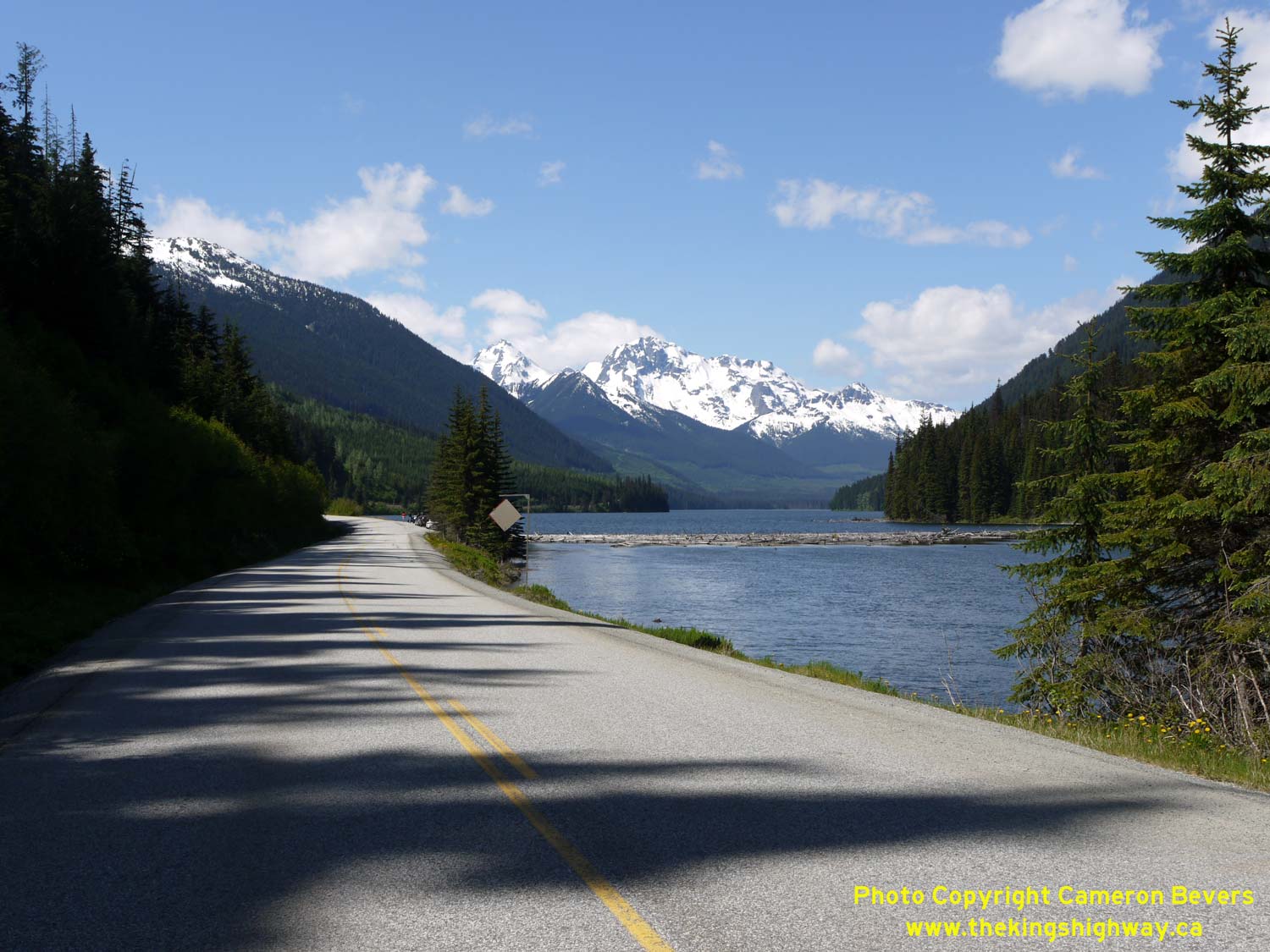
Above - Approaching scenic Duffey Lake on Hwy 99, facing south towards Pemberton. See an
Enlarged Photo Here. (Photograph taken on May 30, 2015 - © Cameron Bevers)
Continue north along BC Highway 99 from Duffey Lake to Lillooet |
|---|
Links to Adjacent BC Highway Photograph Pages:
Back to BC Highway 97D Photos /
British Columbia Highways Photo Index /
On to BC Highway 101 Photos (Future Page)
Ontario Highway History - Main Menu / Vacation Highway Photos - Main Menu Website contents, photos & text © 2002-2026, Cameron
Bevers (Webmaster) - All Rights Reserved / Contact Me
|
|---|