
| 
|  |
|
|
This page contains present day photos (Year 2000 to date) of Ontario's King's Highway 17, arranged by location from the
Secondary Highway 628 Junction at Red Rock Corners westerly to Ouimet. All photographs displayed on this page were taken by the Webmaster (Cameron Bevers),
unless specifically noted otherwise. Click on any thumbnail to see a larger image!
Please note that all photographs displayed on this
website are protected by copyright. These photographs must not be reproduced, published,
electronically stored or copied, distributed, or posted onto other websites without
my written permission. If you want to use photos from this website, please
email me first for permission. Thank-you!
|
|---|
|
Page 30: Present Day King's Highway 17 Photographs (Red Rock Corners to Ouimet)
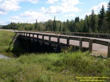

Left - Timber trestle bridge over South Trout Creek on Hwy 11 & Hwy 17 near Red Rock (Photograph taken on August 30, 2003 - © Cameron Bevers) Right - Southern side of the South Trout Creek Bridge. Structure completed in 1951. (Photograph taken on August 30, 2003 - © Cameron Bevers) 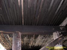
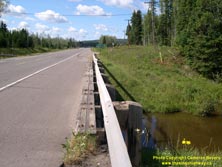
Left - View of the timber deck of the South Trout Creek Bridge on Hwy 11 & Hwy 17 (Photograph taken on August 30, 2003 - © Cameron Bevers) Right - Timber curb and railing posts on the South Trout Creek Bridge on Hwy 11 & Hwy 17 (Photograph taken on August 30, 2003 - © Cameron Bevers) 
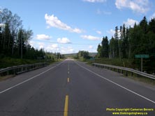
Left - Facing east along Hwy 11 & Hwy 17 towards Nipigon across the South Trout Creek Bridge (Photograph taken on August 30, 2003 - © Cameron Bevers) Right - Facing west along Hwy 11 & Hwy 17 towards Hurkett across the South Trout Creek Bridge (Photograph taken on August 30, 2003 - © Cameron Bevers) 
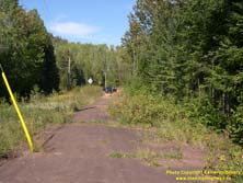
Left - Abandoned Hwy 11 & Hwy 17 alignment near Dorion, facing east towards Hurkett (Photograph taken on August 21, 2003 - © Cameron Bevers) Right - Abandoned Hwy 11 & Hwy 17 alignment at the former Wolf River Bridge site near Dorion (Photograph taken on September 4, 2006 - © Cameron Bevers) 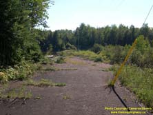
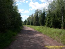
Left - Abandoned Hwy 11 & Hwy 17 alignment approaching the old Wolf River Bridge site near Dorion. A large timber truss bridge existed at this location
until the late 1950s. Please click here to see a 1957 Photo of this bridge, taken by the
Department of Highways shortly before the bridge was replaced. (Photograph taken on September 4, 2006 - © Cameron Bevers) Right - Abandoned Hwy 11 & Hwy 17 alignment near Dorion, facing west towards Ouimet (Photograph taken on August 30, 2003 - © Cameron Bevers) |
|---|