
| 
| |
|
|
This page contains present day photos (Year 2000 to date) of Ontario's King's Highway 2, arranged by location from
London easterly to Woodstock. All photographs displayed on this page were taken by the Webmaster (Cameron Bevers), unless specifically noted otherwise. Click on
any thumbnail to see a larger image!
Please note that all photographs displayed on this
website are protected by copyright. These photographs must not be reproduced, published,
electronically stored or copied, distributed, or posted onto other websites without
my written permission. If you want to use photos from this website, please
email me first for permission. Thank-you!
|
|---|
|
Page 9: Present Day King's Highway 2 Photographs (London to Woodstock)
Left - Facing west along Dundas Street (Hwy 2) from Vansittart Avenue (Hwy 59 North) in Downtown Woodstock. See an
Enlarged Photo Here. (Photograph taken on October 13, 2019 - © Cameron Bevers) Right - Approaching Vansittart Avenue (Hwy 59 North) on Dundas Street (Hwy 2), facing east. See an Enlarged Photo Here. (Photograph taken on October 13, 2019 - © Cameron Bevers) 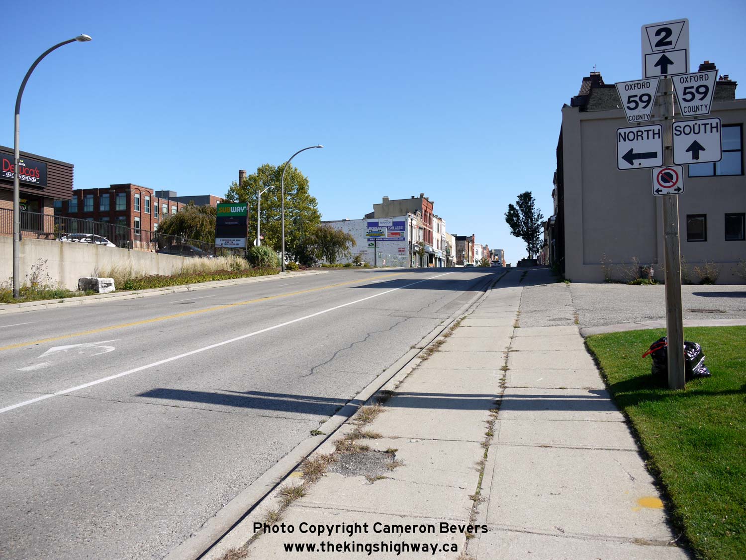
Left - Junction guide signs on eastbound Hwy 2 approaching the Hwy 59 North Junction. As indicated by this junction assembly, Hwy 2 & Hwy 59 share an
overlapped route along Dundas Street through Downtown Woodstock. This overlapped route extends along Dundas Street from the Hwy 59 North Junction at Vansittart Avenue
to the Hwy 59 South Junction at Wilson Street, which lies about 1 km to the east. Until the late 1990s, Hwy 2 & Hwy 59 were both King's Highways. Jurisdiction
over both routes was transferred from the province to the County of Oxford in 1997-1998. See an
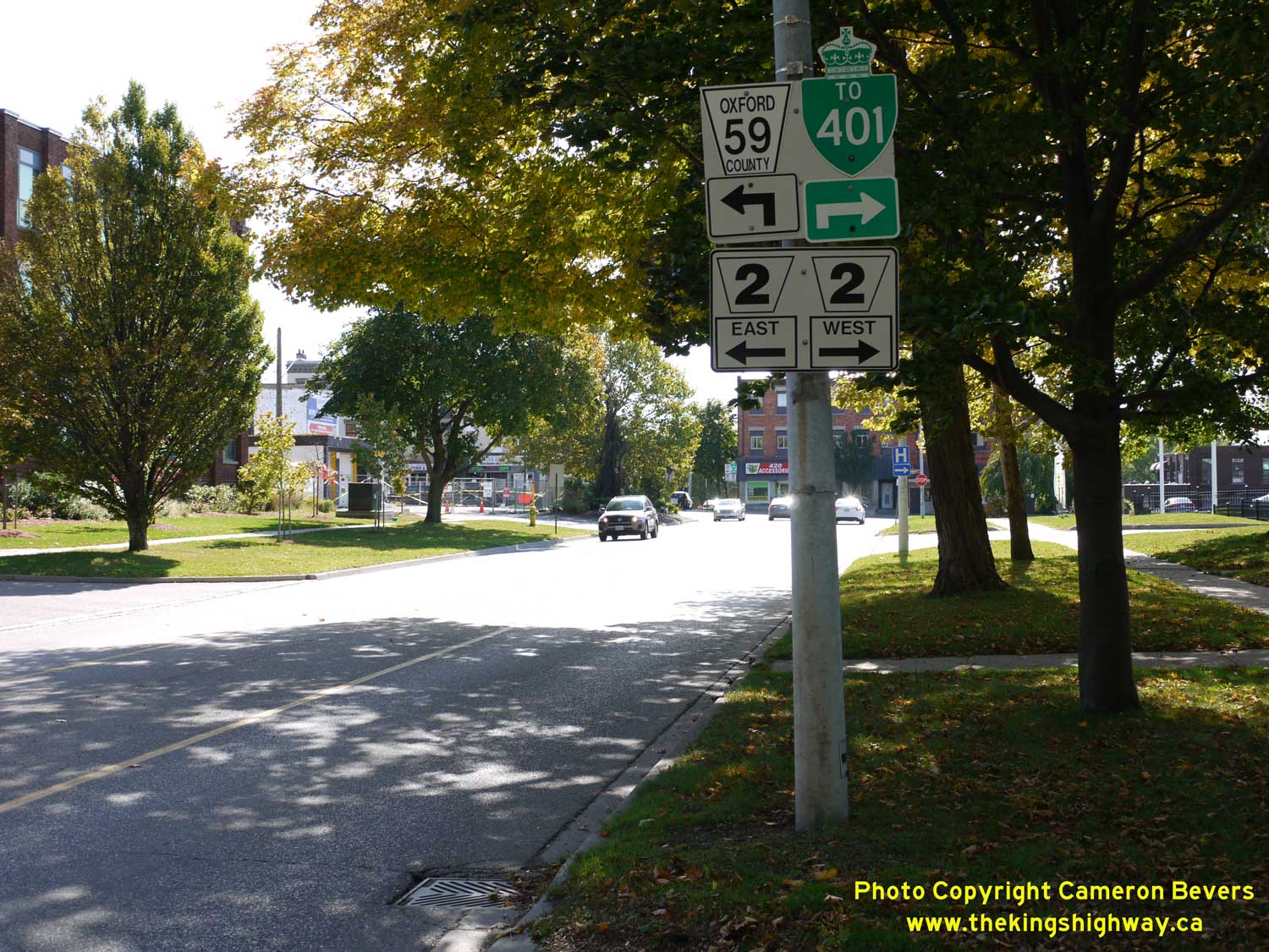
Enlarged Photo Here. (Photograph taken on October 13, 2019 - © Cameron Bevers) Right - Junction sign assembly on southbound Vansittart Avenue (Hwy 59) approaching Dundas Street (Hwy 2). Southbound traffic bound for Hwy 401 is directed to turn right (west) along Dundas Street and use the Sweaburg Road Interchange. Although it is a more circuitous urban route, traffic can also access Hwy 401 directly from Hwy 59 (Norwich Avenue) at the southern end of Woodstock. Historically, the northern leg of Hwy 59 from Woodstock to Shakespeare was a part of Hwy 19. Prior to being renumbered as Hwy 59 in the early 1960s, Hwy 19 turned right at this junction and headed south towards Beachville and Ingersoll. See an Enlarged Photo Here. (Photograph taken on October 13, 2019 - © Cameron Bevers) 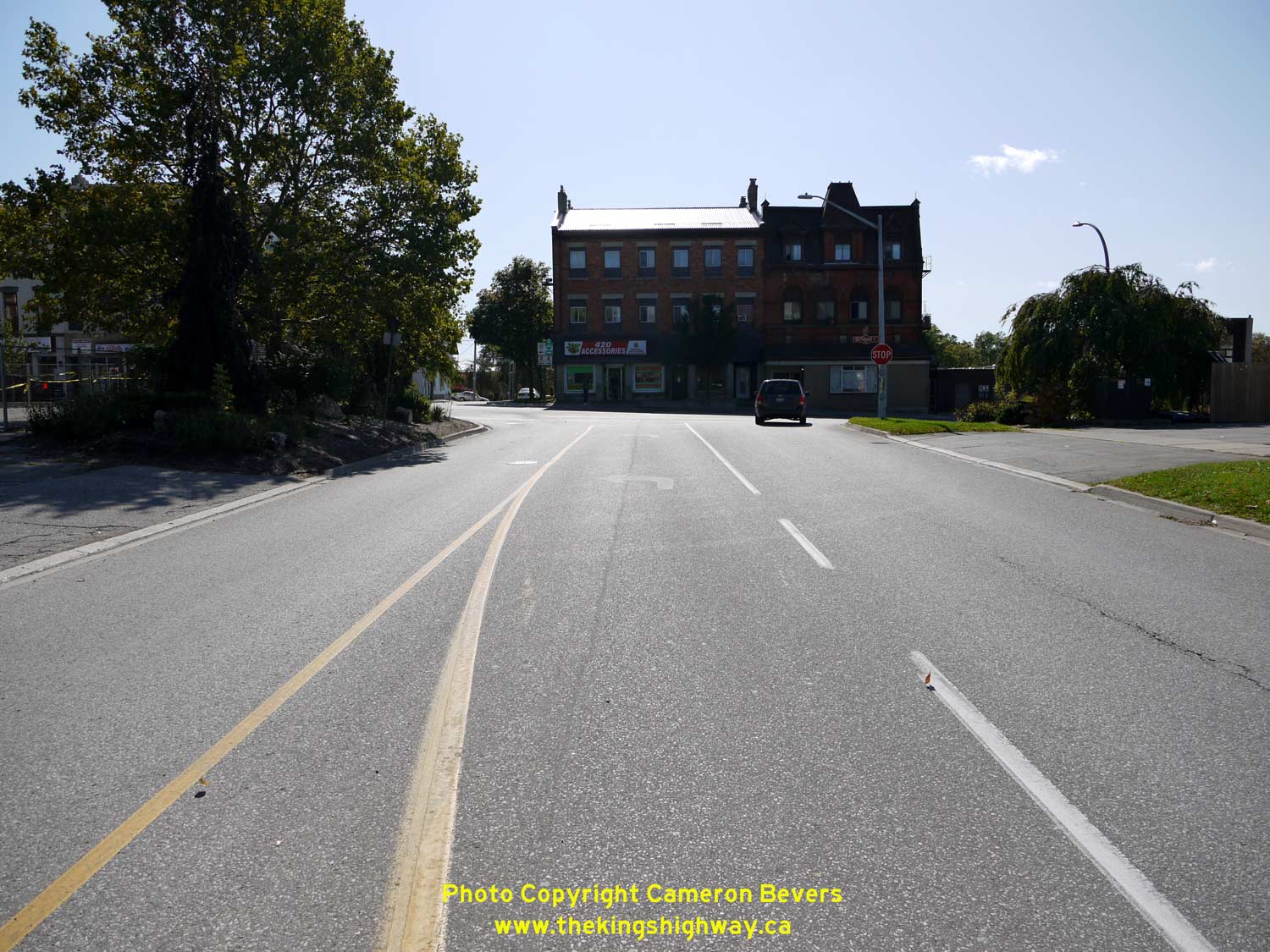
Left - Facing south along Vansittart Avenue (Hwy 59) towards Dundas Street (Hwy 2) in Downtown Woodstock, The route of Hwy 59 turns left and briefly heads east
via Dundas Street, concurrently with Hwy 2. Interestingly, this is a Stop-controlled intersection. It is uncommon to see a junction of two highways in an urban area
that is not controlled by traffic signals, although it should be noted that traffic volumes along Vansittart Avenue (Hwy 59 North) are comparatively light. See an
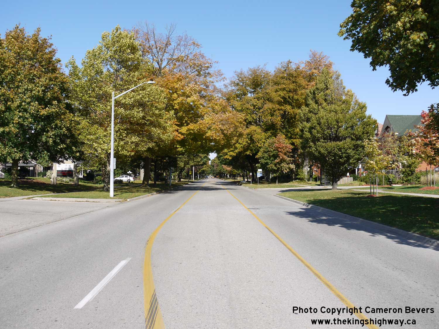
Enlarged Photo Here. (Photograph taken on October 13, 2019 - © Cameron Bevers) Right - Facing north along Vansittart Avenue (Hwy 59) from Dundas Street (Hwy 2). From Woodstock, Hwy 59 heads north towards Tavistock, before coming to an end at the Hwy 7 & Hwy 8 Junction in Shakespeare, located between Stratford and Kitchener. See an Enlarged Photo Here. (Photograph taken on October 13, 2019 - © Cameron Bevers) 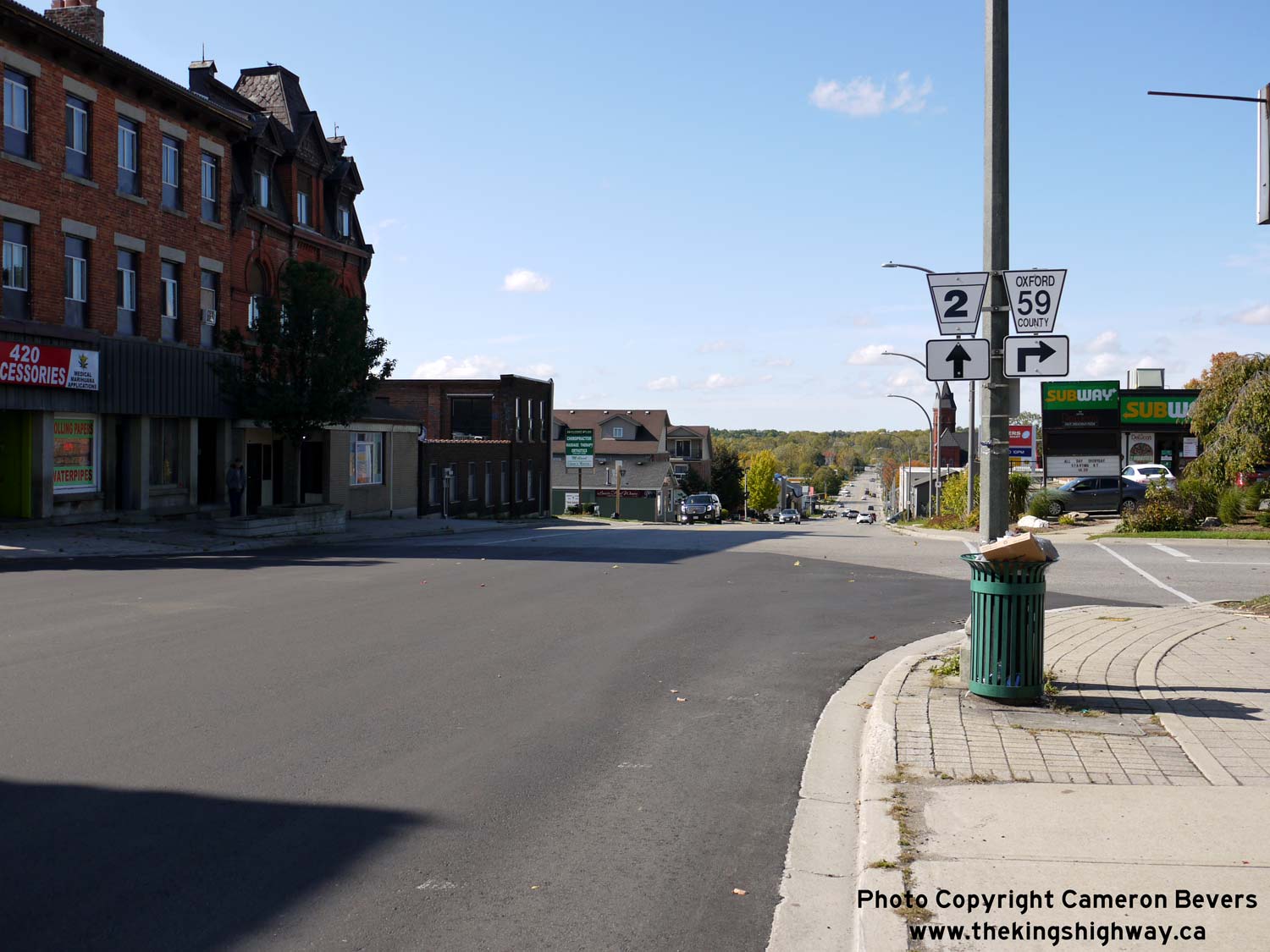
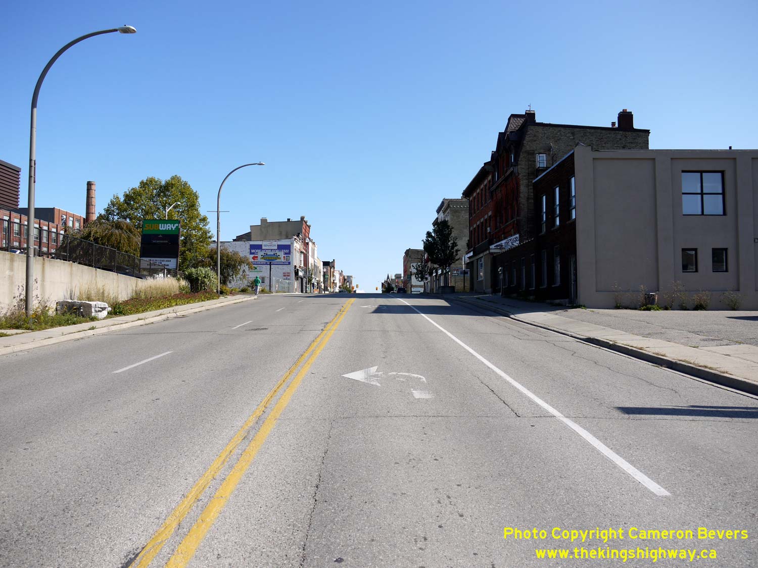
Left - Junction sign assembly on westbound Hwy 2 (Dundas Street) at Hwy 59 North (Vansittart Avenue). See an
Enlarged Photo Here. (Photograph taken on October 13, 2019 - © Cameron Bevers) Right - Facing west along Hwy 2 & Hwy 59 (Dundas Street) from Brock Street in Downtown Woodstock. The route of Hwy 59 turns right (north) onto Vansittart Avenue at the crest of the hill, while Hwy 2 continues straight ahead (west) along Dundas Street towards Thamesford and London. See an Enlarged Photo Here. (Photograph taken on October 13, 2019 - © Cameron Bevers) 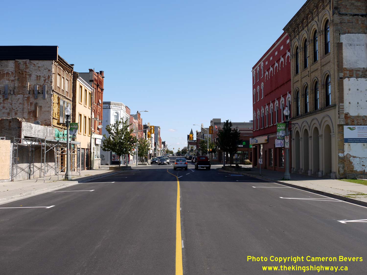
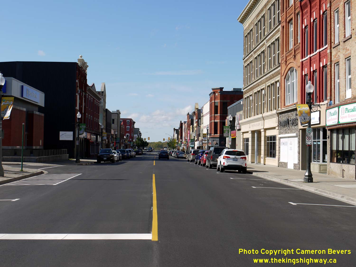
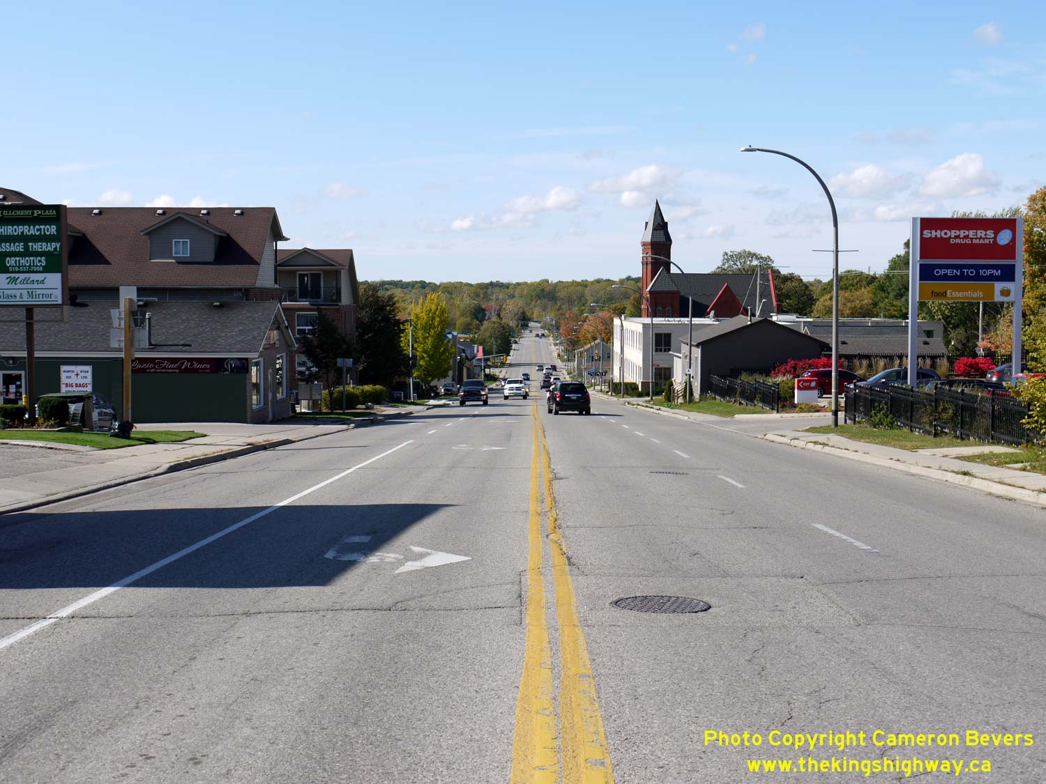
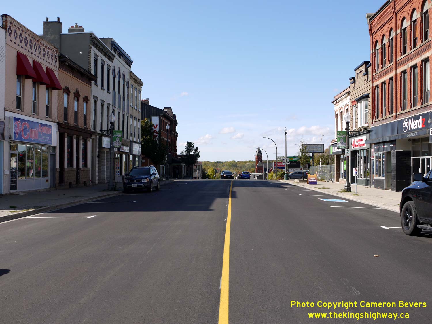
Left - Facing east along Hwy 2 & Hwy 59 towards Brock Street from Vansittart Avenue. Like many downtown areas in Southern Ontario, Woodstock has been
struggling to redefine its downtown area after decades of decline. Fortunately, pockets of new developments are starting to appear along the main street, which
suggests that things are starting to turn the corner. See an Enlarged Photo Here. (Photograph taken on October 13, 2019 - © Cameron Bevers) Right - Facing west along Hwy 2 & Hwy 59 (Dundas Street) in Downtown Woodstock. Although this photo was taken on a quiet Sunday morning, the old highway route through Woodstock is certainly a lot less busy now than it once was. Before the London-Woodstock section of Hwy 401 opened to traffic on May 31, 1957, virtually all traffic travelling between Toronto and London passed along this street. Not only did this slow highway travel times immensely, but the sight of a never-ending stream of long-distance trucks, cars and buses likely would have been very detrimental to the enjoyment of the city centre. The construction of Hwy 401 through Southwestern Ontario took thousands of long-distance vehicles off of main streets such as this one. Traffic volumes on Hwy 2 between Woodstock and Ingersoll cascaded by more than 50% as soon as Hwy 401 was opened. See an Enlarged Photo Here. (Photograph taken on October 13, 2019 - © Cameron Bevers) 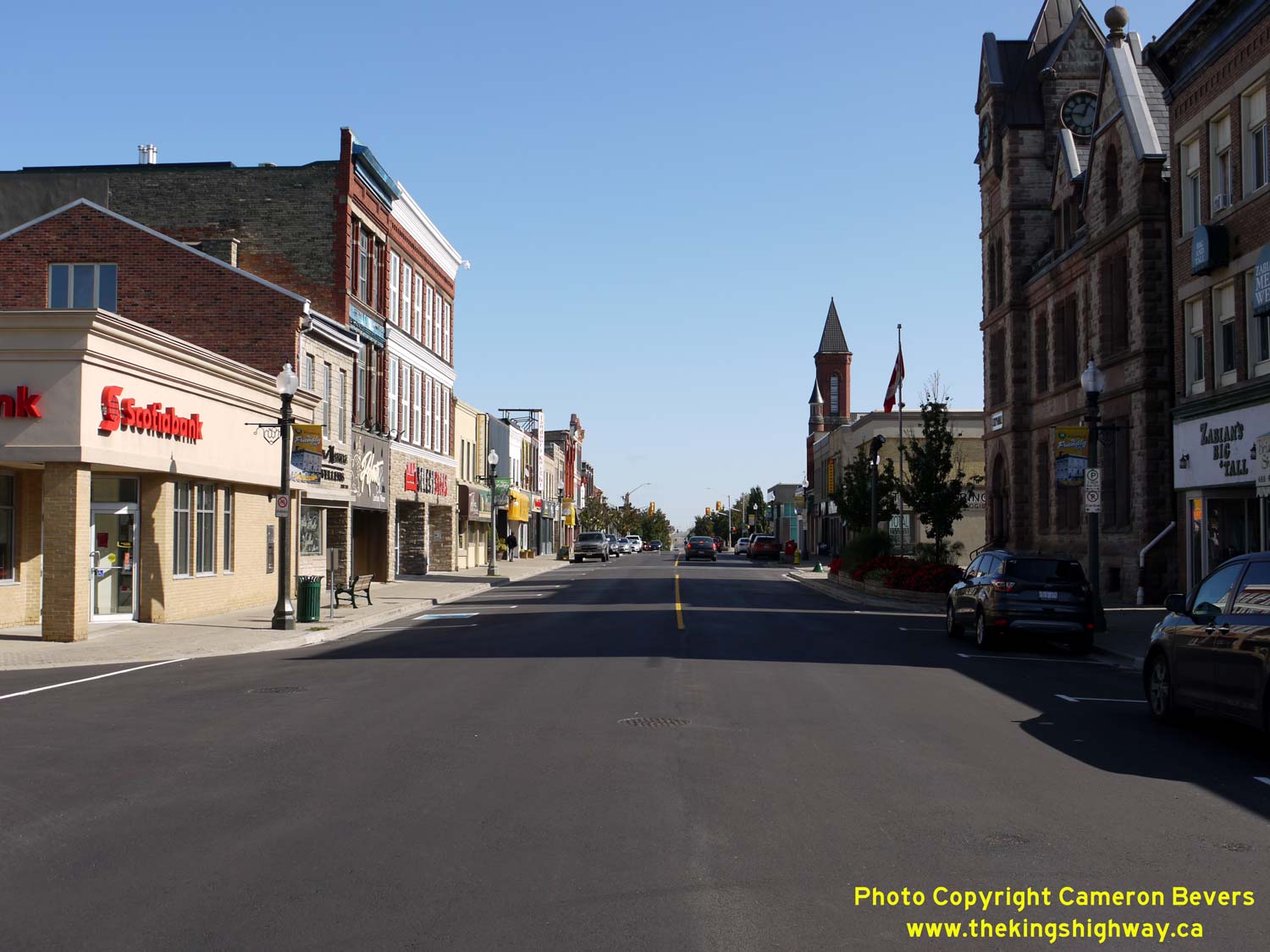

Left - Facing east along Hwy 2 & Hwy 59 (Dundas Street) near Riddell Street. Downtown Woodstock's main street has many examples of unique 19th Century
architecture and interesting landmarks, including its historic city hall at right and the turreted Church of the Epiphany in the background. For a mid-sized
Southwestern Ontario city, Woodstock has a surprisingly large downtown area. It stretches almost the entire length of the overlapped Hwy 2 & Hwy 59 route along
Dundas Street. See an Enlarged Photo Here. (Photograph taken on October 13, 2019 - © Cameron Bevers) Right - Aerial view of Hwy 401, facing east towards the Hwy 2 Cloverleaf near Woodstock. (Photograph taken on April 28, 2006 - © Cameron Bevers) 

Left - Facing east along Hwy 2 towards the Hwy 401 Cloverleaf east of Woodstock. (Photograph taken on March 26, 2005 - © Cameron Bevers) Right - The Hwy 2 and Hwy 401 Cloverleaf is particularly interesting, as it is a junction of two divided highways. Despite the large number of full cloverleaf interchanges built on Ontario's early freeways, there were few instances where two divided highways actually met at such an interchange. (Photograph taken on March 26, 2005 - © Cameron Bevers) 

Left - The Hwy 401 Overpass at Hwy 2 near Woodstock was completed in 1955. (Photograph taken on March 26, 2005 - © Cameron Bevers) Right - View from the gore of the southwest loop ramp from Hwy 401 West, facing east along Hwy 2. Note the short merging lane before the next loop ramp exits Hwy 2 for Hwy 401 East. (Photograph taken on March 26, 2005 - © Cameron Bevers) 

Left - The Hwy 401 Overpass at Hwy 2 is one of the most impressive structures on the highway west of Toronto. For several years, Hwy 401 ended at this
interchange. The London-Woodstock section of Hwy 401 was completed in 1957, but the Woodstock-Kitchener section was not completed until 1961. (Photograph taken on March 26, 2005 - © Cameron Bevers) Right - Facing east along Hwy 2 towards Eastwood from the Hwy 401 Overpass near Woodstock. (Photograph taken on March 26, 2005 - © Cameron Bevers) 

Left - View of the eastern half of the Hwy 2 Cloverleaf at Hwy 401. While the construction of cloverleaf interchanges is strongly discouraged today, the
example found at Hwy 2 and Hwy 401 worked remarkably well due to the low traffic volumes on Hwy 2. Nevertheless, the Ministry of Transportation of Ontario (MTO)
reconstructed this interchange in 2006-2007. This reconstruction project removed yet another example of this quickly-disappearing interchange design from the
province's landscape. (Photograph taken on March 26, 2005 - © Cameron Bevers) Right - Aerial view of the Hwy 401 and Hwy 2 Cloverleaf, facing east towards Eastwood. This cloverleaf interchange was particularly interesting because it was located at the junction of two divided highways. (Photograph taken on April 28, 2006 - © Cameron Bevers) 
Above - Aerial view of the Hwy 2 Cloverleaf on Hwy 401 near Woodstock, facing southwest. (Photograph taken on April 28, 2006 - © Cameron Bevers)
Continue on to King's Highway 2 Present Day Photos: Woodstock to Paris
|
|---|
Links to Adjacent King's Highway Photograph Pages:
Back to Tertiary Highway 812 Photos /
King's Highway 2 History /
On to King's Highway 3 Photos
Ontario Highway History - Main Menu / Back to List of Highways Website contents, photos & text © 2002-2026, Cameron
Bevers (Webmaster) - All Rights Reserved / Contact Me
|
|---|