
| 
| |
|
|
This page contains historical and present day photos of Ontario's King's Highway 31. All photographs displayed on this page were taken by the Webmaster (Cameron
Bevers), unless specifically noted otherwise. Historical photographs are arranged in approximate chronological order, while present day photographs (Year 2000 to
date) are arranged by location from south to north. Click on any thumbnail to see a larger image!
Please note that all photographs displayed on this
website are protected by copyright. These photographs must not be reproduced, published,
electronically stored or copied, distributed, or posted onto other websites without
my written permission. If you want to use photos from this website, please
email me first for permission. Thank-you!
|
|---|
|
Historical King's Highway 31 Photographs

Above - Newly-built South Nation River Bridge on Hwy 31 at Cass Bridge, north of Morrisburg (1931) (Photo courtesy of Ontario Ministry of Transportation - © King's Printer for Ontario, 1931) 
Above - Roadside park and picnic area on Hwy 31 at the South Castor River south of Vernon (1949) (Photo courtesy of Ontario Ministry of Transportation - © King's Printer for Ontario, 1949) 

Left - A scenic view of the Rideau Canal in Ottawa in 1950, approaching the Wellington Street Bridge near Parliament Hill. Although they are not particularly
obvious in this photo, note the four King's Highway route markers mounted onto a single post on Rideau Canal Drive at left. For many years, the routes of Hwy 15,
Hwy 16, Hwy 17 and Hwy 31 all followed Rideau Canal Drive along a city-signed scenic loop through Downtown Ottawa. See an
Enlarged Photo here. Photo taken in 1950. (Photo courtesy of Ontario Ministry of Transportation - © King's Printer for Ontario, 1950) Right - Facing south along Rideau Canal Drive (Hwy 15, Hwy 16, Hwy 17 & Hwy 31) in Ottawa in 1951. See an Enlarged Photo here. Photo taken in 1951. (Photo courtesy of Ontario Ministry of Transportation - © King's Printer for Ontario, 1951) 
Above - Roadside park and picnic area on Hwy 31 at South Castor River near Vernon. Photo taken on July 20, 1954. See an
Enlarged Photo Here. (Photo courtesy of Ontario Ministry of Transportation - © King's Printer for Ontario, 1954) 
Above - Facing west along Relocated Hwy 2 approaching the Hwy 31 Junction in Morrisburg, Contract #1957-125. The Town of Morrisburg had to be partially
relocated during the 1950s, as portions of the town including its Main Street lay below the proposed St. Lawrence Seaway's flood line. Morrisburg's new "downtown" was
situated in a series of shopping plazas located adjacent to the Hwy 2 & Hwy 31 Junction. See an
Enlarged Photo Here. Photo taken in 1958. (Photo courtesy of Ontario Ministry of Transportation - © King's Printer for Ontario, 1958) |
|---|
|
Present Day King's Highway 31 Photographs


Left - Abandoned alignment of Hwy 31 at the South Castor River. The adjacent picnic area is shown in a 1954 photo above. See an
Enlarged Photo Here. (Photograph taken on October 10, 2004 - © Cameron Bevers) Right - This abandoned alignment of Hwy 31 at the South Castor River was in use until 1938, when a new bridge over the South Castor River was completed on a new, improved alignment. Note the narrow width of the old 1930s highway relative to the modern vehicle parked on the roadway. See an Enlarged Photo Here. (Photograph taken on October 10, 2004 - © Cameron Bevers) 

Left - The South Castor River Bridge was completed in 1938. See an
Enlarged Photo Here. (Photograph taken on October 10, 2004 - © Cameron Bevers Right - Inscription on Hwy 31 culvert at Winchester - "ONTARIO PROVINCIAL HIGHWAY 1929". See an Enlarged Photo Here. (Photograph taken on October 10, 2004 - © Cameron Bevers) 

Left - Bilingual guide sign for Hwy 31 North near Winchester. See an
Enlarged Photo Here. (Photograph taken on July 30, 2005 - © Cameron Bevers) Right - Hess Creek Culvert on Hwy 31 south of Winchester. Structure completed in 1936. See an Enlarged Photo Here. (Photograph taken on October 10, 2004 - © Cameron Bevers) 
Above - Eastern side of double Hess Creek Culvert on Hwy 31 near Winchester. See an
Enlarged Photo Here. (Photograph taken on October 10, 2004 - © Cameron Bevers)
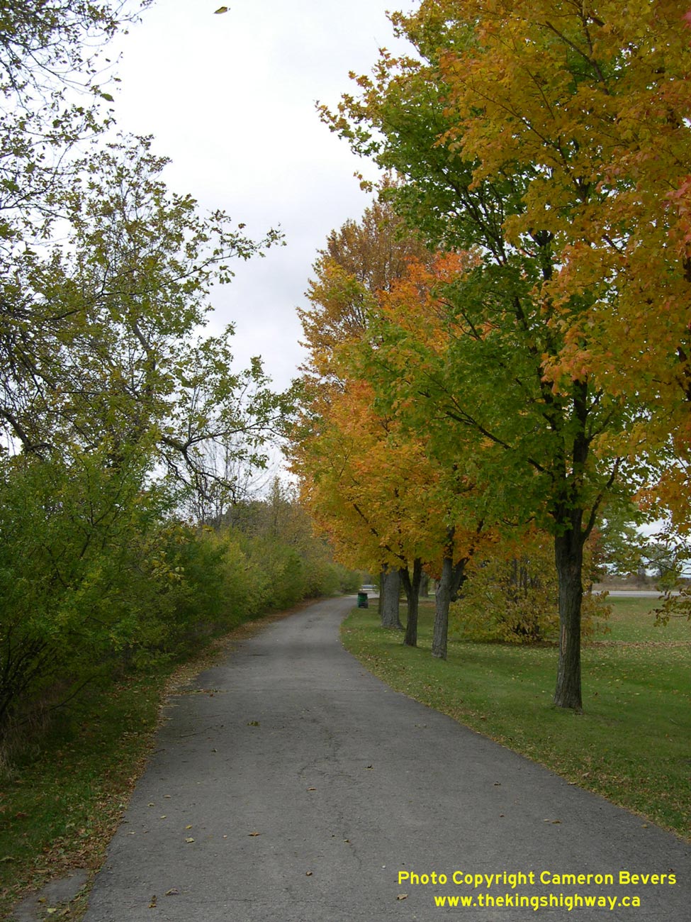
More King's Highway 31 Photographs Coming Soon!
|
|---|
Links to Adjacent King's Highway Photograph Pages:
Back to King's Highway 30 Photos /
King's Highway 31 History /
On to King's Highway 32 Photos
Ontario Highway History - Main Menu / Back to List of Highways Website contents, photos & text © 2002-2026, Cameron
Bevers (Webmaster) - All Rights Reserved / Contact Me
|
|---|