
| 
| |
|
|
This page contains historical photos of Ontario's Secondary Highway 599, along with present day photos of the highway from
Ignace to Savant Lake. All photographs displayed on this page were taken by the Webmaster (Cameron Bevers), unless specifically noted otherwise. Historical
photographs are arranged in approximate chronological order, while present day photographs (Year 2010 to date) are arranged by location from south to north. Click on
any thumbnail to see a larger image!
Please note that all photographs displayed on this
website are protected by copyright. These photographs must not be reproduced, published,
electronically stored or copied, distributed, or posted onto other websites without
my written permission. If you want to use photos from this website, please
email me first for permission. Thank-you!
|
|---|
|
Page 1: Historical Secondary Highway 599 Photographs (1949-2009)

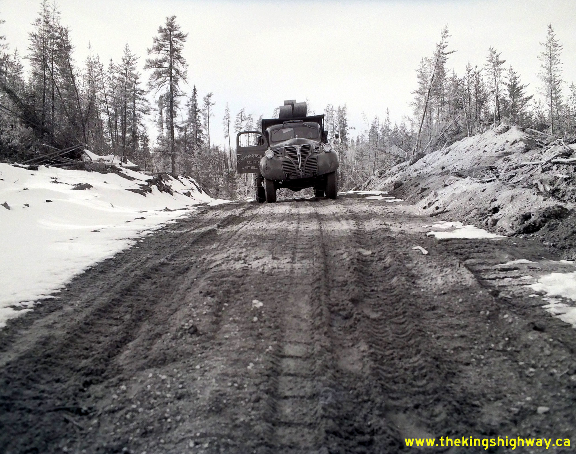
Above - Bergmann Construction Company Ltd. truck on the Savant Lake-Doghole Bay Road (today's Hwy 599), located about 21 miles north of Savant Lake.
Construction began on this crude 83-mile mining supply road during the Winter of 1948-1949, under Department of Highways of Ontario (DHO) Contract #1948-99. This
mining supply road was eventually upgraded and designated as part of Secondary Highway 599 in 1956. See an
Enlarged Photo Here. Photo taken on April 1, 1949. (Photo courtesy of Ontario Ministry of Transportation - © King's Printer for Ontario, 1949) 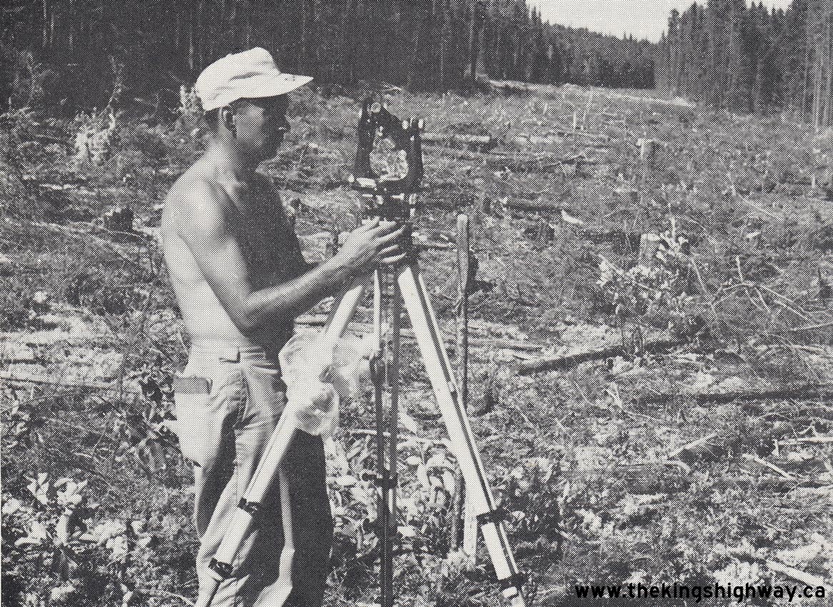
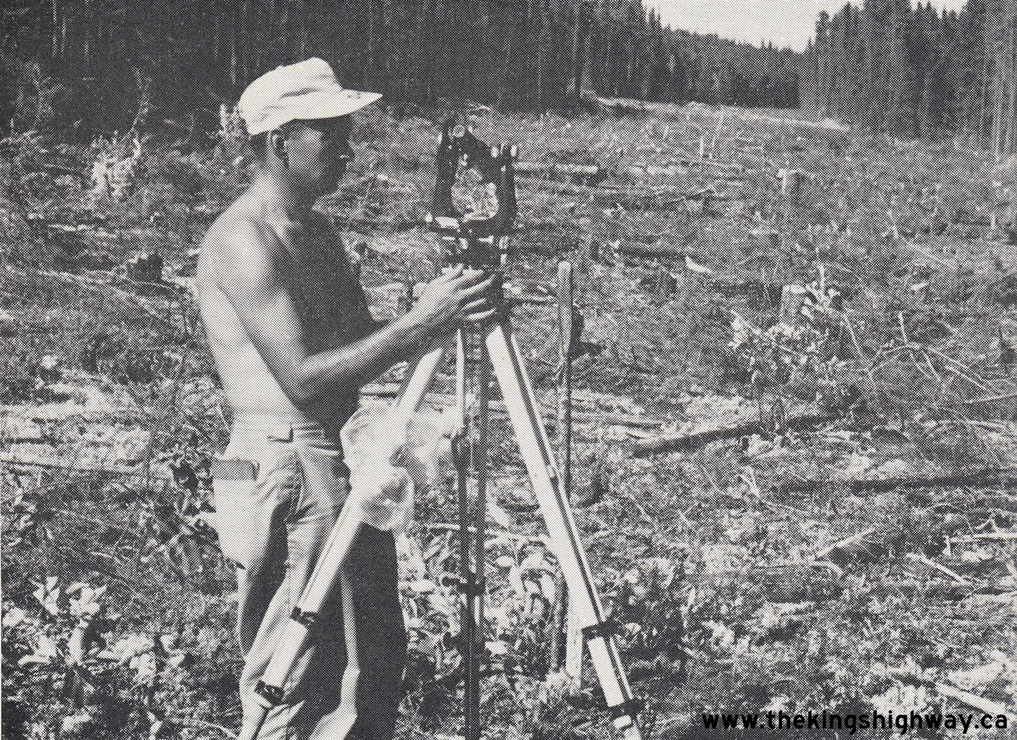
Above - Surveyor at work setting elevations for the proposed Resource Road (today's Hwy 599) north of Pickle Lake. See an
Enlarged Photo Here. Photo taken in 1963. (Photo courtesy of Ontario Ministry of Transportation - © King's Printer for Ontario, 1963) 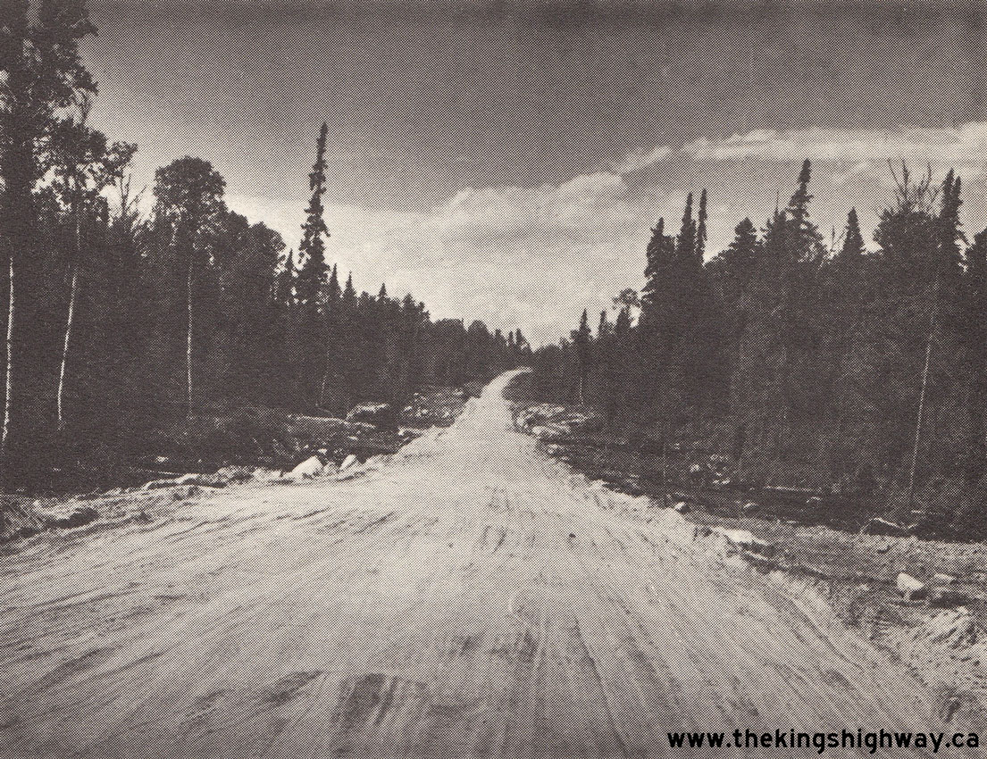
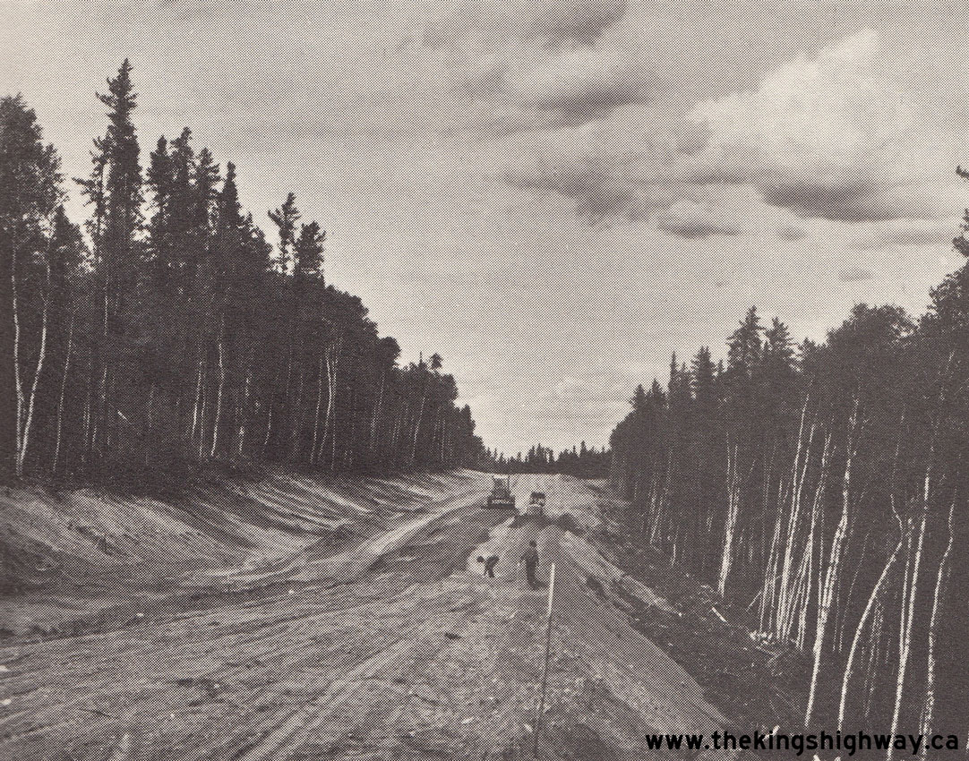
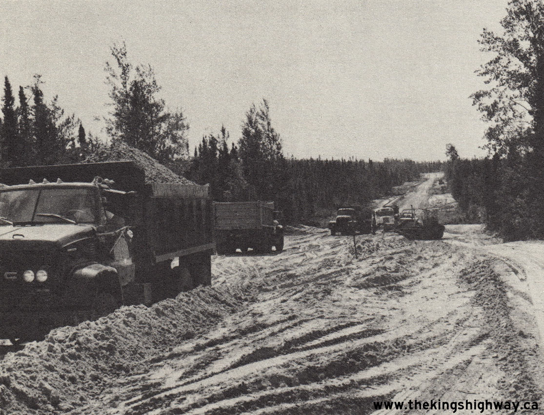
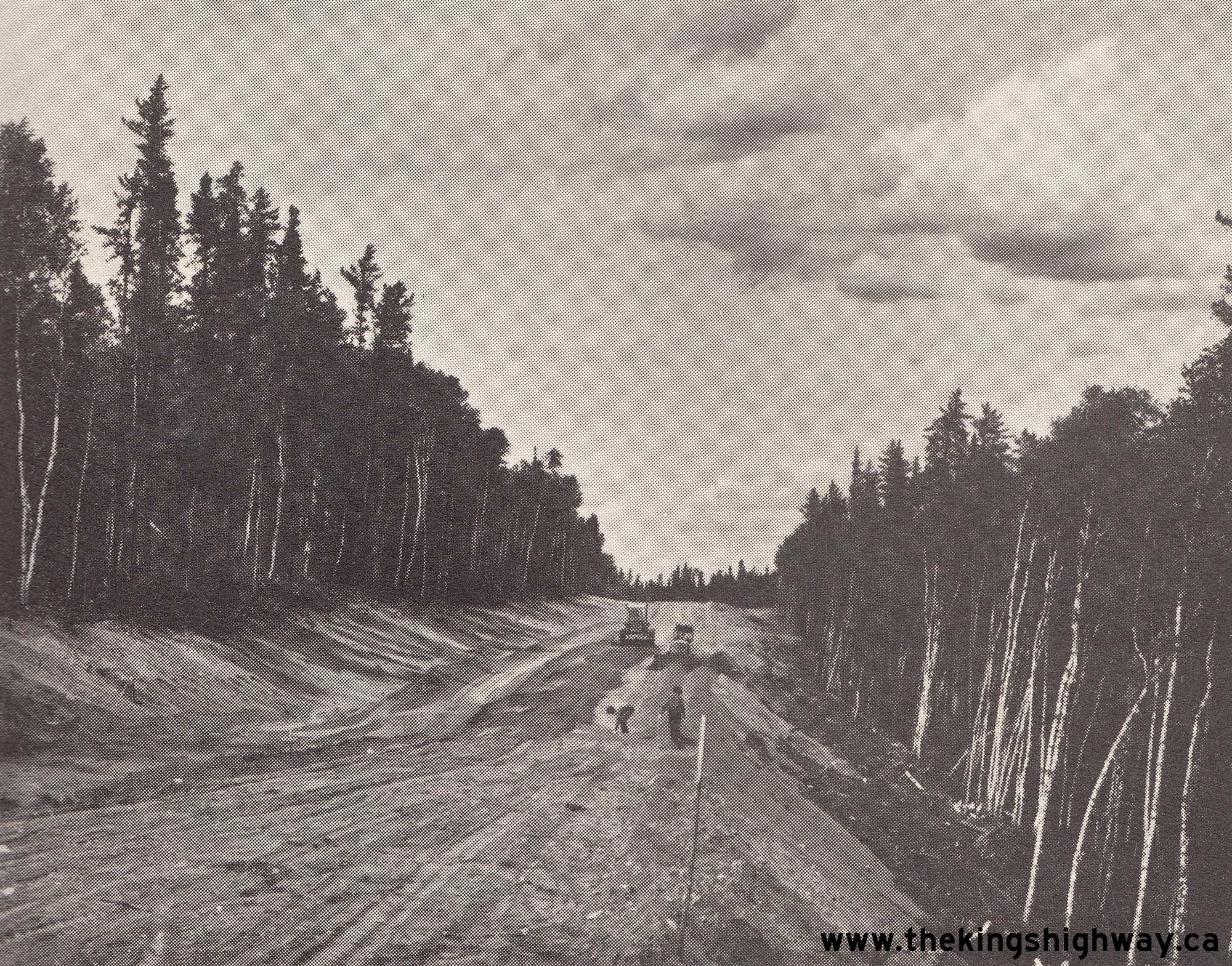
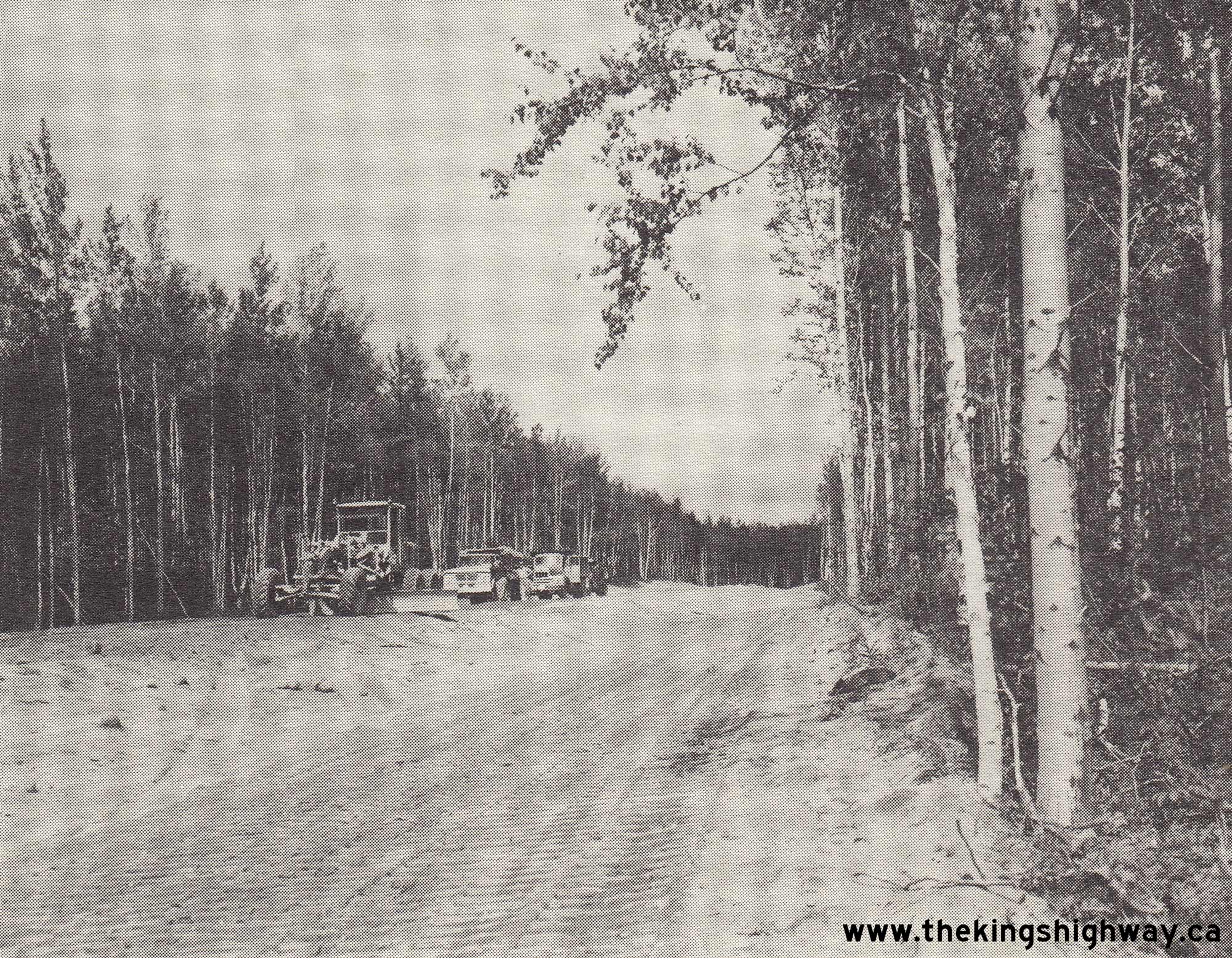
Left - Grading for a new Resource Road (today's Hwy 599) about 30 miles south of Savant Lake, Contract #1963-102. See an
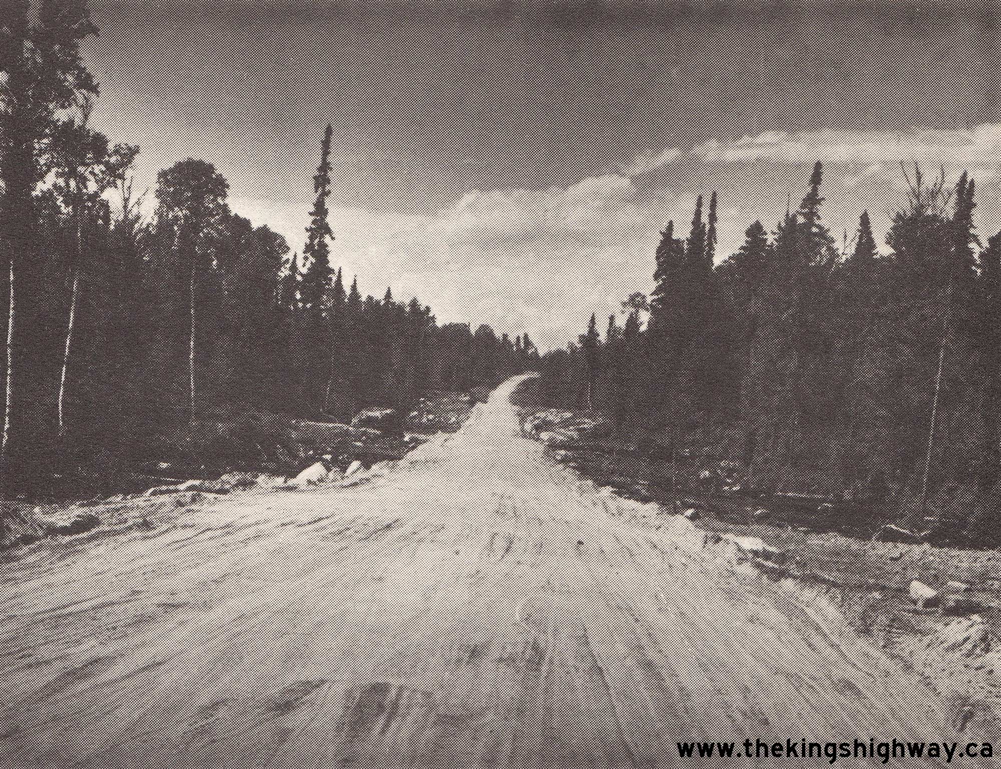
Enlarged Photo Here. Photo taken in 1963. (Photo courtesy of Ontario Ministry of Transportation - © King's Printer for Ontario, 1963) Right - Construction underway on the new Resource Road (today's Hwy 599) north of Pickle Lake, Contract #1963-118. See an Enlarged Photo Here. Photo taken in 1963. (Photo courtesy of Ontario Ministry of Transportation - © King's Printer for Ontario, 1963) 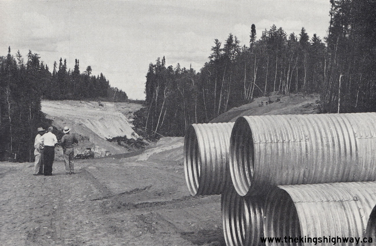
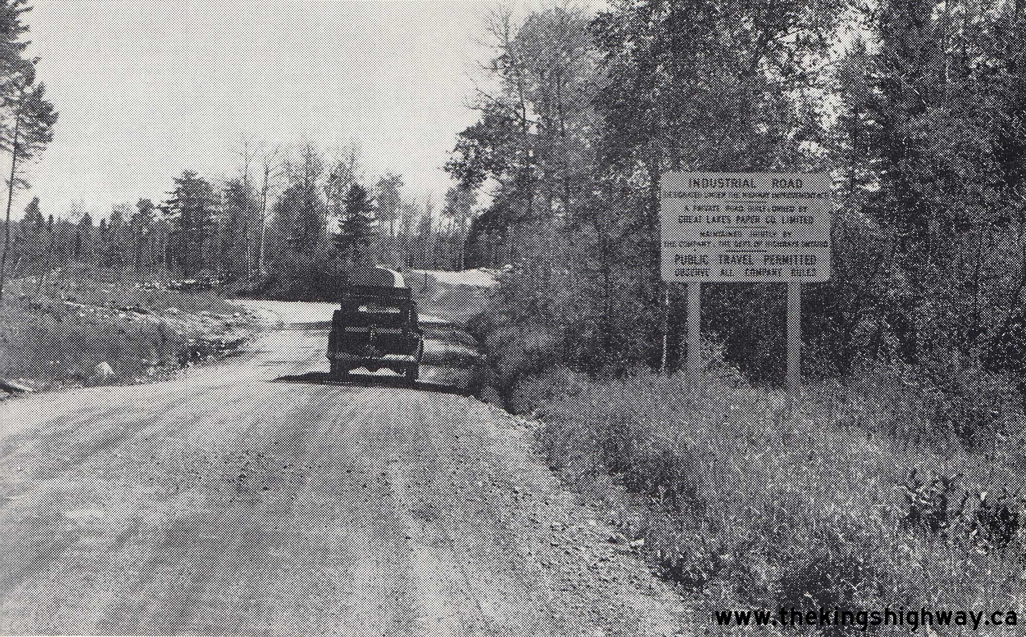
Left - Engineers with the DHO discussing construction progress on the Resource Road (today's Hwy 599) north of Pickle Lake.
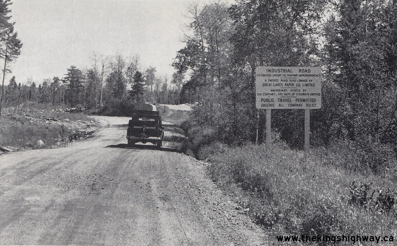
See an Enlarged Photo Here. Photo taken in 1963. (Photo courtesy of Ontario Ministry of Transportation - © King's Printer for Ontario, 1963) Right - Highway sign marking the Ignace-Valora Industrial Road, which served as a temporary road link between Hwy 17 and the discontinuous northern leg of Hwy 599. This forest access road was the first of Ontario's Industrial Roads, which were privately owned access roads made available to public travel under an agreement with the DHO. The Ignace-Valora Industrial Road was first opened to public travel on February 15, 1963, which allowed highway travel between Hwy 17 in Ignace and Pickle Lake for the first time. Previously, vehicles had to be transported by rail to Savant Lake in order to access Hwy 599 to Pickle Lake. During the early 1960s, the discontinuous Savant Lake Road (Hwy 599) was tied into the Industrial Road to Ignace, which finally connected Hwy 599 to the rest of Ontario's road system. A permanent and more direct route for Hwy 599 between Ignace and Valora was completed further to the east in 1965. See an Enlarged Photo Here. Photo taken in 1964. (Photo courtesy of Ontario Ministry of Transportation - © King's Printer for Ontario, 1964) 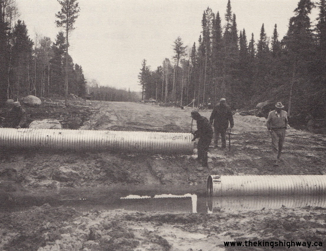
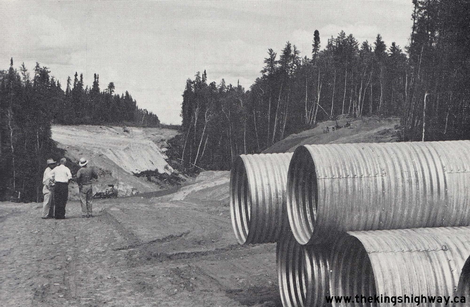
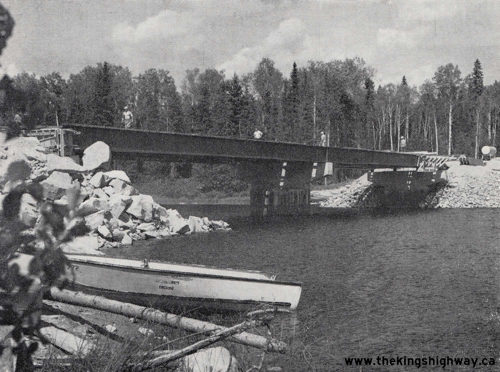
Left - Culvert installation on the Savant Lake Road (Hwy 599) north of Ignace, Contract #1963-293. See an
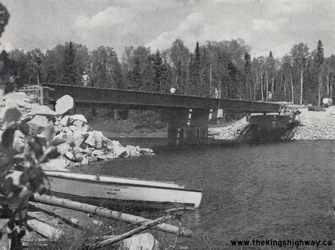
Enlarged Photo Here. Photo taken in 1964. (Photo courtesy of Ontario Ministry of Transportation - © King's Printer for Ontario, 1964) Right - Crystal River Bridge under construction on Hwy 599. Once this structure and another bridge located further south over the English River were completed in the Summer of 1965, Hwy 599 was fully opened to traffic between Ignace and Savant Lake. See an Enlarged Photo Here. Photo taken in 1965. (Photo courtesy of Ontario Ministry of Transportation - © King's Printer for Ontario, 1965) 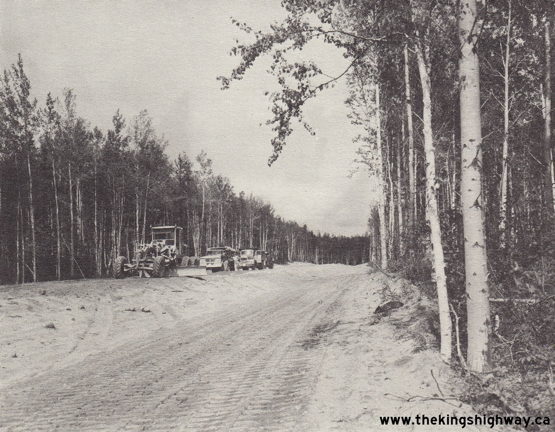
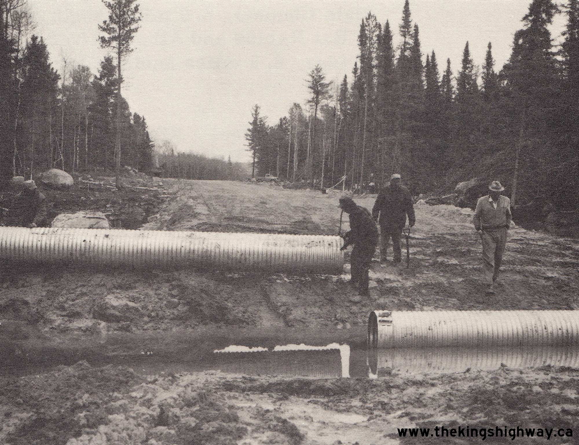
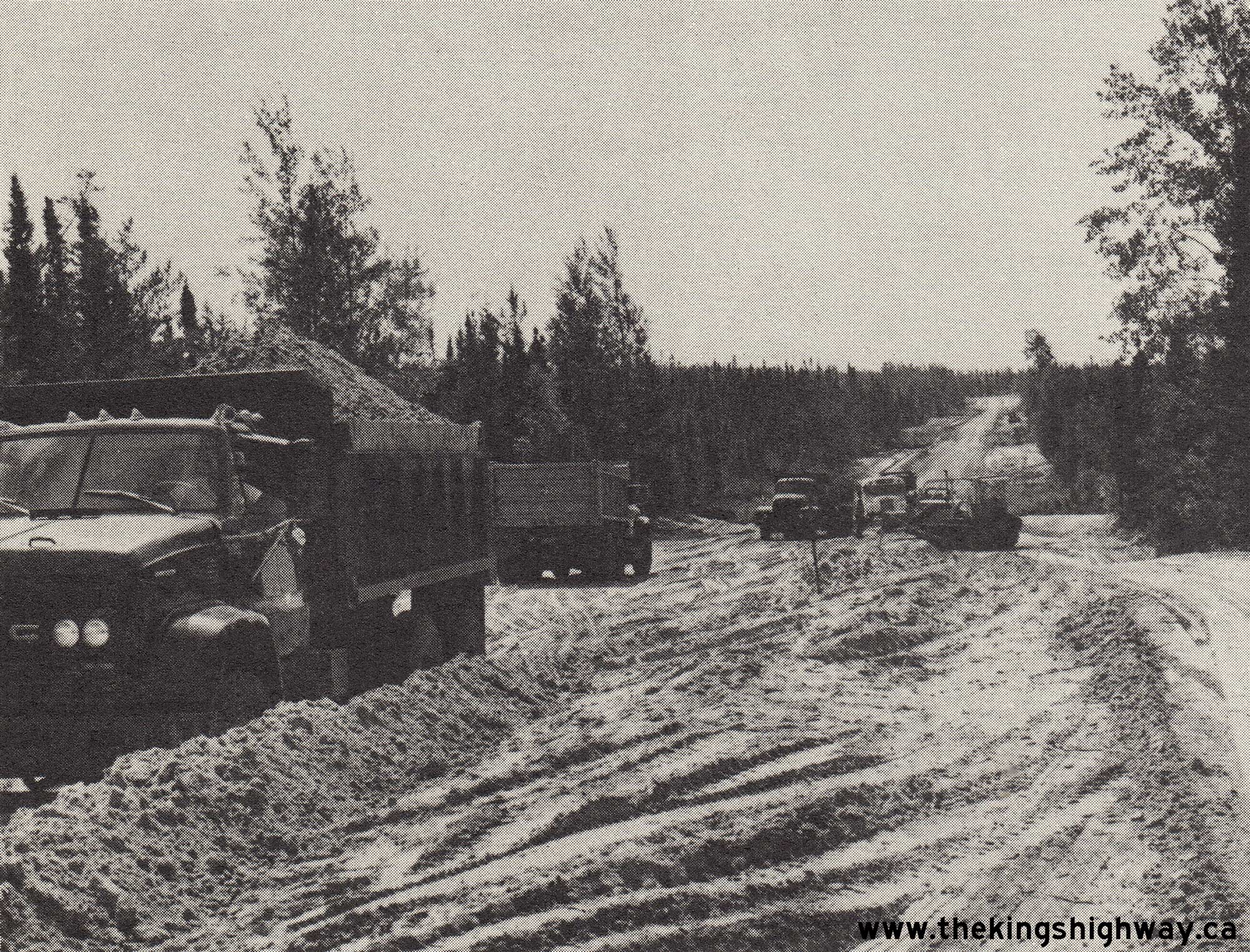
Left - Construction of Hwy 599 north of Pickle Lake, Contract #1965-206. See an
Enlarged Photo Here. Photo taken in 1965. (Photo courtesy of Ontario Ministry of Transportation - © King's Printer for Ontario, 1965) Right - Placing granular base on a reconstructed section of Hwy 599 south of Pickle Lake, Contract #1970-150. See an Enlarged Photo Here. Photo taken in 1970. (Photo courtesy of Ontario Ministry of Transportation - © King's Printer for Ontario, 1970) 
Above - Green guide sign on westbound Hwy 17 approaching the Hwy 599 Junction in Ignace. See an
Enlarged Photo Here. (Photograph taken on August 31, 2006 - © Cameron Bevers) 
Above - Junction of Hwy 599 and Hwy 642 at Silver Dollar. See an
Enlarged Photo Here. (Photograph courtesy of Roy Clark - © 2003) 

Left - A very lonely stretch of Hwy 599 north of Savant Lake. See an
Enlarged Photo Here. (Photograph taken on August 24, 2003 - © Cameron Bevers) Right - Sign on Hwy 599 welcoming motorists to Pickle Lake, indicating that the population of Pickle Lake is "Somewhat smaller than Toronto". Just for the record, the entire population of the Pickle Lake area is less than 1,000. See an Enlarged Photo Here. (Photograph taken on August 24, 2003 - © Cameron Bevers) 

Left - Facing north along Hwy 599 at Central Patricia in 2003. The road seen at left is Pickle Lake Road (Former Hwy 646 West) which leads to Pickle Lake. See
an Enlarged Photo Here. (Photograph taken on August 24, 2003 - © Cameron Bevers) Right - Northern terminus of Hwy 599 at Central Patricia. The road at right just beyond the sign is Former Hwy 646 East to Pickle Crow. See an Enlarged Photo Here. (Photograph taken on August 24, 2003 - © Cameron Bevers) 

Left - A picture of myself beside the "Hwy 599 Ends" sign in Central Patricia in 2003. See an
Enlarged Photo Here. (Photograph taken on August 24, 2003 - © Cameron Bevers) Right - It is a long road home from Pickle Lake. It is a 3 1/2 hour drive just to get back to Ignace and Hwy 17. See an Enlarged Photo Here. (Photograph taken on August 24, 2003 - © Cameron Bevers) 

Left - Newly-constructed bridge on the Northern Ontario Resource Trail (NORT Road) at Central Patricia in 2003. This bridge spans a mining hazard emanating
from an adjacent mine which closed several decades ago. See an Enlarged Photo Here. (Photograph taken on August 24, 2003 - © Cameron Bevers) Right - The end of Former Hwy 808 and the beginning of Hwy 599 at Central Patricia in 2003, facing south. The road intersecting at the left is Former Hwy 646 East, which led to the old Pickle Crow Gold Mine. See an Enlarged Photo Here. (Photograph taken on August 24, 2003 - © Cameron Bevers) 

Left - Highway sign marking the official end of Ontario's northernmost highway in 2003. In recent years, the route of Hwy 599 has been extended even further
north to the Otoskwin River Bridge. Accordingly, Hwy 599 no longer ends at Central Patricia as it did when this photo was taken. See an
Enlarged Photo Here. (Photograph taken on August 24, 2003 - © Cameron Bevers) Right - Headframe of an abandoned gold mine in Central Patricia at the end of Hwy 599 in 2003. The Pickle Lake area has many vestiges of its mining past. See an Enlarged Photo Here. (Photograph taken on August 24, 2003 - © Cameron Bevers) |
|---|
|
Present Day Secondary Highway 599 Photographs (Ignace to Savant Lake)
Section Under Development - Watch for Updates Soon!
Continue on to Secondary Highway 599 Present Day Photos: Savant Lake to Pickle Lake
|
|---|
Links to Adjacent Highway Photograph Pages:
Back to Secondary Highway 584 Photos /
Secondary Highway 599 History /
On to Secondary Highway 609 Photos
Ontario Highway History - Main Menu / Back to List of Highways / Main Photograph Index Page Website contents, photos & text © 2002-2026, Cameron
Bevers (Webmaster) - All Rights Reserved / Contact Me
|
|---|