
| 
| |
|
|
This page contains present day photos (Year 2000 to date) of Ontario's King's Highway 60, arranged by location from the Highway
35 Junction at Dwight easterly to Algonquin Provincial Park's West Gate. All photographs displayed on this page were taken by the Webmaster (Cameron Bevers), unless
specifically noted otherwise. Click on any thumbnail to see a larger image!
Please note that all photographs displayed on this
website are protected by copyright. These photographs must not be reproduced, published,
electronically stored or copied, distributed, or posted onto other websites without
my written permission. If you want to use photos from this website, please
email me first for permission. Thank-you!
|
|---|
|
Page 3: Present Day King's Highway 60 Photographs (Dwight to Algonquin Park's West Gate)
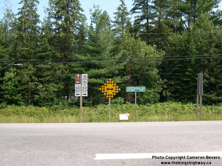
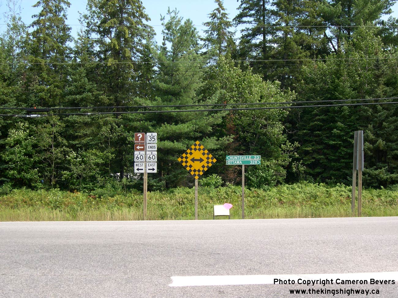
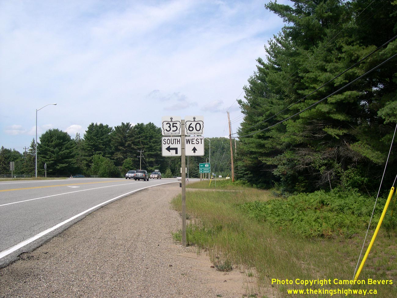
Above - Junction sign assembly at the Hwy 35 & Hwy 60 Junction at Dwight. These two highways have joined together at this intersection ever since Hwy 35 and
Hwy 60 were first established through Muskoka in 1937. See an Enlarged Photo Here. (Photograph taken on August 6, 2006 - © Cameron Bevers) 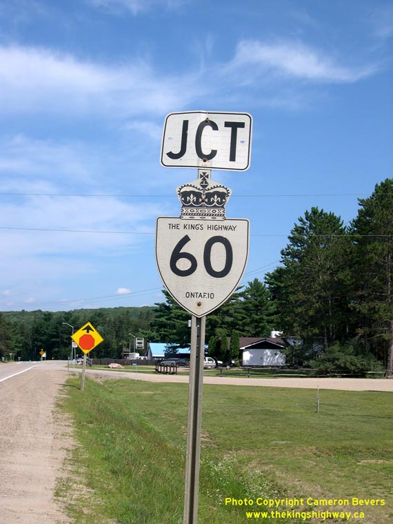
Above - Hwy 60 "JCT" Junction Sign on northbound Hwy 35 at Dwight. See an
Enlarged Photo Here. (Photograph taken on August 6, 2006 - © Cameron Bevers) 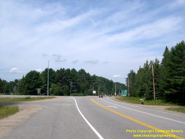

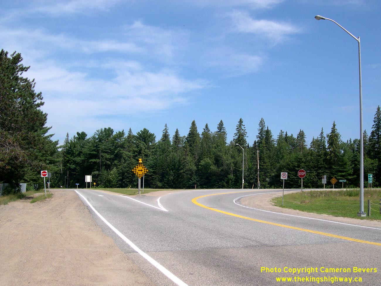
Left - Facing west along Hwy 60 towards the Hwy 35 Junction at Dwight. Traffic continuing straight through this intersection on westbound Hwy 60 will
eventually reach Hwy 11 at Huntsville. See an Enlarged Photo Here. (Photograph taken on August 6, 2006 - © Cameron Bevers) Right - After travelling north for almost 200 km, the route of Hwy 35 reaches its northern terminus at the Hwy 60 Junction at Dwight. Historically, this intersection was a "Y" Junction, but it was realigned to its current configuration decades ago. See an Enlarged Photo Here. (Photograph taken on August 6, 2006 - © Cameron Bevers) 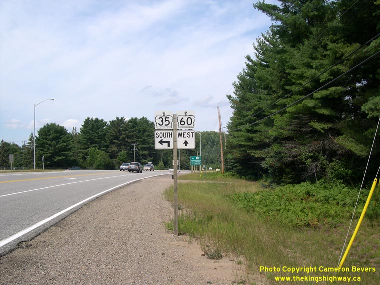
Left - Junction assembly on westbound Hwy 60 approaching the Hwy 35 Junction at Dwight. From 1937 up until 1966, Hwy 35 & Hwy 60 were signed
concurrently between Dwight and Huntsville. The route of Hwy 35 was truncated at the Hwy 60 Junction at Dwight in 1966, and the overlapped route of Hwy 35 &
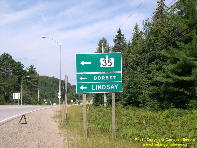
Hwy 60 from Dwight to Huntsville was discontinued. See an Enlarged Photo Here. (Photograph taken on August 6, 2006 - © Cameron Bevers) Right - Guide sign marking the turn-off for Hwy 35 on westbound Hwy 60 at Dwight. The most distant control city signed via Hwy 35 is Lindsay, which is located approximately 140 km south of Dwight. See an Enlarged Photo Here. (Photograph taken on August 6, 2006 - © Cameron Bevers) 

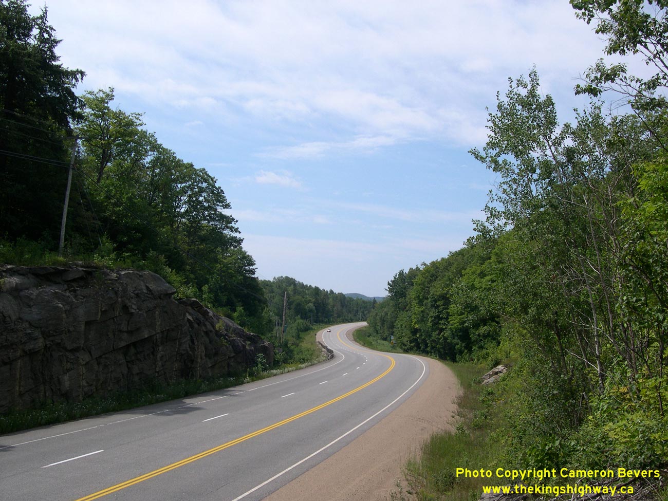
Left - Facing west along Hwy 60 towards Dwight near Oxtongue Lake. See an
Enlarged Photo Here. (Photograph taken on August 6, 2006 - © Cameron Bevers) Right - Facing east along Hwy 60 towards Oxtongue Lake. See an Enlarged Photo Here. (Photograph taken on August 6, 2006 - © Cameron Bevers) 

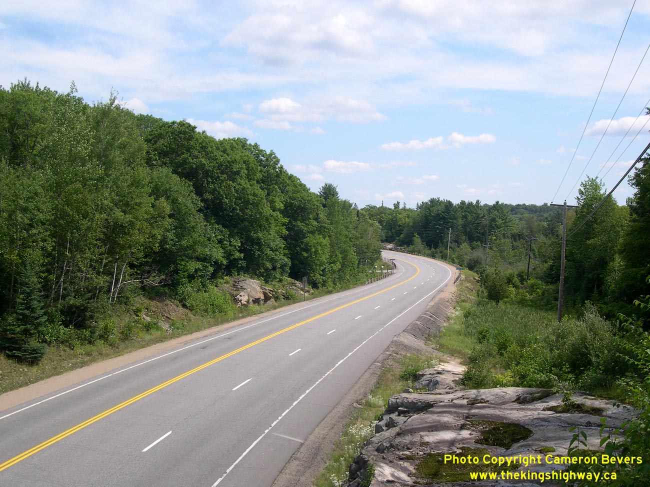
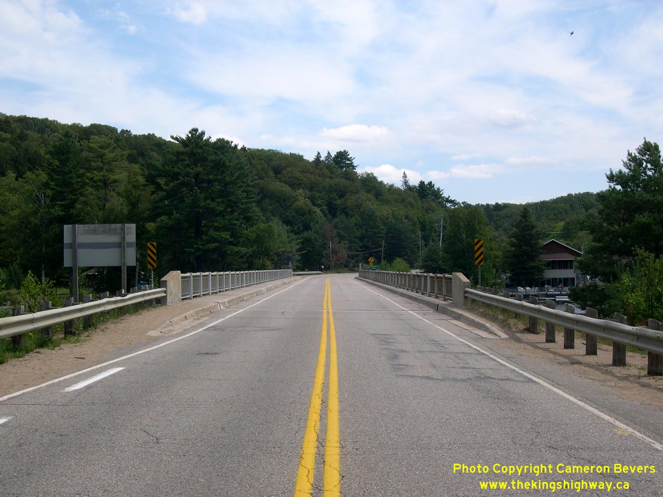
Left - Facing east along Hwy 60 towards the Oxtongue Lake Bridge. See an
Enlarged Photo Here. (Photograph taken on August 6, 2006 - © Cameron Bevers) Right - Oxtongue Lake Bridge on Hwy 60 between Dwight and Algonquin Park. See an Enlarged Photo Here. (Photograph taken on August 6, 2006 - © Cameron Bevers) 

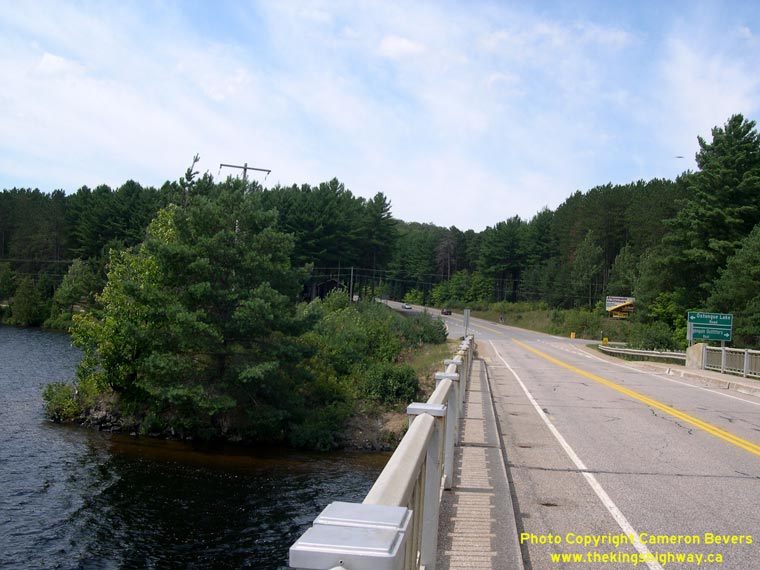
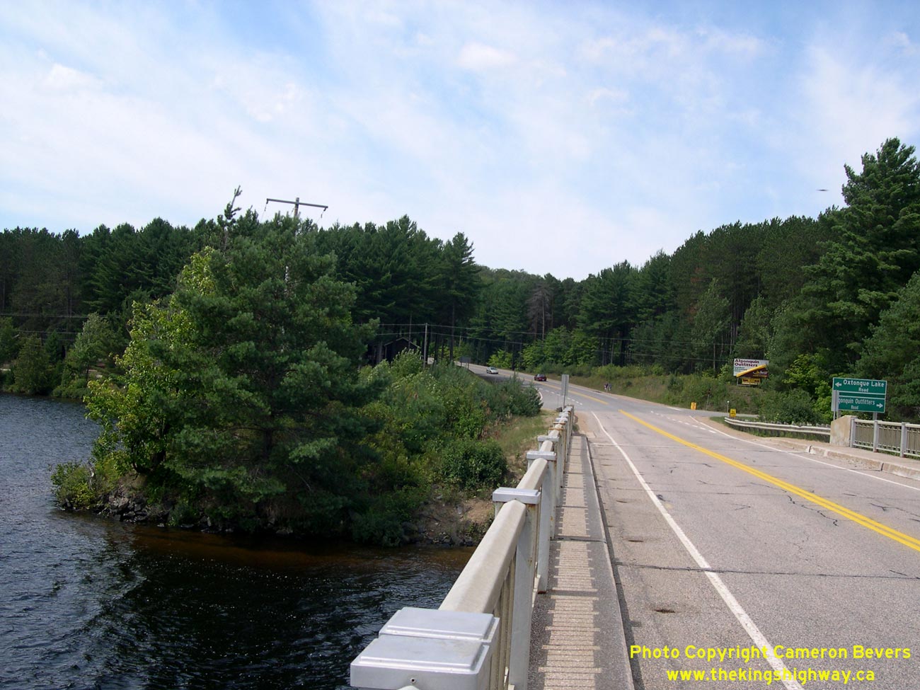
Left - Facing east along Hwy 60 across the Oxtongue Lake Bridge. See an
Enlarged Photo Here. (Photograph taken on August 6, 2006 - © Cameron Bevers) Right - Facing west along Hwy 60 across the Oxtongue Lake Bridge. See an Enlarged Photo Here. (Photograph taken on August 6, 2006 - © Cameron Bevers) 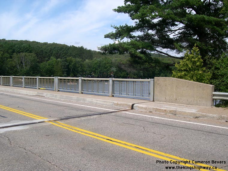

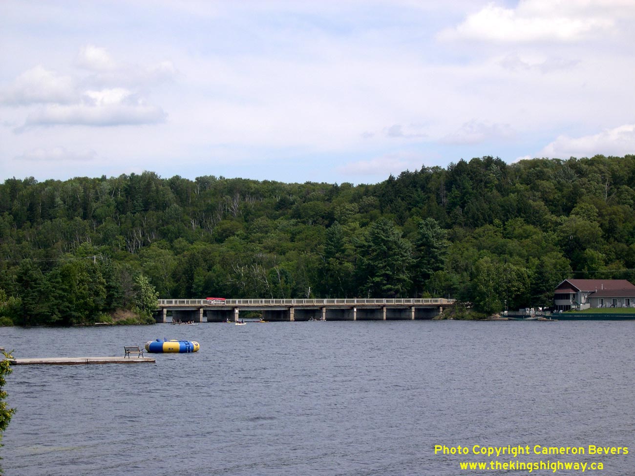
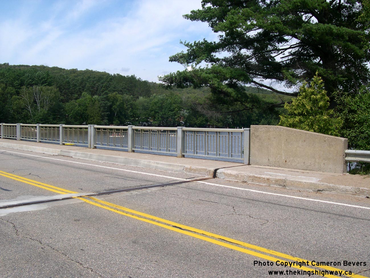
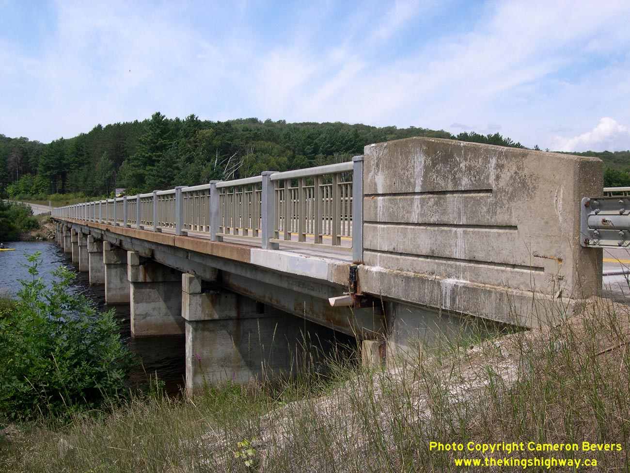
Left - Close-up of the parapet design of the Oxtongue Lake Bridge on Hwy 60. See an
Enlarged Photo Here. (Photograph taken on August 6, 2006 - © Cameron Bevers) Right - Southern side of the Oxtongue Lake Bridge. Structure completed in 1962. See an Enlarged Photo Here. (Photograph taken on August 6, 2006 - © Cameron Bevers) 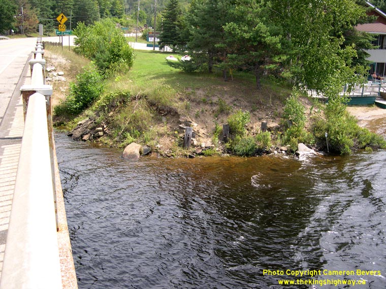
Left - Former approach to the Old Oxtongue Lake Bridge on Hwy 60. The current steel beam bridge replaced a timber truss and trestle structure which
was built in the 1930s. The sawn-off timber piles (bents) supporting the original timber structure are still visible below the grassy bank near the water's
edge. See an
Enlarged Photo Here. (Photograph taken on August 6, 2006 - © Cameron Bevers) Right - The former bridge approach on the opposite side of the lake has completely grown over with trees since the old timber bridge was replaced in 1962. See an Enlarged Photo Here. (Photograph taken on August 6, 2006 - © Cameron Bevers) 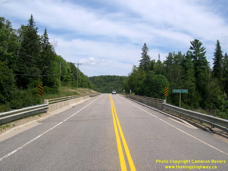

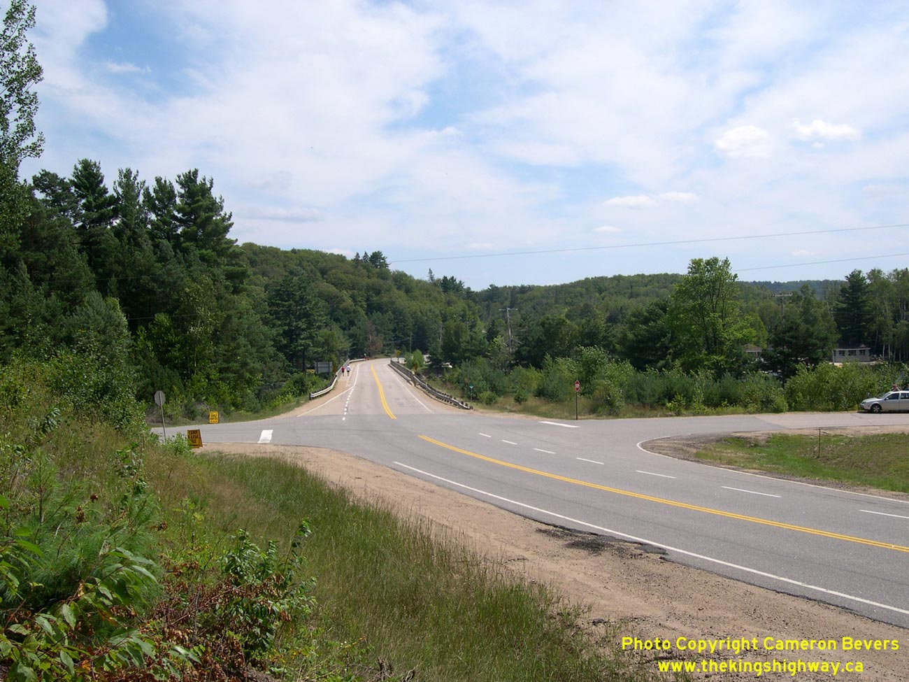
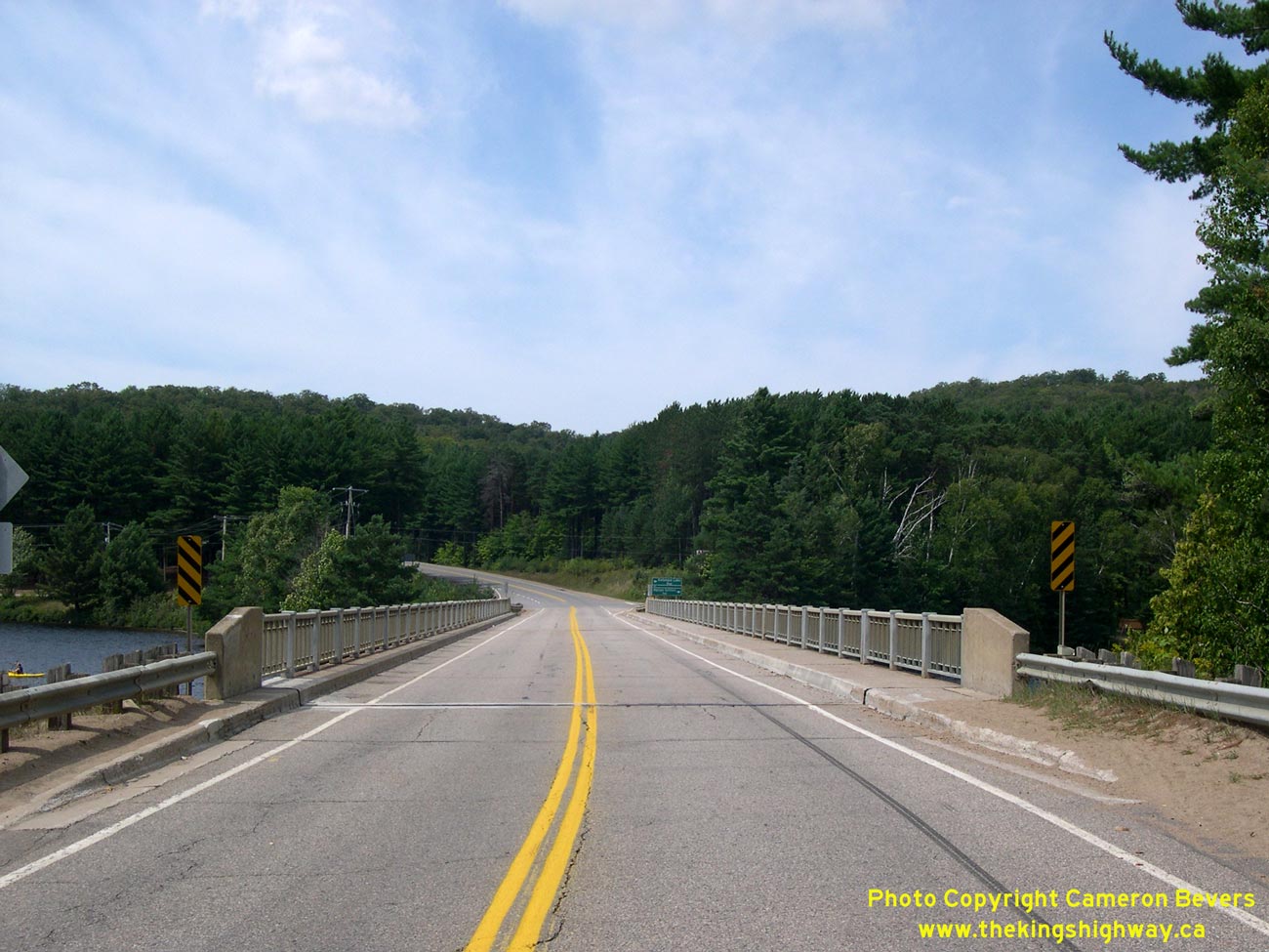
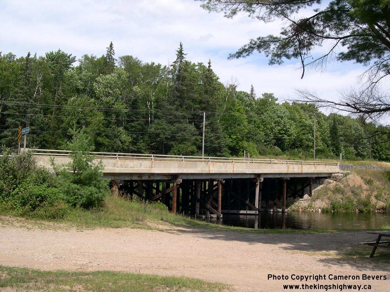
Left - Facing east along Hwy 60 towards Algonquin Provincial Park at the Oxtongue River Bridge. See an
Enlarged Photo Here. (Photograph taken on August 6, 2006 - © Cameron Bevers) Right - Oxtongue River Bridge on Hwy 60 east of Dwight. Structure completed in 1949. See an Enlarged Photo Here. (Photograph taken on August 6, 2006 - © Cameron Bevers) 
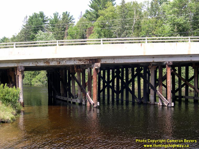
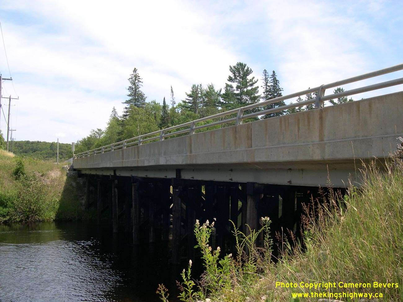
Left - Northern side of the Oxtongue River Bridge on Hwy 60 east of Dwight. See an
Enlarged Photo Here. (Photograph taken on August 6, 2006 - © Cameron Bevers) Right - Close-up of the steel beam and timber trestle superstructure of the Oxtongue River Bridge. See an Enlarged Photo Here. (Photograph taken on August 6, 2006 - © Cameron Bevers)
Continue on to King's Highway 60 Photos: Algonquin Park's West Gate to Whitney
|
|---|
Links to Adjacent King's Highway Photograph Pages:
Back to Hwy 60 - Huntsville to Dwight
Hwy 60 Photo Index
On to Hwy 60 - Algonquin Park's West Gate to Whitney
Back to King's Highway 59 Photos /
King's Highway 60 History /
Back to King's Highway 61 Photos
Ontario Highway History - Main Menu / Back to List of Highways Website contents, photos & text © 2002-2026, Cameron
Bevers (Webmaster) - All Rights Reserved / Contact Me
|
|---|