
| 
| |
|
|
Please note that the highway between Elmira and Kitchener
was briefly known as King's Highway 86 from 1981 until 2003. For the purposes of organization, all photos
pertaining to the Elmira to Kitchener highway will be listed under the
Hwy 85 Photos Page, regardless of age.
This page contains present day photos (Year 2000 to date) of Ontario's King's Highway 86, arranged by location from Elmira easterly to Guelph. All photographs displayed on this page were taken by the Webmaster (Cameron Bevers), unless specifically noted otherwise. Click on any thumbnail to see a larger image! Please note that all photographs displayed on this
website are protected by copyright. These photographs must not be reproduced, published,
electronically stored or copied, distributed, or posted onto other websites without
my written permission. If you want to use photos from this website, please
email me first for permission. Thank-you!
|
|---|
|
Page 4: Present Day King's Highway 86 Photographs (Elmira to Guelph)


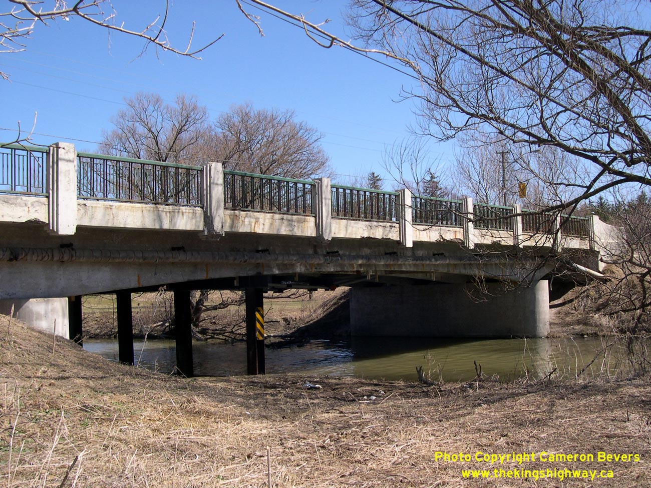
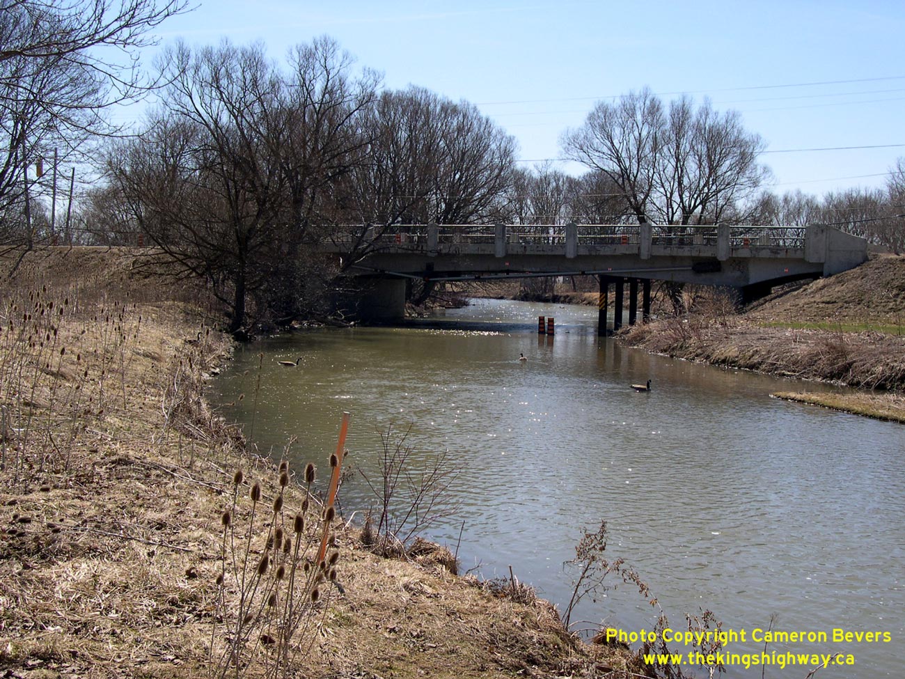
Left - Canagagigue Creek Bridge on Old Hwy 86 in Elmira. Structure completed in 1939. See an
Enlarged Photo here. (Photograph taken on April 9, 2005 - © Cameron Bevers) Right - Northern side of Canagagigue Creek Bridge on Old Hwy 86 in Elmira. See an Enlarged Photo here. (Photograph taken on April 9, 2005 - © Cameron Bevers) 

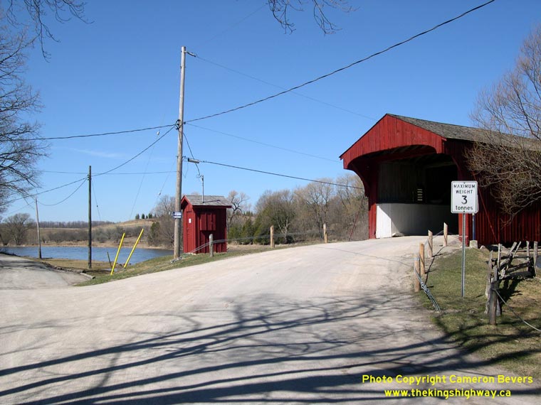
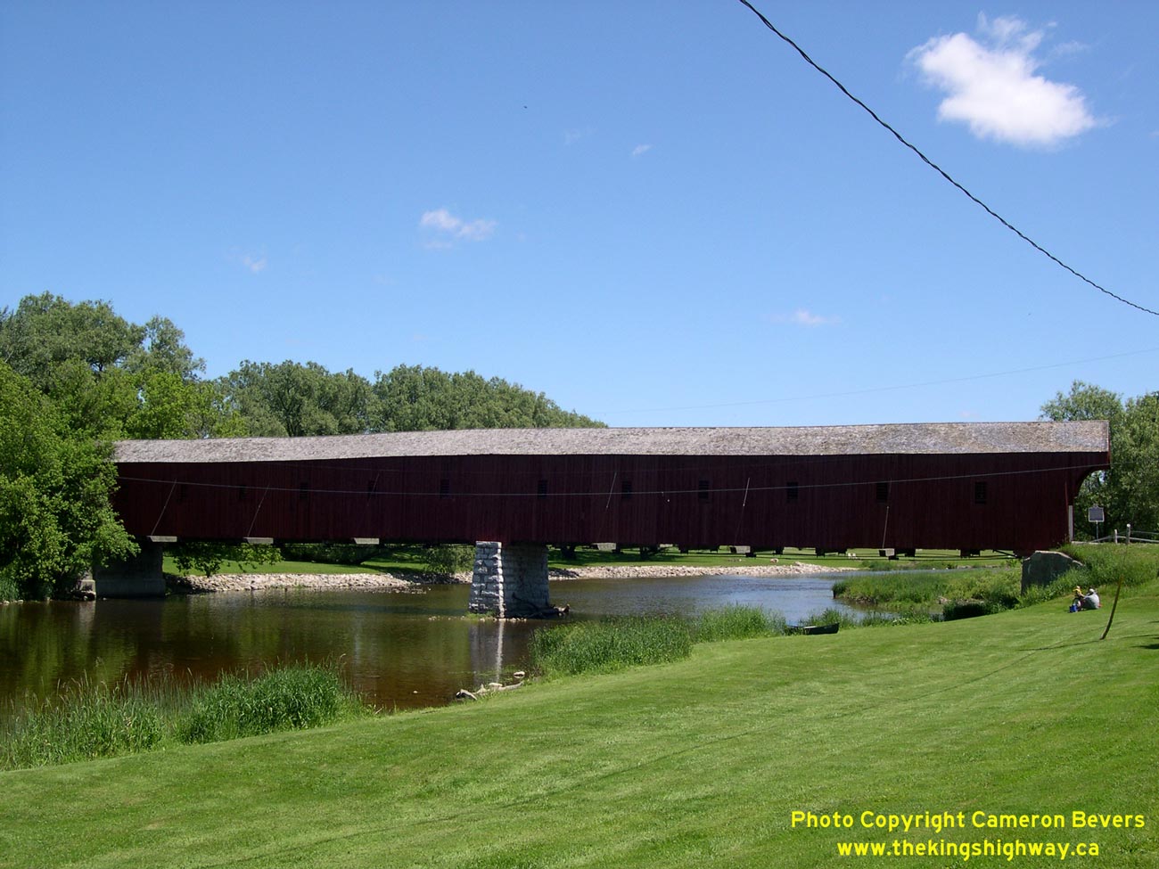
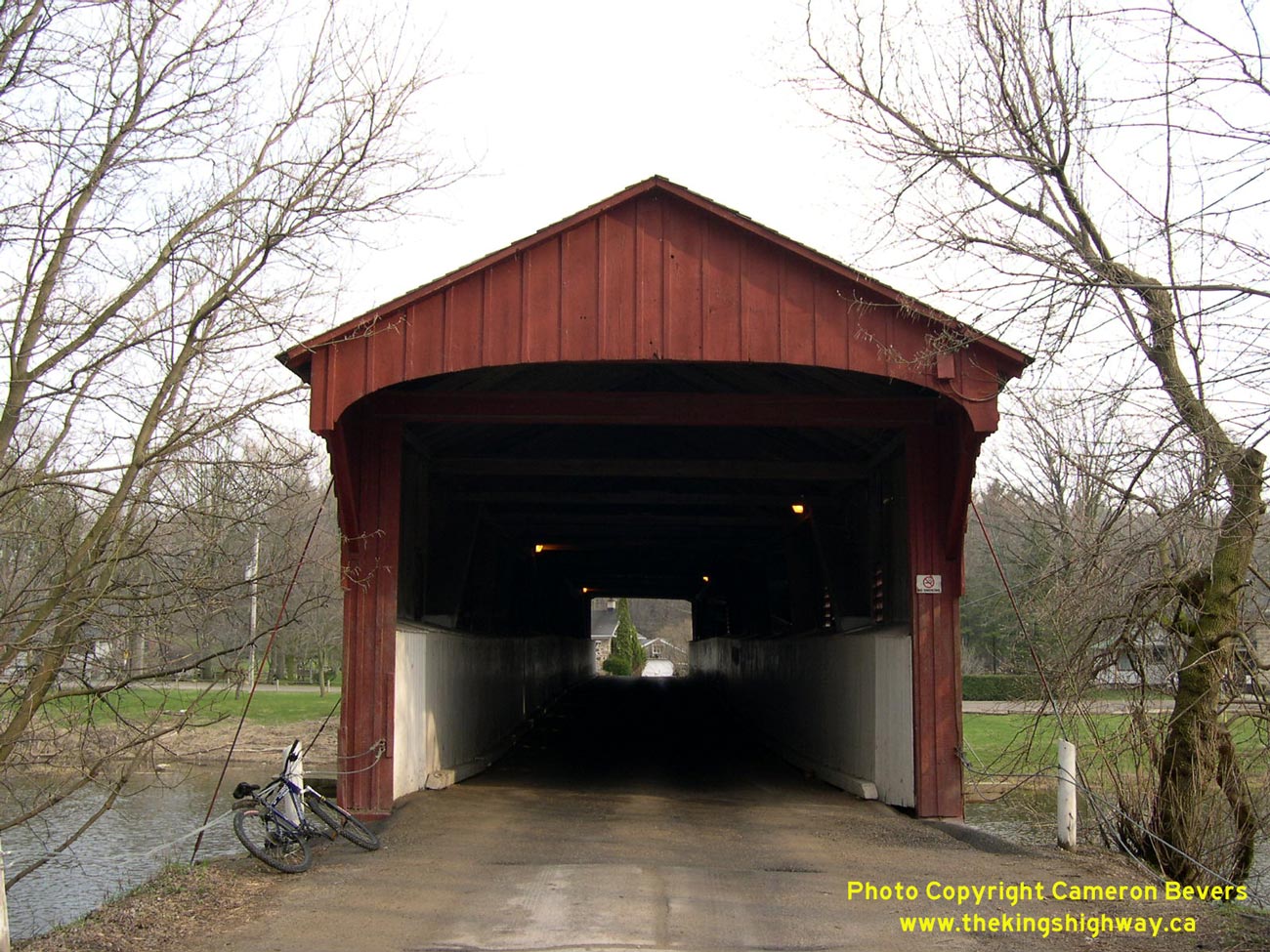
Left - Western side of West Montrose Covered Bridge on Old Hwy 86. Structure completed in 1881. See an
Enlarged Photo here. (Photograph taken on June 10, 2006 - © Cameron Bevers) Right - The West Montrose Covered Bridge is the only covered bridge still standing in Ontario. See an Enlarged Photo here. (Photograph taken on April 9, 2005 - © Cameron Bevers) 
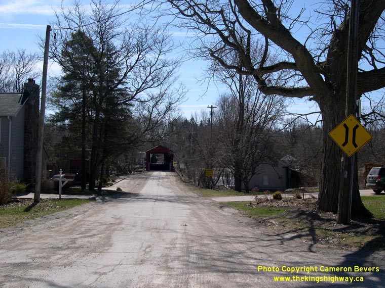
Left - Approaching the West Montrose Covered Bridge on Old Hwy 86 from Guelph. See an
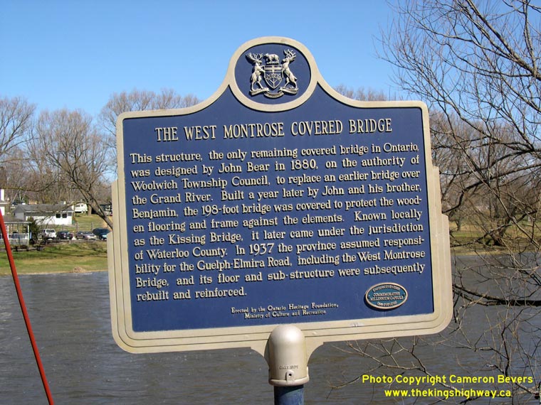
Enlarged Photo here. (Photograph taken on April 9, 2005 - © Cameron Bevers) Right - Ontario Heritage plaque beside the West Montrose Covered Bridge. See an Enlarged Photo here. (Photograph taken on April 9, 2005 - © Cameron Bevers) 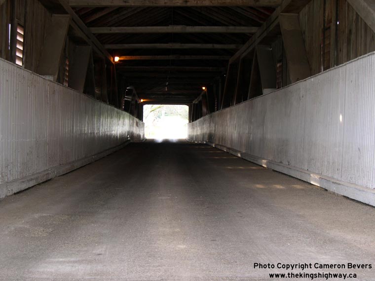

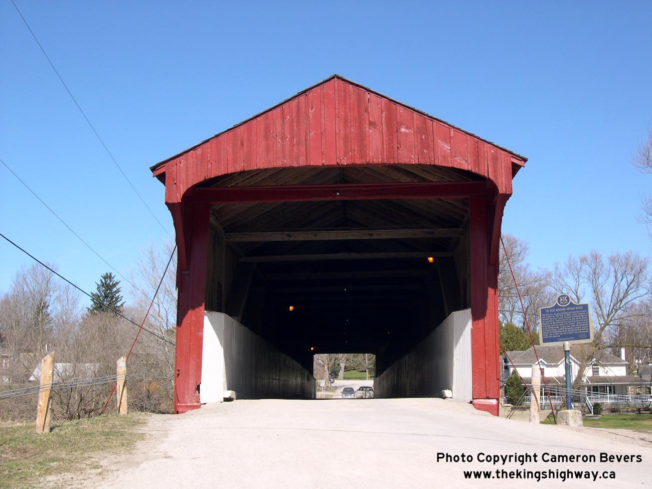
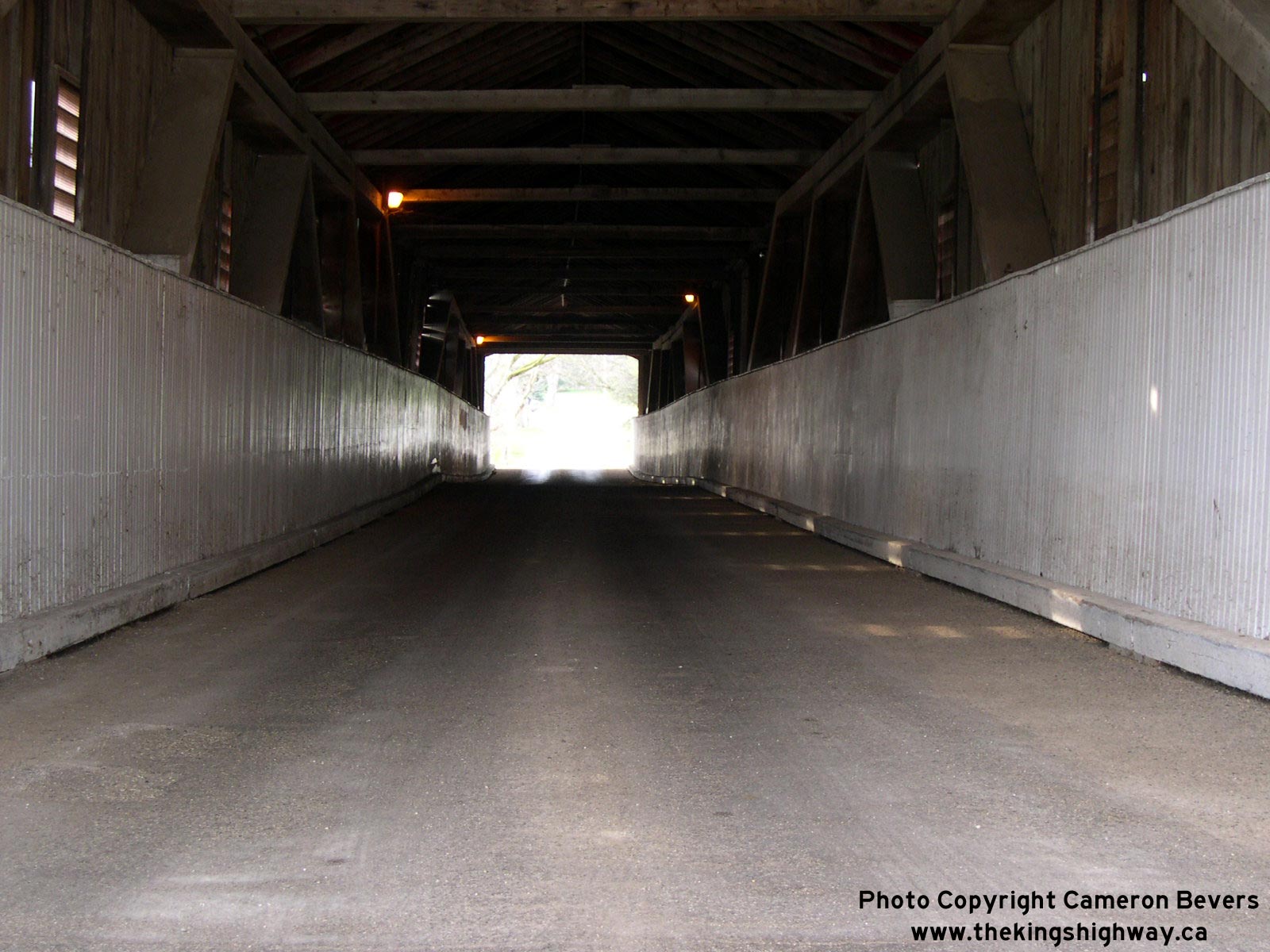
Left - Facing north inside the West Montrose Covered Bridge. See an
Enlarged Photo here. (Photograph taken on April 17, 2004 - © Cameron Bevers) Right - Looking north out of the West Montrose Bridge's north portal. See an Enlarged Photo here. (Photograph taken on April 17, 2004 - © Cameron Bevers) 
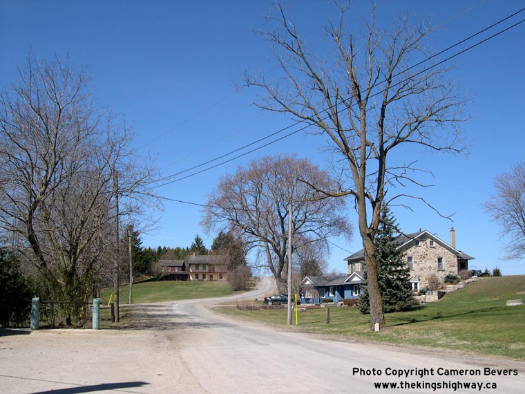
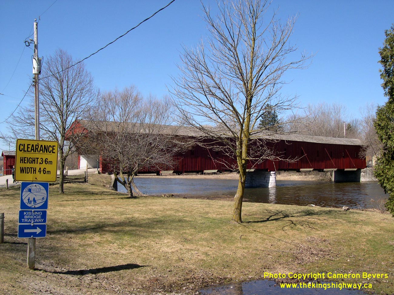
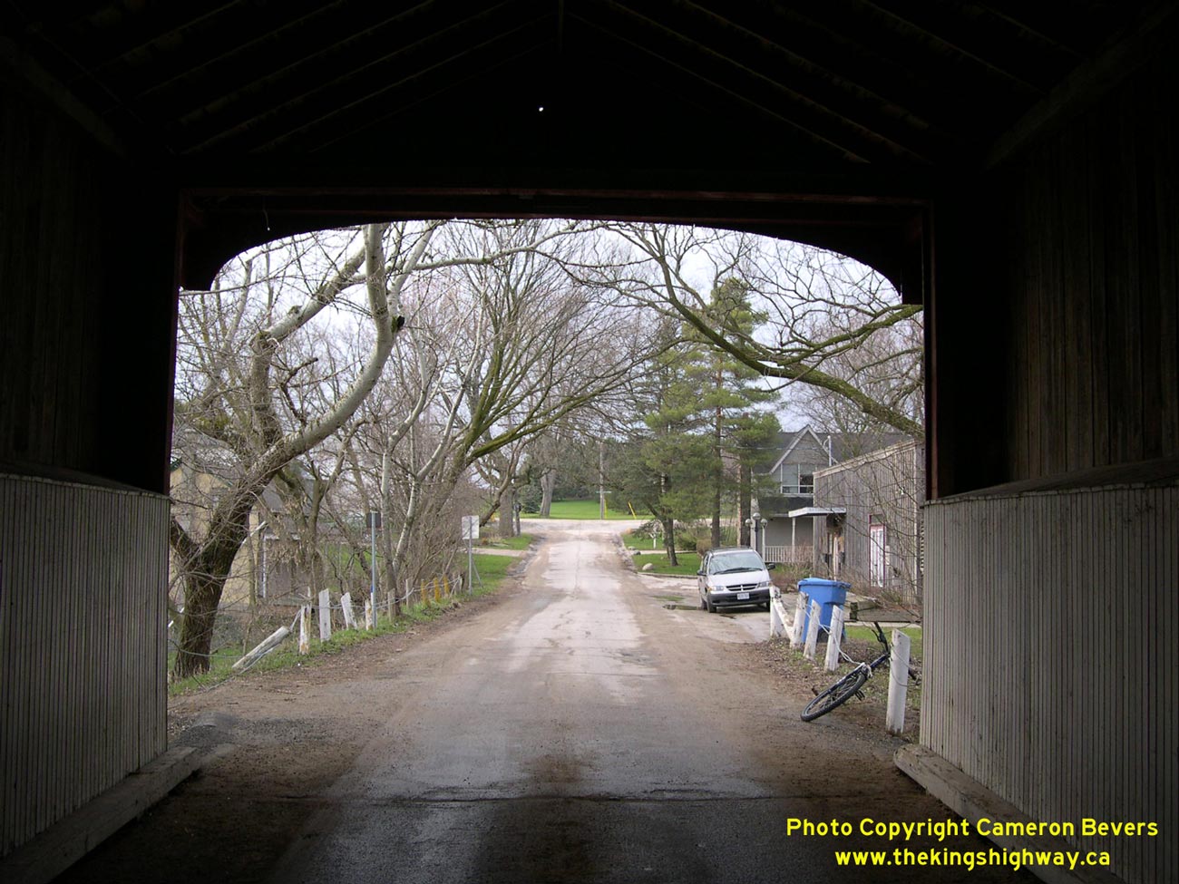
Left - North portal of West Montrose Covered Bridge. See an
Enlarged Photo here. (Photograph taken on April 17, 2004 - © Cameron Bevers) Right - Looking east towards Guelph along Old Hwy 86 in West Montrose. See an Enlarged Photo here. (Photograph taken on April 9, 2005 - © Cameron Bevers) 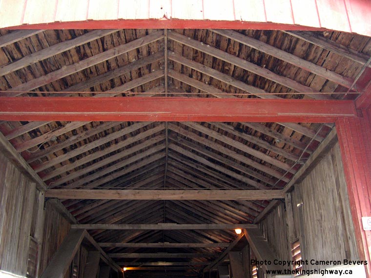

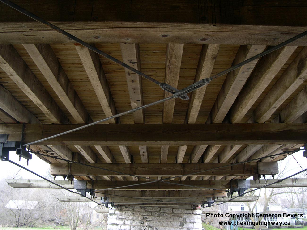
Left - A more detailed interior shot of the ceiling beams and the wooden roof. See an
Enlarged Photo here. (Photograph taken on April 17, 2004 - © Cameron Bevers) Right - Close-up of the shuttered windows on the western side of the West Montrose Bridge. See an Enlarged Photo here. (Photograph taken on April 17, 2004 - © Cameron Bevers) 
Left - View of the wooden deck of West Montrose Covered Bridge. See an
Enlarged Photo here. (Photograph taken on April 17, 2004 - © Cameron Bevers) Right - Approach to the south portal of the West Montrose Bridge. See an Enlarged Photo here. (Photograph taken on April 9, 2005 - © Cameron Bevers) 
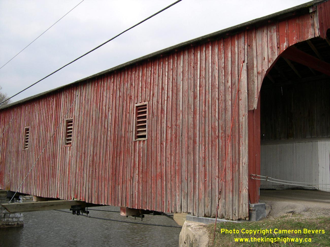
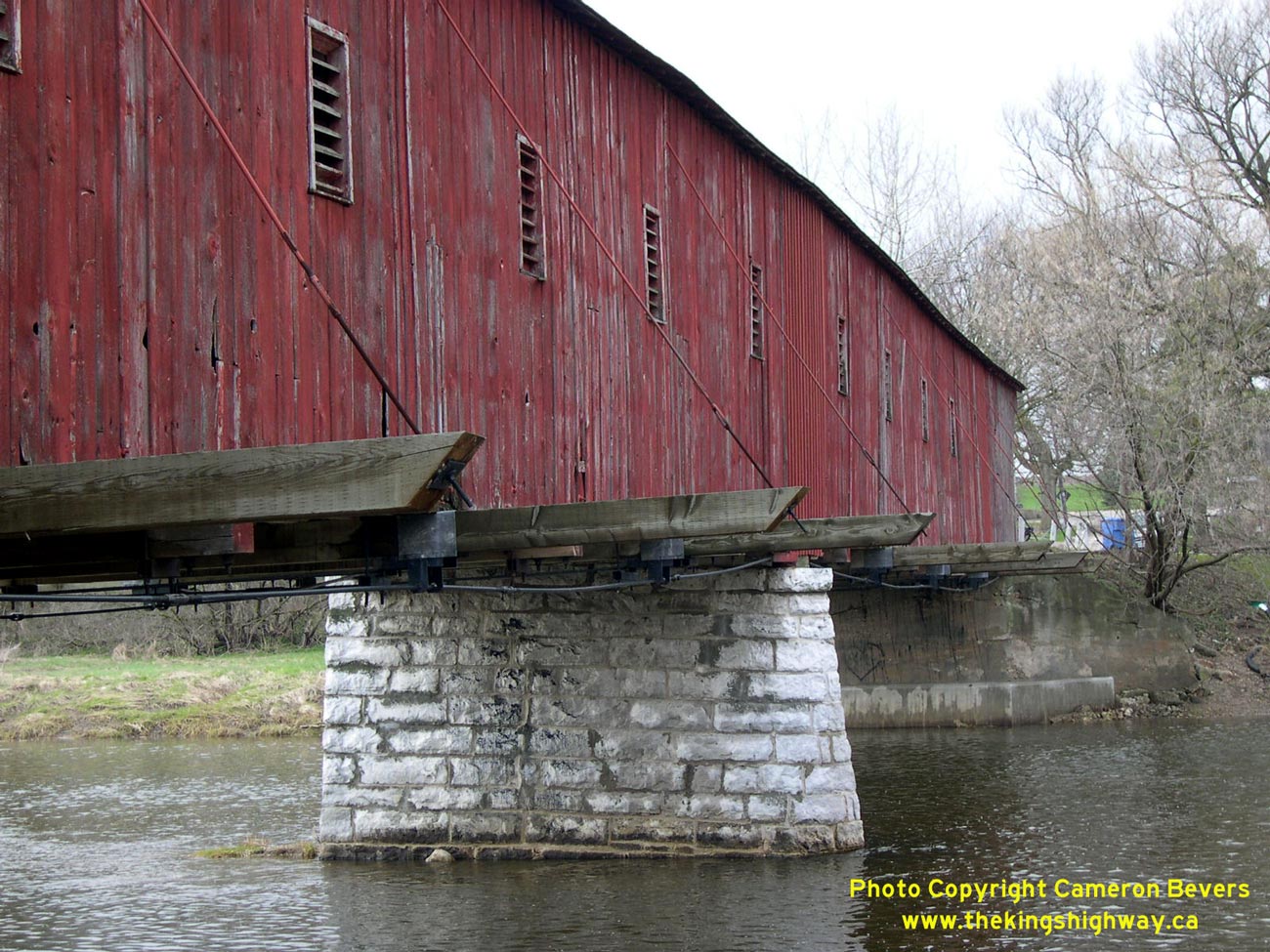
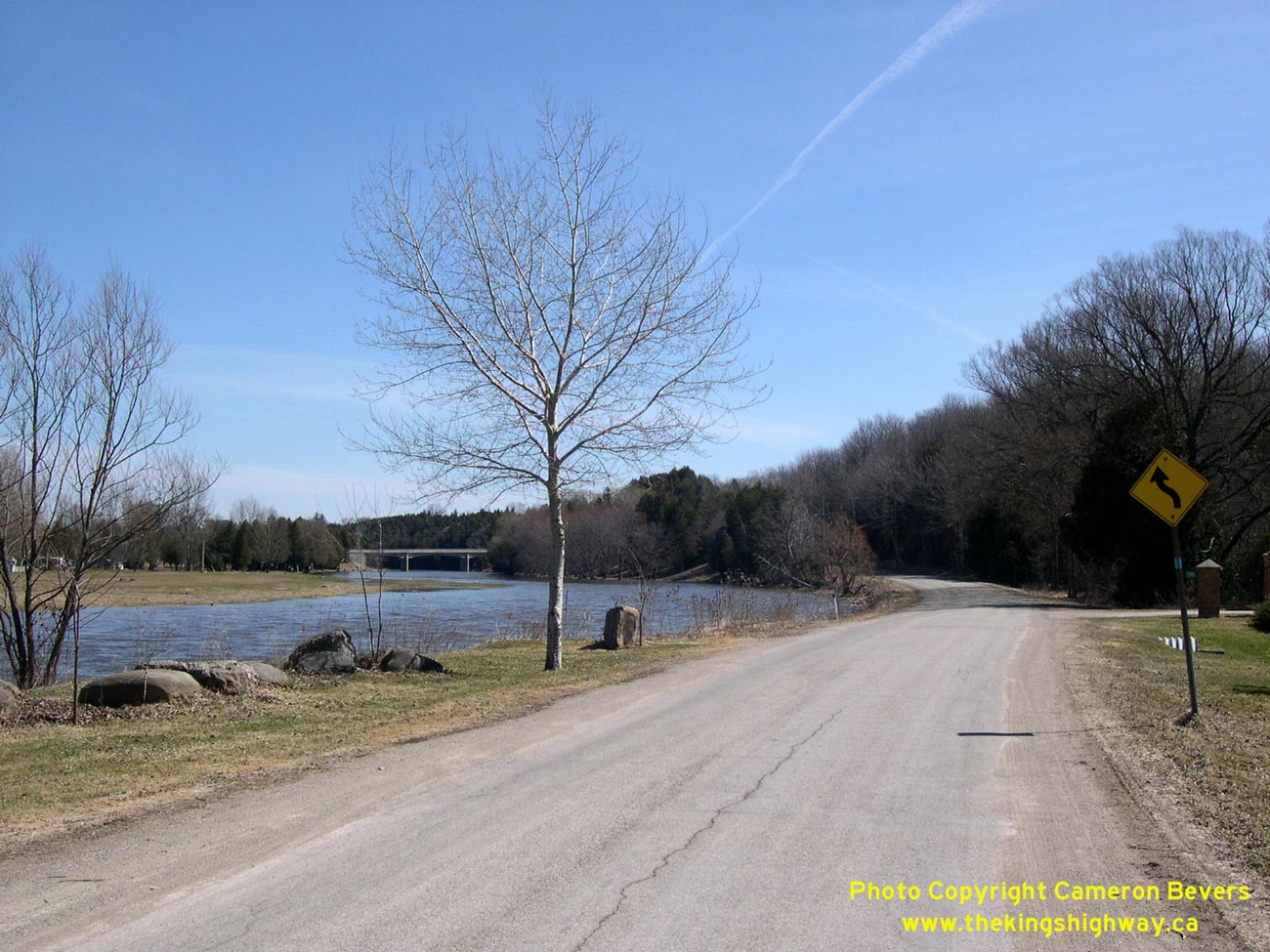
Left - Close-up of eastern side of West Montrose Bridge, and stone centre pier. See an
Enlarged Photo here. (Photograph taken on April 17, 2004 - © Cameron Bevers) Right - Looking west towards Elmira on Old Hwy 86 from West Montrose. See an Enlarged Photo here. (Photograph taken on April 9, 2005 - © Cameron Bevers) 
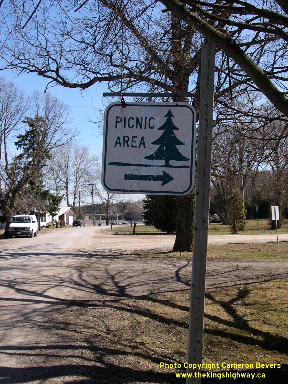
Above - Old Department of Highways Picnic Area sign on Old Hwy 86 at West Montrose. See an
Enlarged Photo here. (Photograph taken on April 9, 2005 - © Cameron Bevers) 

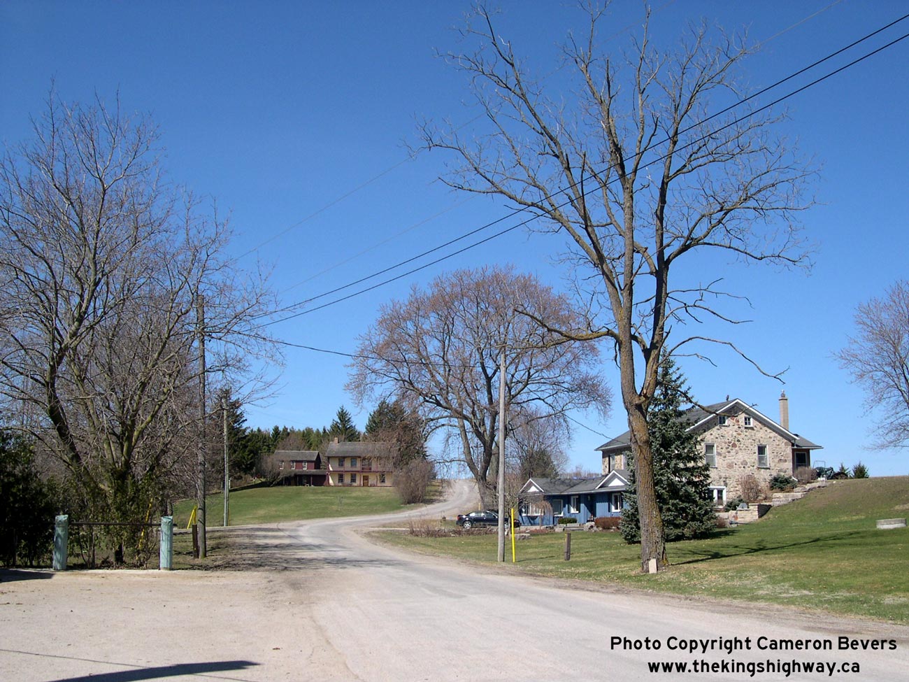
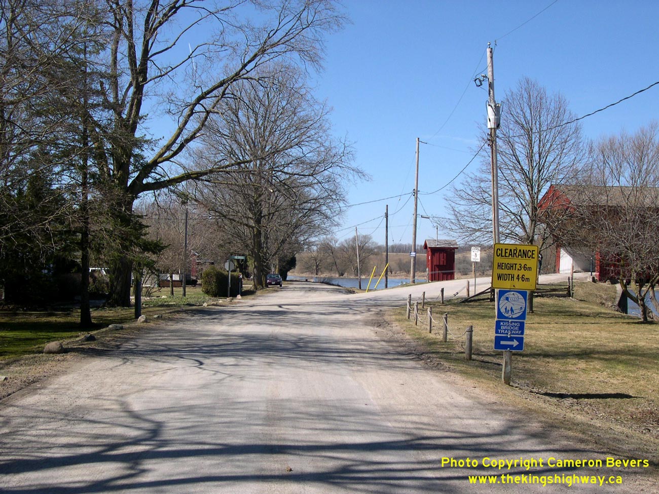
Left - Approaching West Montrose on Old Hwy 86 from Guelph, facing west towards Elmira. See an
Enlarged Photo here. (Photograph taken on April 9, 2005 - © Cameron Bevers) Right - Facing east towards Guelph along Old Hwy 86 alignment at West Montrose. Note the new West Montrose Bypass bridge crossing the river in the background. See an Enlarged Photo here. (Photograph taken on April 9, 2005 - © Cameron Bevers) 
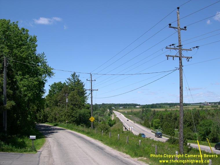
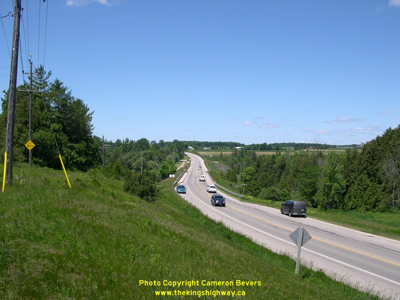
Left - West Montrose Bypass, facing west towards Elmira. See an
Enlarged Photo here. (Photograph taken on June 10, 2006 - © Cameron Bevers) Right - Original 1937 highway alignment at left winds slowly into West Montrose, while through traffic whizzes by on the newer 1950s bypass at right. See an Enlarged Photo here. (Photograph taken on June 10, 2006 - © Cameron Bevers)
More King's Highway 86 Photographs Coming Soon!
|
|---|
Links to Adjacent King's Highway Photograph Pages:
Back to King's Highway 85 Photos /
King's Highway 86 History /
On to King's Highway 87 Photos
Ontario Highway History - Main Menu / Back to List of Highways Website contents, photos & text © 2002-2026, Cameron
Bevers (Webmaster) - All Rights Reserved / Contact Me
|
|---|