
| 
| |
|
|
Please note that the highway between Elmira and Kitchener
was briefly known as King's Highway 86 from 1981 until 2003. For the purposes of organization, all photos
pertaining to the Elmira to Kitchener highway will be listed under the
Hwy 85 Photos Page, regardless of age.
This page contains present day photos (Year 2000 to date) of Ontario's King's Highway 86, arranged by location from Wingham easterly to Elmira. All photographs displayed on this page were taken by the Webmaster (Cameron Bevers), unless specifically noted otherwise. Click on any thumbnail to see a larger image! Please note that all photographs displayed on this
website are protected by copyright. These photographs must not be reproduced, published,
electronically stored or copied, distributed, or posted onto other websites without
my written permission. If you want to use photos from this website, please
email me first for permission. Thank-you!
|
|---|
|
Page 3: Present Day King's Highway 86 Photographs (Wingham to Elmira)
Above - Looking west towards Wingham, showing both the old and new routes of Hwy 86. The straight road off to the left is the Wingham Bypass that
was completed in the 1960s. The road curving to the right is Old Hwy 86, which goes into Downtown Wingham along Diagonal Road. This road was designated as
Hwy 86B for several years after the Wingham Bypass was opened. (Photograph taken on April 15, 2007 - © Cameron Bevers) 

Left - Older MTO fingerboard destination signs on Hwy 86 at the Wellington Road 9/Perth Road 140 Junction near Tralee. (Photograph taken on August 18, 2011 - © Cameron Bevers) Right - On former Hwy 86 between Dorking and the Tralee area, one half of the road lies in Perth County, while the other half lies in Wellington County. Note the dual county road names on the road marker to indicate the shared ownership of the road. (Photograph taken on August 18, 2011 - © Cameron Bevers) 
Left - Facing east along Hwy 86 towards Elmira from the Wellington Road 9/Perth Road 140 Junction near Tralee. (Photograph taken on August 18, 2011 - © Cameron Bevers) Right - Hwy 86 at the Wellington Road 9/Perth Road 140 Junction near Tralee, facing west towards Listowel. (Photograph taken on August 18, 2011 - © Cameron Bevers) 

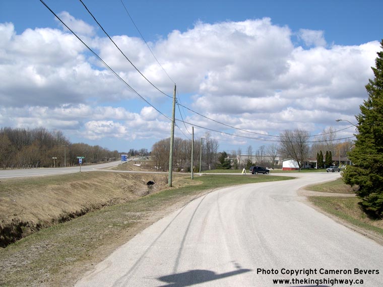
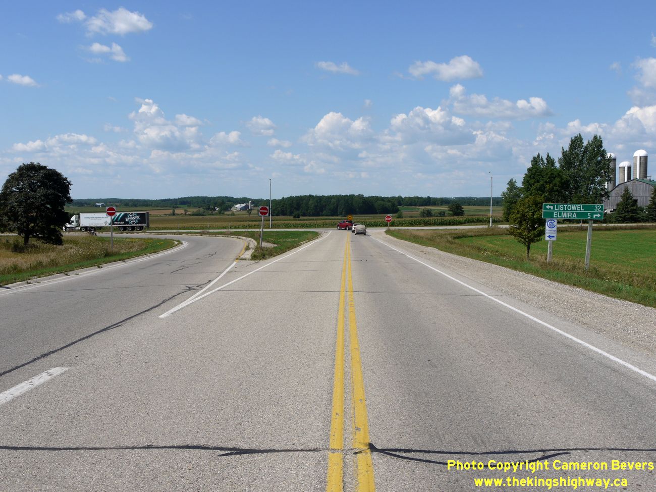
Left - Although it is no longer a provincial highway, Hwy 86 is still known by that name in many municipalities. (Photograph taken on August 18, 2011 - © Cameron Bevers) Right - Green guide sign for Perth Line 86 (Formerly King's Highway 86) approaching the northern terminus of Hwy 19 at Tralee. Like Hwy 19, jurisdiction over Hwy 86 was transferred or "downloaded" from the province to Perth County during the late 1990s. The reorganization of provincial and municipal government services during the 1990s resulted in the loss of many provincial highways, particularly in Southern Ontario. These two former King's Highways are now both county roads maintained by municipalities. See an Enlarged Photo Here. (Photograph taken on September 23, 2018 - © Cameron Bevers) 

Left - Facing south along Hwy 19 towards Milverton from the Hwy 86 Junction at Tralee. Note the Perth County Road 131 marker at right, which reflects former
King's Highway 19's new name in this part of Perth County. See an
Enlarged Photo Here. (Photograph taken on September 23, 2018 - © Cameron Bevers) Right - Northern terminus of Hwy 19 at the Hwy 86 Junction at Tralee. When Hwy 19 was first assumed as a King's Highway in July 1934, a strange anomaly was created in the provincial highway system at this location, albeit temporarily. The route of Hwy 19 simply came to an end at this intersection and did not continue north or connect to any other provincial highways. It merely ended at the Listowel-Elmira Road, which at the time was maintained by local municipalities. It wasn't until 1937 that motorists reaching the end of Hwy 19 could travel any further on a provincially-maintained King's Highway. This strange discontinuity in the highway network ceased when the DHO assumed responsibility for the Listowel-Elmira Road as King's Highway 86 in August 1937. See an Enlarged Photo Here. (Photograph taken on September 23, 2018 - © Cameron Bevers) 

Left - Guide signs at the Hwy 19 & Hwy 86 Junction at Tralee. The route of Hwy 86 straddles the boundary between the Counties of Wellington and Perth. See
an Enlarged Photo Here. (Photograph taken on September 23, 2018 - © Cameron Bevers) Right - Facing east along Hwy 86 towards Elmira from the Hwy 19 Junction at Tralee. See an Enlarged Photo Here. (Photograph taken on September 23, 2018 - © Cameron Bevers) 

Left - View of the Hwy 19 Junction on Hwy 86, facing west towards Listowel. Two channelized right-turn ramps were built at Tralee during an intersection
reconstruction project which took place here in 1953. This was one of several King's Highway junctions in Southwestern Ontario that was rebuilt in the early 1950s
with right-turn channelization ramps to expedite traffic flow. See an
Enlarged Photo Here. (Photograph taken on September 23, 2018 - © Cameron Bevers) Right - Approaching the Hwy 19 Junction on Hwy 86, facing east towards Elmira. Since being downloaded by the province in 1998, former King's Highway 19 from Tralee southerly to the Milverton area has been known officially as Perth Line 131. The Counties of Wellington and Perth retained the route number for Former King's Highway 86 after the highway was downloaded to them. See an Enlarged Photo Here. (Photograph taken on September 23, 2018 - © Cameron Bevers) 

Left - Facing west along Hwy 86 towards Listowel from the Hwy 19 Junction at Tralee. See an
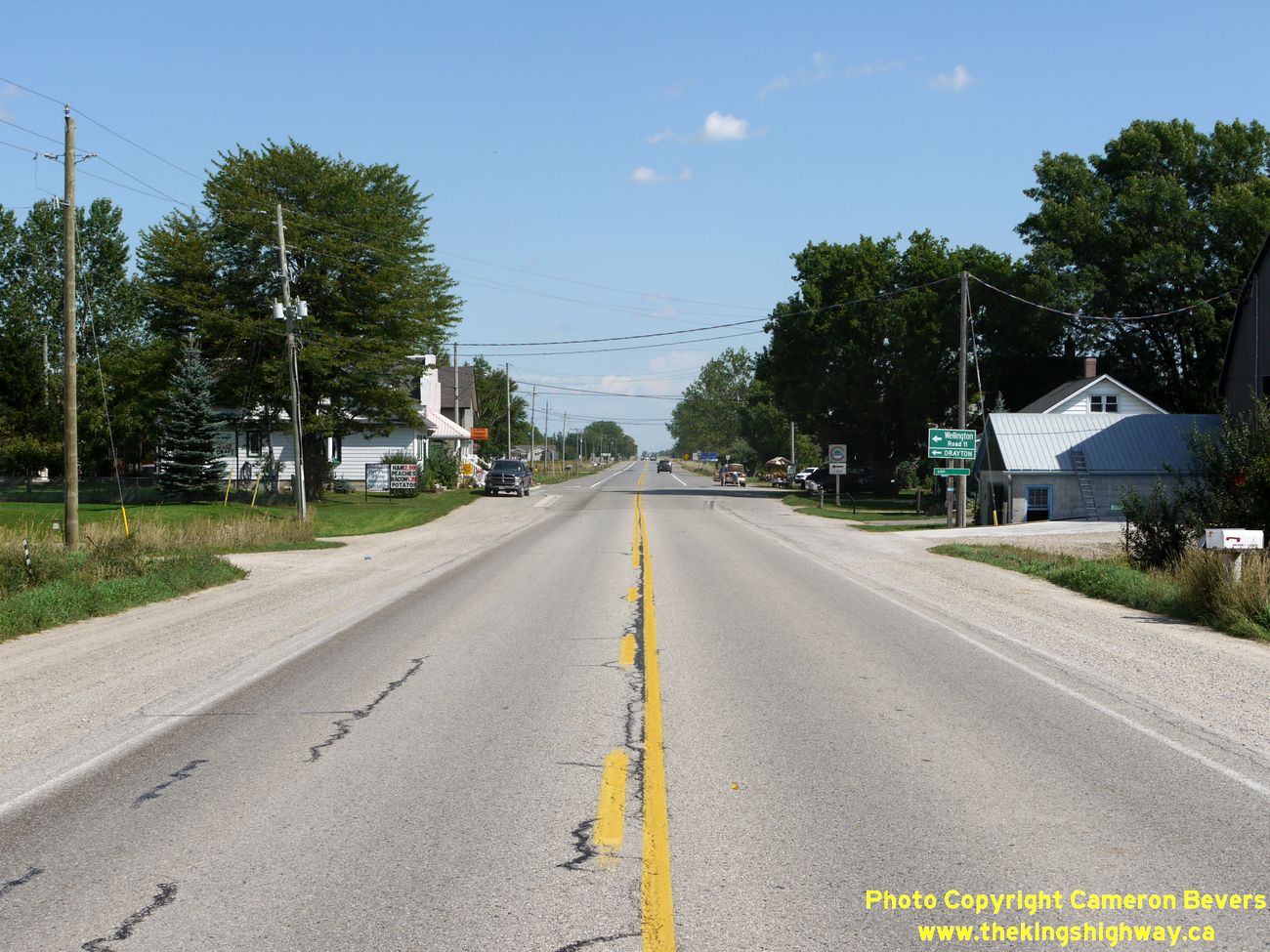
Enlarged Photo Here. (Photograph taken on September 23, 2018 - © Cameron Bevers) Right - Facing east along Hwy 86 through Dorking. This is one of several small communities lining Hwy 86 between Listowel and Elmira. See an Enlarged Photo Here. (Photograph taken on August 18, 2011 - © Cameron Bevers) 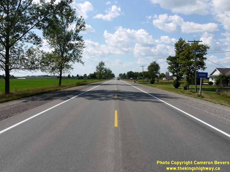
Left - Approaching Dorking on Hwy 86, facing west towards Listowel. (Photograph taken on August 18, 2011 - © Cameron Bevers) Right - Hwy 86 at Dorking, facing east towards Elmira. (Photograph taken on August 18, 2011 - © Cameron Bevers) 

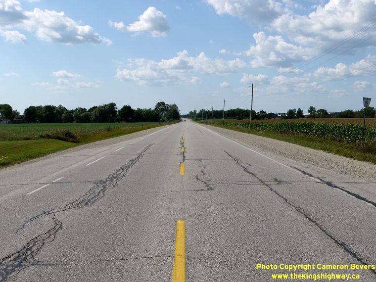
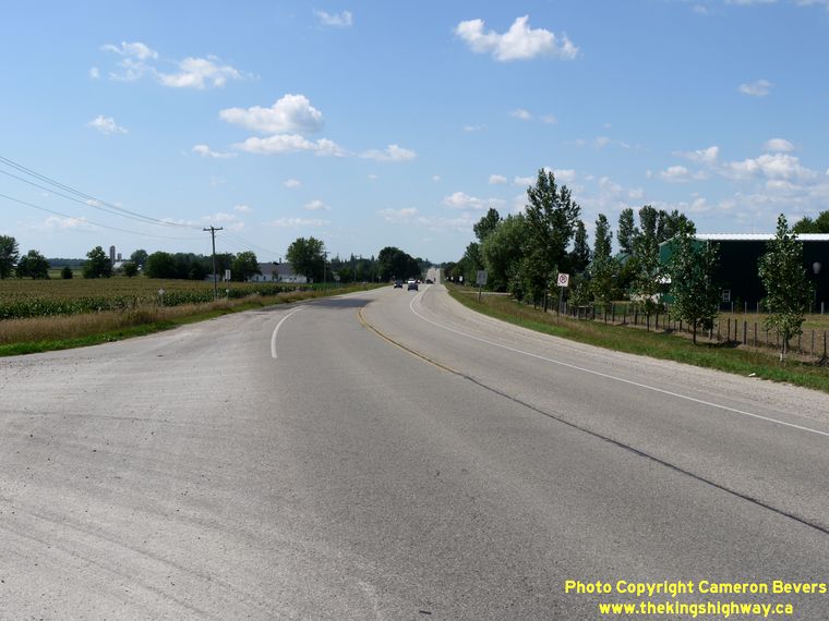
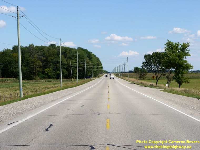
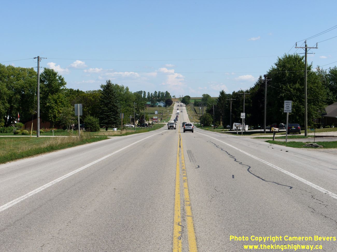
Left - Facing east along Hwy 86 towards Elmira near Macton. (Photograph taken on August 18, 2011 - © Cameron Bevers) Right - The relatively high percentage of heavy vehicles combined with rolling terrain can make Hwy 86 a rather frustrating drive between Elmira and Listowel. This is one road that would definitely benefit from the implementation of passing lanes at strategic locations, such as this hill just west of the Conestogo River. See an Enlarged Photo Here. (Photograph taken on August 18, 2011 - © Cameron Bevers) 
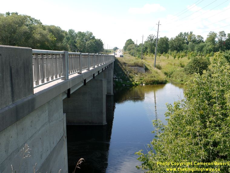
Left - Southern side of the Conestogo River Bridge on Hwy 86 at Wallenstein. Structure completed in 1964. (Photograph taken on August 18, 2011 - © Cameron Bevers) Right - Traces of the original bridge abutments can be seen on the north side of the existing Conestogo River Bridge. The original bridge at Wallenstein was a steel truss structure. This early 20th Century-era bridge was rather narrow, effectively carrying only one lane of highway traffic at a time. Initially, this narrow bridge wasn't too much of a problem, as traffic volumes on Hwy 86 were very light until about 1955. However, when traffic volumes on Hwy 86 shot up dramatically in the late 1950s and early 1960s, the old bridge began to constitute a significant hazard. The old bridge was replaced in 1964 with the current two-lane concrete girder structure. (Photograph taken on August 18, 2011 - © Cameron Bevers) 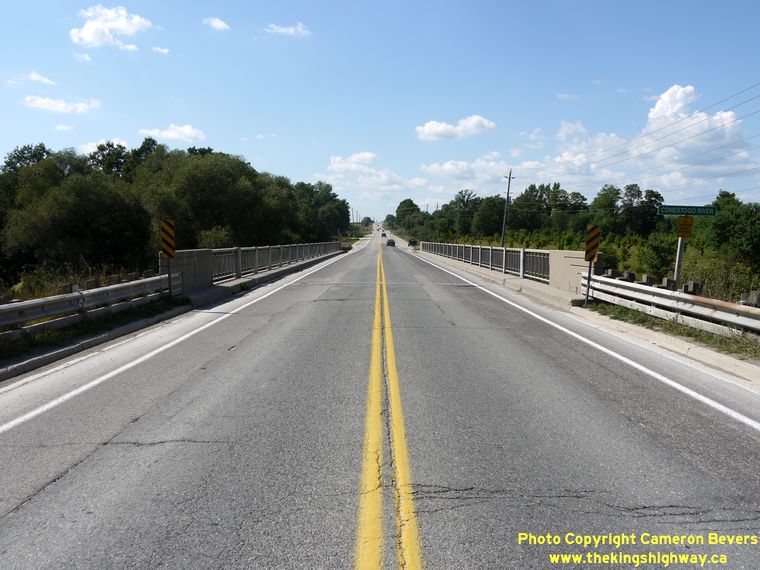

Left - Facing west along Hwy 86 towards Listowel at the Conestogo River Bridge at Wallenstein. (Photograph taken on August 18, 2011 - © Cameron Bevers) Right - Conestogo River Bridge on Hwy 86, facing east towards Elmira. (Photograph taken on August 18, 2011 - © Cameron Bevers) 

Left - Facing west along Hwy 86 towards the Conestogo River Bridge at Wallenstein. See an
Enlarged Photo Here. (Photograph taken on August 18, 2011 - © Cameron Bevers) Right - Facing east along Hwy 86 towards Elmira from Wallenstein. See an Enlarged Photo Here. (Photograph taken on August 18, 2011 - © Cameron Bevers) 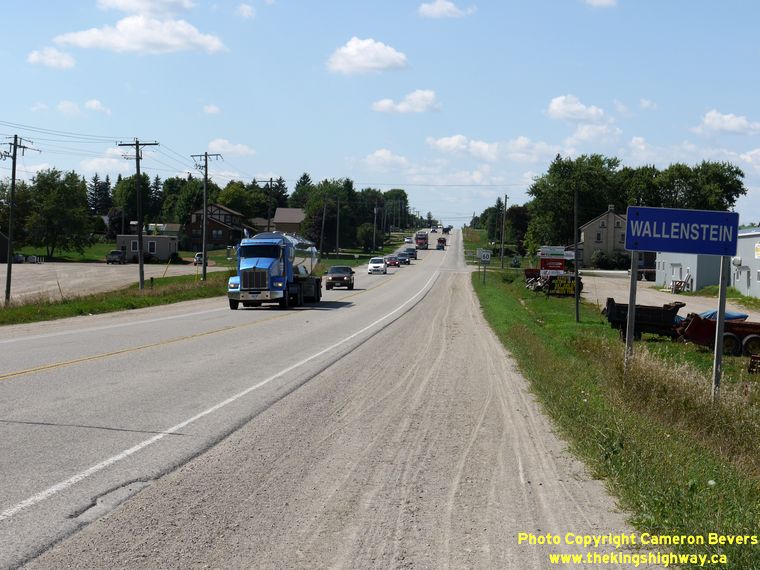
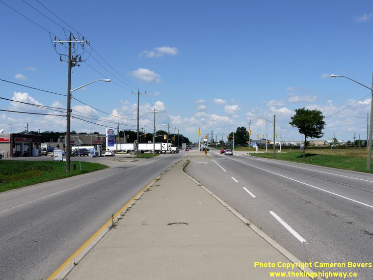
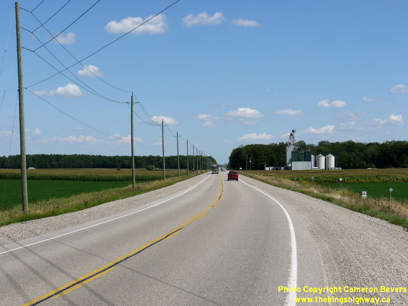
Left - Heavy traffic on Hwy 86 at Wallenstein. The section of Hwy 86 between Waterloo and Listowel was one of the busier King's Highways downloaded to
municipalities during the hasty restructuring of the provincial highway system in 1997-1998. Given the long-distance traffic patterns that exist here, this is one
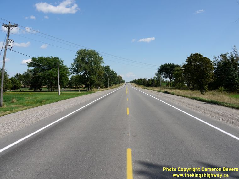
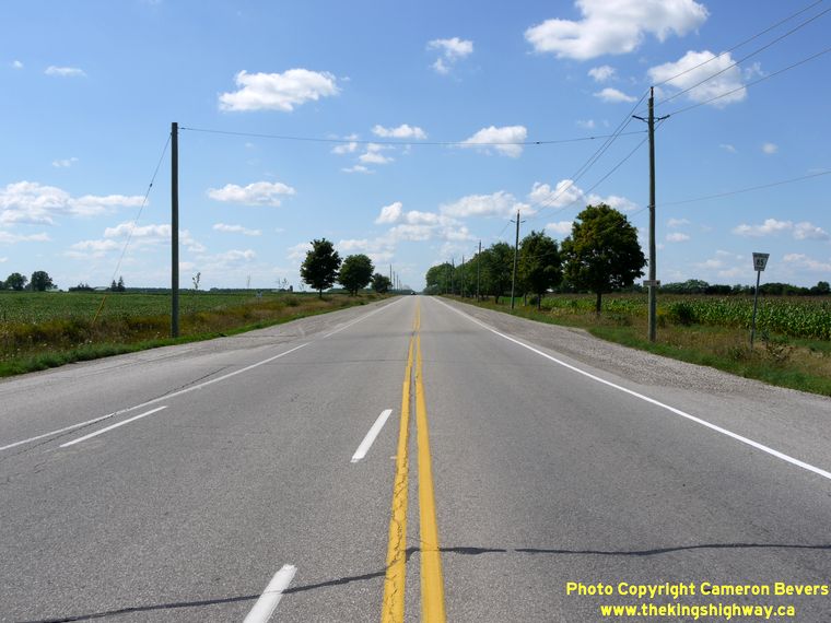
road that really ought to be a provincial highway in my personal opinion. (Photograph taken on August 18, 2011 - © Cameron Bevers) Right - Hwy 86 at the Wellesley Township Boundary, facing west towards Listowel. This is the first major curve in the highway since the Bluevale Diversion in the Wingham area. The route of Hwy 86 is quite possibly the straightest highway in Ontario, which runs essentially on a tangent for almost 60 km from this point to Bluevale. (Photograph taken on August 18, 2011 - © Cameron Bevers) 

Left - Region of Waterloo installed guide sign on Eastbound Hwy 86 approaching the Elmira Bypass. (Photograph taken on August 18, 2011 - © Cameron Bevers) Right - Approaching the Elmira Bypass on Hwy 86 between Wallenstein and Elmira, facing east. (Photograph taken on August 18, 2011 - © Cameron Bevers) 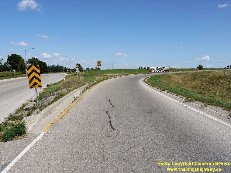

Left - A large right turn channelization was constructed to carry traffic from Eastbound Hwy 86 onto the Elmira Bypass. (Photograph taken on August 18, 2011 - © Cameron Bevers) Right - Facing south along the Elmira Bypass from the Hwy 86 Junction east of Wallenstein. This strategic cut-off route encircles the south-west side of Elmira. It was originally a Waterloo County Road (Waterloo Road 20), but was later designated as a King's Highway by the province in 1980 as part of corridor-wide improvement program on Hwy 85 & Hwy 86. The Elmira Bypass allows the heavy north-to-west and east-to-south traffic movements to bypass busy Downtown Elmira. (Photograph taken on August 18, 2011 - © Cameron Bevers) 

Left - Facing west along Hwy 86 towards Wallenstein from the northern terminus of the Elmira Bypass. (Photograph taken on August 18, 2011 - © Cameron Bevers) Right - Facing east along Hwy 86 towards the Elmira Bypass Junction. Prior to 1975, Hwy 86 continued east beyond Elmira to join Hwy 7 in Guelph. Following the completion of the Elmira Bypass, Hwy 86 was rerouted from this intersection south into Waterloo along the Elmira Bypass. In addition to designating the Elmira Bypass as Hwy 86, this route renumbering also supplanted the old Hwy 85 designation which had previously existed between Elmira and Waterloo. (Photograph taken on August 18, 2011 - © Cameron Bevers) 
Left - Facing south along the Elmira Bypass towards Waterloo from Hwy 86. The large right-turn channelization merges near the crest of the hill. (Photograph taken on August 18, 2011 - © Cameron Bevers) Right - Northern terminus of the Elmira Bypass at Hwy 86, between Wallenstein and Elmira. (Photograph taken on August 18, 2011 - © Cameron Bevers) 

Left - Facing west along Hwy 86 towards the Elmira Bypass Junction near Wallenstein. (Photograph taken on August 18, 2011 - © Cameron Bevers) Right - The route of Hwy 86 once continued east from the Elmira Bypass through Elmira to Guelph. The former route of Hwy 86 east of this point is known as Waterloo Road 86. (Photograph taken on August 18, 2011 - © Cameron Bevers) 

Left - Approaching the northern terminus of the Elmira Bypass at the Hwy 86 Junction. The reconstruction of this intersection in 1981 was the last stage in a
multi-year project to improve Hwy 85 & Hwy 86 in the Waterloo and Elmira areas. See an
Enlarged Photo Here. (Photograph taken on August 18, 2011 - © Cameron Bevers) Right - Facing west along the Elmira Bypass at the curve. From here, the Elmira Bypass swings north for a short distance where it joins Hwy 86. (Photograph taken on August 18, 2011 - © Cameron Bevers) 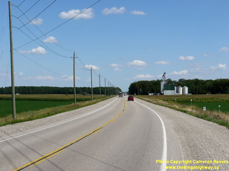
Left - Facing east along the Elmira Bypass. This former Waterloo County Road was assumed by the province as a new King's Highway during 1980 and was
later incorporated into the route of Hwy 86. See an
Enlarged Photo Here. (Photograph taken on August 18, 2011 - © Cameron Bevers) Right - Facing east along the Elmira Bypass. In addition to providing much-needed traffic congestion relief through Elmira, this 5 km bypass also shortened the highway mileage slightly between Waterloo and Listowel. (Photograph taken on August 18, 2011 - © Cameron Bevers) 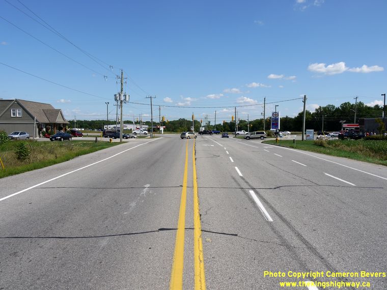
Left - Facing east along the Elmira Bypass towards Arthur Street. From this point, the route of Hwy 86 turned right onto Arthur Street and continued south
towards Waterloo. See an Enlarged Photo Here. (Photograph taken on August 18, 2011 - © Cameron Bevers) Right - Facing west along the Elmira Bypass from Arthur Street (Hwy 86 South). (Photograph taken on August 18, 2011 - © Cameron Bevers) 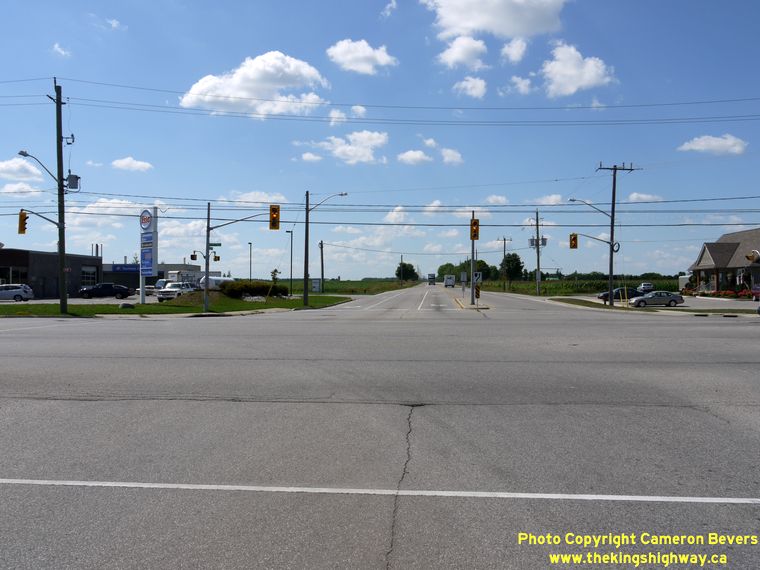
Left - Start of the Elmira Bypass, facing west from Arthur Street (Hwy 86 South). (Photograph taken on August 18, 2011 - © Cameron Bevers) Right - Approaching the Elmira Bypass on Arthur Street (Hwy 86 South). See an Enlarged Photo Here. (Photograph taken on August 18, 2011 - © Cameron Bevers)
Continue on to King's Highway 86 Photos: Elmira to Guelph
|
|---|
Links to Adjacent King's Highway Photograph Pages:
Back to King's Highway 85 Photos /
King's Highway 86 History /
On to King's Highway 87 Photos
Ontario Highway History - Main Menu / Back to List of Highways Website contents, photos & text © 2002-2026, Cameron
Bevers (Webmaster) - All Rights Reserved / Contact Me
|
|---|