
| 
| |
|
|
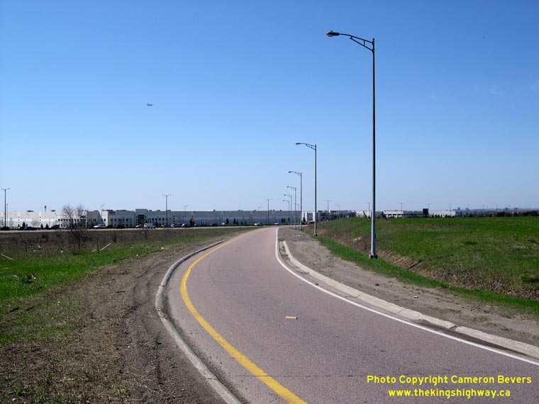
This page contains present day photos (Year 2000 to date) of Ontario's King's Highway 10, arranged by location from Port Credit
northerly to Caledon. All photographs displayed on this page were taken by the Webmaster (Cameron Bevers), unless specifically noted otherwise. Click on any
thumbnail to see a larger image!
Please note that all photographs displayed on this
website are protected by copyright. These photographs must not be reproduced, published,
electronically stored or copied, distributed, or posted onto other websites without
my written permission. If you want to use photos from this website, please
email me first for permission. Thank-you!
|
|---|
|
Page 3: Present Day King's Highway 10 Photographs (Port Credit to Caledon)


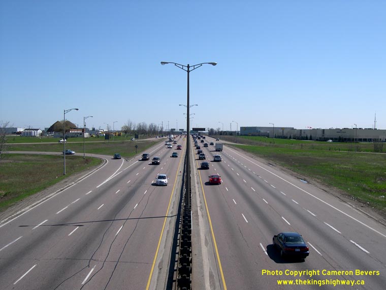
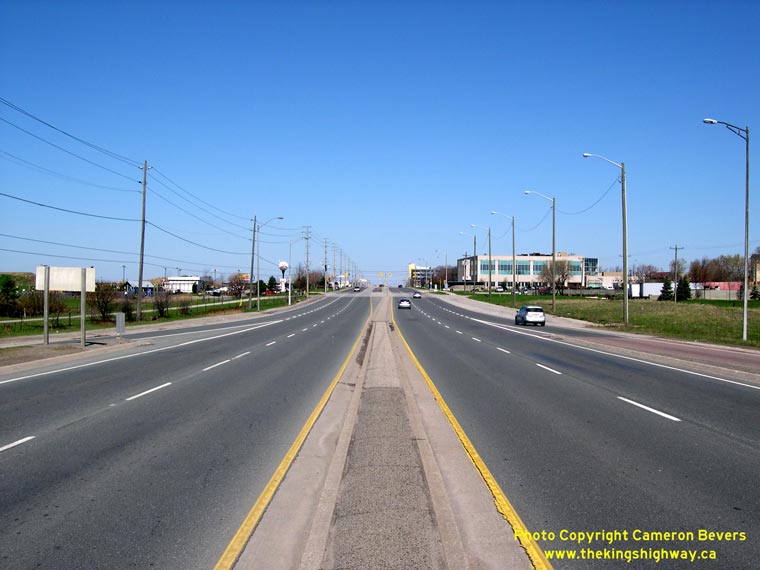
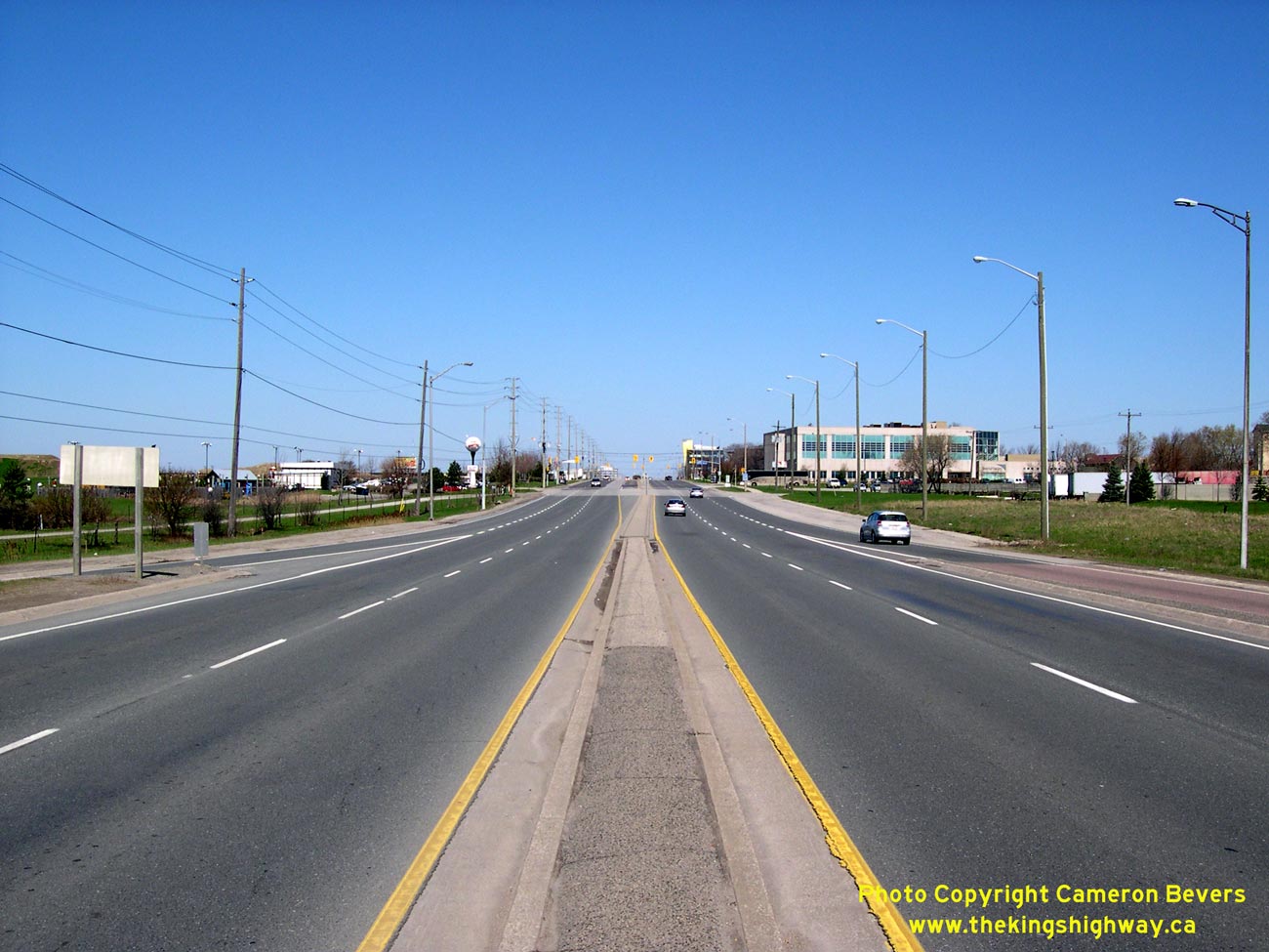
Left - Facing north along Hwy 10 (Hurontario Street) towards Cooksville from the Queen Elizabeth Way Overpass near Port Credit. See an
Enlarged Photo here. (Photograph taken on July 17, 2005 - © Cameron Bevers) Right - Facing south along Hwy 10 (Hurontario Street) towards Port Credit from the Queen Elizabeth Way Overpass. See an Enlarged Photo here. (Photograph taken on July 17, 2005 - © Cameron Bevers) 

Left - Facing north along Hwy 10 towards the Queen Elizabeth Way cloverleaf and overpass. This was the location of Canada's first cloverleaf interchange, which
was constructed in 1937. The original 1937 interchange was reconstructed in 1962. See an
Enlarged Photo here. (Photograph taken on July 17, 2005 - © Cameron Bevers) Right - Southern side of the Queen Elizabeth Way Overpass at Hwy 10 (Hurontario Street). See an Enlarged Photo here. (Photograph taken on July 17, 2005 - © Cameron Bevers) 

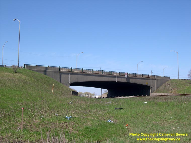
Left - Northern side of the Queen Elizabeth Way Overpass at the Hwy 10 (Hurontario Street) Cloverleaf. Structure completed in 1962. See an
Enlarged Photo here. (Photograph taken on April 10, 2005 - © Cameron Bevers) Right - Overhead guide sign marking the Hurontario Street (Hwy 10) Interchange on Eastbound Hwy 401. See an Enlarged Photo Here. (Photograph taken on April 12, 2009 - © Cameron Bevers) 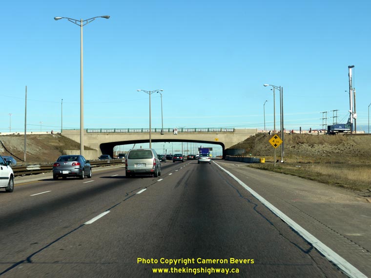
Left - Facing east along Eastbound Hwy 401 approaching the Hurontario Street (Hwy 10) Overpass in Mississauga. (Photograph taken on November 14, 2009 - © Cameron Bevers) Right - Old Hurontario Street (Hwy 10) Overpass on Hwy 401 in Mississauga. This single span concrete rigid frame structure was completed in 1957. This design was typical of many early Hwy 401 bridges. The Hurontario Street Overpass was one of five similar bridges built along the western extension of Hwy 401 between Hwy 10 and the Hwy 27 Interchange in Toronto. However, the other four examples (today's Renforth Drive, Dixie Road, Tomken Road and Kennedy Road) were all demolished during the 1970s and 1980s, as part of the introduction of the Express-Collector Lane System on Hwy 401 west of Toronto. The old Hurontario Street Overpass met a similar fate in 2011, when it was removed for highway expansion. (Photograph taken on April 29, 2007 - © Cameron Bevers) 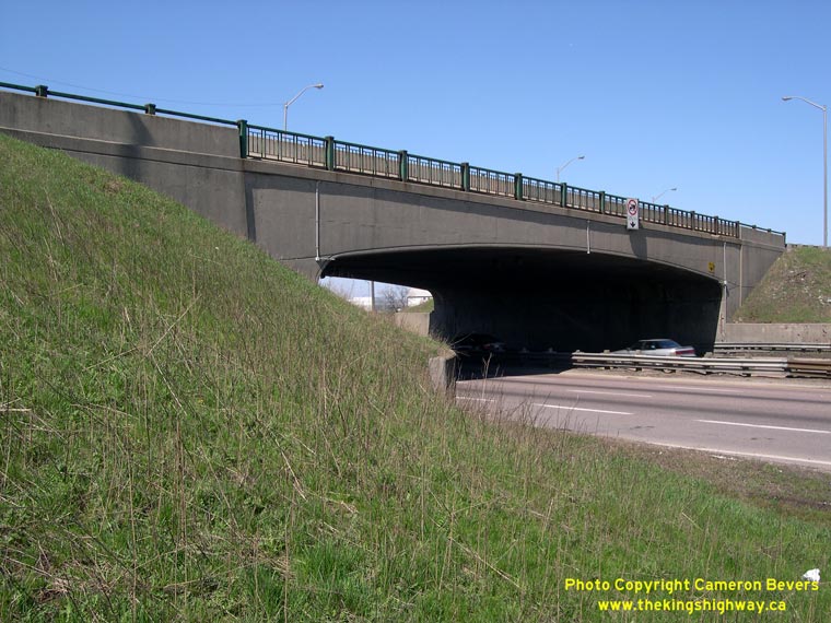
Left - Close-up of the original 1957 Hwy 10 Overpass on Hwy 401. During the 1960s, the structure was widened to allow for an expansion of Hwy 10 to four lanes
through the Hwy 401 Interchange. A careful observer can spot evidence of the construction joint between the original 1957 structure and the 1967 structure widening
on the far-side abutment. (Photograph taken on April 29, 2007 - © Cameron Bevers) Right - Facing east along Hwy 401 from the Hurontario Street (Hwy 10) Overpass in Mississauga. When Hwy 401 was first built, the new freeway ended at the Hwy 10 Interchange for over a year. The highway was completed and officially opened to traffic from the Hwy 27 Interchange to the Hwy 10 Interchange by Thomas Laird Kennedy, M.P.P. for Peel, on November 3, 1958. The extension of Hwy 401 to Milton was completed the following year, and was officially opened to traffic on November 26, 1959. See an Enlarged Photo Here. (Photograph taken on April 29, 2007 - © Cameron Bevers) 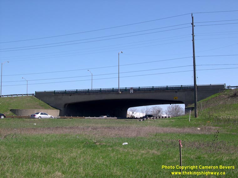
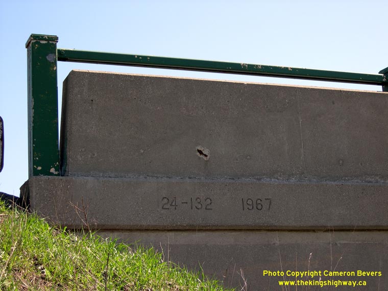
Left - Western side of the Hurontario Street Overpass. When the structure was widened in 1967, all attempts were made to match the design of the existing 1957
structure beside it. (Photograph taken on April 29, 2007 - © Cameron Bevers) Right - Structure identification number and date stamp (1967) on the Hurontario Street Overpass on Hwy 401 in Mississauga. The date stamp refers to the widened section of the structure, which was built on the western side of the original 1957 structure. The widening was required in order to expand Hwy 10 to four lanes between Cooksville (now part of Mississauga) and Brampton during the 1960s. (Photograph taken on April 29, 2007 - © Cameron Bevers) 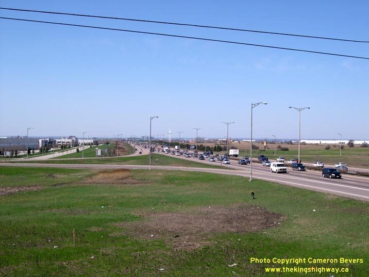

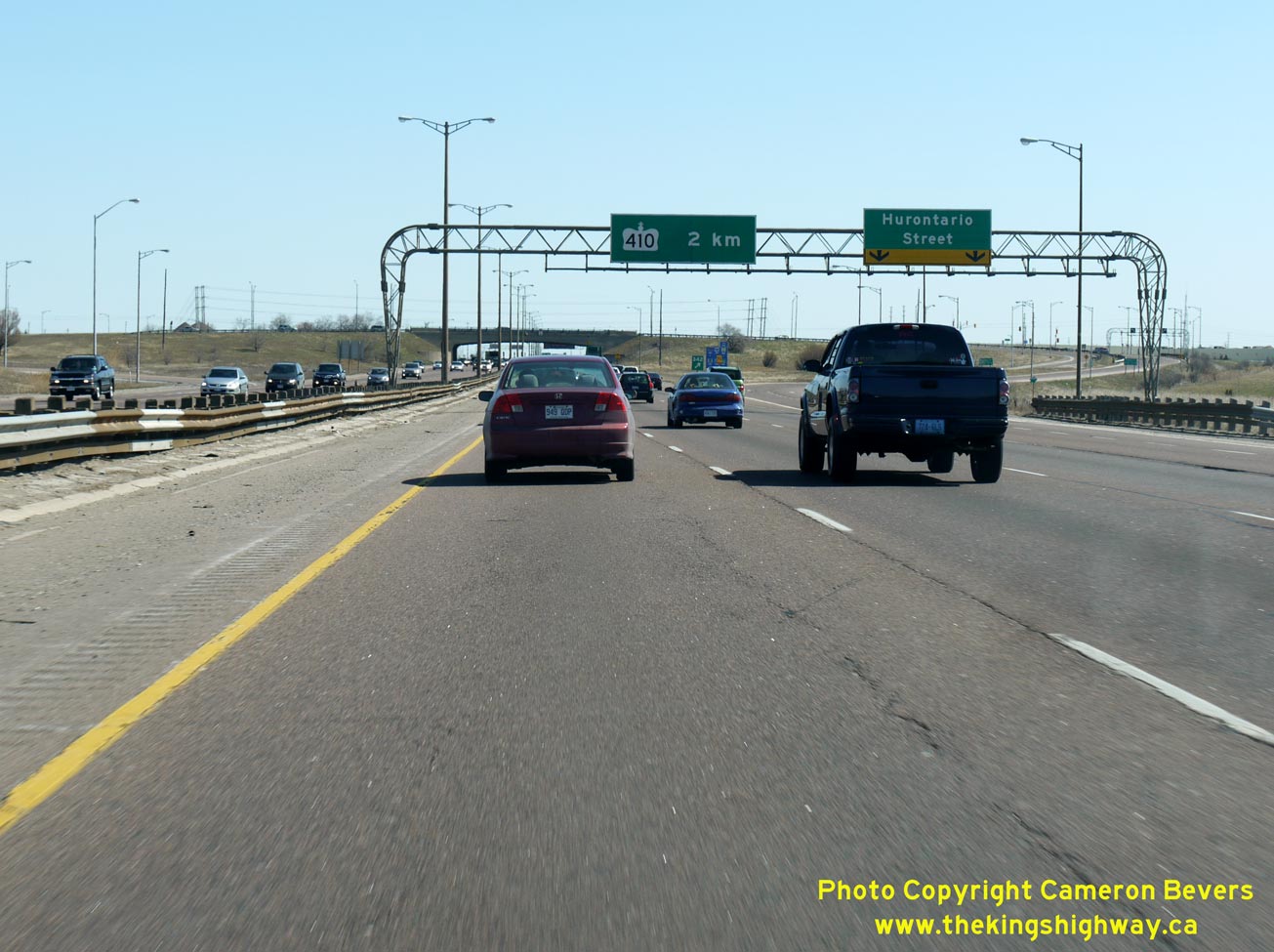
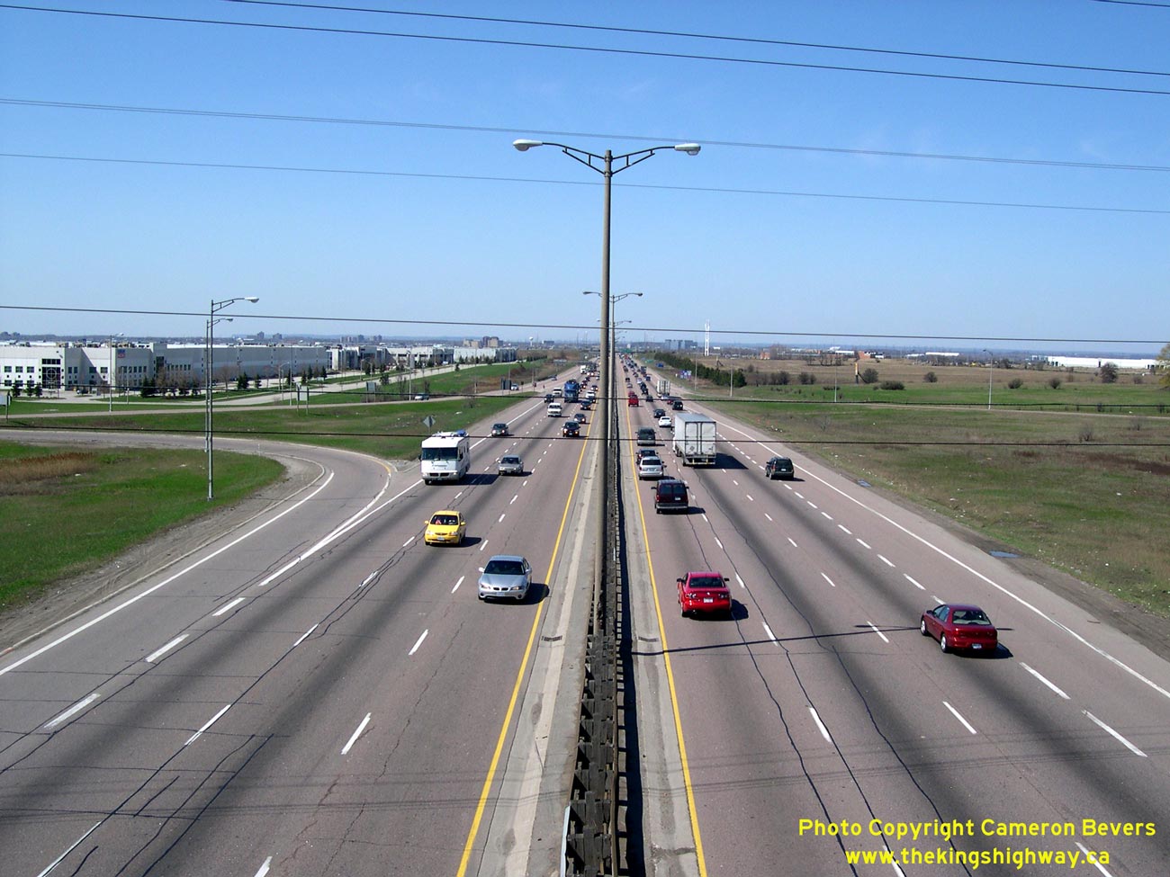
Left - Sufficient right-of-way was secured alongside Hwy 401 to eventually construct an Express-Collector Lane System through the Hurontario Street (Hwy 10)
Interchange. Traffic volumes on this section of Hwy 401 are quite heavy, even on a Sunday morning when this photo was taken. In 2009, a multi-year reconstruction
contract began to expand Hwy 401 to 12 lanes from Hwy 410 through the Hurontario Street (Hwy 10) Interchange. See an
Enlarged Photo Here. (Photograph taken on April 29, 2007 - © Cameron Bevers) Right - Facing west along Hwy 401 towards Milton from the Hurontario Street (Hwy 10) Overpass in Mississauga. See an Enlarged Photo Here. (Photograph taken on April 29, 2007 - © Cameron Bevers) 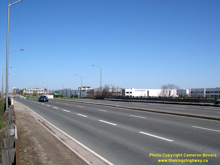
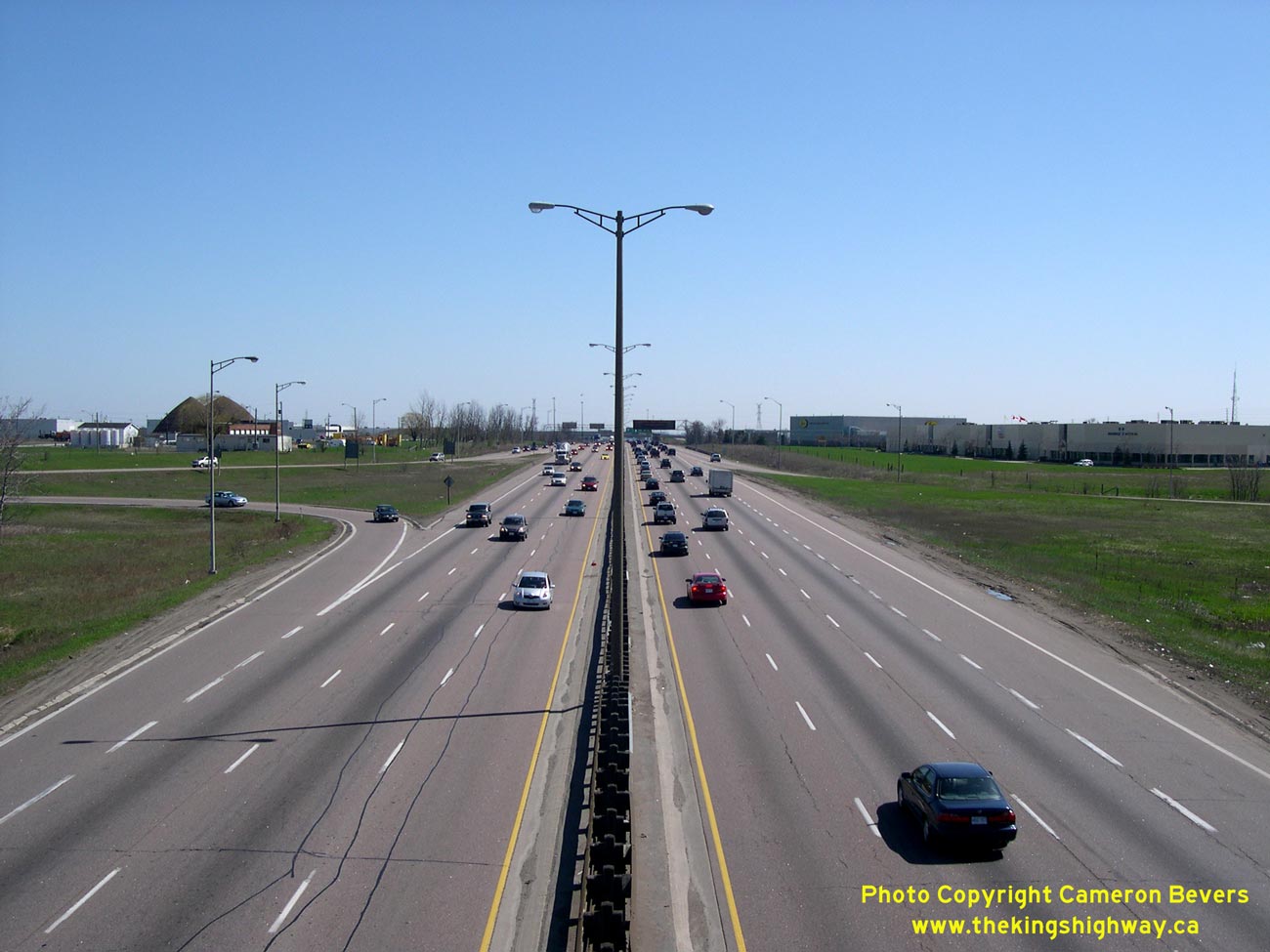
Left - Hurontario Street (Hwy 10) Overpass on Hwy 401, facing north towards Brampton. (Photograph taken on April 29, 2007 - © Cameron Bevers) Right - When the Hwy 10 Interchange was first opened to traffic in 1957, the interchange ramps were in a full eight-ramp cloverleaf configuration. During the mid-1970s, the far-side inner loop ramps at the Hwy 10 Cloverleaf were removed, turning it into a more conventional "Parclo A-4" interchange. However, the outer directional ramps at the Hwy 10 Interchange were never realigned, so the ramps exhibited long tangent sections like the example shown here. It was not until the Hurontario Street Interchange came up for full reconstruction in 2009 that a realignment of these ramps was undertaken. (Photograph taken on April 29, 2007 - © Cameron Bevers) 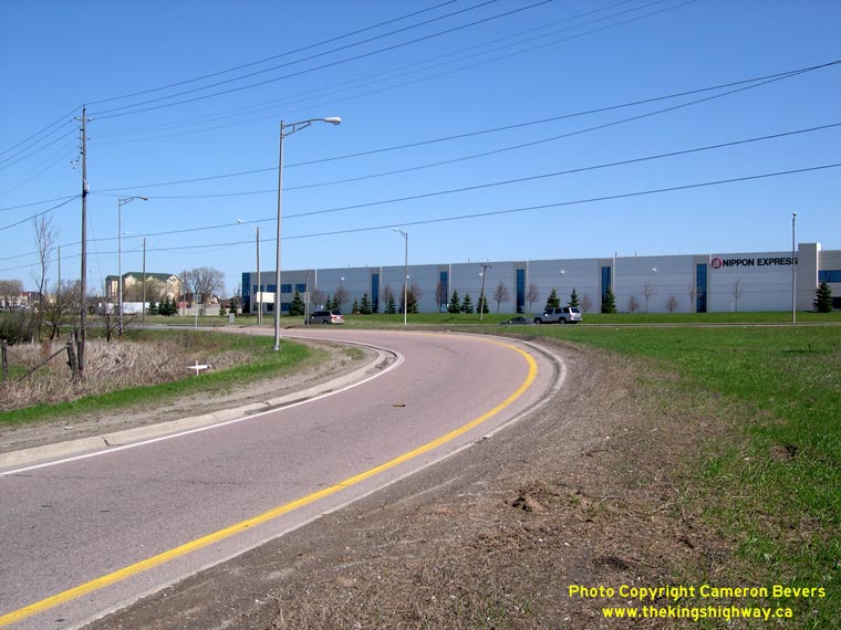
Left - Although the ramps at the Hurontario Street Interchange were converted from a full eight-ramp cloverleaf configuration to a "Parclo A-4" configuration
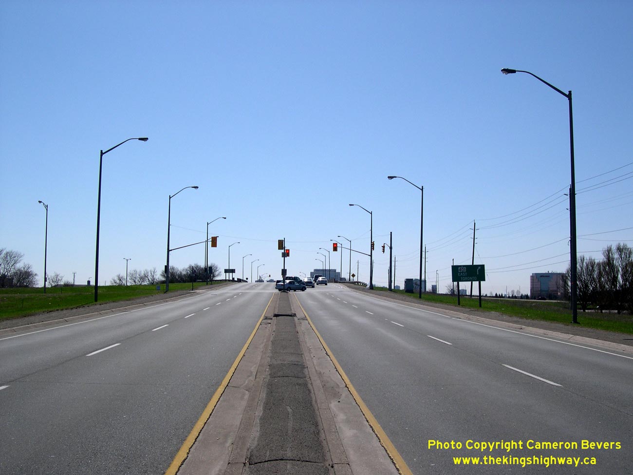
in 1975-1976, the abrupt horizontal geometry that typified most older Ontario full cloverleaf interchanges is still quite apparent here. (Photograph taken on April 29, 2007 - © Cameron Bevers) Right - Facing north along Hurontario Street (Hwy 10) towards Brampton from the Hwy 401 Interchange. With the continuing trend towards urbanization along the Hwy 10 corridor through Mississauga over the past 30 years, the route of Hwy 10 has ceased to serve as a long-distance through highway. Accordingly, the provincial government has relinquished control of the section of Hwy 10 between Hwy 401 and Brampton. It is now a municipal street. See an Enlarged Photo Here. (Photograph taken on April 29, 2007 - © Cameron Bevers) 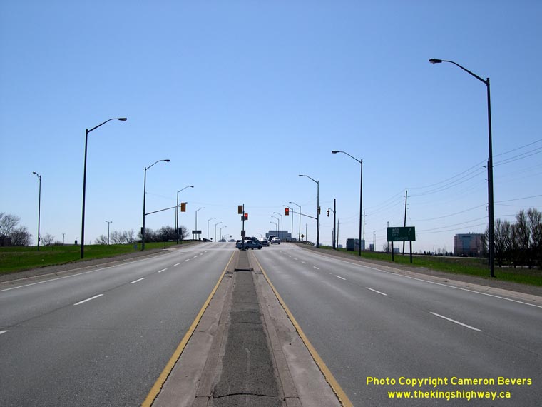
Left - Facing south along Hurontario Street (Hwy 10) towards the Hwy 401 Interchange. This interchange was completely rebuilt during a multi-year reconstruction
project which began in 2009 and will be completed in 2013. As part of this reconstruction project, Hurontario Street itself will be widened to 6 lanes. See an
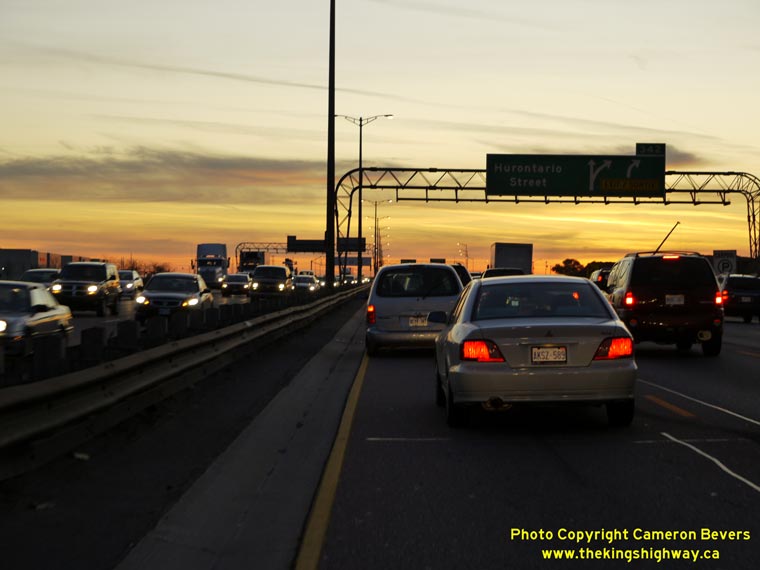
Enlarged Photo Here. (Photograph taken on April 29, 2007 - © Cameron Bevers) Right - Rush hour on Westbound Hwy 401 approaching the Hurontario Street Interchange in Mississauga. The collapse of the Express-Collector Lane System at the Hwy 410 Interchange created a huge traffic bottleneck. In 2009, construction began to extend the complex freeway westerly for about 3 km, which will help alleviate the weaving problem between the end of the complex freeway and the Hurontario Street Interchange. (Photograph taken on November 6, 2009 - © Cameron Bevers)
Continue on to King's Highway 10 Present Day Photos: Caledon to Shelburne
|
|---|
Links to Adjacent King's Highway Photograph Pages:
Back to Hwy 10 - Historical Photos (1980-1999)
Hwy 10 Photo Index
On to Hwy 10 - Caledon to Shelburne
Back to King's Highway 9 Photos /
King's Highway 10 History /
On to King's Highway 11 Photos
Ontario Highway History - Main Menu / Back to List of Highways Website contents, photos & text © 2002-2026, Cameron
Bevers (Webmaster) - All Rights Reserved / Contact Me
|
|---|